Pano Arkhimandrita – Kato Arkhimandrita – Khapotami Gorge – Pano Arkhimandrita
Date Last Walked: November 2023
Distance: Full walk – 9 miles (15 km); Short walk – 5.5 miles (9 km)
Duration: Full walk – Approximately 3 hours 50 minutes (excluding stops); Short walk – approximately 2 hours 20 minutes (excluding stops)
Difficulty: Moderately easy – apart from a couple of steep climbs. Large sections without shade.
GPX file available on request
This is a reasonably short circular walk which can probably be done in half a day, particularly if you are based in Paphos. It starts in Pano Arkhimandrita and takes in the now-deserted village of Kato Arkhimandrita before heading into the Khapotami gorge. Although there is some shade along much of the route there are also some large sections – particularly emerging from the gorge and heading back to Pano Arkhimandrita – where there is virtually no cover at all. We have only ever done this walk in spring or autumn and would probably not attempt it in the summer months.
(If you wish only to walk the Khapotami Gorge itself then your starting -and finishing – point will be the church at Kato Arkhimandrita. This is indicated below at the 40-minute mark.)
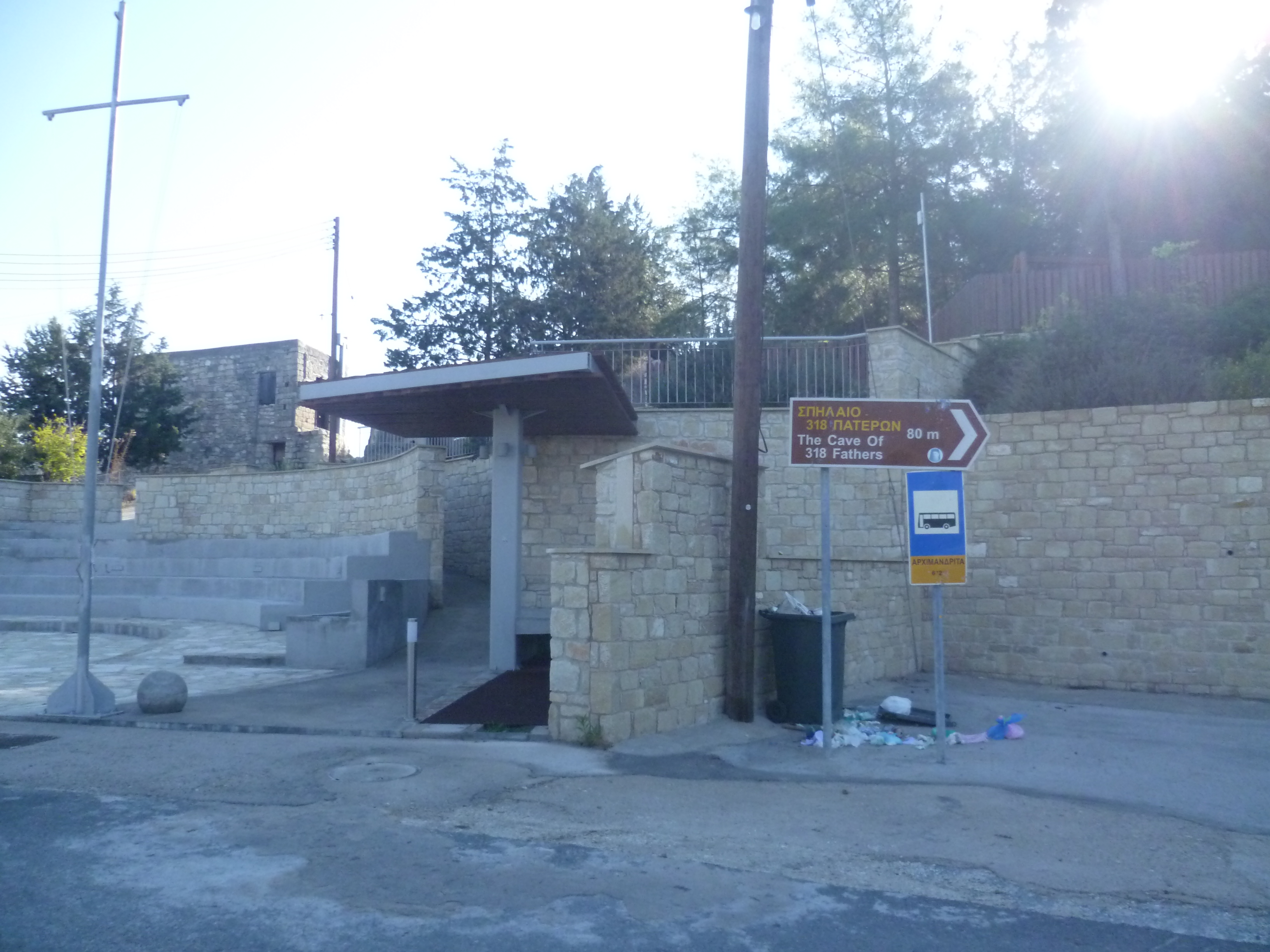
Park up at the top of the village of Pano Arkhimandrita: there is some nice shade just off the left hand side of the road next to the village bus stop. This is opposite a mini amphitheatre and, more usefully, a brown sign indicating the way to The Cave of 318 Fathers. The GPS co-ordinates for the start here are: 34.749864N, 32.677221E.
Start the walk by crossing the road and following the brown sign along an uphill concrete road which heads round a left hand bend and then, some 50 metres later, down concrete steps to a shrine. It’s worth spending a couple of minutes looking at the cave paintings, the (slightly gruesome) collection of human bones said to represent 318 saints slaughtered by local heathens and the (slightly weird) wax votive offerings attached to the display.

When you are ready to carry on, step out of the shrine and scramble down the slope next to the telegraph pole onto the earth track that you can see just below. Follow this to the right as it hugs the contour of the hill, ending just below the village church on a concrete road (10 minutes).
Turn right here and then almost immediately left onto the F612, heading downhill. You will be on this almost-deserted country road for a few minutes only until (15 minutes) you come to this sign on your left…
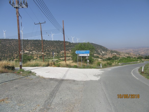
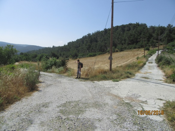
This is the old road to the deserted village of Kato Arkhimandrita. Turn left here and head towards the village. After a couple of minutes follow the road round to the left at a junction, as indicated below…
This is a pleasant, largely shaded walk along the right-hand side of the Arkhimandrita valley. It’s easy walking and we’ve never seen any vehicles on this road. The reason for this is apparent when, after about 40 minutes, you come to Kato Arkhimandrita.

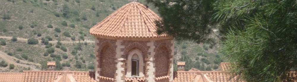
There is a pleasant chapel with shade and benches here – a good place for a brief stop – but the village itself is ruined, the villagers having long since moved to Pano Arkhimandrita in the 1960s.
(The short walk starts from here – you can park up next to the church. GPS – 34.736343N, 32.680172E)
Walk through the village, coming to a junction at its end with a restored house on the corner. Take the left turn here which heads downhill to a ford at about 48 minutes. You will need to walk across the ford – this has never been a problem whenever we have been here.
Once through the ford you will arrive at a crossroads [34.732848N, 32.677950E].

Take the right-hand turn and begin following an earth track uphill along the side of the valley with the river bed to your right. This will be your route all the way into, through and out of the Khapotami Gorge so you won’t be looking to diverge from it for the next hour and a half.
The track initially follows the valley contour, with shallow climbs and descents amongst shaded woodland. After about 1 hour 10 minutes the cliffs to your left begin to tower high up above you whilst the view of all but one of the wind turbines up on the hills to your right gradually becomes obscured as the track heads down into the river bed.

You are now walking on the valley floor and in spring, this is a truly verdant place with plenty of fresh shoots, an abundance of amazing colour and the sound of bird song everywhere. In winter, it can occasionally be a trifle muddy and damp but it is still an impressive place.
Keep following the track along the valley floor until, after about 1 hour 30 minutes, it emerges into the open. You are still at the level of the valley floor but, from this point, your path will begin to climb. There will also be no shade for a while now and, even late in the year, it can be a warm slog uphill.
The climb is gradual, affording plenty of spectacular views both across and back down the gorge. Once, on our way up, we caught sight of this:
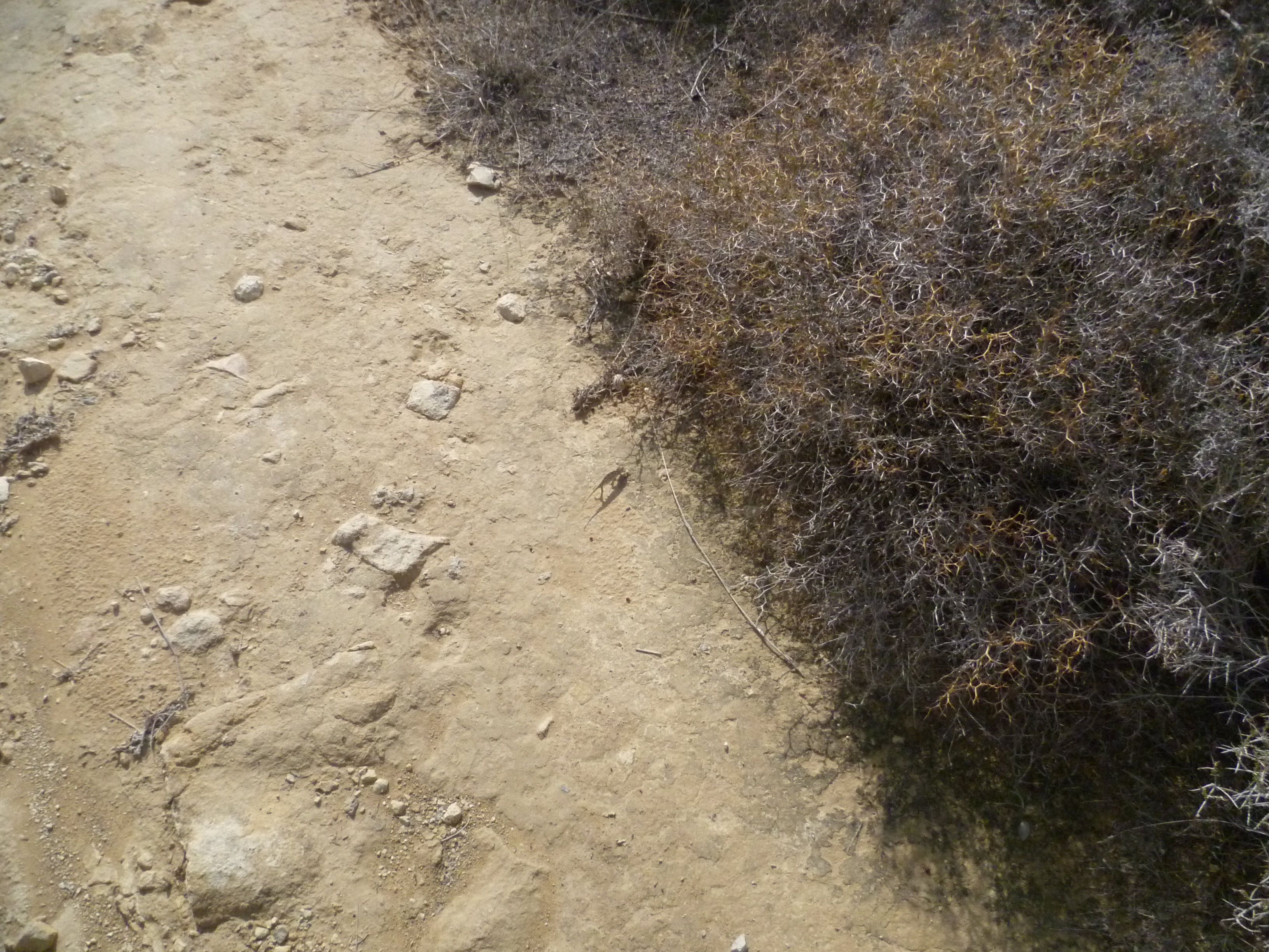
On closer inspection, it turned out to be this:
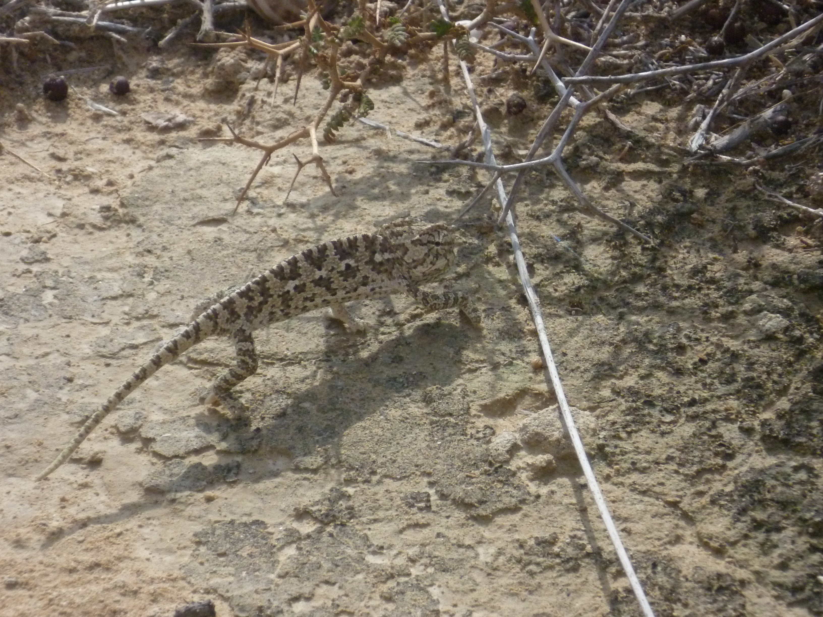
A small chameleon which subtly changed colour and blended in with the nearby shrubs as soon as it realised that we were watching it!
After approximately 2 hours the track, which by now is high up above the gorge, turns left out of the gorge itself and levels out above a different valley. There is a small pine tree offering a little shade on the bend out of the gorge – a good place to grab some water!
There is now some fairly straightforward contour walking, first along the valley side, then through a vineyard and olive grove.
At 2 hours 20 minutes the track joins an earth road. Turn right here and pass through a small clump of pine trees, swiftly arriving at a junction with a small gravel road. Turn left here and follow the road uphill heading towards an electricity pylon that you can see above you in the distance.

This section of the walk is deceptively difficult. Whilst it looks like a (comparatively) simple stroll uphill, there is no shade at all, the gravel road soon deteriorates into a rough earth track and the brow of the hill (for which you are headed) is further away than at first seems apparent. In fact, from the moment you step onto the gravel road you can expect to walk for a good 25 minutes before you experience the blessed relief of a step downhill. This is no joke on a hot day!
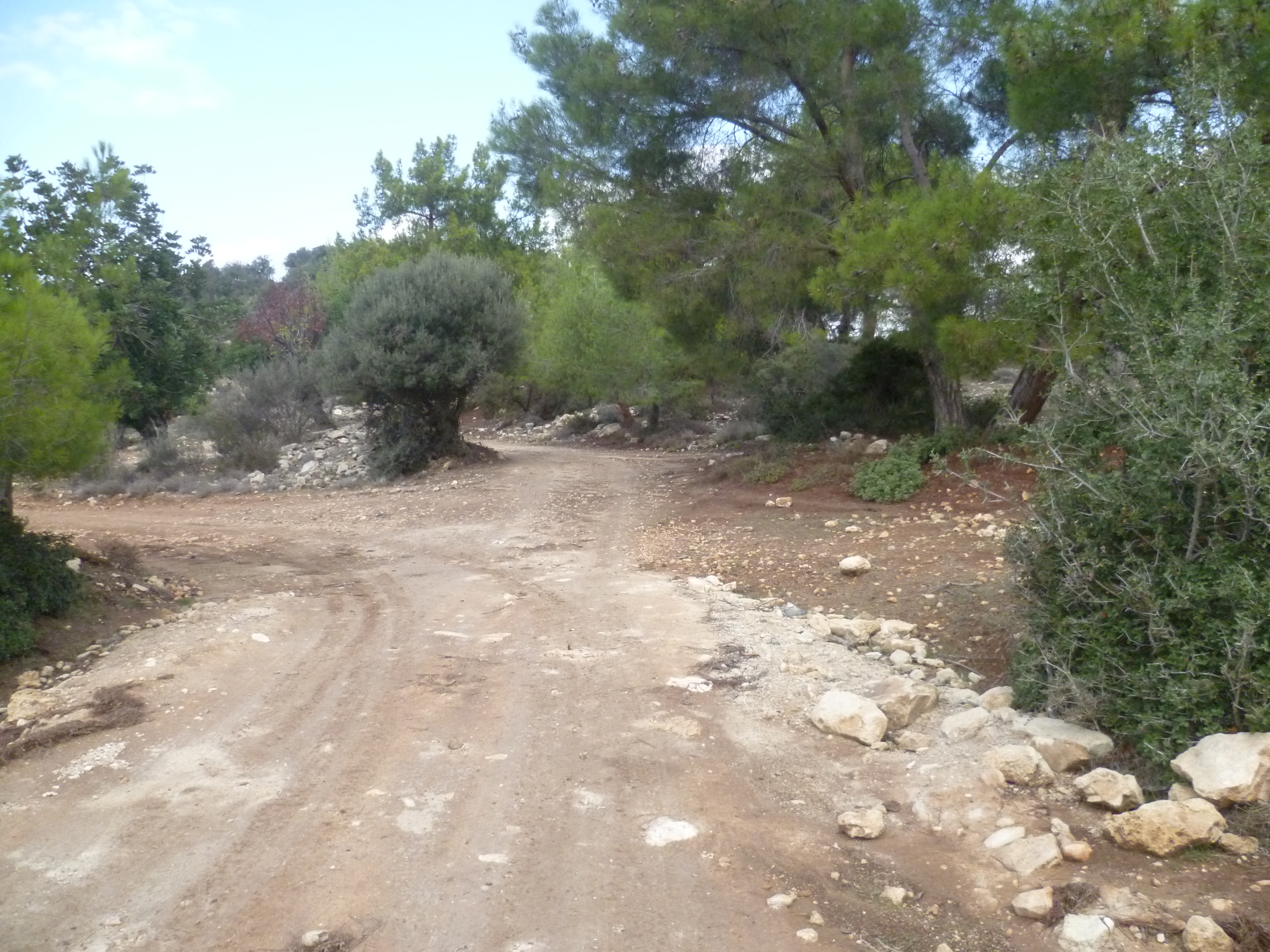
After passing the electricity pylon on your left, there are a couple of junctions as you come close to the brow of the hill and you need to make sure you take the correct turnings. In both cases, you are effectively looking to stay on the main track. At around 2 hours 40 minutes veer right (north-east) uphill at a fork and follow the track as it bends left (northwards) ignoring a fork to the right. At 2 hours 43 minutes go straight ahead (not left) – the latter is less obvious but, in the picture below, walk to the right of the olive tree and do not turn left in front of it.
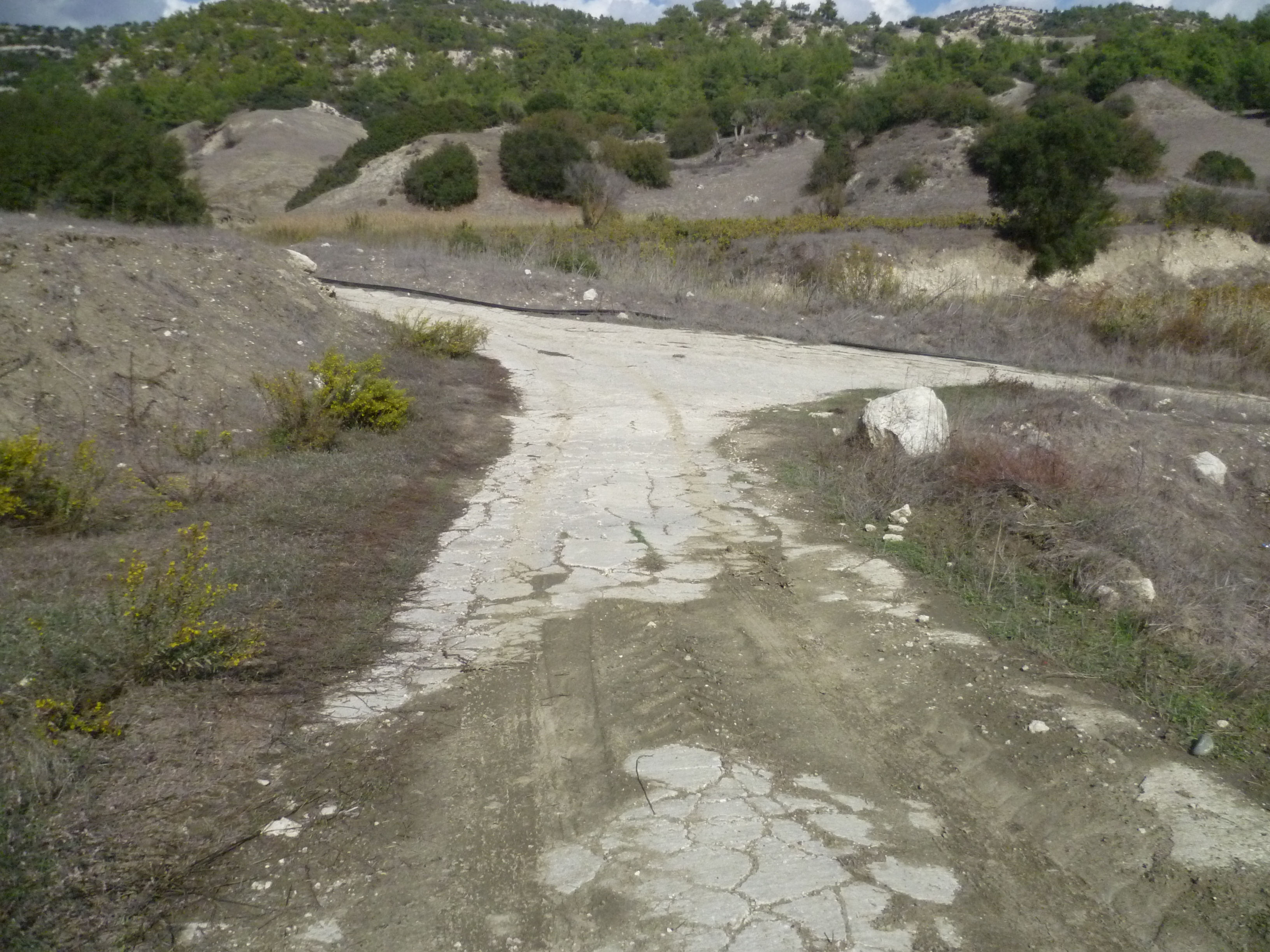
You will reach the brow of the hill at approximately 2 hours 44 minutes. There is nothing to specifically distinguish this high point – a mere bump in the track and a sense of briefly levelling off before beginning to head downhill [GPS – 34.727912N, 32.679575E]. This is what it looks like;

In fact, you are now heading back down into the Arkhimandrita valley and in a few metres, if you look down to your left across the valley you will see Kato Arkhimandrita far below. It may seem a long way off but, following the earth track downhill and keeping the wind turbines in sight ahead…

…you should arrive back at the four-way crossroads and the ford at around 3 hours.
Re-trace your steps back through Kato Arkhimandrita and along the road beyond. There are a couple of benches under the shade of some trees next to the church – a good spot to cool down for a few minutes. [Note – the short walk ends here]
At 3 hours 15 minutes you will notice an earth track heading down on the right hand side of the road.

Take this track and follow it as it initially runs parallel but below the asphalt road, climbing and then veering off and away to the right. It dips down into fields and at 3 hours 25 minutes you can see the remains of an old stone mill away to your right.
The track now bends round to the left and, in 100 metres, converges on a concrete road.
Turn left onto this concrete road and begin the steep climb uphill towards Pano Arkhimandrita. It’s hard work, particularly on a sunny day (and that’s pretty much every day in Cyprus!) but after about 10-15 minutes you will pass a fenced smallholding on your left.
There is a further climb following the same concrete road back and at 3 hours 45 minutes you will find yourself back at the bottom of Pano Arkhimandrita, next to the village church of Agios Theodosios. Turn right here and it’s a brief and simple walk up through the village back to your starting point where you should arrive at about 3 hours 50 minutes.
Bird List
Birds seen on this walk: Barn Swallow, Blackcap, Black Redstart, Chaffinch, Chukar, Coal Tit, Collared Dove, Common Buzzard, Cyprus Wheatear, European Bee-eater, Feral Pigeon, Goldfinch, Great Tit, Greenfinch, Hooded Crow, Hoopoe, House Martin, House Sparrow, Jackdaw, Jay, Kestrel, Linnet, Long Legged Buzzard, Magpie, Masked Shrike, Orphean Warbler, Pied Wheatear, Raven, Robin, Roller, Sardinian Warbler, Serin, Spotted Flycatcher, Stonechat, Whitethroat, Willow Warbler, Wood Pigeon.
