Moutti tis Choras-Selladi Karamanli-Kannavia-Agia Eirini-EOKA Hideouts-Moutti tis Choras
Date Last Walked: October 2019
Distance: 11 miles (17.5kms)
Duration: Approximately 4 hours 40 minutes
Alternative Versions: At the 1 hour 5 minutes point below – adds approximately 1.25 miles (30 minutes); at the 4 hours 5 minutes point – adds approximately 1 mile (20 minutes)
Difficulty: Moderate to hard. There are some steep climbs and a couple of quite sharp descents on loose gravel footpaths. This walk connects three nature trails, so is generally well marked. The route is mostly along footpaths with very little road walking. Plenty of shade.
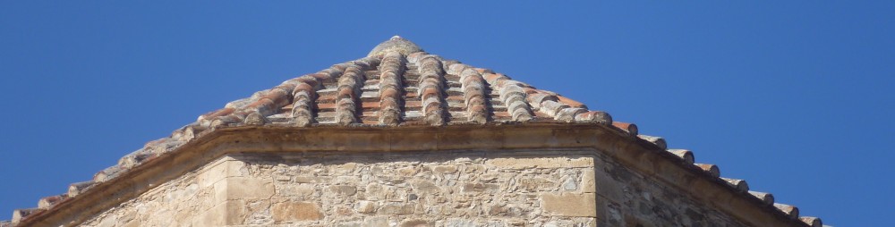
The start of this walk is at a four-way junction, Moutti tis Choras, on the F929 about one kilometre east of the village of Spilia. [GPS: 34.967740N, 32.962037E] There is a large trailboard here and some wooden signs:

Take the foot-path along the signed nature trail to Selladi Karamanli 3.8km.

The foot-path takes you around the hillside, first descending then climbing back up towards the ridge. You are walking on the European Long Distance Path E4 through pine forest and there is plenty of shade.
Look out for impressive rock formations, with spines of rocks reaching up through the trees and pointing skywards. There are also excellent views to the north across Morfou Bay as well as glimpses of the fire lookout station on Madhari Ridge in the distance.
After approximately 1 hour 5 minutes you will reach Selladi Karamanli. [GPS: 34.964847N, 32.988145E] Here, you have a choice to make:
For the shorter walk you will need to turn left down the tarmac road in the direction of Saranti and Lagoudera.
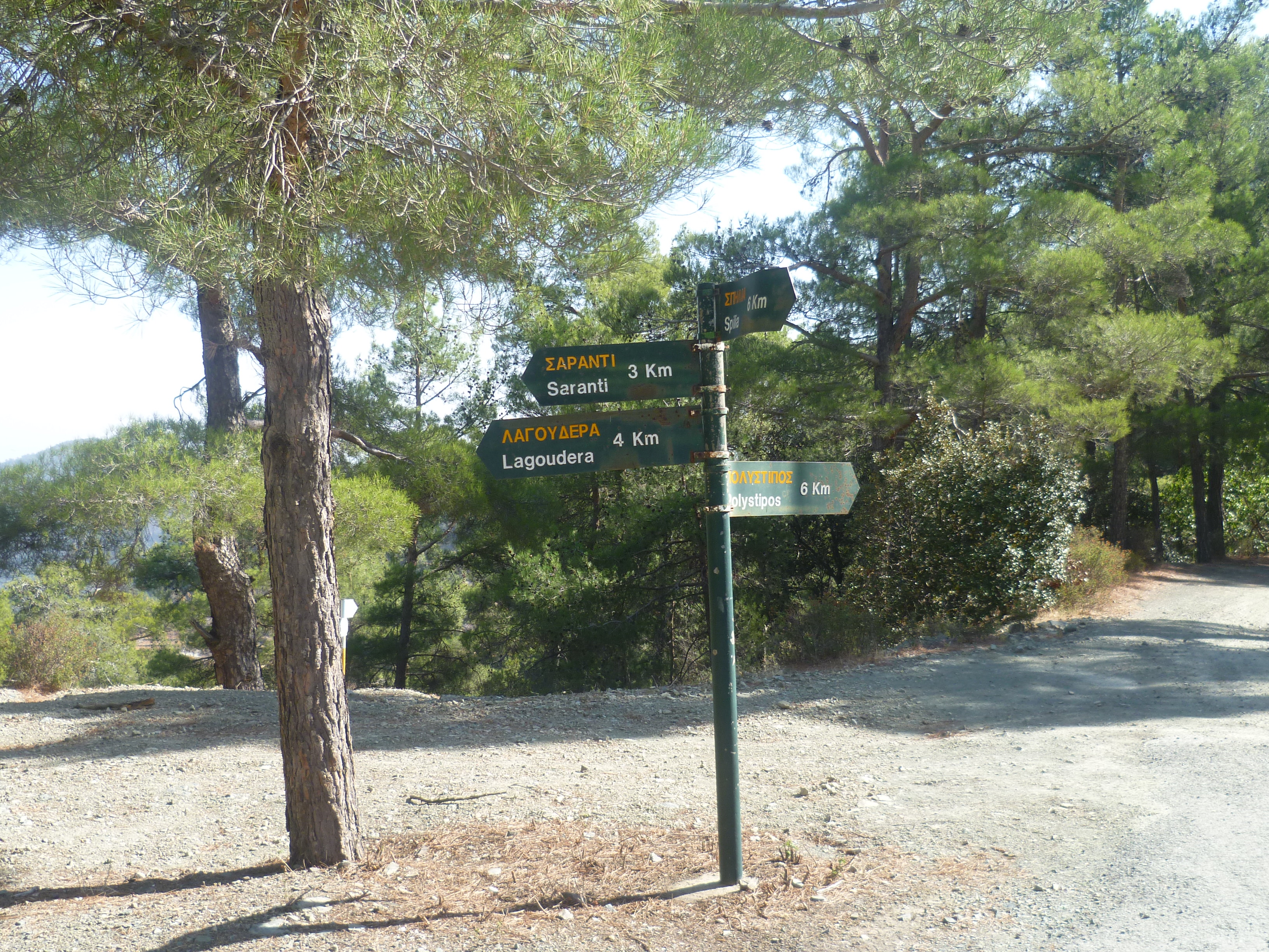
After a few hundred metres you will see a foot-path which leaves the asphalt road to the left (1 hour 10 minutes). There is a signboard here pointing to Kannavia. [GPS: 34.968937N, 32.989447E] You should head down the valley in the direction indicated in the photo below:

[For the alternative, longer walk you will need to leave Selladi Karamanli on the signed nature trail to ‘Kannavia 4.8km’.

This trail descends steeply on loose gravel before evening out into high-level contour walking around the valley. After about 15 minutes the village of Agia Eirini comes into view below and, after a further 6-8 minutes you will come to a viewpoint sign:
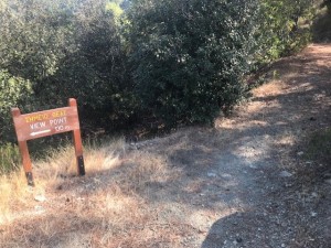
This is a short diversion from the trail but one well worth making for the great views across the valley, down to Kannavia and Agia Eirini and, on a clear day, across to the northern coast. There is a shelter here with benches. It’s a good place to rest and admire the scenery.
When you wish to continue just carry on along the signed trail and, some 35 minutes after leaving Selladi Karamanli you will arrive at the signboard indicating Kannavia which is mentioned above at the 1 hour 10 minute point. If you take this route add approximately 30 minutes to all of the timings below.]
Whether you choose the shorter route or the slightly longer alternative you will now follow the signed trail to Kannavia. The path descends, initially quite steeply and on loose gravel, so be careful. At first you will walk through open pine forest. As you descend further you will reach a wonderfully cool area of quite dense oak trees, eventually arriving at a wooden bridge across the valley bed (1 hour 55 minutes).

Cross the bridge and climb up a footpath between fruit trees to reach an earth road [GPS: 34.974974N, 32.976734E] where you will turn right towards the village of Kannavia.
The earth track becomes an asphalt road and you will walk into the village along 28th Oktovriou Street and then onto Andrea Patsalidi Street where there is a trailboard on your left just before a junction. (2 hours 10 minutes)
Turn sharp left on a hairpin turn immediately after the trailboard. Follow this road, which immediately turns right, to walk uphill and away from the main part of Kannavia below you. Follow this road ( Archbishop Makariou III Street) out of Kannavia to head towards Agia Eirini.
After 15 minutes walking along this very quiet rural road as it climbs through hairpin bends, you will arrive in Agia Eirini. (2 hours 25 minutes). Follow the main street uphill through the village aiming for the church of Timios Stavros (Holy Cross). As the road bends left look for a narrow alleyway straight ahead of you and to the right of a green metal postal box.

Go up this alley which leads to some concrete steps, climb these to emerge higher up on the main village road, and just below the church. Turn right onto the road and then take the second left turn which is signposted to Timios Stavros. You will arrive at the church [GPS: 34.981886N, 32.968682E] at around 2 hours 30 minutes.
There are benches in the shade here, as well as some lovely views out across the valley, so it’s a good place for a rest.
Behind the church there is a wooden signboard pointing to the right up the hill. This is the start of the nature trail which leads to the ‘Limeria’, the EOKA hideouts used by the Cypriot resistance during 1954-59.

Follow this foot path as it zig-zags steeply up the hill to reach an earth road. (2 hours 35 minutes). Turn right and after a couple of minutes, just before a fork in the road, look for nature trail signboards which indicate a footpath leaving the road to the left. [GPS: 34.984310N, 32.968156E]

Continue to follow the nature trail as the path climbs steadily around the hillside. Enjoy the views back towards Agia Eirini and Kannavia and across the valleys. You will emerge onto an earth road at around 2 hours 55 minutes. Turn left here.
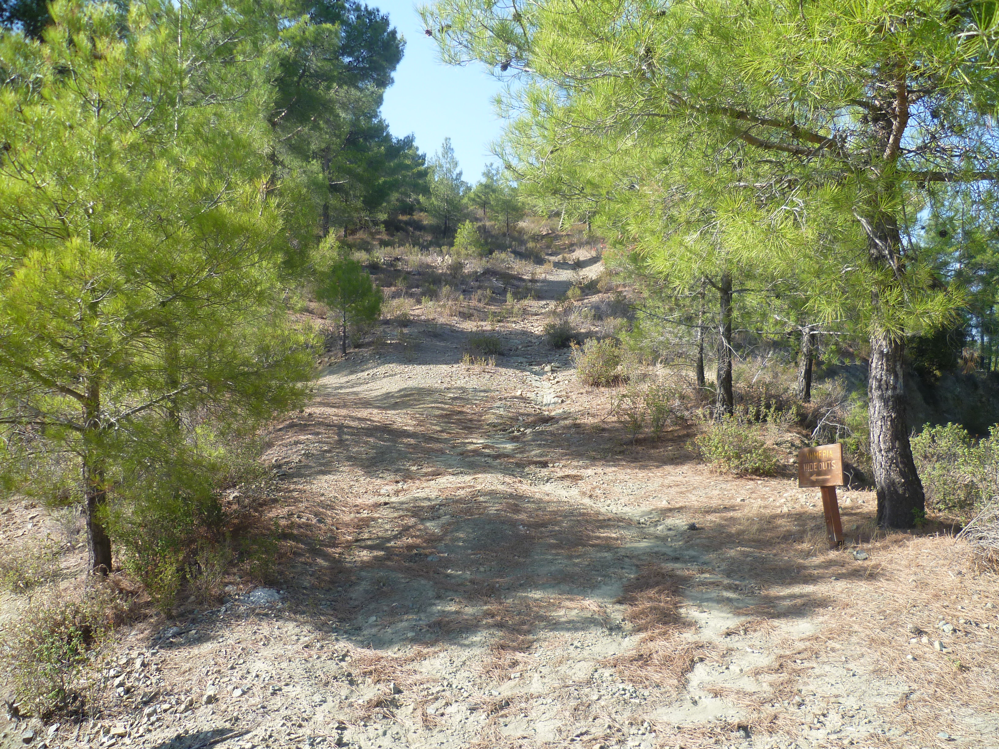
After 7-8 minutes on this earth road you will reach a junction. Straight ahead the earth road starts to head downhill. You should follow the road to the right here, continuing to climb around the mountainside. There is currently a sign to the EOKA hideouts showing this right turn.
From here it is a further 15 minutes or so steady walking uphill until you reach the Selladi Straorouthkias junction, [GPS: 34.981329N, 32.956163E] marked by a large white water tank and an electrical substation. (3 hours 20 minutes)
Take the uphill path to the right signposted to the hideouts:
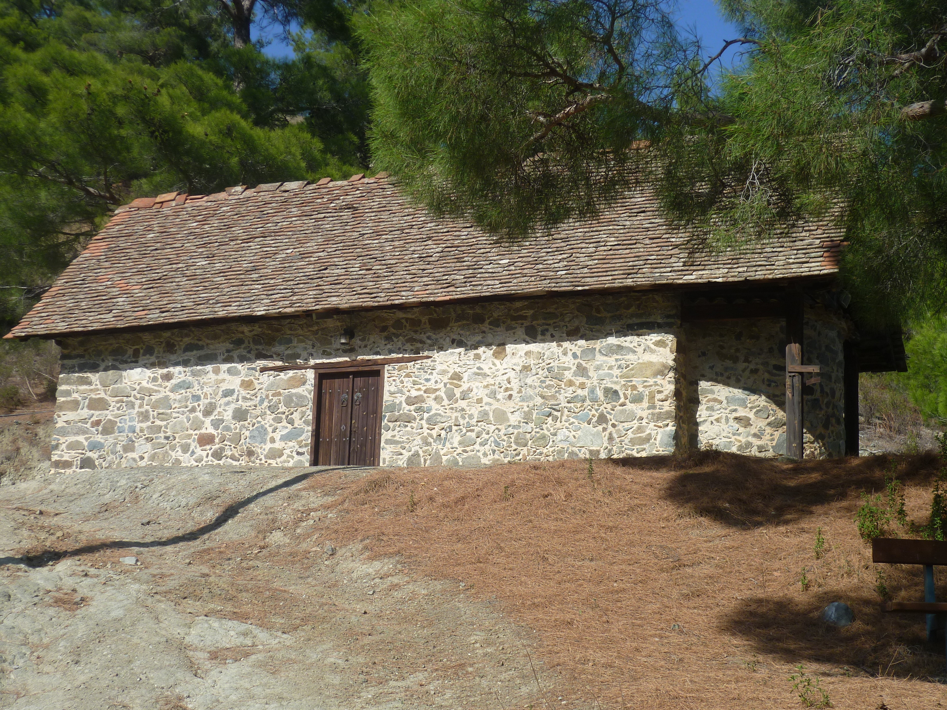
It is another 10 or 15 minutes fairly steady climbing until you reach the EOKA hideouts themselves. (3 hours 35 minutes) They are situated at the top of the hill and, not surprisingly, command extensive views in all directions over the Adelfoi Forest and surrounding villages. This is a really interesting place so allow enough time to have a good look around. The first fighting between the British and EOKA took place here. Even if you are not interested in the history, the views are fantastic.
On one visit here we decided to have a good look around the EOKA headquarters where a small cave is carved into the hillside. Just before we crawled into the cave a large snake shot out and across the path in front of us, closely pursued by an enormous rat. Our explorations were terminated fairly swiftly! On a more pleasing note, we’ve also seen hen harriers here in the past.

When you are ready to leave follow the path around the side of the hill past the Heavy Gun Position until you arrive at the signboard and car park. (3 hours 45 minutes) From here follow the earth road which skirts the side of the hill, overlooking the Adelfoi Forest, to return to the Selladi Straorouthkias junction. (4 hours 5 minutes)
You have a choice of route here.
To head back to your starting point at Moutti tis Choras, take the rough track which goes uphill to the right of the white water tank.

This track climbs quite steeply at times. There are a number of small signboards with arrows pointing the way, but it is fairly straightforward. Just stay on the track, ignoring a fork to the left which leads up to the antenna at the summit. After approximately 35 minutes you will arrive back at Moutti tis Choras. (4 hours 40 minutes excluding stops)
Alternatively, if you want to have a look around Spilia, take the (unmarked) track heading East-South East downhill to your right. This is the track with the telegraph poles on the right hand side, as indicated in the photo below.

This track winds around the side of the valley and downhill towards Spilia. Keep to the main track and it will bring you out at a signboard on the F929. (4 hours 45 minutes)

You can turn right to explore the village, then return to this point. From here it is a left turn and a short uphill climb along this quiet road back to Moutti tis Choras. (If you take this option add about 1 mile and twenty minutes, excluding exploration time, to the total)
Birds seen on this walk: Blackbird, Black Redstart, Blue Rock Thrush, Chaffinch, Chukar, Coal Tit, Hooded Crow, House Sparrow, Jay, Magpie, Northern Wheatear, Robin, Serin, Wood Pigeon.

Wow. So glad to find your site. It has been so difficult to find detailed maps and routes to the many lovely trails in Cyprus.
Last week ( in April 2018) we hiked from Agia Eirini to the Limeria. The climb up was pretty steep, but well worth the view at the top and of course also interesting to see the hide outs and learn some history.
Hey, glad you enjoyed it Oran…it’s one of my favourite walks on the website! I just love all of the walks in the Macheiras area – some of them are absolutely stunning.
Hi, do you have a route map of this walk, or the route marked on Google Maps?
Hi Mike…most of our walks now have GPS listings but, looking at your post, I see we haven’t rechecked this particular walk since November 2015. Eek, definitely not good enough! We are in Cyprus from next week and will try and sort this out. Which is all a rather long-winded way of saying “no”! Sorry!