Kampi tou Kalogyrou – Stavroulia Trail – Kampi tou Kalogyrou
Date last walked: March 2025
Distance: Approx 10½ miles (17 kms)
Duration: About 4 hours 10 minutes (not including stops)
Difficulty: Moderately easy walking at altitude along earth tracks and trails. Steady ascents and descents – one short stretch of fairly steep descent on loose gravel. Plenty of shade.
This walk combines the middle sections of the Trooditissa- Prodomos walk with the Zoumi and Stavroulia nature trails north-east of Prodromos.
GPX file available on request.
Your starting point is at the Kampi tou Kalogyrou picnic site on the E804 between Trooditissa monastery and Prodromos.
GPS Location 34.5539N 32.4955E.
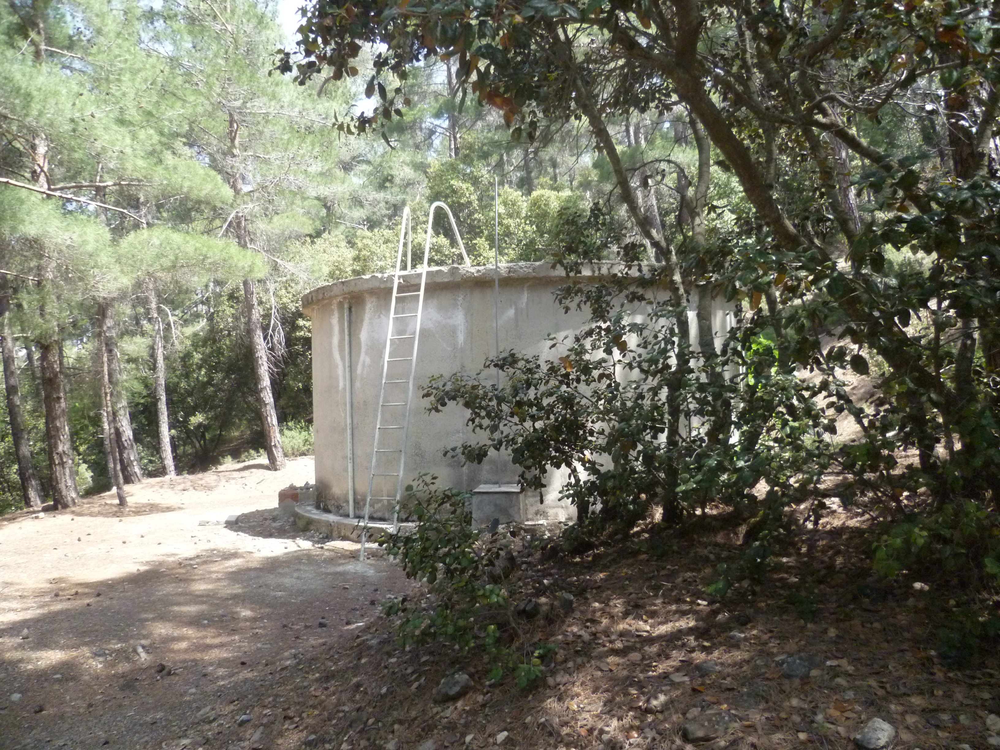
Leave the picnic site by walking east from the road on the E4 path as signposted by the side of the road.

You will walk up a track which skirts around the right-hand side of a large concrete water tank.
Follow the path steeply uphill for about 7-8 minutes to reach a T-junction with a wide earth track. Turn left here, leaving the E4 route (which heads off downhill to your right).
After another minute or two you pass a signpost pointing right to Asprokremnos. Keep following the trail straight ahead as indicated to ‘Prodromos Dam 4km’.
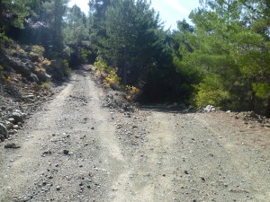
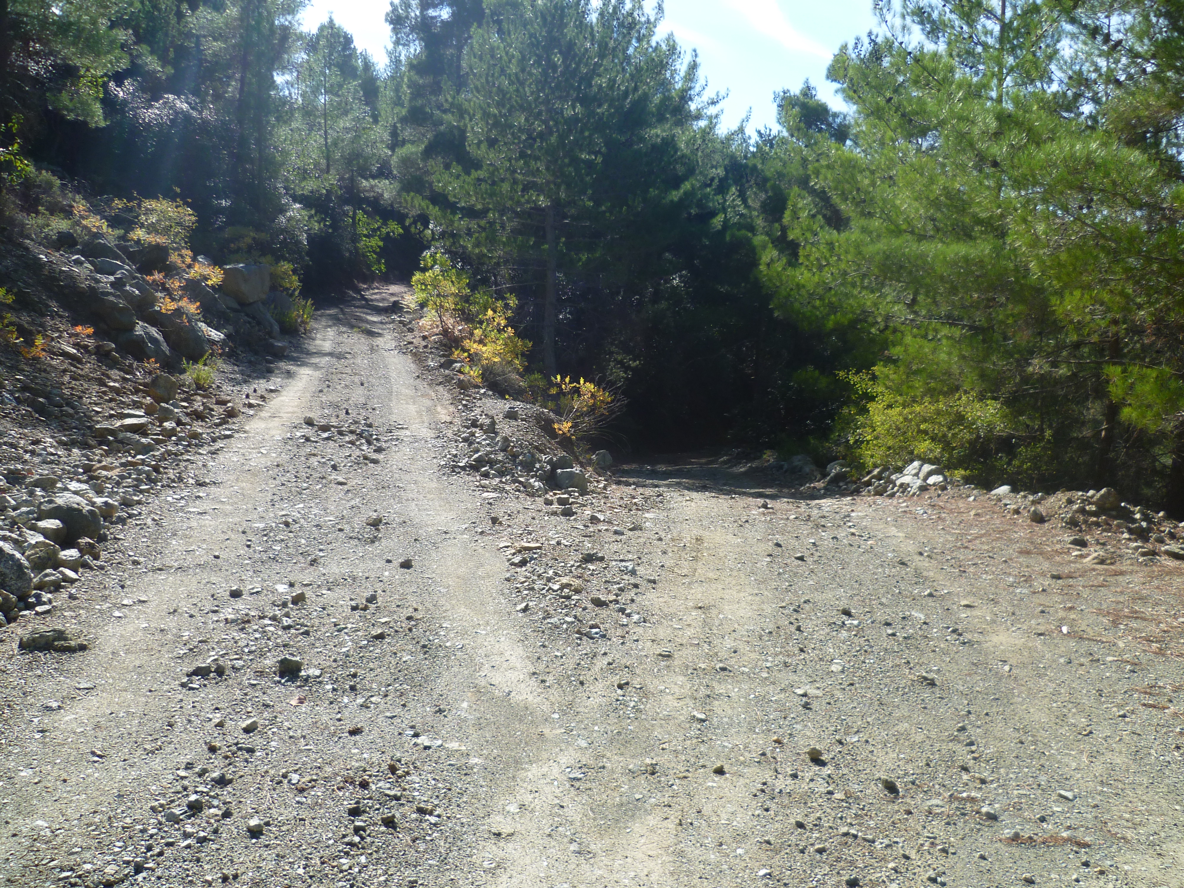
At around 15 minutes you will come to a fork in the track.
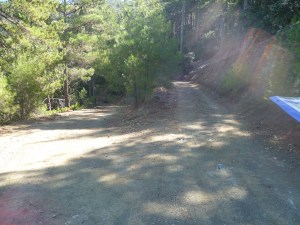
To continue to Prodromos reservoir, take the right hand fork (in the photo above) heading uphill.
Keep along this track as it continues to climb steadily through scented pine forest towards the reservoir at 1400m above sea level. You will reach a junction with a signboard for the picnic site at 1 hour 10 minutes.
It’s just a few minutes walk down this track to the reservoir and picnic site if you want to make a short detour.
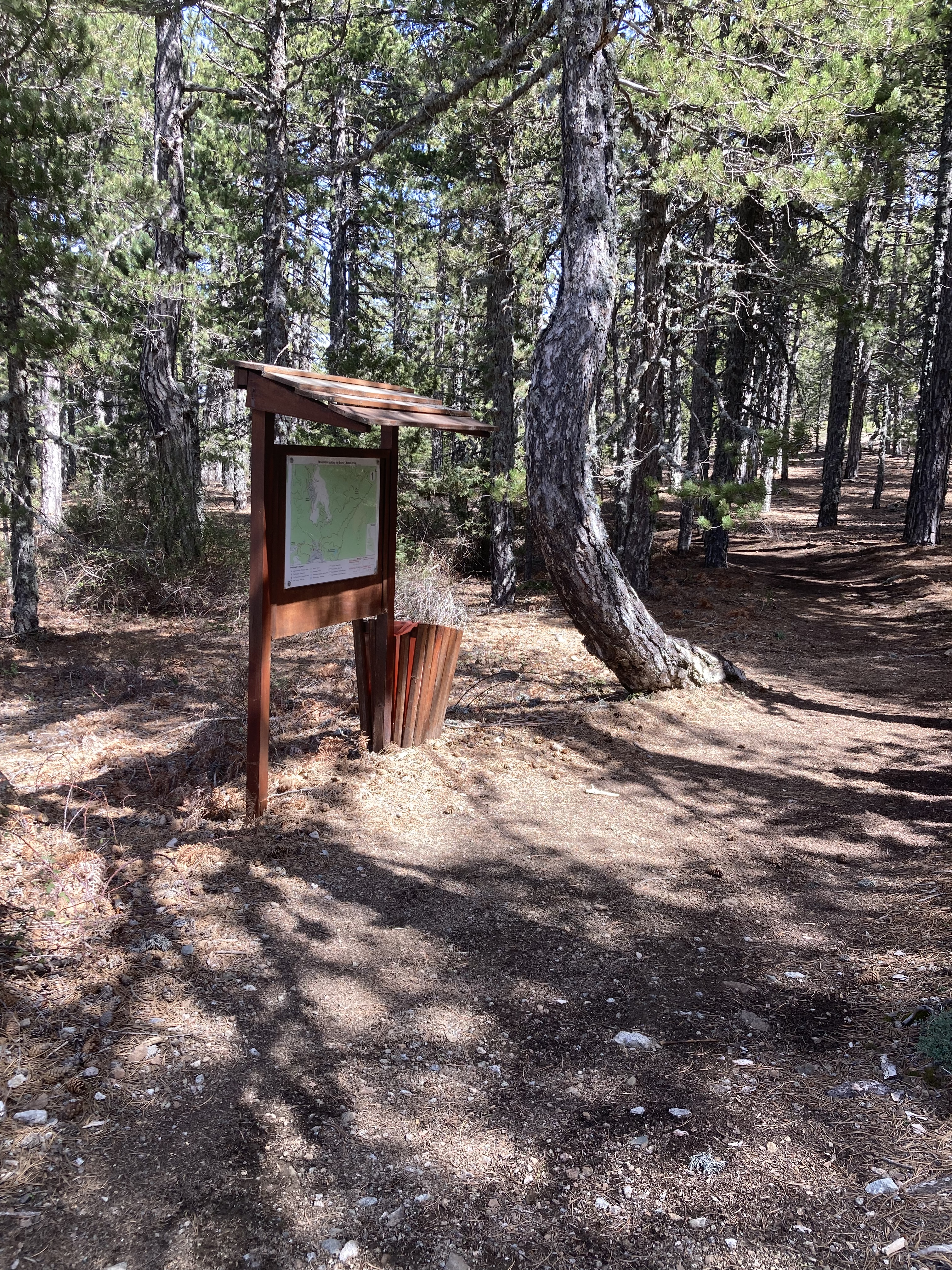
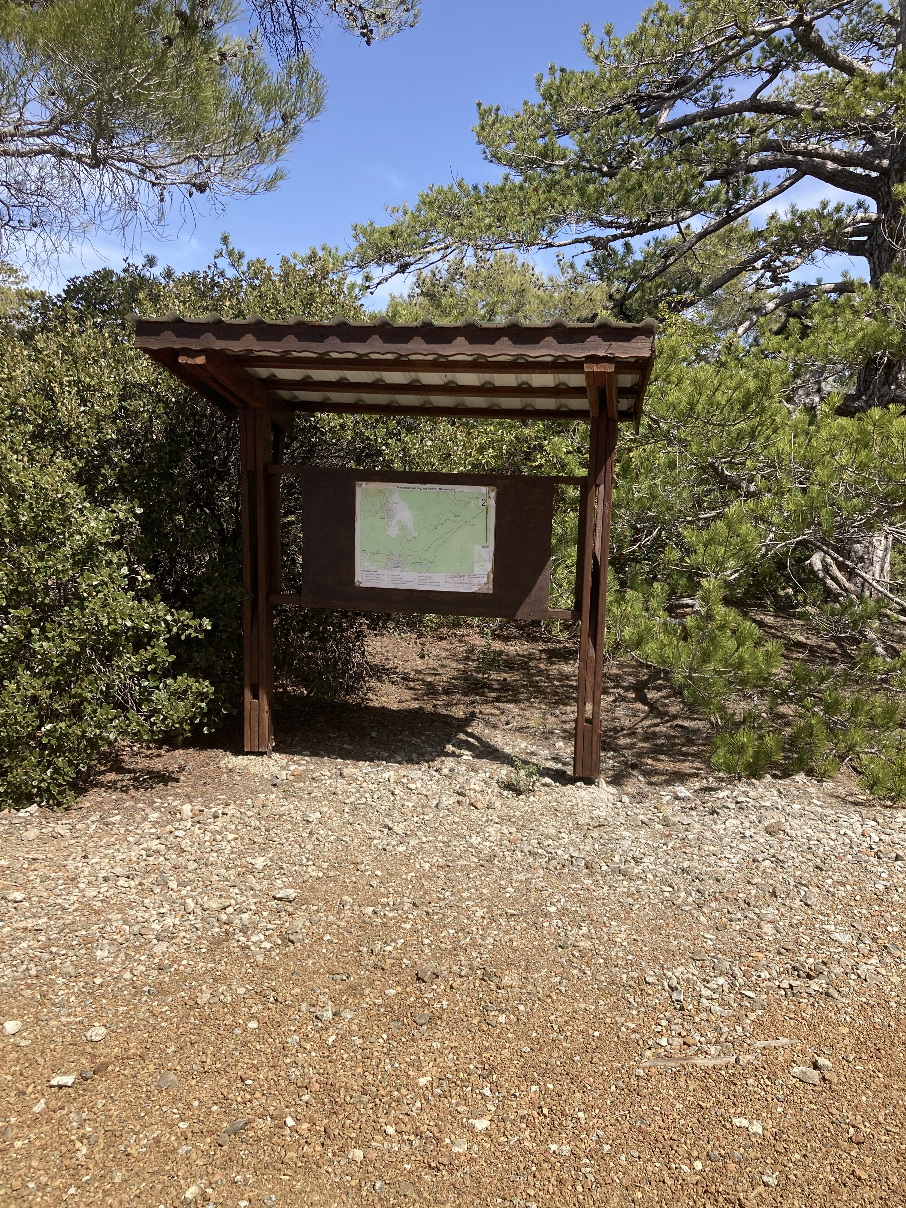
From the signboard, take the higher track to reach the main road (F952) in a couple of minutes. Cross the road to the information board for the nature trails. 1 hour 13 minutes.
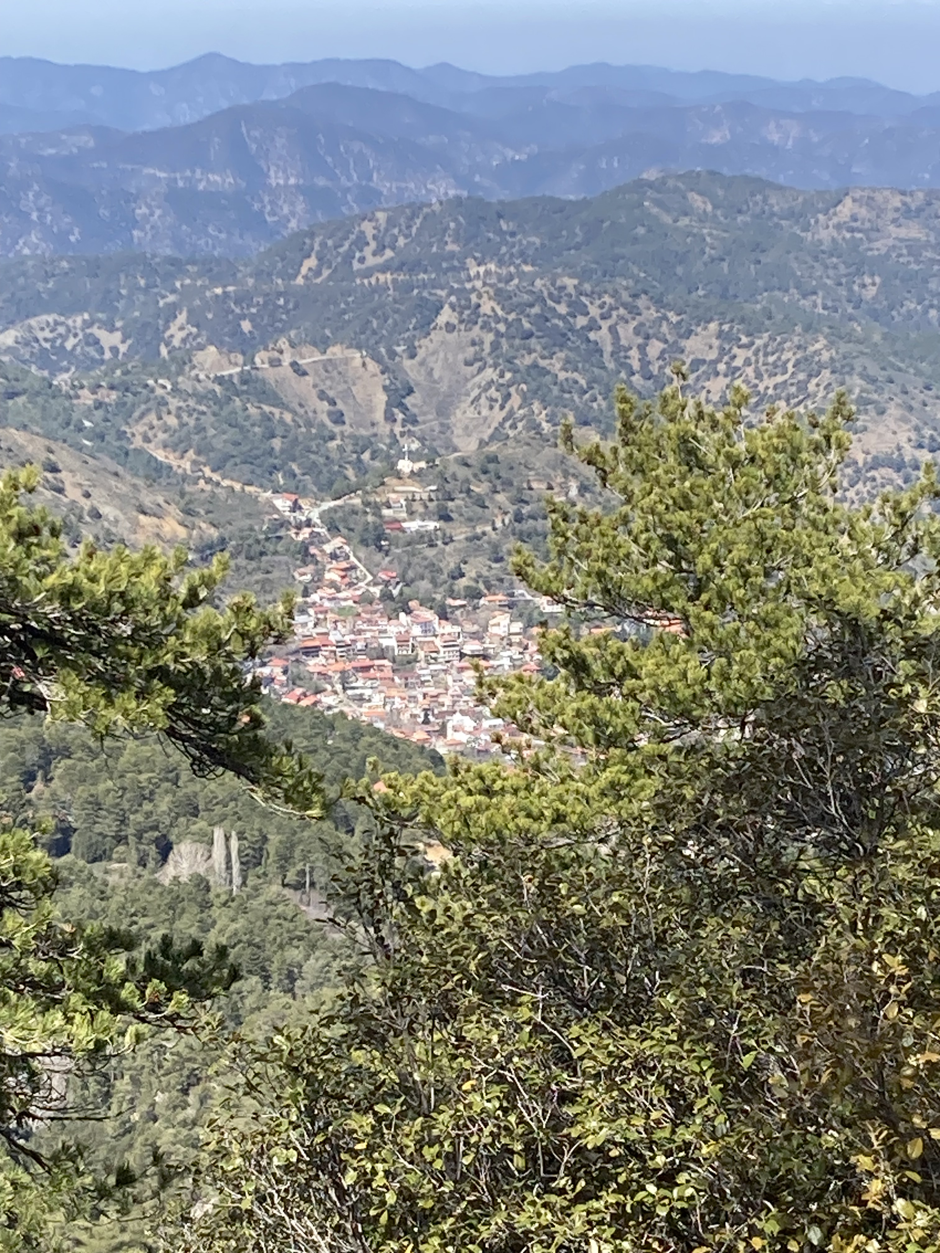
Follow the stony path along the hillside soon reaching a railing along the left hand side with lovely views towards the village of Pedoulas. Apparently the large cross and small white building that you can see is a Balkan War memorial, although we haven’t yet checked this out.
You will pass several benches along this path, all offering great views and lovely picnic spots.
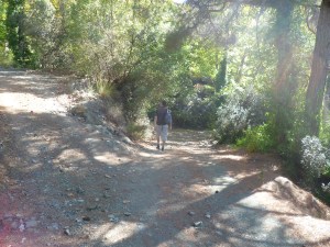
At around 1 hour 40 minutes your path starts to descend and the views to Morfou Bay open up ahead of you. You will soon pass a path to your right leading up to a bench and viewpoint. Continue descending on your path, which becomes quite steep and with a loose surface – take care!
After 10-12 minutes arrive at an information board. Take a hard left (almost a U-turn) here to follow the path as through the pines.
15 minutes later (2 hours 15 minutes) cross a wooden bridge.
About 12 minutes after the bridge, you will arrive at a junction with an old green signpost to Damasherani and back to Stavroulia.
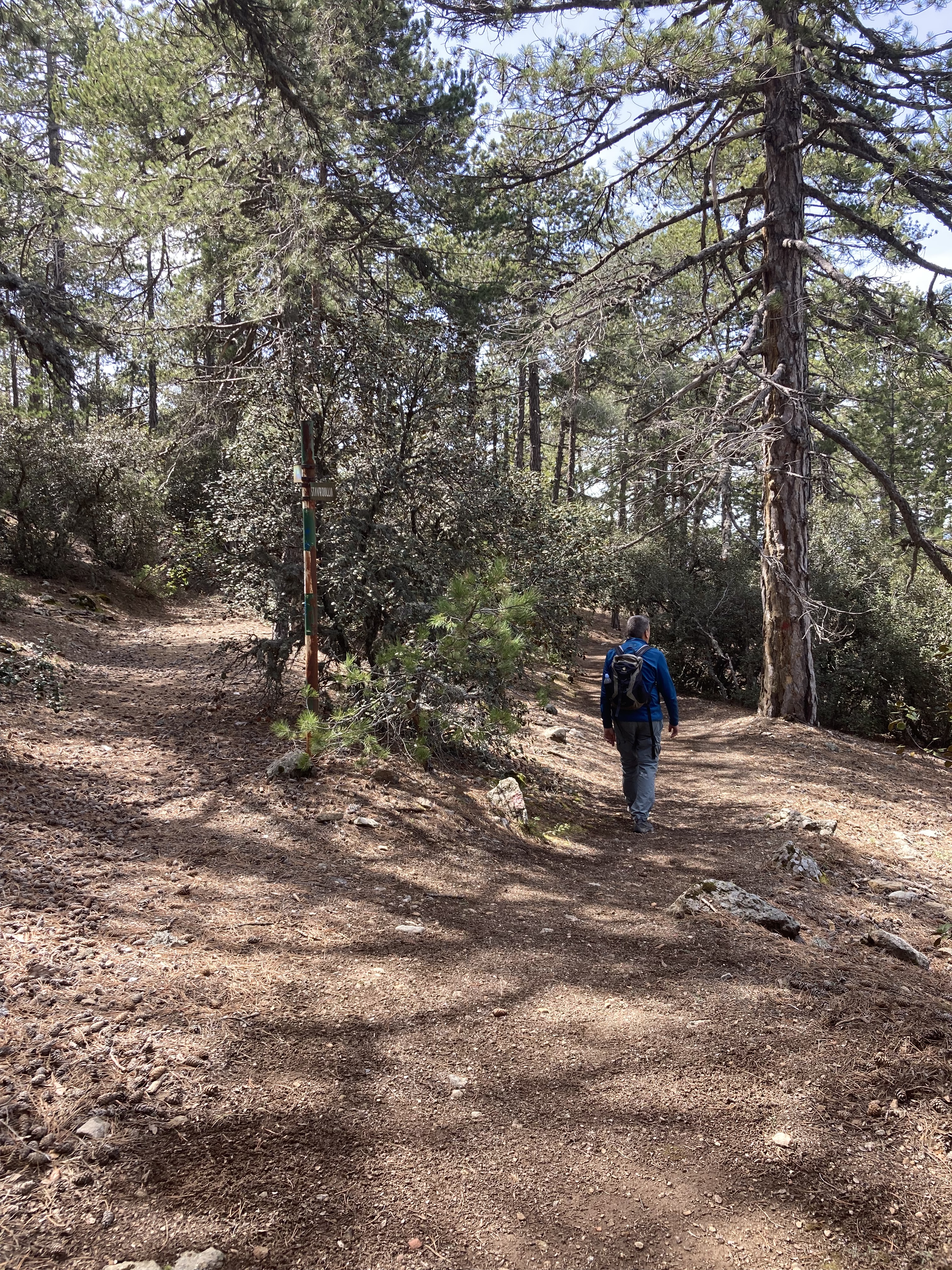
Keep right as the path divides and a couple of minutes later you will join a dirt road where a green footpath indicator sign points left.
Follow this track left and at around 2 hours 40 minutes you will see a path leading downhill to your right. Follow this path to reach another wooden bridge a minute later.
Cross the bridge and continue along the path which will pass some buildings on your right and a children’s playground on your left before leading you to an information board next to the main road (F828). Turn left onto the road and follow it uphill to arrive at the roundabout in Prodromos (2 hours 55 minutes).
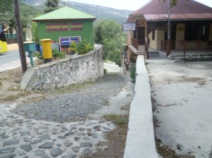
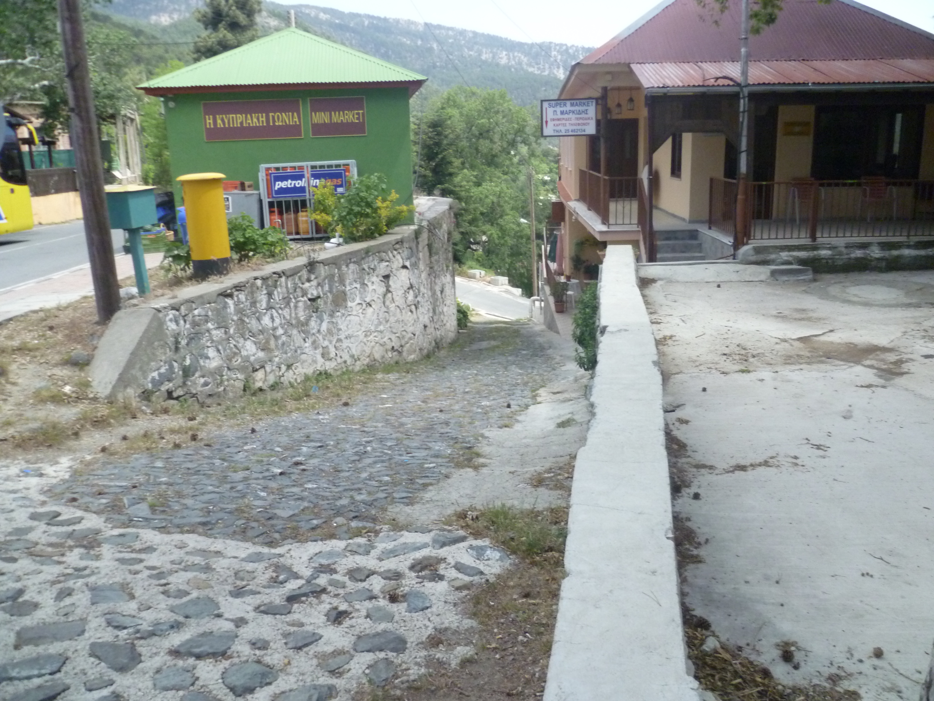
From the roundabout there is a narrow cobbled street leading downhill behind the mini market with a yellow pillar box on the left hand side.
Take this street to swiftly reach an asphalt road at the bottom, Cross this road and carry straight on, passing a house with green shutters onon your right. This is now a concrete road heading steeply downhill.
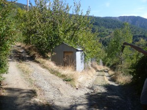
Follow this road as it curves around and leaves the village, passing water tanks with goldfish swimming in them and through verdant vineyards and orchards. Depending on the time of year when you walk this route the path is overhung with cherries, apples, almonds, grapes and much more! Ignore all of the tracks going off to the right or left. Most of them are very obviously not the main track so you shouldn’t lose your way here. After 2 minutes you will reach a fork in the road with a small hut directly in front of you. (3 hours 20 minutes)
Take the path to the left. After approximately six or seven minutes (3 hours 27 minutes) ignore a left turn next to a deep fissure and continue ahead on the downhill path to the right.
And after another five or six minutes, go left uphill at the next fork in the path. (3 hours 33 minutes)
Continue along this path, ignoring all side turnings to left and right, to climb back up to the Kambi tou Kalygyrou camp site. (4 hours 10 minutes). This is comparatively easy contour walking with great views across the island to your right.
Birds seen on this walk: Blackbird, Chaffinch, Chiff Chaff, Chukar, Coal Tit, Cyprus Wheatear, Goldfinch, Great Tit, Grey Heron, Grey Wagtail, Hooded Crow, House Sparrow, Jackdaw, Jay, Magpie, Pied Wagtail, Pied Wheatear, Robin, Serin, Swift, Short-toed Treecreeper, Wheatear, Willow Warbler, Wood Pigeon
NB: Moufflon often seen on this walk!
