Prastio to Moutti tis Kyparissias Circular Walk
Date Last Walked: December 2023
Distance: 6.5 miles (10 kms)
Duration: Approximately 2 hours 35 minutes (excluding stops)
Difficulty: Intermediate. Some moderately stiff walking, occasionally without cover; 200 metre ascent and descent. There are occasional short bursts of steep inclines and descents, often on loose rocks or scree. Stout walking shoes are a must!
GPX file available on request
This walk is an alternative to the Germasogeia Dam-Kyparissia route which is included elsewhere within this blog under the ‘Limassol Walks’ heading. It too takes you to the Kyparissia summit but does so from the other side of the hill and from a slightly higher starting point. It may therefore appeal as an easier option to the summit or simply as an alternative circular route if you’ve already tried the other one!
To arrive at the start point for the walk you will need to drive down the F144, signposted off the E109 road some 1.6km south of Kellaki, towards Prastio. Follow the road for about 800m until, on a right-hand bend, you come to a clear forest track straight ahead. It’s marked by a green signpost indicating ‘Foinikaria 15km’ and a larger brown signpost to ‘Kyparissia Trail 2.5 km’. You can park up here.

The GPS co-ordinates for this starting point are: 34.48237N, 33.08348E.
Follow the forestry road as it heads southwards and gradually upwards, then downwards to the left, ignoring all tracks off to either left or right. This early part of the walk is particularly good for bird watching.
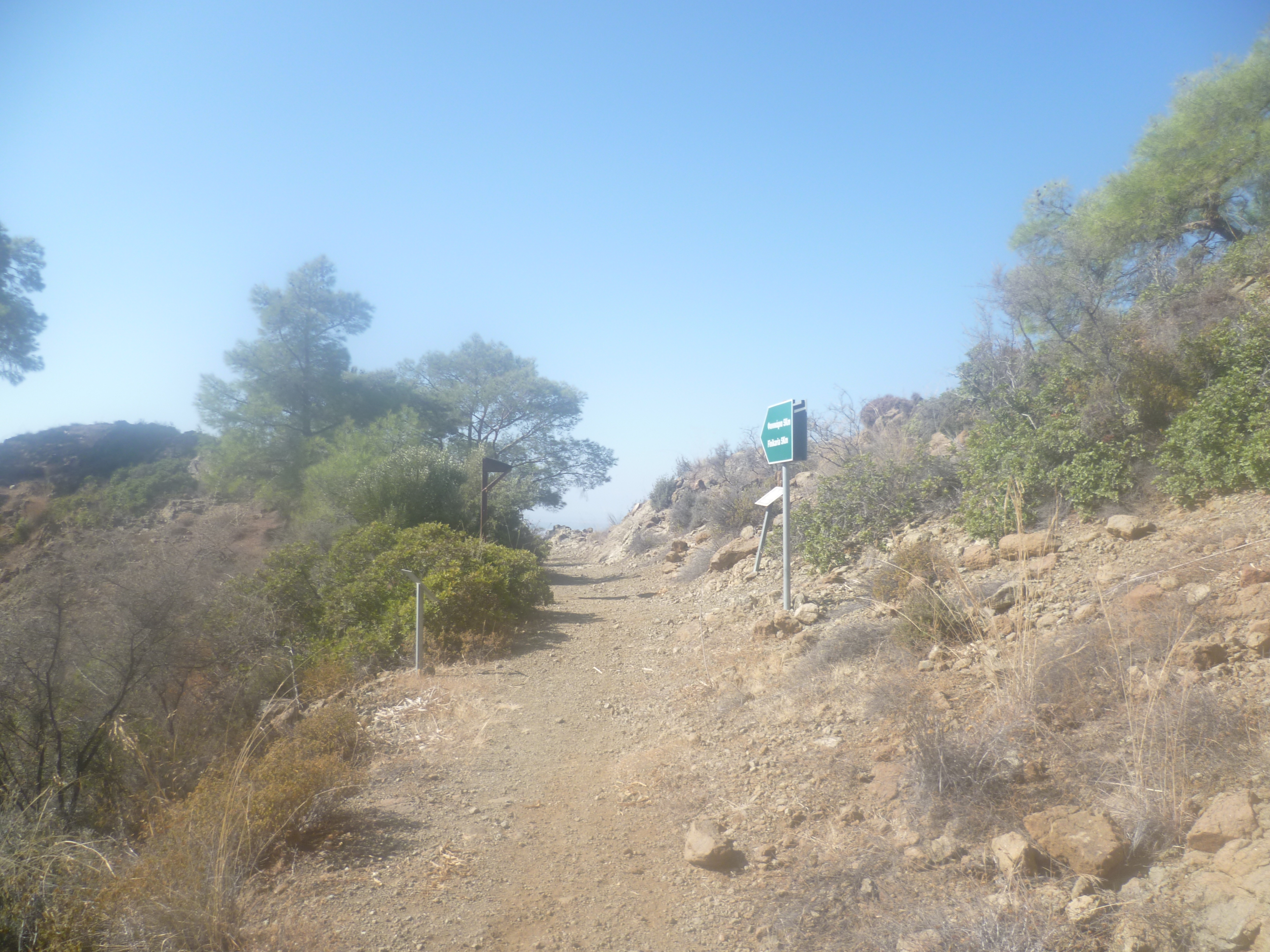
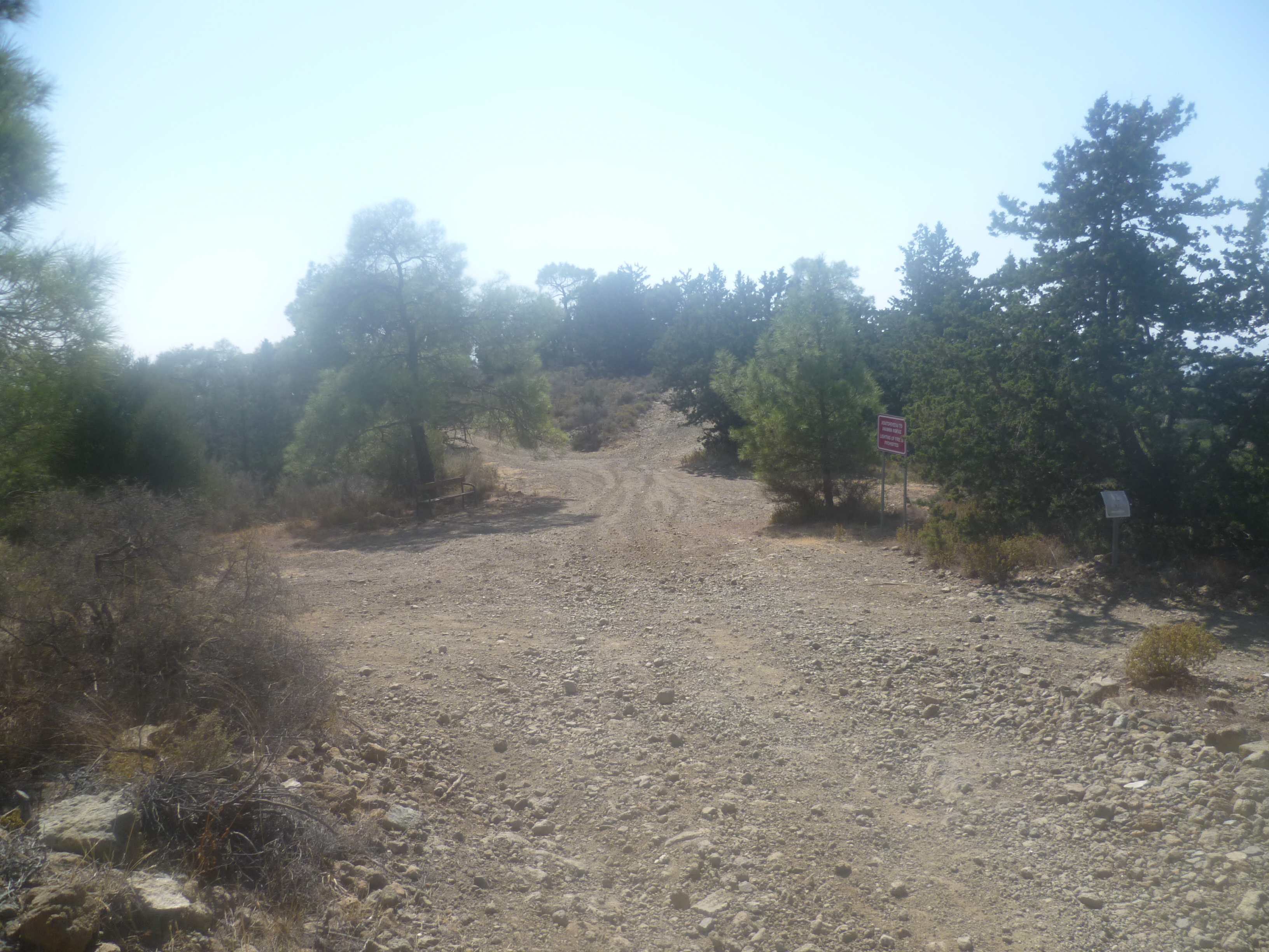
After approximately 8 minutes take a left-hand fork downhill at a junction and at 12 minutes you will pass a small building below and to your left and, shortly after, will come to a major junction of forestry tracks (16 minutes).
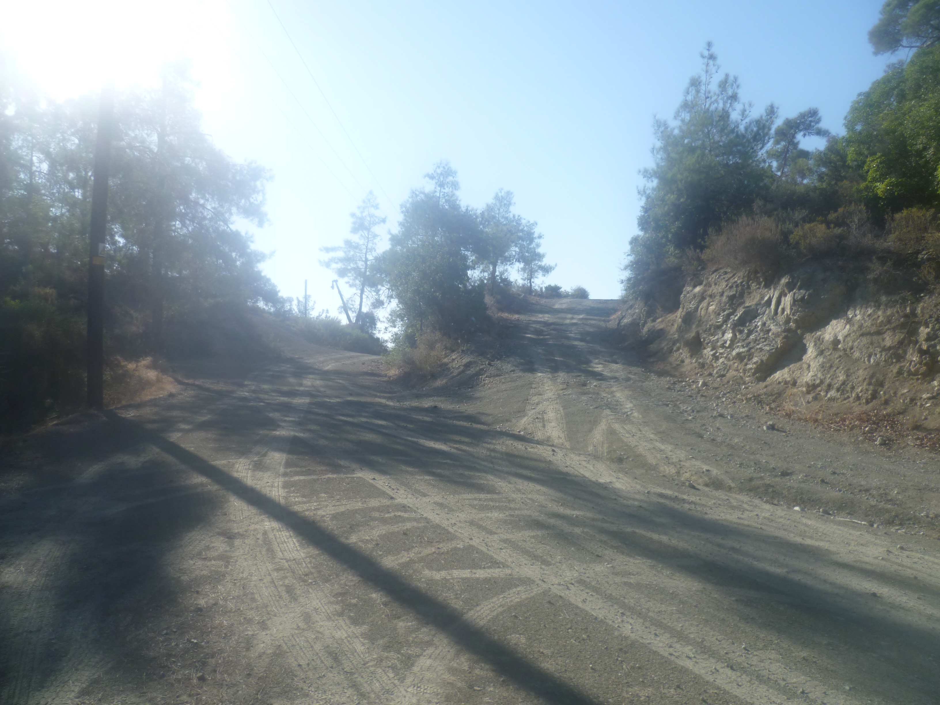
You should take the right-hand fork in the picture above which is marked by a green Kyparissia Nature Trail sign. You will find yourself almost immediately climbing fairly steeply on a rough track with a sheer drop falling away to your left. There are particularly good views across Limassol and the southern coast, growing increasingly impressive as the track ascends.
After 30 minutes you will arrive at a bench and an information signboard – this is actually the official start of the Kyparissia Trail. [GPS: 34.47421N, 33.07932E]
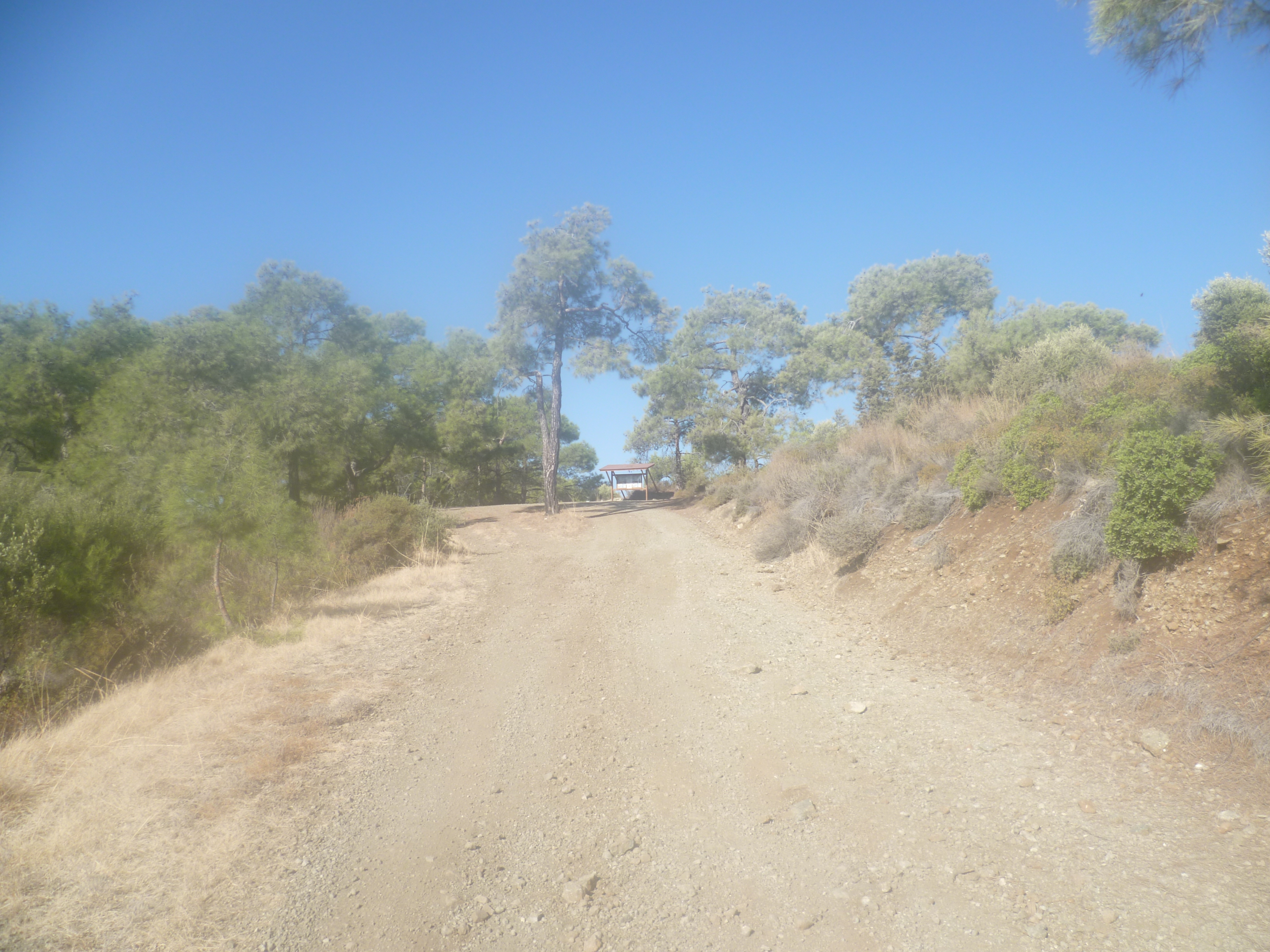
Turn left at the signboard and follow the track uphill as it veers sharply to the left. There is a short period of moderate uphill walking but the track then begins to level out and after 45 minutes you will arrive at a large four-way junction with a bench.

Ignore the obvious choice of track to the right which indicates the uphill route to the ‘Kyparissia Peak’ – you will be arriving there by a different route! Instead, take the track almost directly ahead which actually heads downhill. This is currently marked out by a green hiking arrow (per the photo below) as well as a green “1KM” sign to indicate the way. [GPS: 34.47054N, 33.07684E]
Ignore a right turning uphill after 3-4 minutes , instead following a hiking sign directing you straight ahead. The track gradually becomes a path and descends steadily. It should be easy enough to follow the route but a number of occasional tree identification signs will confirm to you that you haven’t gone wrong. As you descend look up and across the valley to your right to see, atop the opposite peak, the hexagonal wooden shelter which marks the summit to which you are heading.
The track zigzags downwards (watch your footing – plenty of loose stones!) and at 1 hour 5 minutes you will cross a stream bed (usually dry but occasionally with a small flow in springtime) on a wooden bridge.

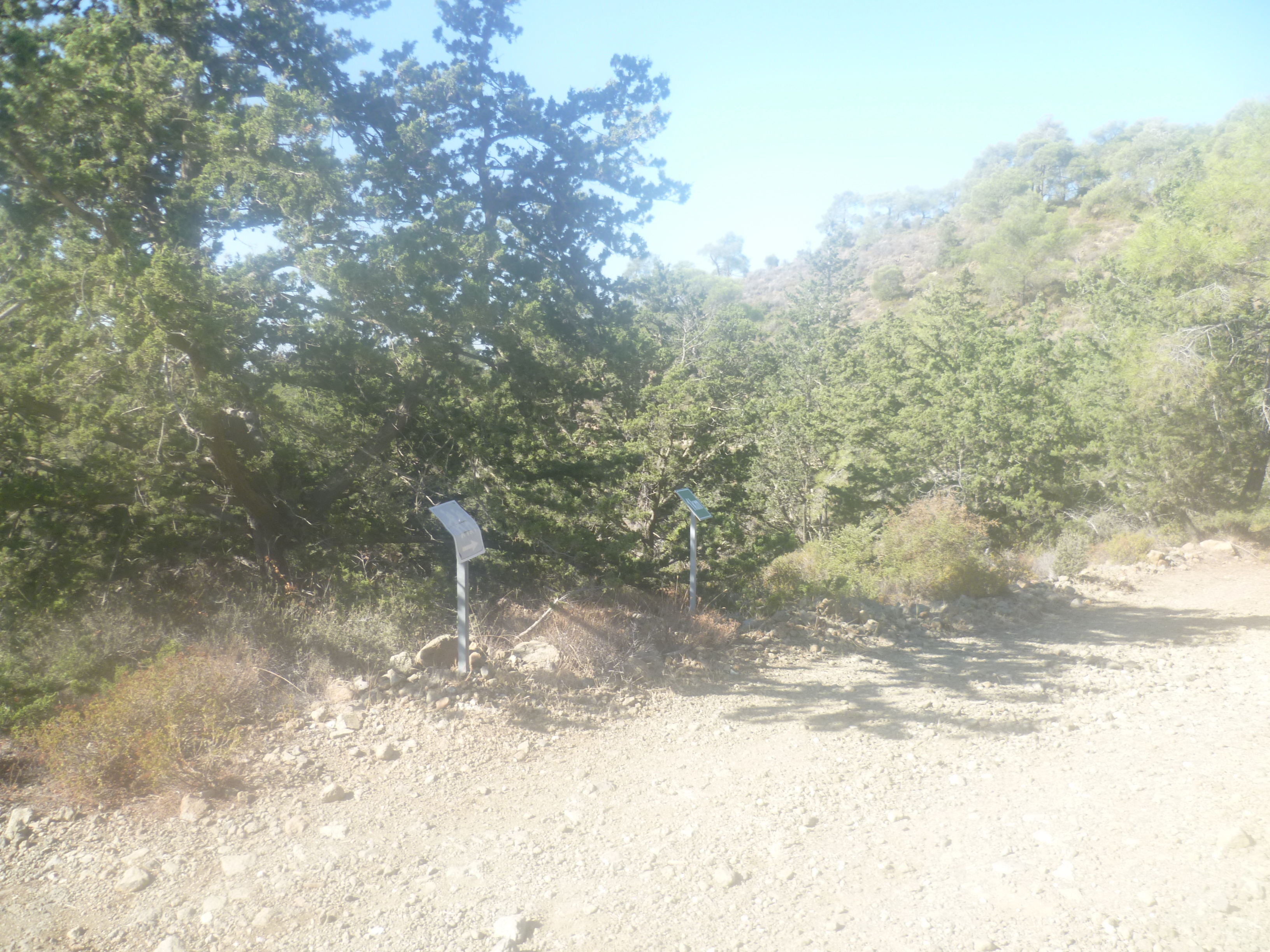
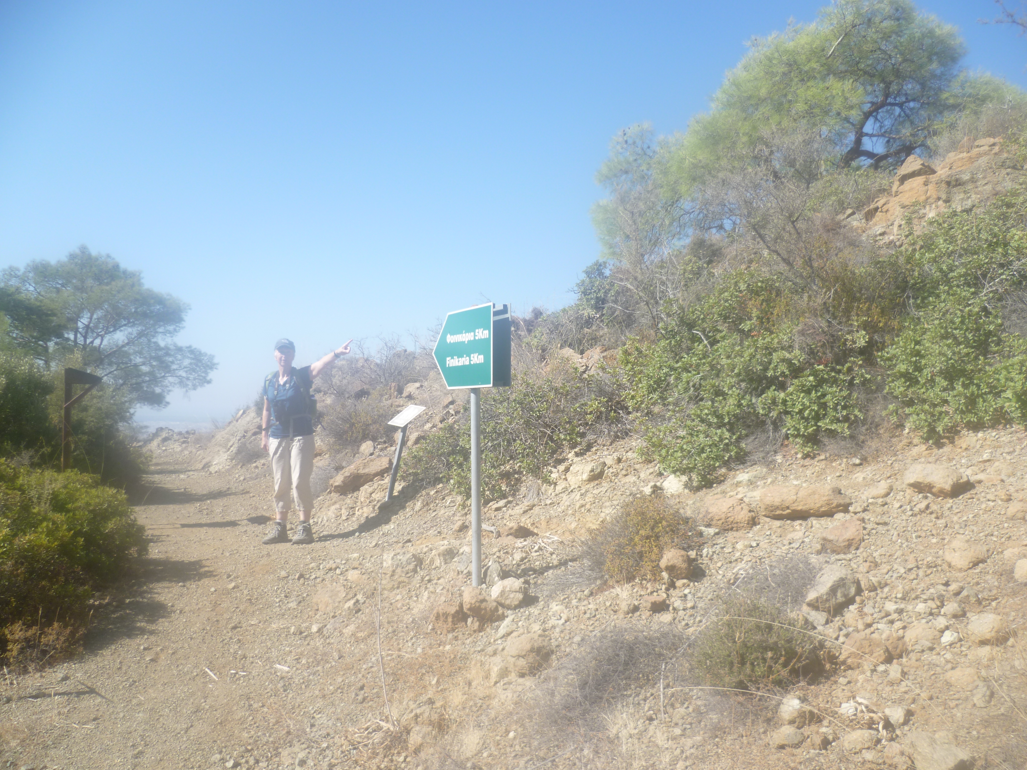
Walk alongside the other side of the stream bed for a five or six minutes until, after a short rise in the path, you arrive at a dog-leg path climbing up to the right.
At the time of writing (December 2023) this junction is marked by a green metal sign pointing downhill towards ‘Finikaria 5km’ as a further marker for the junction. Take the uphill option as indicated in the picture below:
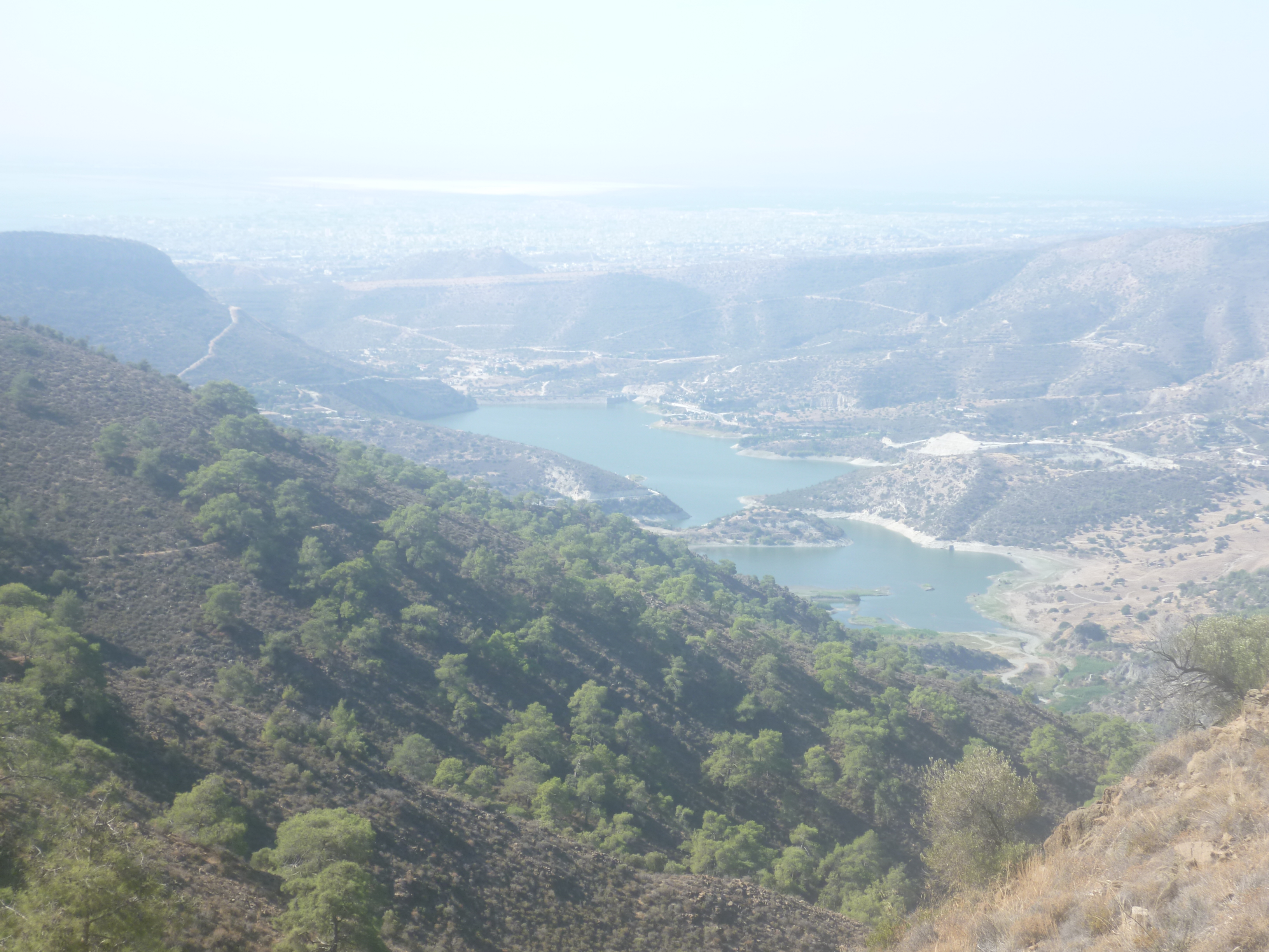
From this point it is a relatively straightforward, if occasionally steep, path to the summit. Don’t forget to look back at the wonderful views of the Germasogeia Dam, Limassol and the Akrotiri salt lake as you are climbing.
At 1 hour 35 minutes, just after a sharp right turn, you will reach a lovely shady bench with views across the empty valley. You are almost at the top now, so choose to stop here for lunch or carry on for another few minutes to the shelter!
Keep climbing upwards along a rocky path, ignoring an inviting looking track to your left and, three or four minutes’ later, taking the signed right fork onto a path to the shelter. (We followed the left hand track once – it’s lovely, for about half an hour. Then it simply stops and you have no choice but to climb back up the way you came).
You will arrive at the summit – Moutti tis Kyparissia – after approximately 1 hour 40 minutes. [GPS: 34.46867N, 33.07182E] You are at an altitude of 692 metres and, on a clear day, the views down across the southern plains and coast are stunning. Unfortunately, most days seem to be hazy when we’re there!
When you are ready to move on, take the track that heads east from the shelter, descending slightly for a few yards, then climbing a little before levelling out across the ridge. After just under 10 minutes of walking (1 hour 50 minutes – not adjusted for stops) you will come to a three-way junction with a bench and a sign pointing back the way you’ve just come to ‘Kyparissia Peak’. [GPS: 34.47006N, 33.07182E]
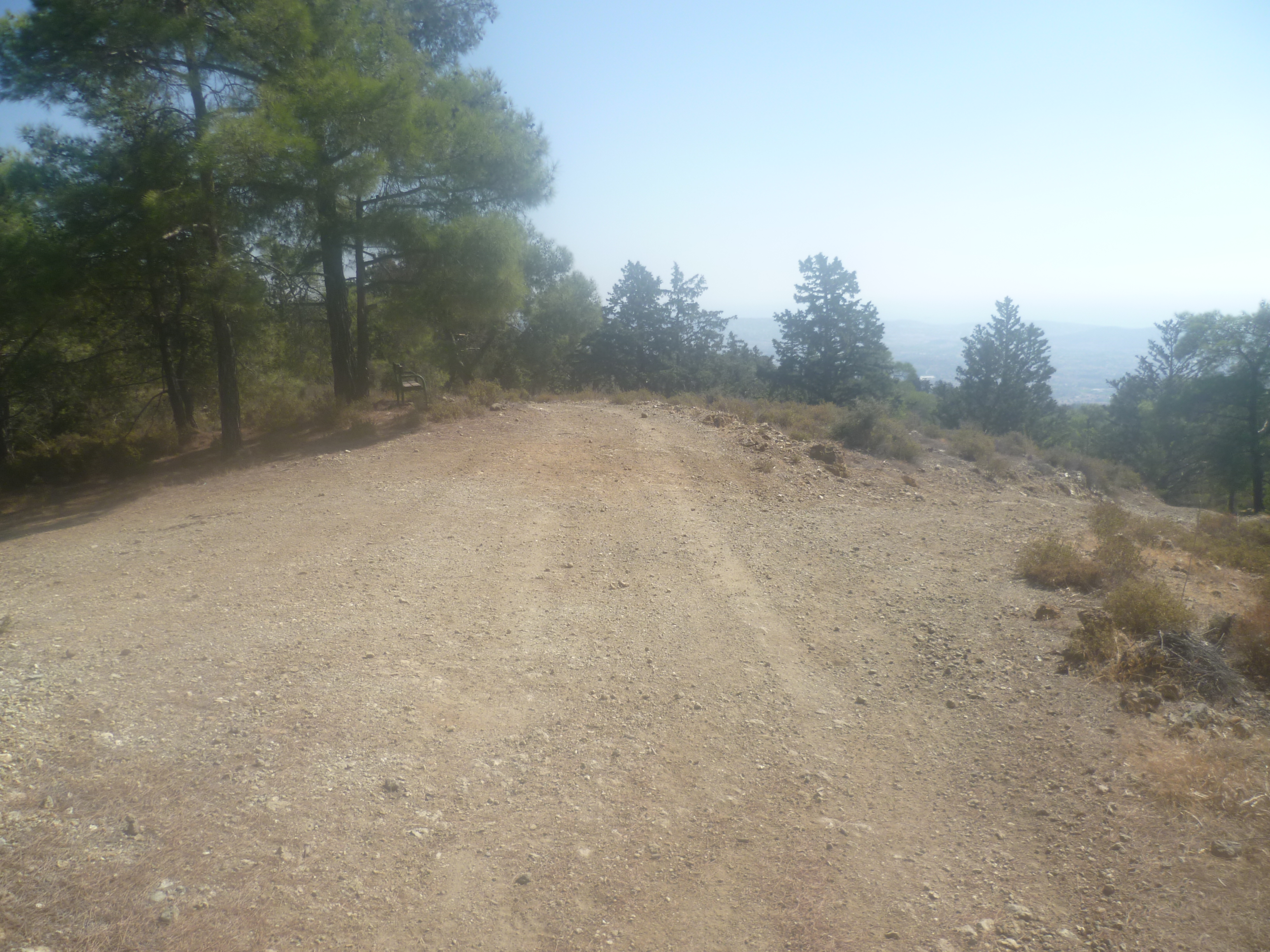
Ignore the right-hand option and carry on straight ahead, passing the bench on your left. After 1 hour 55 minutes you will find yourself back at the four-way junction which you previously reached after 45 minutes.
From here, it’s a simple left turn at the junction in order to retrace your steps back to the car. Of course, it’s all downhill now (and you already know where you’re going!) so it’s easier on the return leg – you will find that you are back at the starting point after a leisurely 2 hours 35 minutes.
Birds seen on this walk: Barn Swallow, Blackcap, Black-headed Bunting, Blue Tit, Chaffinch, Chiff Chaff, Chukar, Coal Tit, Common Buzzard, Cyprus Warbler, Cyprus Wheatear, Goldfinch, Great Tit, Greenfinch, Hooded Crow, Hoopoe, House Martin, Isabelline Shrike, Jay, Kestrel, Masked Shrike, Orphean Warbler, Pied Wheatear, Red backed Shrike, Redstart, Sardinian Warbler, Siskin, Wheatear, Whitethroat, Wood Pigeon, Woodchat Shrike.
Sightings around Germasogeia dam include: Bluethroat, Great & Little egrets, Grey heron, Purple heron and Squacco heron.

Wonderful walk! Thank you for such an easy to follow guide. Really enjoyable!
Glad you enjoyed it! Always nice to know that people do our walks!!
This looks a great walk. Is it possible to have the GPX file please. Thank you
Hi Janet! Yes of course…just email us (cypruswalks@hotmail.com) with your email address and we’ll send you the file!
Good morning.
We wanted to do this hike today, but no navigation system shows the route from Limassol. Why is that?
Hi David.
I’m not quite sure what you’re asking. The starting point is as indicated in the text i.e.
<<To arrive at the start point for the walk you will need to drive down the F144, signposted off the E109 road some 1.6km south of Kellaki, towards Prastio. Follow the road for about 800m until, on a right-hand bend, you come to a clear forest track straight ahead. It’s marked by a green signpost indicating ‘Foinikaria 15km’ and a larger brown signpost to ‘Kyparissia Trail 2.5 km’. You can park up here.>>
Although we tend not to use GPS much in Cyprus as we know most of the roads I would have thought that if you enter “Kellaki” into the GPS you will be able to navigate from the village fairly easily. Or am I misunderstanding your question?
it’s a good walk so I hope you manage to resolve the issue!
Best wishes
Mark
Hello Mark,
First of all, thank you for your reply.
Basically, if I enter “Kyparissia Nature Trail” or “Kyparissia Peak” into the navigator, it says: “Sorry, we couldn’t calculate driving directions from ‘Home to ‘Kyparissia Nature Trail, Q4J9+FW6, Foinikaria 4505, Cyprus.'”
Normally, I input the details into the navigator, and it guides me to the parking area from where I start the hike later on.
I read your response. I’ll try heading to Kellaki and then figure out the way visually from there.
Thanks 🙂
This sounds like an enjoyable and scenic hike.