Date Last Walked: May 2018
Distance: Approximately 18 miles (30 km)
Duration: Approximately 7 hours 30 minutes (excluding stops)
Difficulty: Fairly challenging. A comparatively long walk with a significantly steep climb midway through. A minimum ascent and descent of around 700 metres.
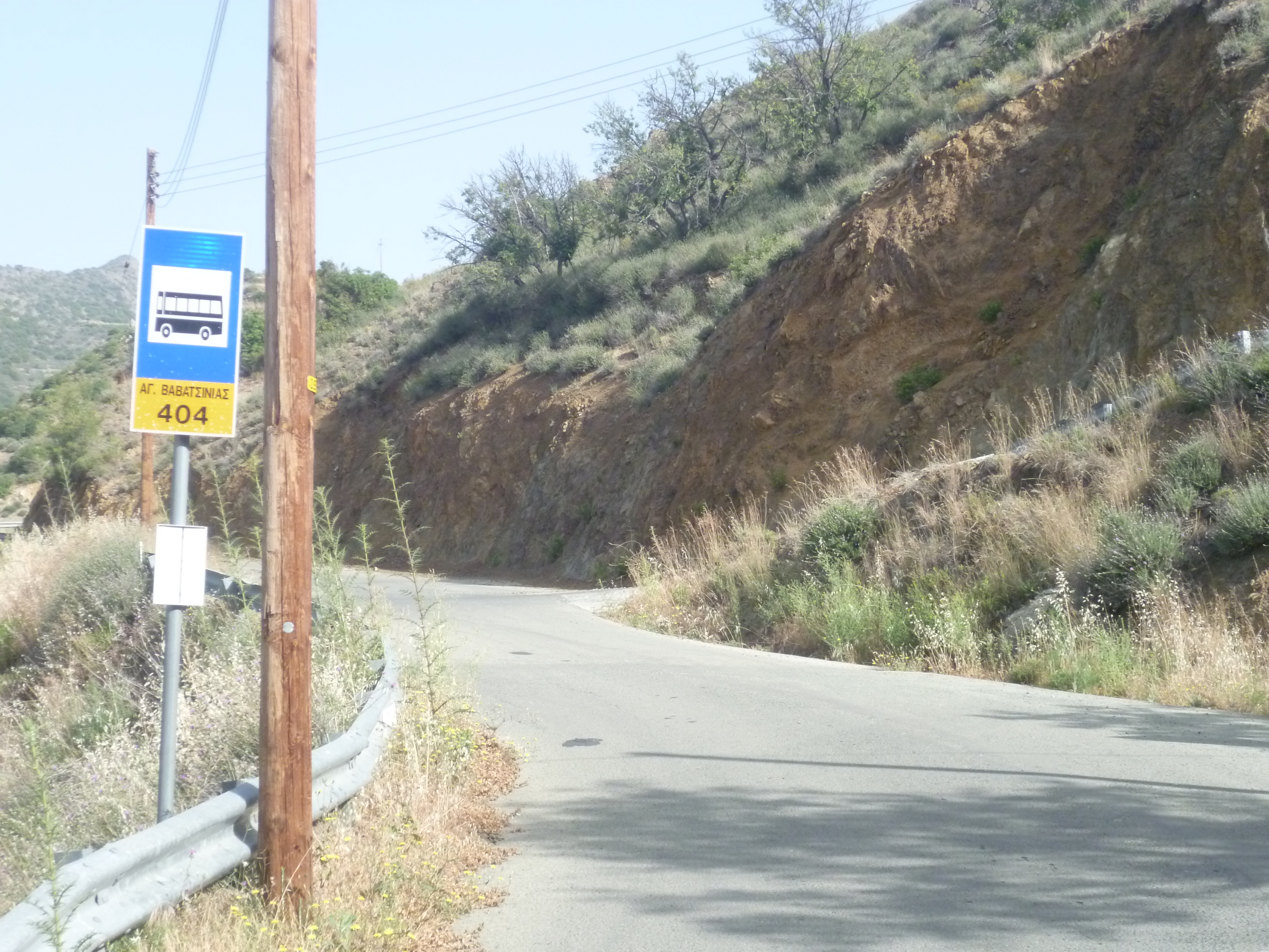
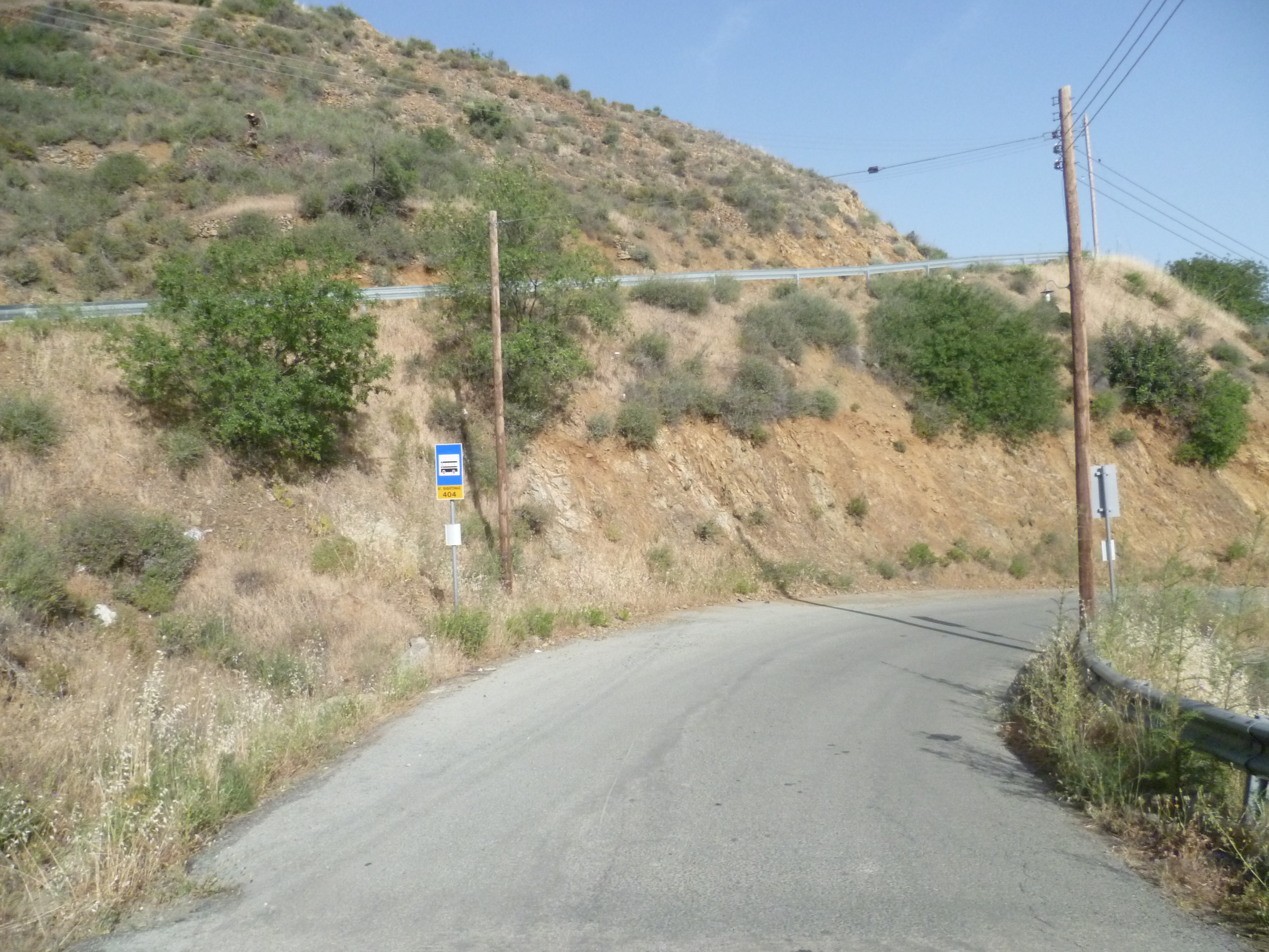
This remote walk starts from the village of Agioi Vavatsinias, to the south-west of the Machairas Forest. We drive into the small village centre and then take the road (west-north west) from there signposted to Machairas – you can park anywhere along this road, although we usually choose a spot on the right-hand side some 200 metres beyond the bus stop. [GPS – 34.8815692N, 33.1881835E]
Start walking along this deserted asphalt road, broadly following a gentle uphill contour. After about 7 minutes you will come to a fork in the road:

Although you are headed for Machairas Monastery and beyond, you will need to take the left-hand fork here i.e. the one which is NOT signposted to Machairas! The road descends downhill, heading in a north-westerly direction into a large valley. You will need to need to follow this main track for the next hour and a half, always keeping the valley bed to your left.
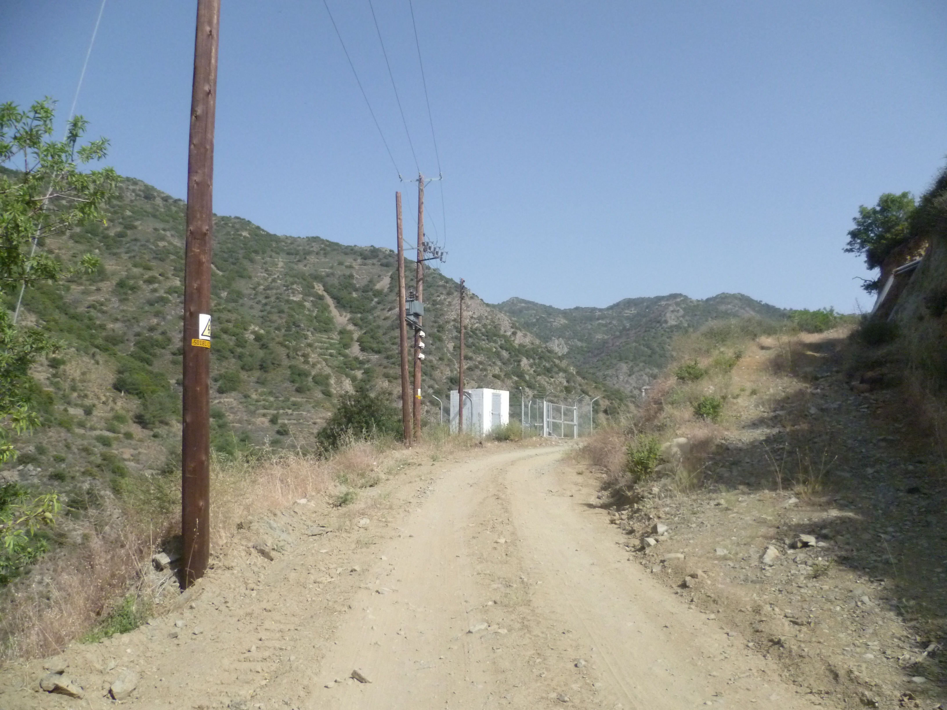
After about 20 minutes the metalled road becomes a strong earth track and, shortly after, you will pass a small water pumping station on your left…
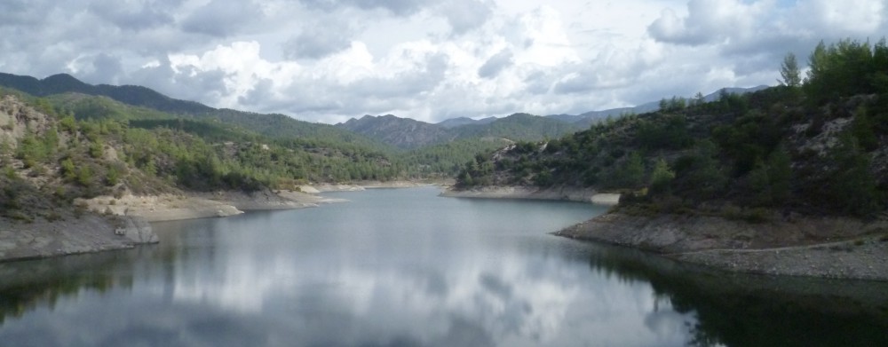
…and at approximately 40 minutes you should see a small water reservoir below you
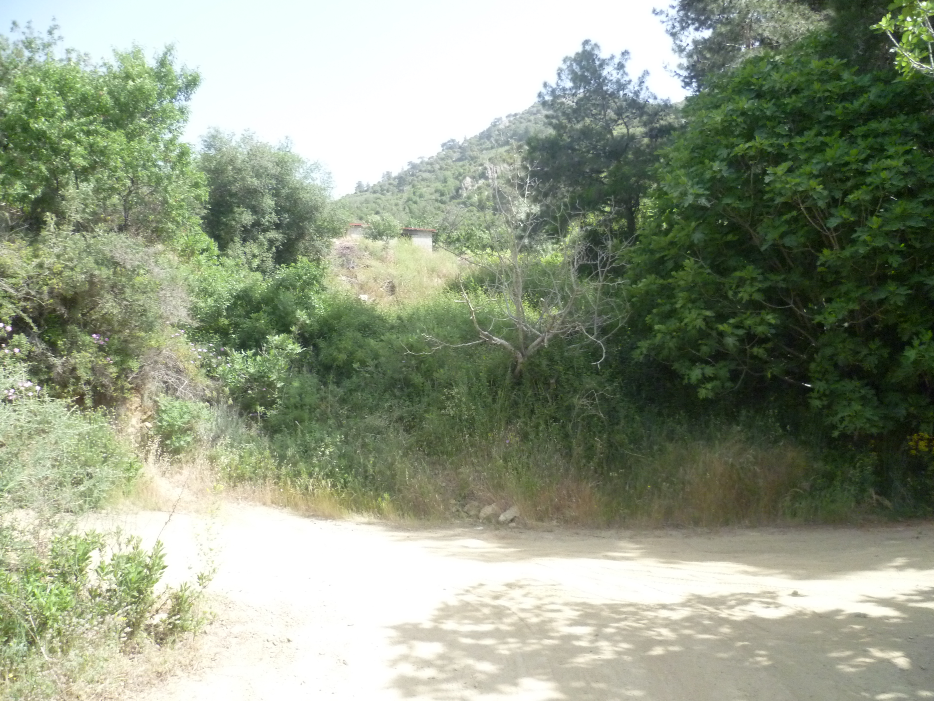
This is a quiet, beautiful valley with a river below and cultivated farmland all around. The path continues to head steadily uphill. After about 1 hour you will be walking through a very thinly wooded area with pine trees. The track then crosses the stream bed, runs parallel for a short while, then recrosses so once again the stream bed is on your left.
At around 1 hour 10 minutes you will reach a T-junction. You can just about see some farm buildings at the top of the bank in front of you.
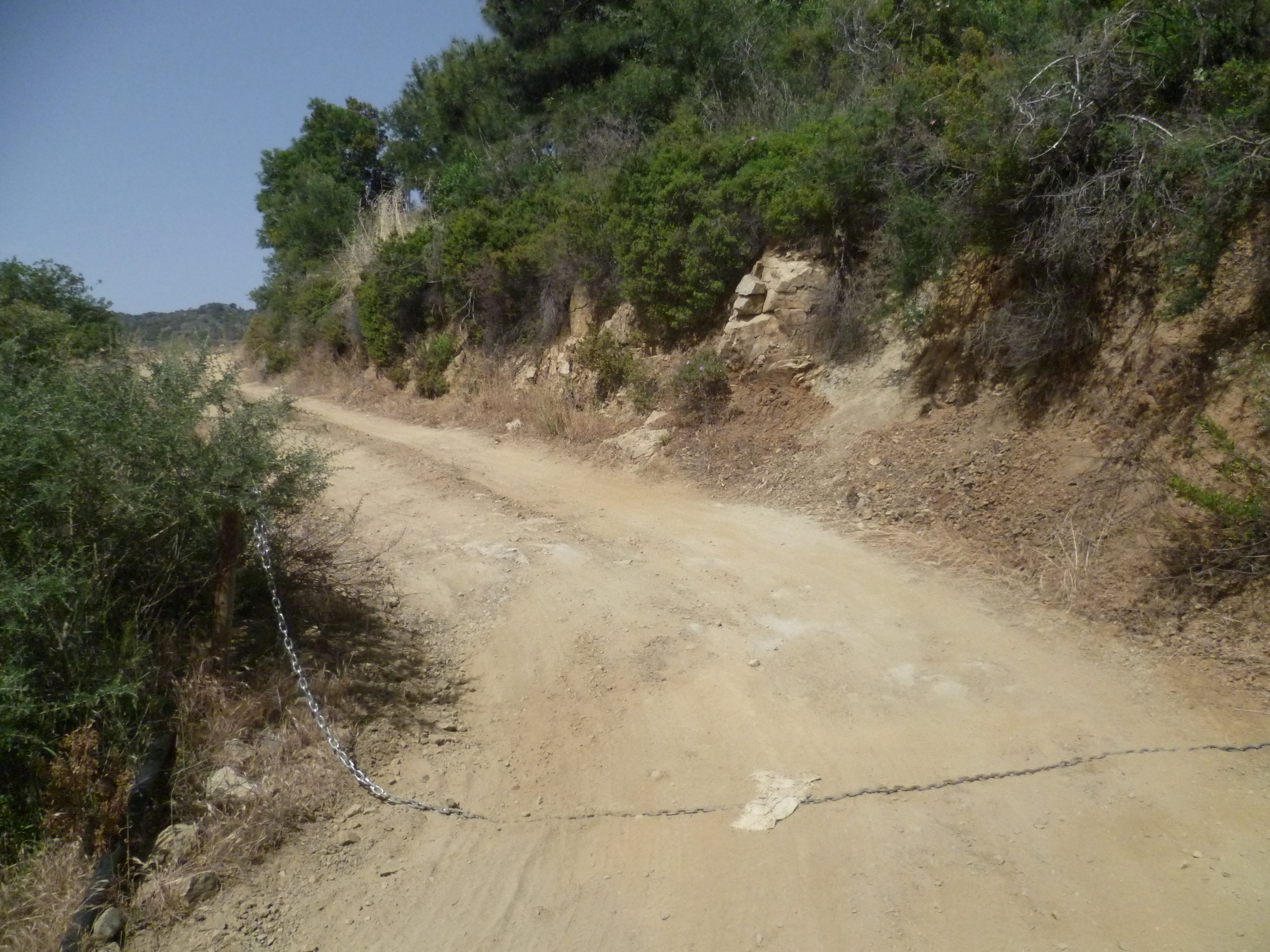
There are two fig trees, one either side of the track to your right. Turn left here. There is sometimes a chain across the path at this point. It isn’t usually locked and in any case is just there to prevent vehicles from entering the farm.
A few metres later you will see the way to the farm to your right and after a further few metres you will pass the rusting remains of a bulldozer to the left of the track.
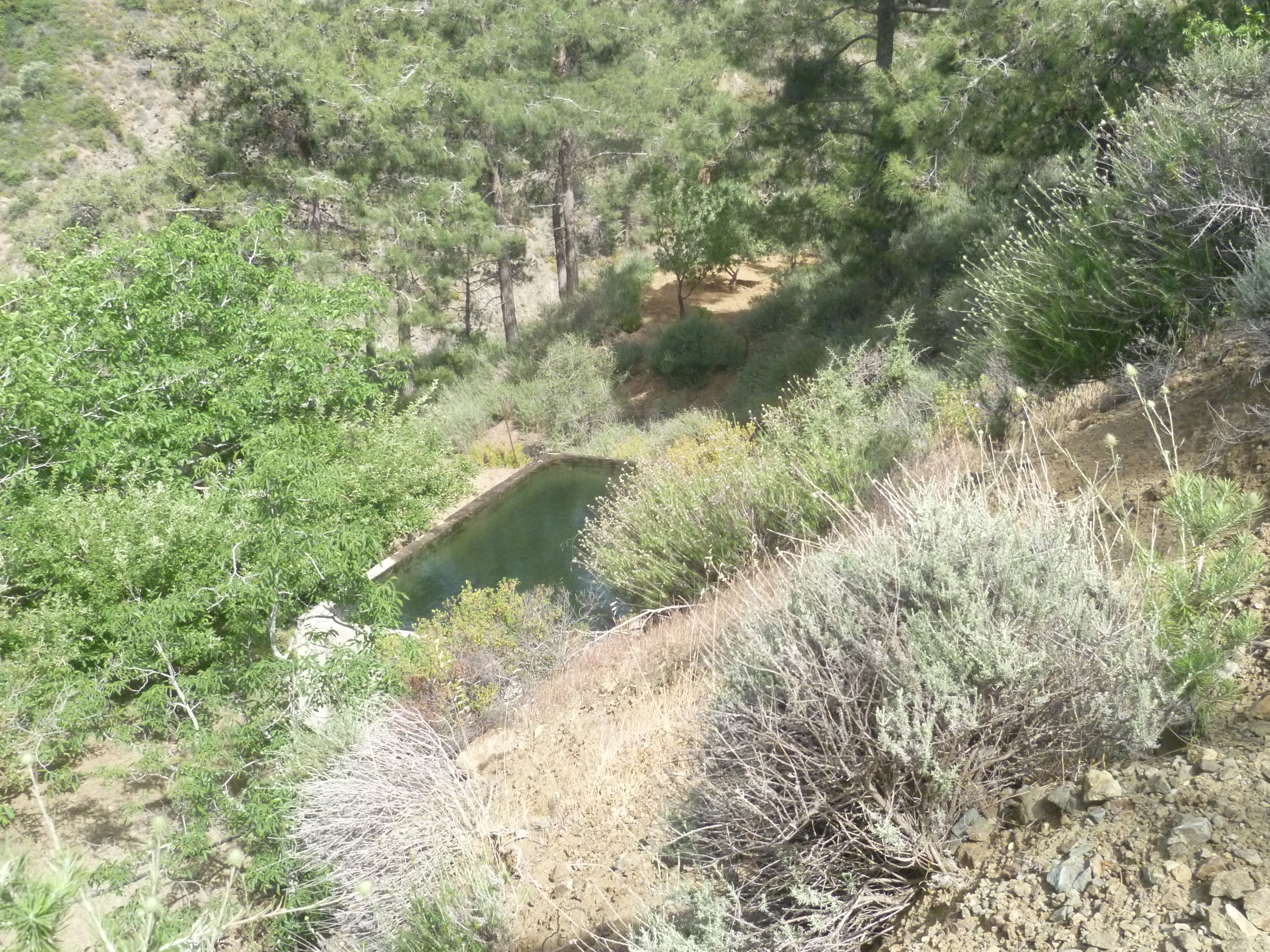
Follow the track as it skirts around the farm, through terraces and past another small reservoir. There are numerous side tracks here but if you keep to the main track, keep the farm buildings to your right and continue uphill you will be fine.
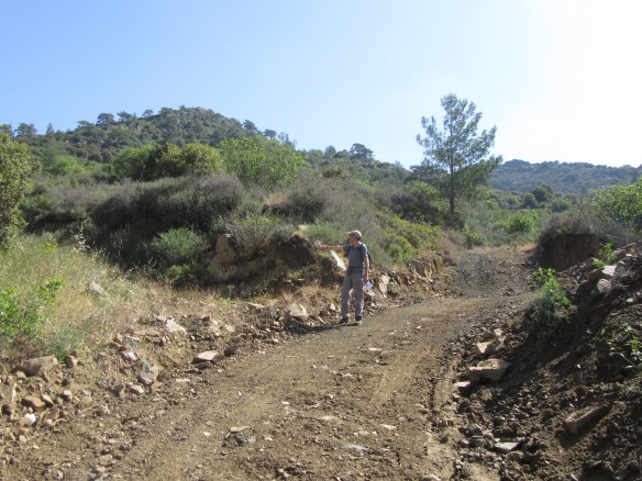
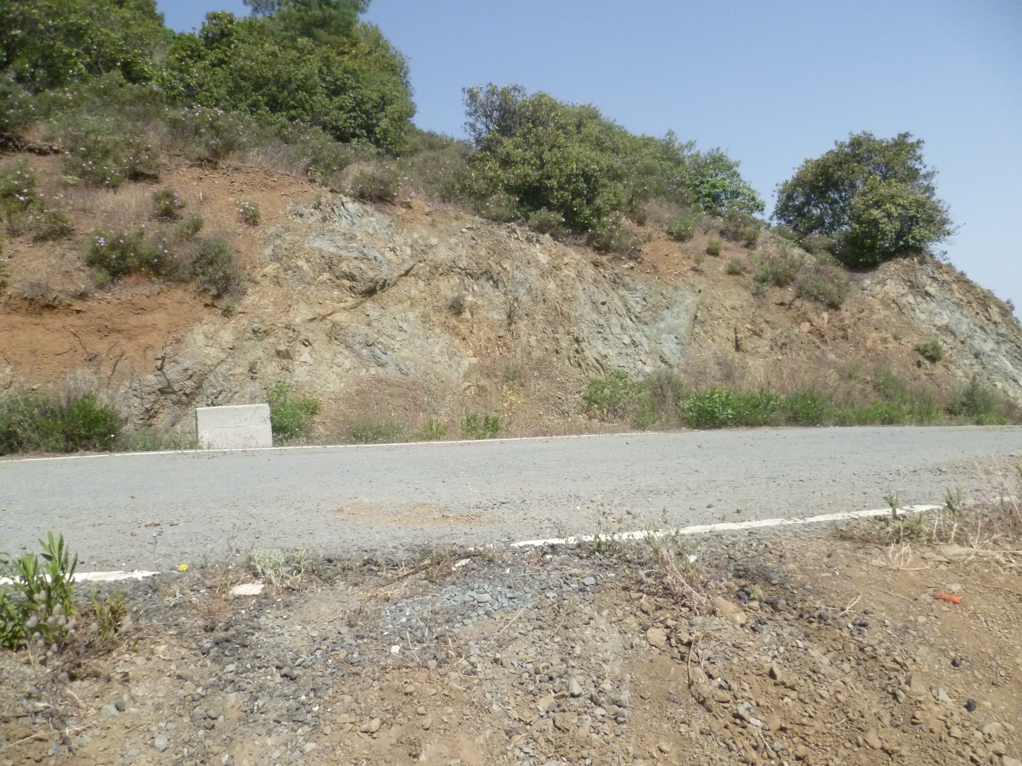
At around 1 hour 20 minutes you will be heading uphill toward a saddle with the farm behind you. At 1 hour 27 minutes you will need to veer left uphill (in a northerly direction) as indicated in the photo below…
The track is quite steep in places here but persevere and after 1 hour 35 minutes and a final scramble up a few metres of loose red earth at the end of the track, you will arrive at an asphalt road. [GPS – 34.9068868N, 33.1760368E]
Take a breather in the shade of the pine trees to your left, before turning right and heading downhill along the road into another beautiful valley.
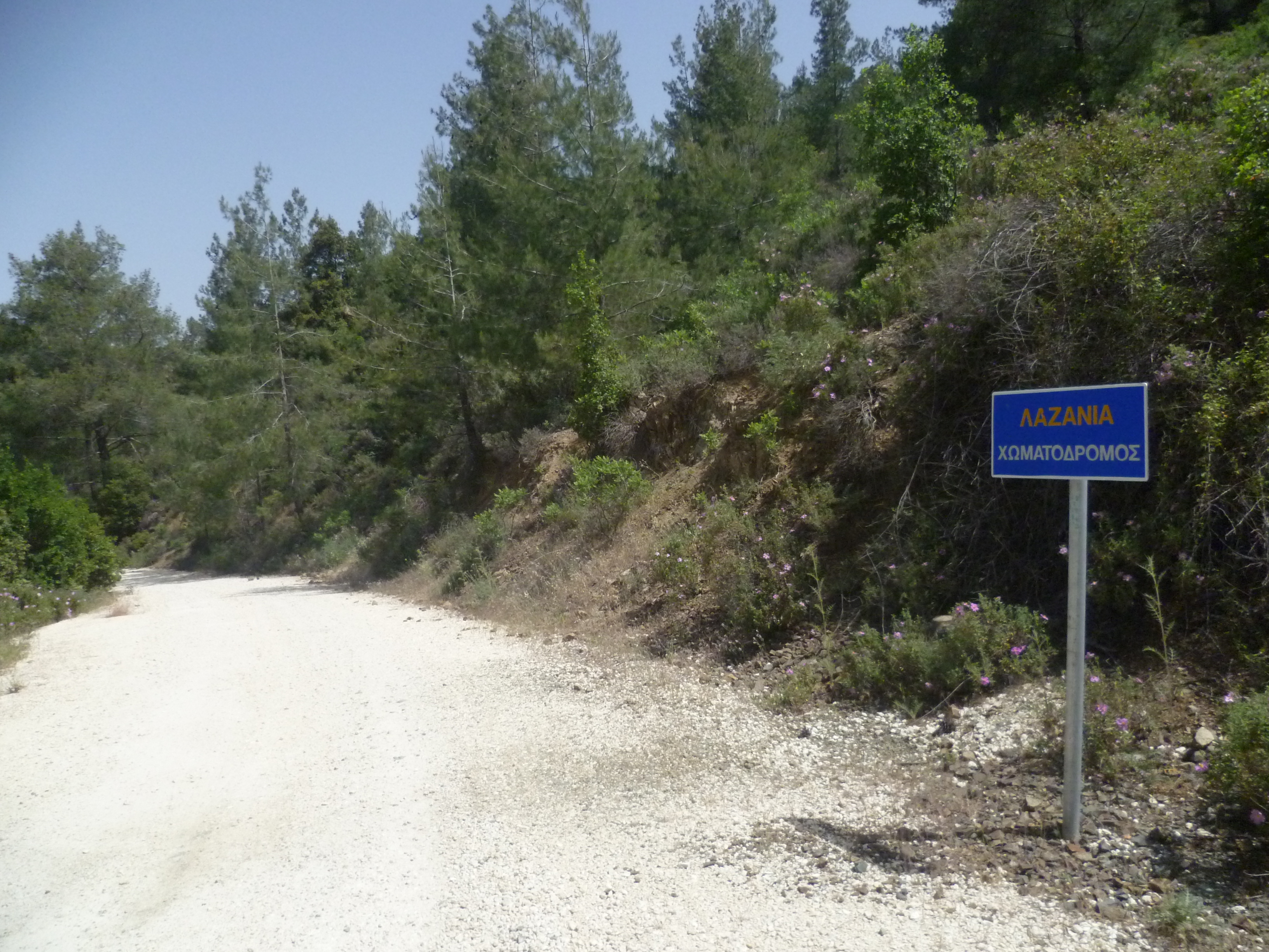
This is a country road between Odou and Lazanias but you are unlikely to see any traffic on it. As the road winds downwards it becomes of inferior quality until, after a leisurely 2 hours 15 minutes, it becomes an earth track.
The walking here is comparatively easy and – in May at least – the surrounding valley is full of the sound of birdsong. We saw masked and red-backed shrike, hoopoe, black heading bunting, tree and spanish sparrow, cyprus wheater, cyprus warbler amongst many others [see Bird List below]…and all with very little effort.
You will cross the valley floor at around 2 hours 25 minutes and continue walking with the river bed now on your right and high hills rising up in the background. After 2 hours 55 minutes the earth track winds gradually down to an asphalt road.
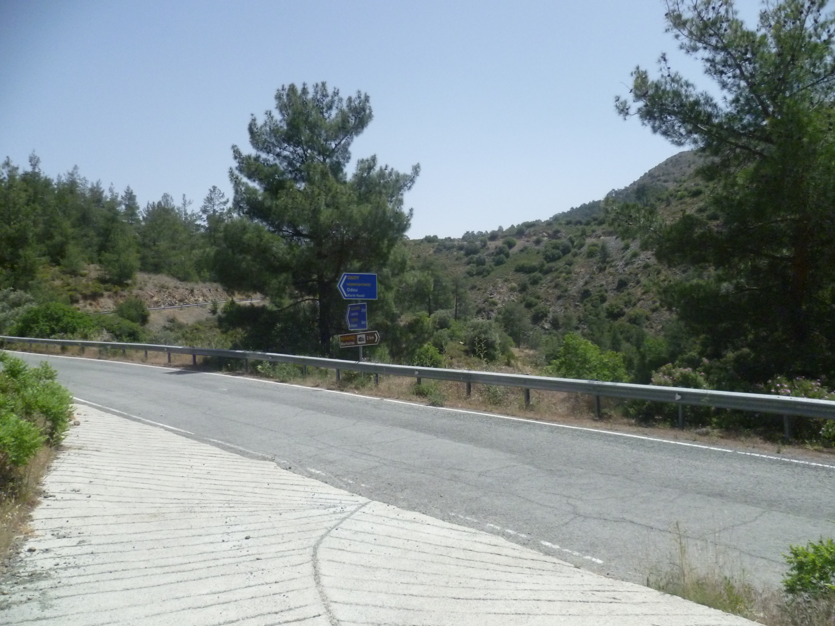
Turn right here and, as indicated by the signpost, walk the remaining 2 kilometres up this empty road to Machairas Monastery. In 3 hours 20 minutes the red roof and orthodox cross of the monastery gatehouse hove into view and it’s only a further few minutes to the monastery itself (3 hours 25 minutes)
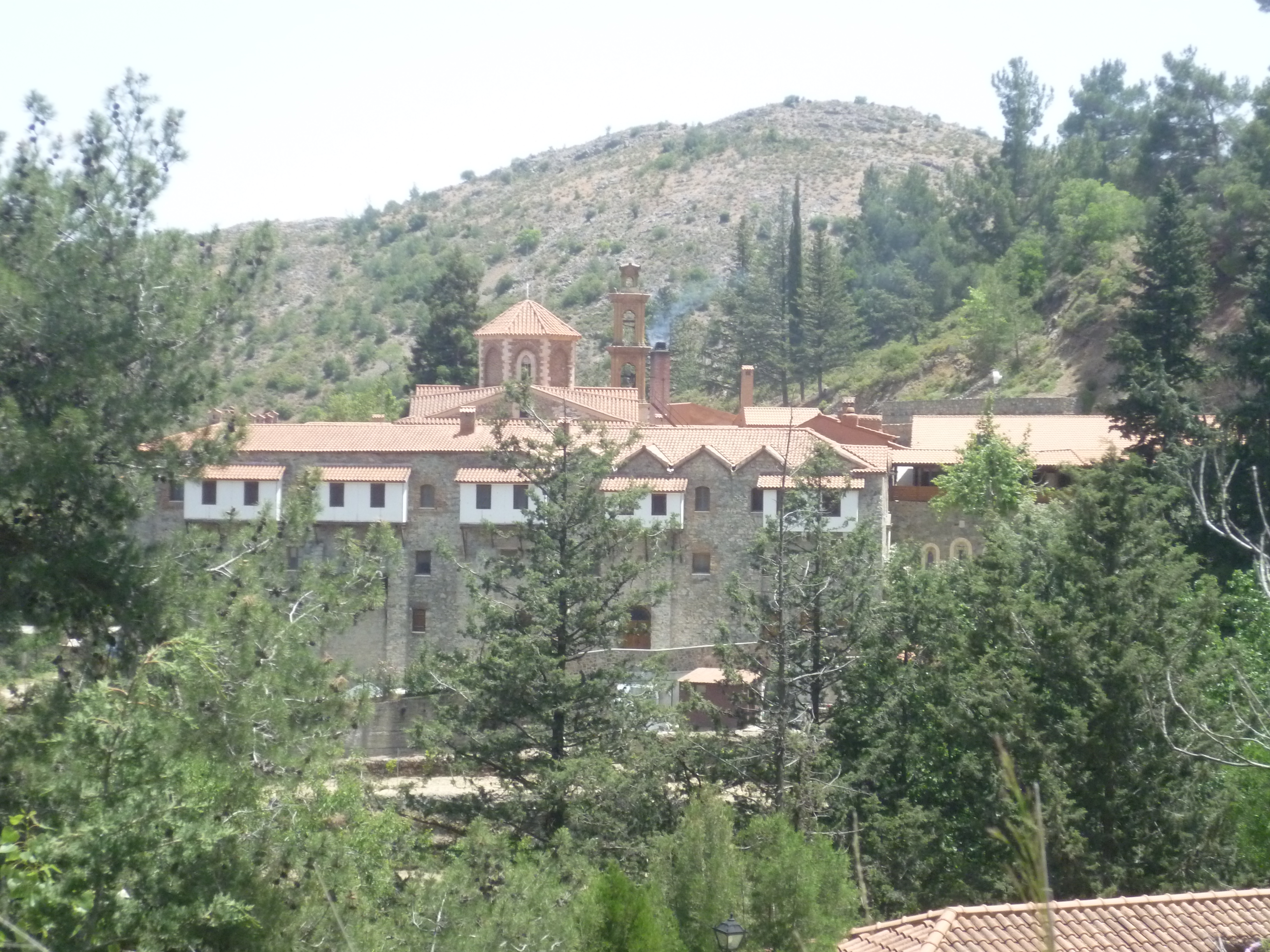
Machairas Monastery is beautiful: calm and peaceful among the hillside trees, particularly if you’re lucky enough to arrive at a time when there are no tourist buses! It’s certainly worth spending some time in the monastery grounds and in the chapel.
When you’re ready to leave take the asphalt road heading up behind the monastery. You are now on the E4, the European Long Distance Trail, heading towards Kionia. The road winds a short 0.5 kilometre to the top of the hill where there is a large cross and a trail signboard (3 hours 40 minutes)
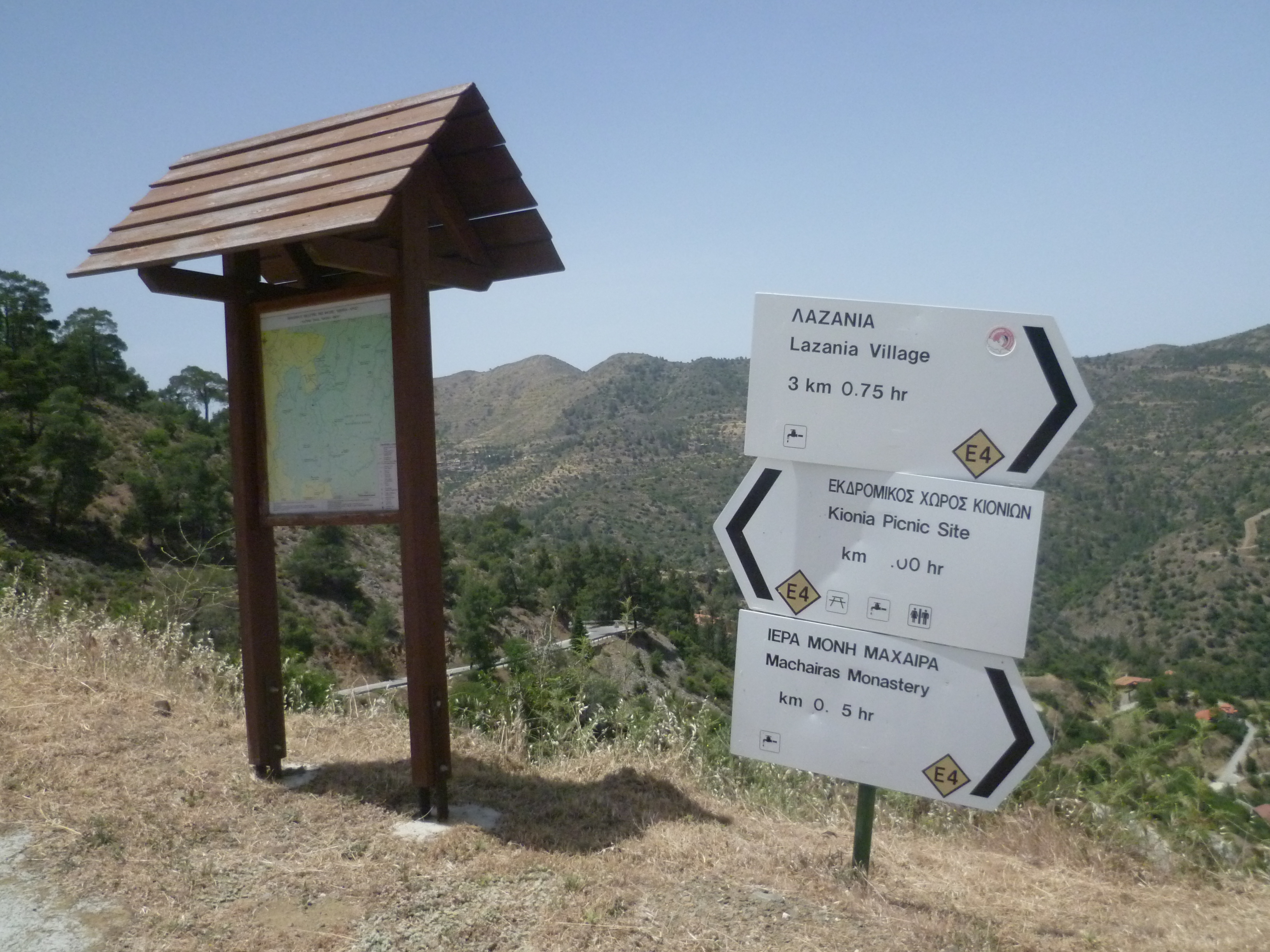
You will need to take the upward track to the left of this board (as you look at it), signposted towards ‘Kionia Picnic Site’.
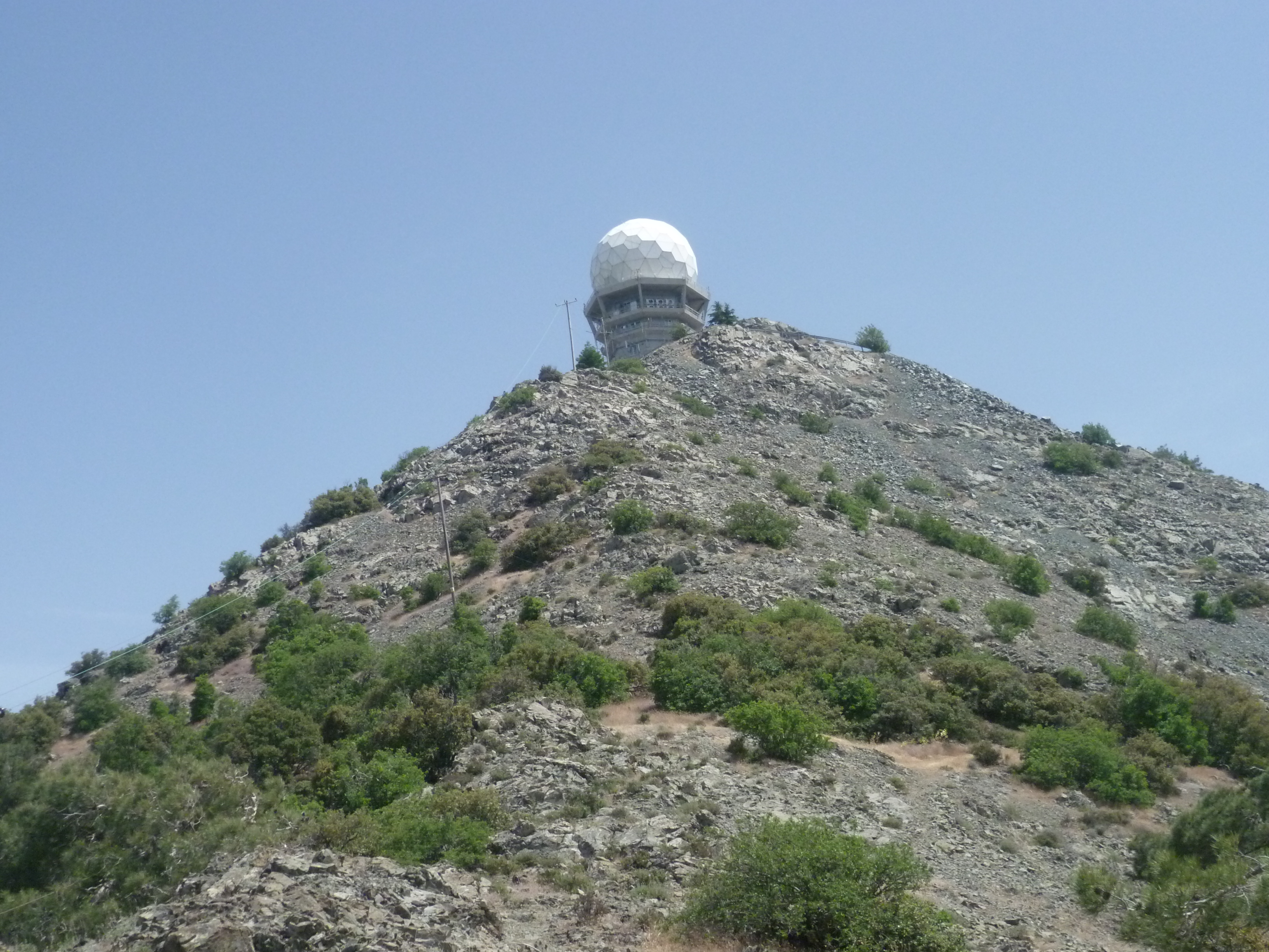
This will probably be the most difficult part of the walk. The trailboard is at an altitude of 952 metres and you are now heading to a point just below the large white ball of the Machairas look-out station which you can see in the distance at a height of 1,423 metres. Moreover, this is now likely to be the hottest part of the day!
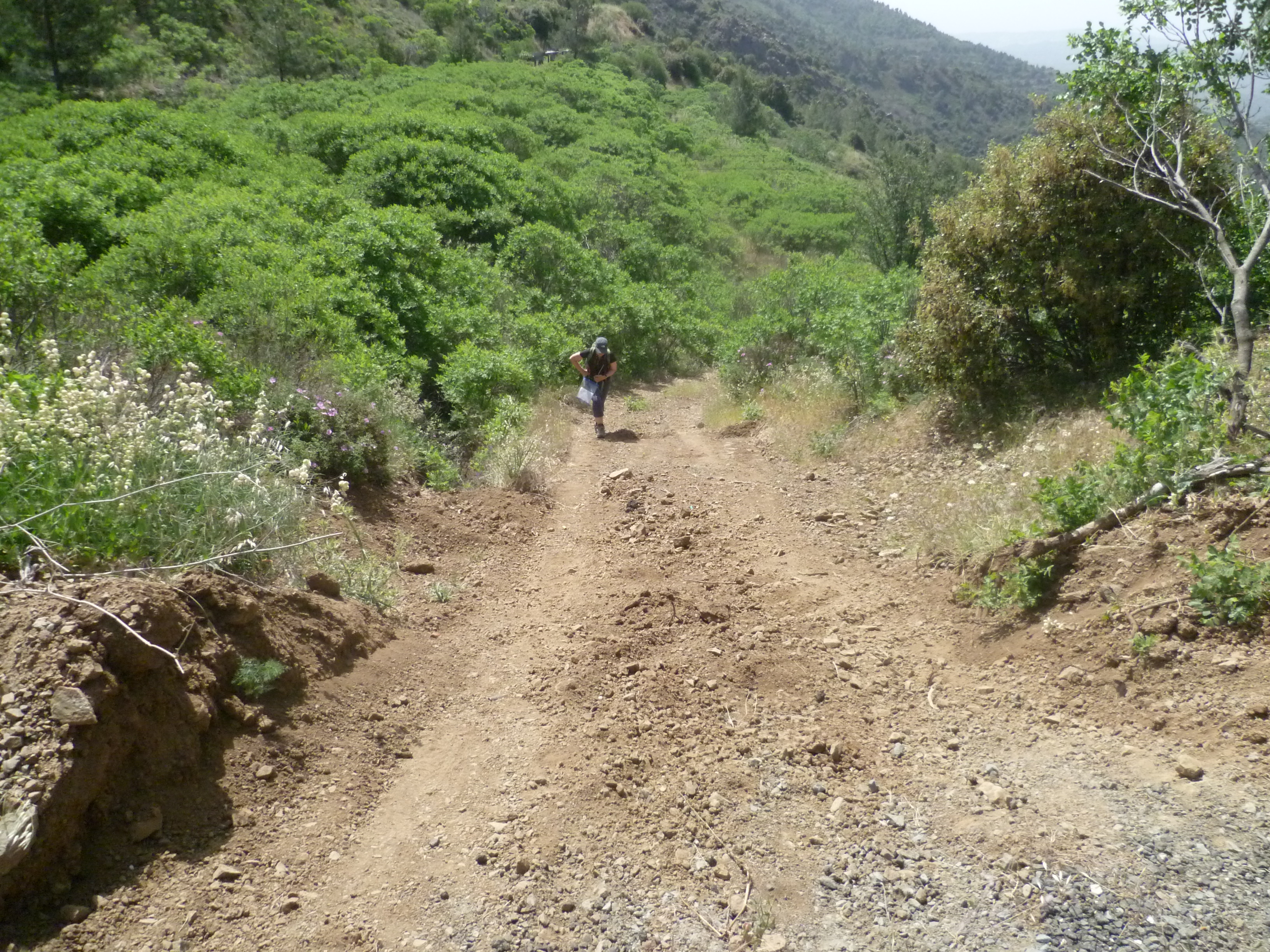
The initial path uphill is pretty steep and you may find it slow going. It does become (a bit) easier. Follow the path upwards until, after about 4 hours, you see a cypress on your left side and immediately afterwards, a small E4 sign directing you to follow a slight downward path to the left. Watch carefully for this path – it’s easy to miss it.
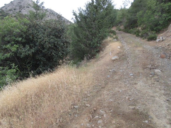
You are still on the E4 which now zig zags upward towards Machairas summit. It’s quite precipitous at times and can be very loose underfoot, so do take care. And don’t forget to take a few minutes to look around you – the views from this part of the walk are truly breathtaking. By 4 hours 45 minutes you will reach a rocky ridge.
Your path follows the ridge – it’s a bit difficult to see the path in some sections because you are walking over rock. It’s also quite steep and a bit of a scramble at times. Just keep going upwards, following the gravel path where you can see it and after 4 hours 55 minutes your path will enter a small wooded area, surprisingly green and cool. Just a short way into this wooded area you will, with no small sense of achievement and relief, start to descend.
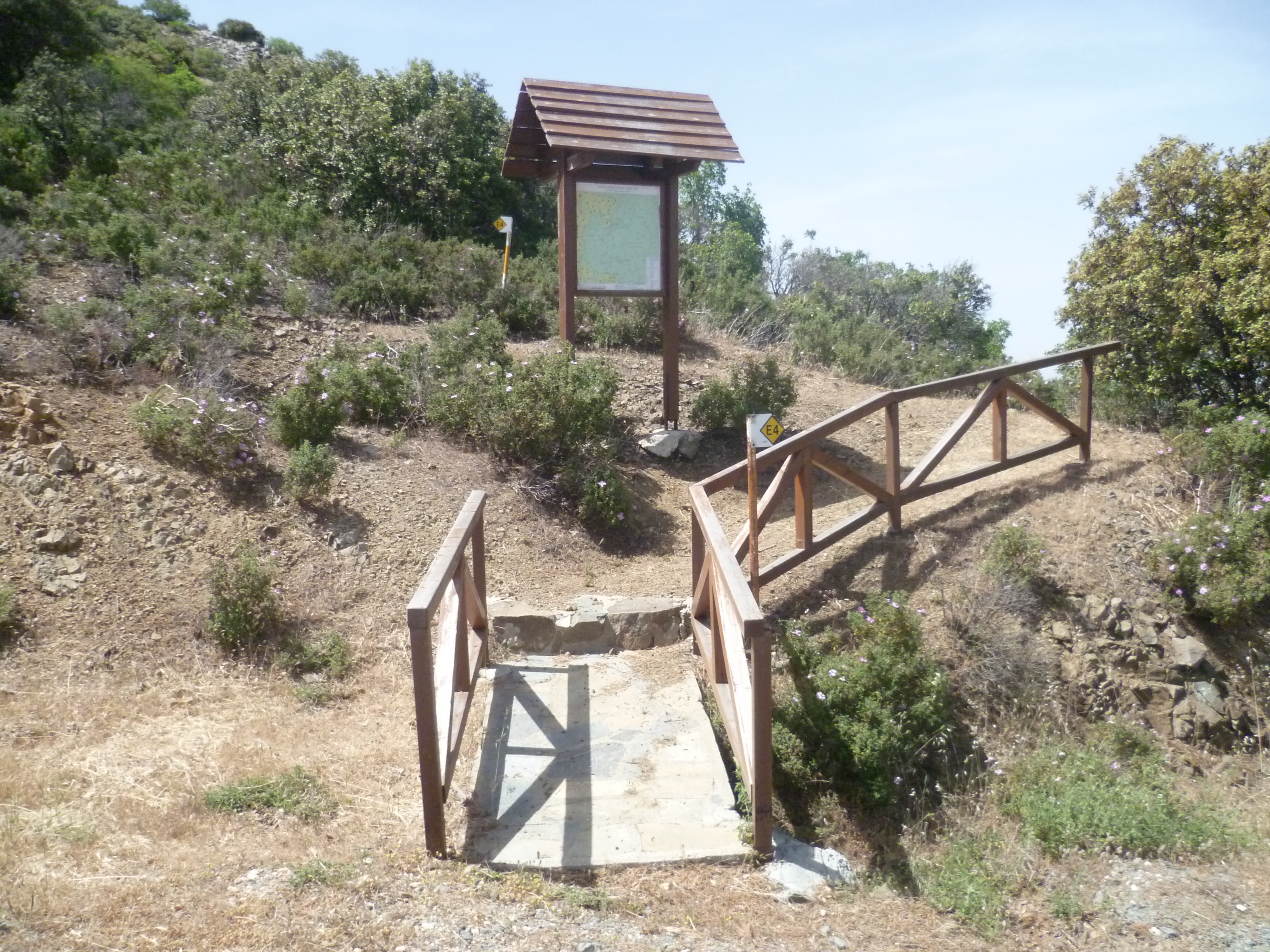
At 5 hours 5 minutes you arrive at a wooden bridge and the notice board which marks the start (or end) of the 3.2km nature trail.
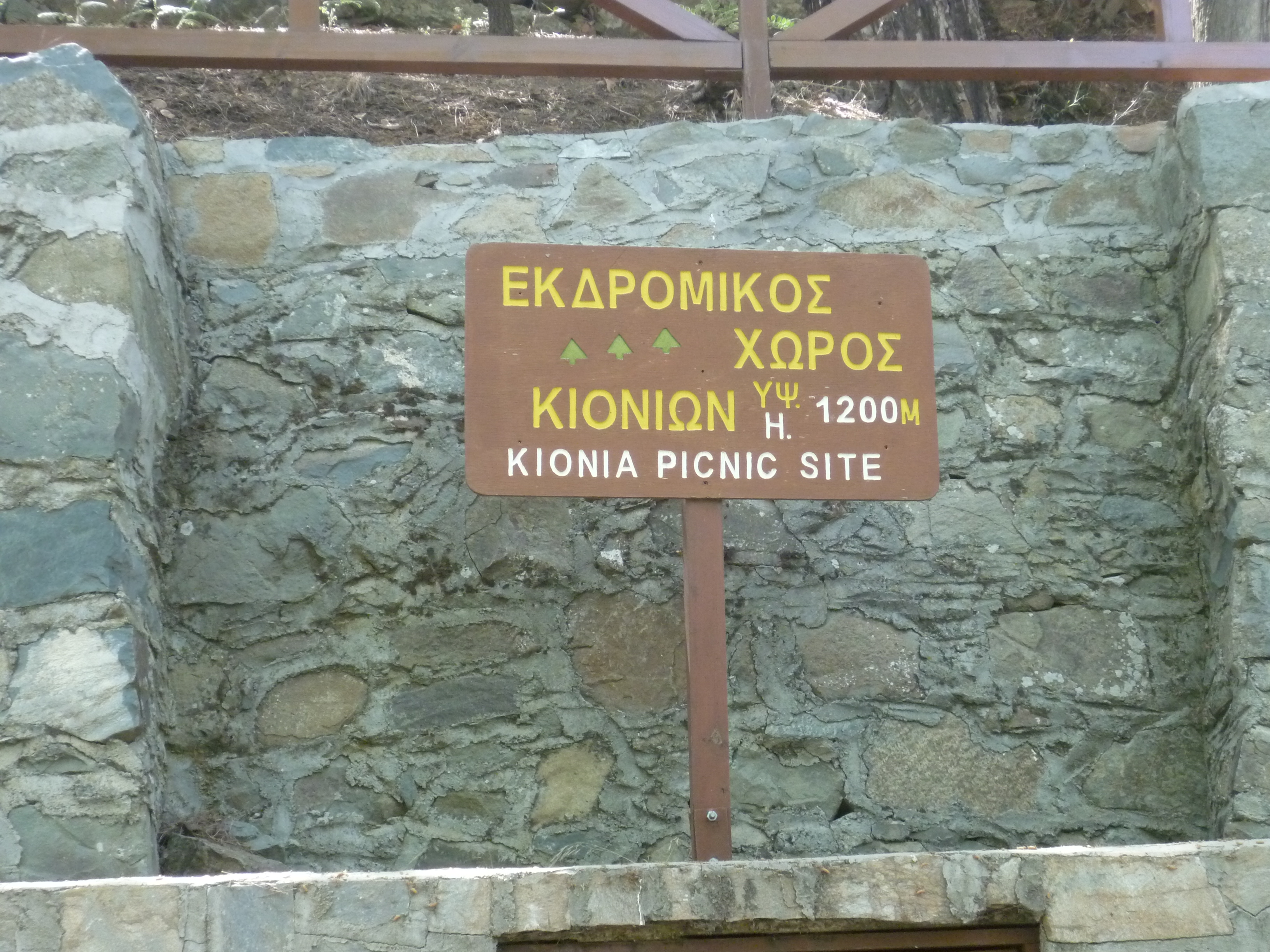
The fire lookout station is a little further up the hill to your right but you will probably decide that you have done quite enough staggering uphill for one day. In which case, follow the asphalt road as it descends to arrive in ten minutes (5 hours 15minutes) at the Kionia picnic site, just a little to the left of the junction with another road.
This is a good place to stop, enjoy the shade and (unless it’s a public holiday) the peace and quiet. You can also refill your water bottles here with deliciously cold drinking water.
When you are ready, restart the walk by setting off down the asphalt road, heading south toward Vavatsinia.
Some 10-15 minutes from Kionia (5 hours 30 minutes) you will see a blue road sign pointing ahead to Vavatsinia and Lefkara and right to ‘Agioi Vavatsinias 10km’.
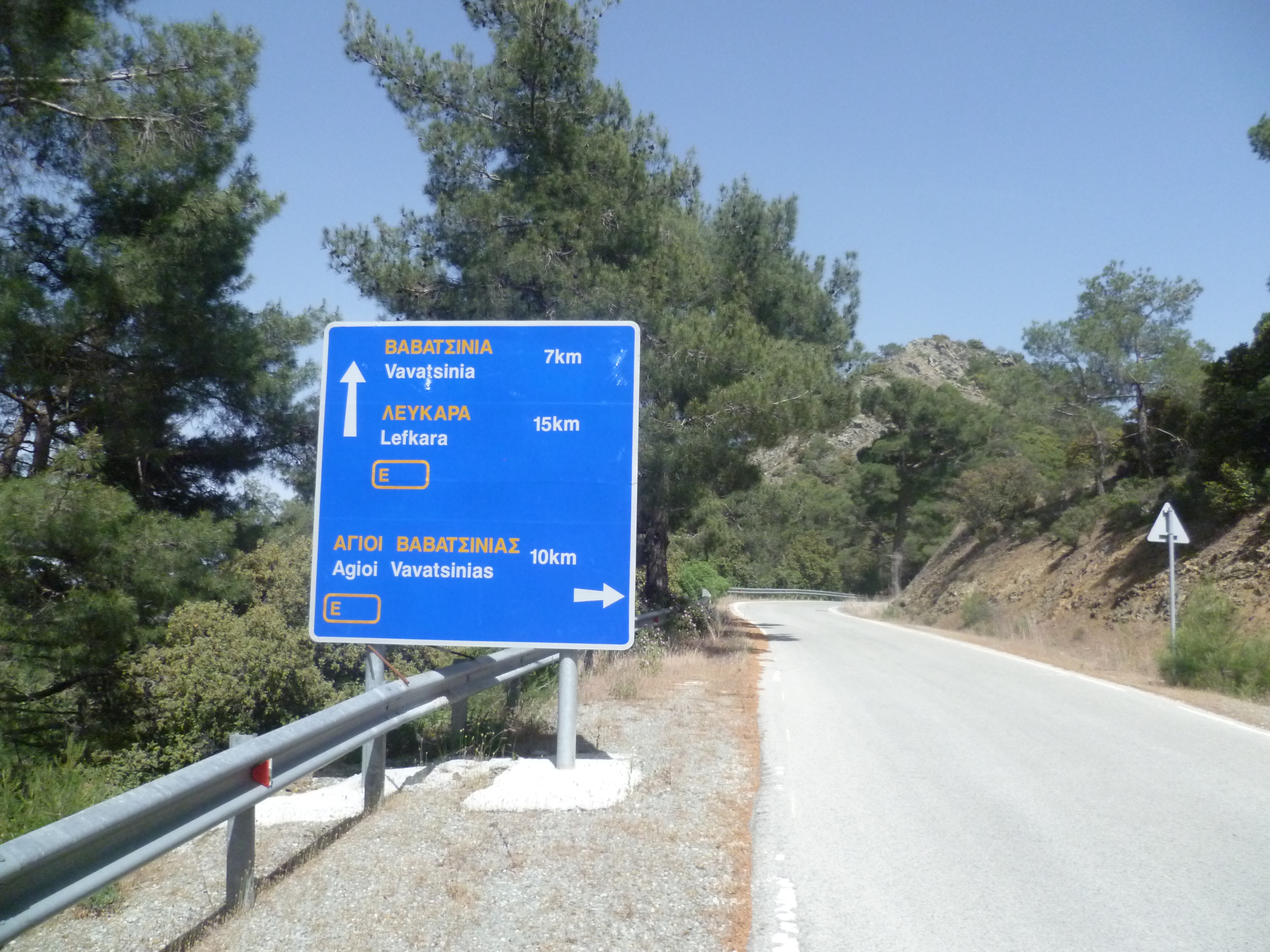
Take the road to Agioi Vavatsinias. This was previously an earth track but has been asphalted in the last year or two. Nonetheless, this road is deserted (we’ve never seen a vehicle on it!) and wild plants have already started growing up through the road surface. Ignore all tracks to the left and right – this road will take you all the way back to your start point.
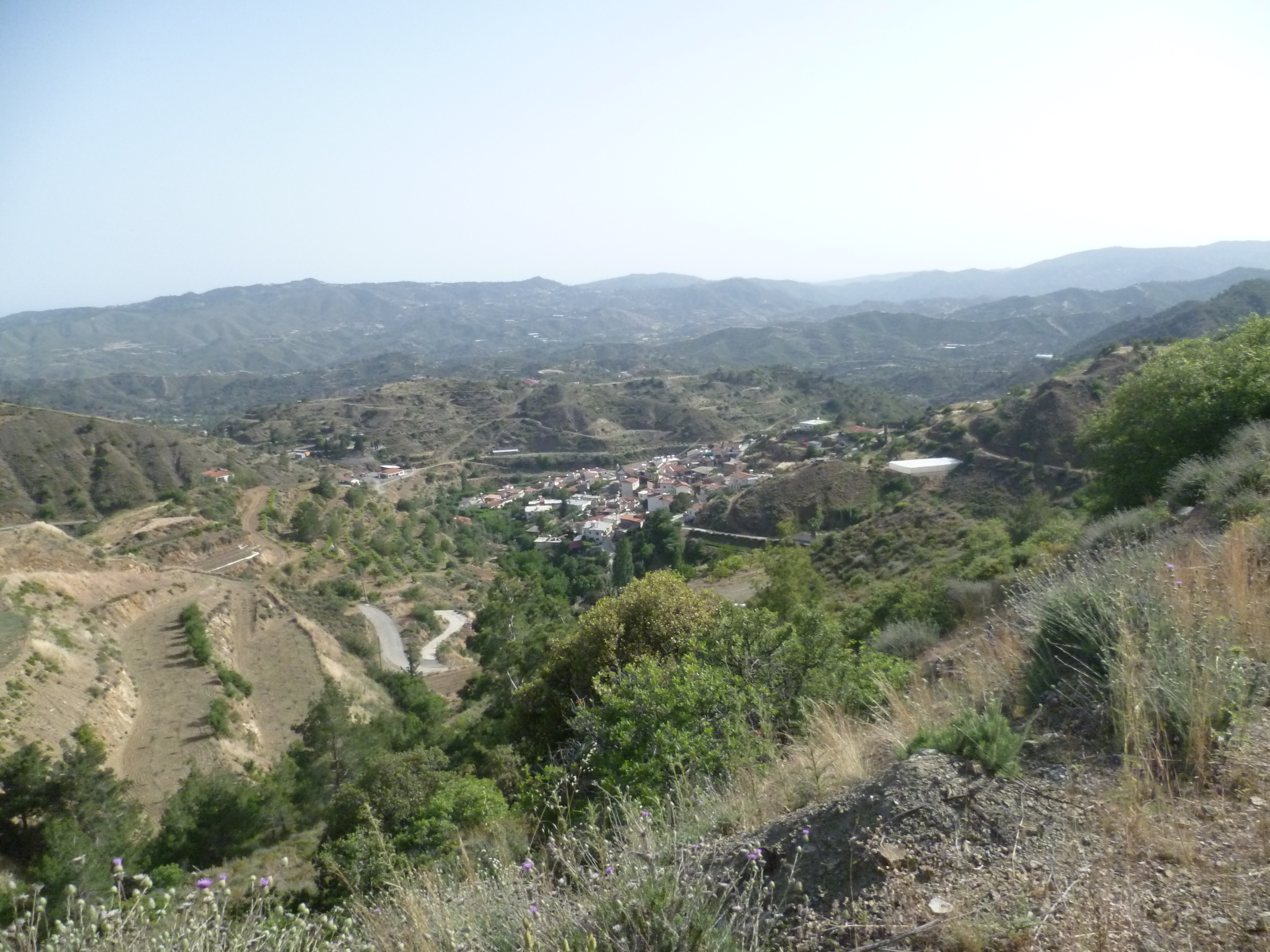
It can sometimes be a bit of a slog in the late afternoon sun but you will be well compensated by the views across this quiet valley…and of course it’s all downhill! The road winds gently down and it’s not until 6 hours 50 minutes that Agioi Vavatsinias comes into view below and to your right.
At 7 hours 10 minutes the asphalt runs out and at 7 hours 20 minutes you will be back at the junction to Macheiras – you’ll remember that you turned left here this morning at the 7 minutes point in your walk!
Retrace your steps from the start of the walk back to your car. Now go and treat yourself to a lovely cold Keo. Cheers, and well done!
Birds seen on this walk: Barn Swallow, Blackbird, Black-headed Bunting, Chaffinch, Chiffchaff, Chukar, Coal Tit, Corn Bunting, Cretzschmar’s Bunting, Cyprus Wheatear, European Bee-eater, Goldfinch, Great Tit, Hooded Crow, House Martin, Jay, Linnet, Magpie, Masked Shrike, Olivaceous Warbler, Orphean Warbler, Ortolan Bunting, Pied Flycatcher, Pied Wheatear, Red-backed Shrike, Sardinian Warbler, Serin, Spanish Sparrow, Sparrowhawk, Tree Sparrow, Wood Pigeon.
