Almyrolivado – Kambos tou Livadiou – E4 Circular Walk
Date Last Walked: March 2025
Distance: Approximately 7 miles (11 kms)
Duration: 2 hours 30 minutes (excluding stops)
Difficulty: Comparatively easy walking at altitude on clearly defined roads and tracks with only moderate changes in gradient. Total ascent/descent through out the walk is about 290 metres. Plenty of shade throughout.
GPX file available on request.
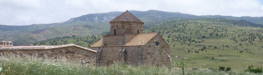
This is a very pretty walk high up in the Troodos mountains. You will walk in the shadow of Mount Olympos and see some spectacular views across forested hillsides into steep ravines and to the north coast, all without any real exertion!
From Troodos Square, take the B9 road in the direction of Nicosia for around 2.5km. You will see the Almyrolivado picnic site on your right. This is the starting point of the walk. (GPS: 34.9304604N, 32.9025111E)
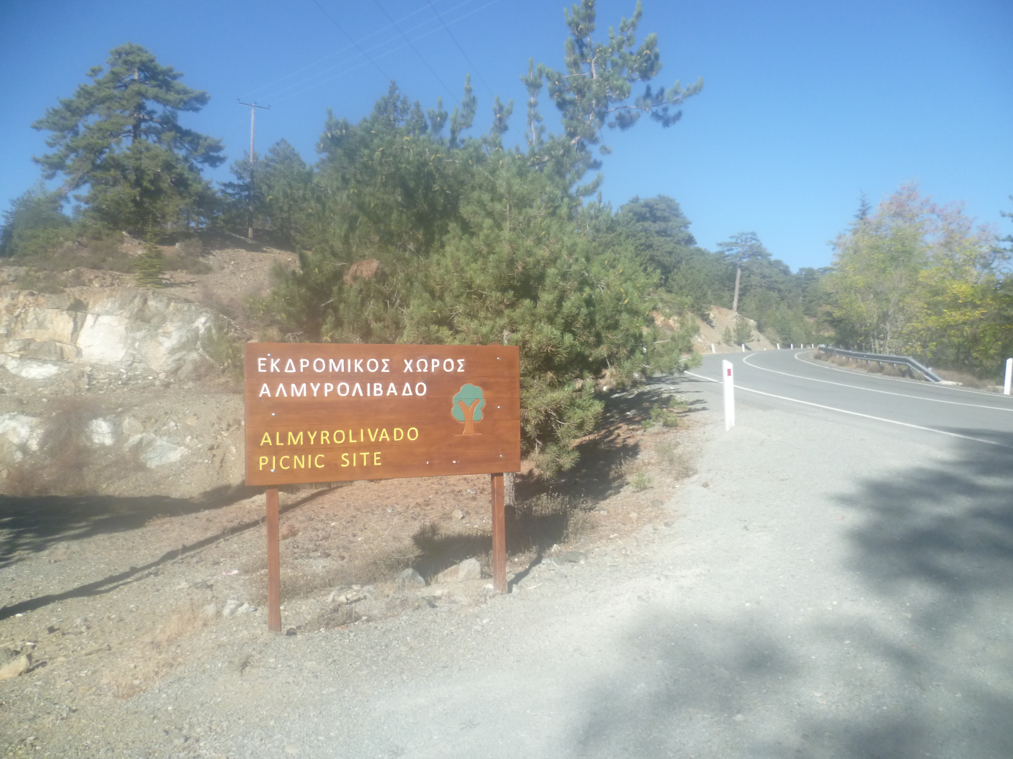
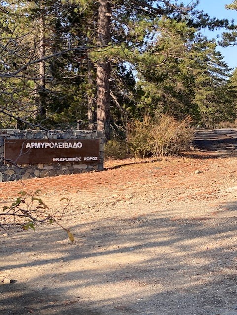
At Almyrolivado, park in the ‘car park’ (a large dusty gravel area) and then cross a small concrete bridge to walk to the large brown ‘ALMYROLIVADO’ sign at the back. Ignore the left-hand track at the sign board and set off along the old Troodos road straight ahead.
As you set out, notice the area on your left enclosing a large section of grass, not something you often see in Cyprus. The fencing around much of this area protects some precious peat grassland, a rare habitat on the island.
As you walk along this quiet old road gradually being reclaimed by nature, look out for Bonelli’s Eagles soaring high above you and imagine the days – not so long ago – when this narrow, winding – and occasionally precipitous – route was the only way to approach Troodos from Nicosia. How times change!
This is easy walking with some good early views across to the white “golf balls” that mark the Troodos summit. You really can’t get lost on this clear road and as the day progresses the views will get progressively better!
Follow the old Troodos-Nicosia road up to the point at which it rejoins the B9 (30 minutes). Turn right here and walk along the comparatively quiet B9 for a short distance – no more than 100 metres. You will pass a spring on your left and shortly afterwards, also on your left, will reach the entrance to the Kambos tou Livadiou picnic site and nature trails. (35 minutes).

Turn left into the site and walk a few metres up the asphalt road until you see two signposts, one pointing left to trails 1 & 2, the other straight on along the road to trail 3.
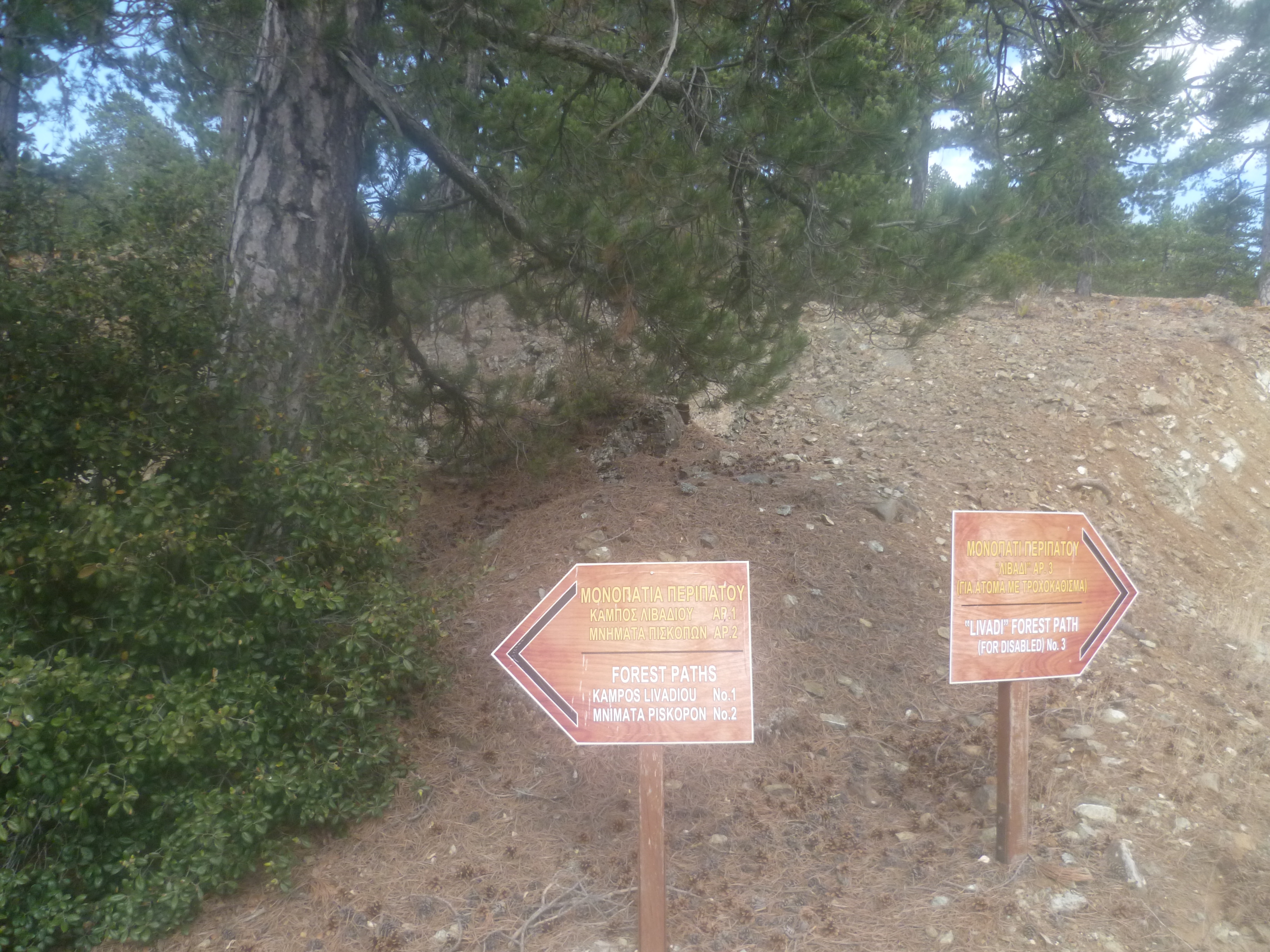
This walk will, for the most part, follow Trail 2. So turn left at the signposts and follow the path (marked as ‘Trails 1 & 2’) as it heads into the pines. You will very quickly come to a trail board on your left which marks the officlal start of both trails (37 minutes).
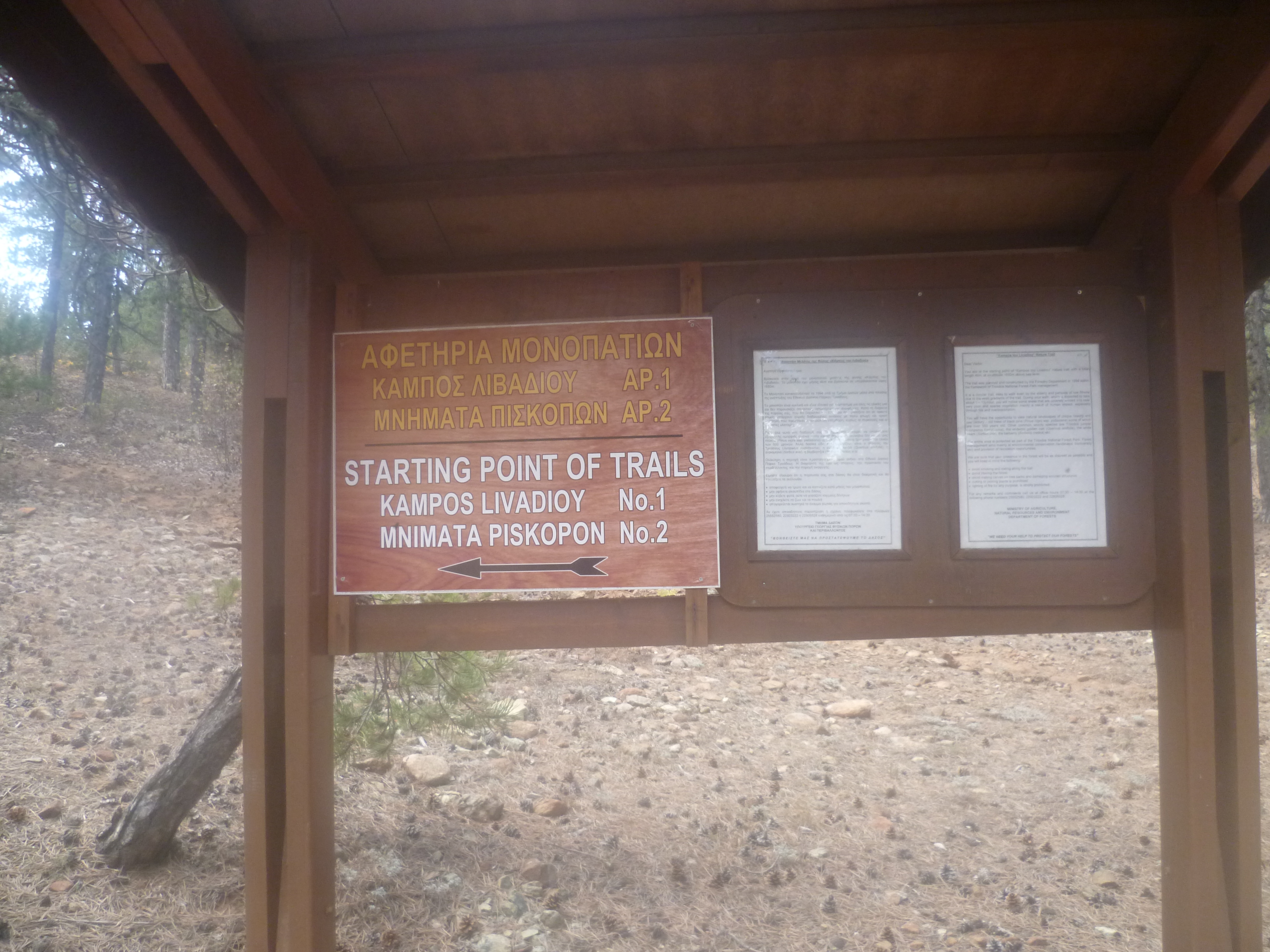
Turn left at teh trail board as indicated. You’re now walking at an altitude of 1,650 metres, not far below the island’s high point at around 2,000 metres.
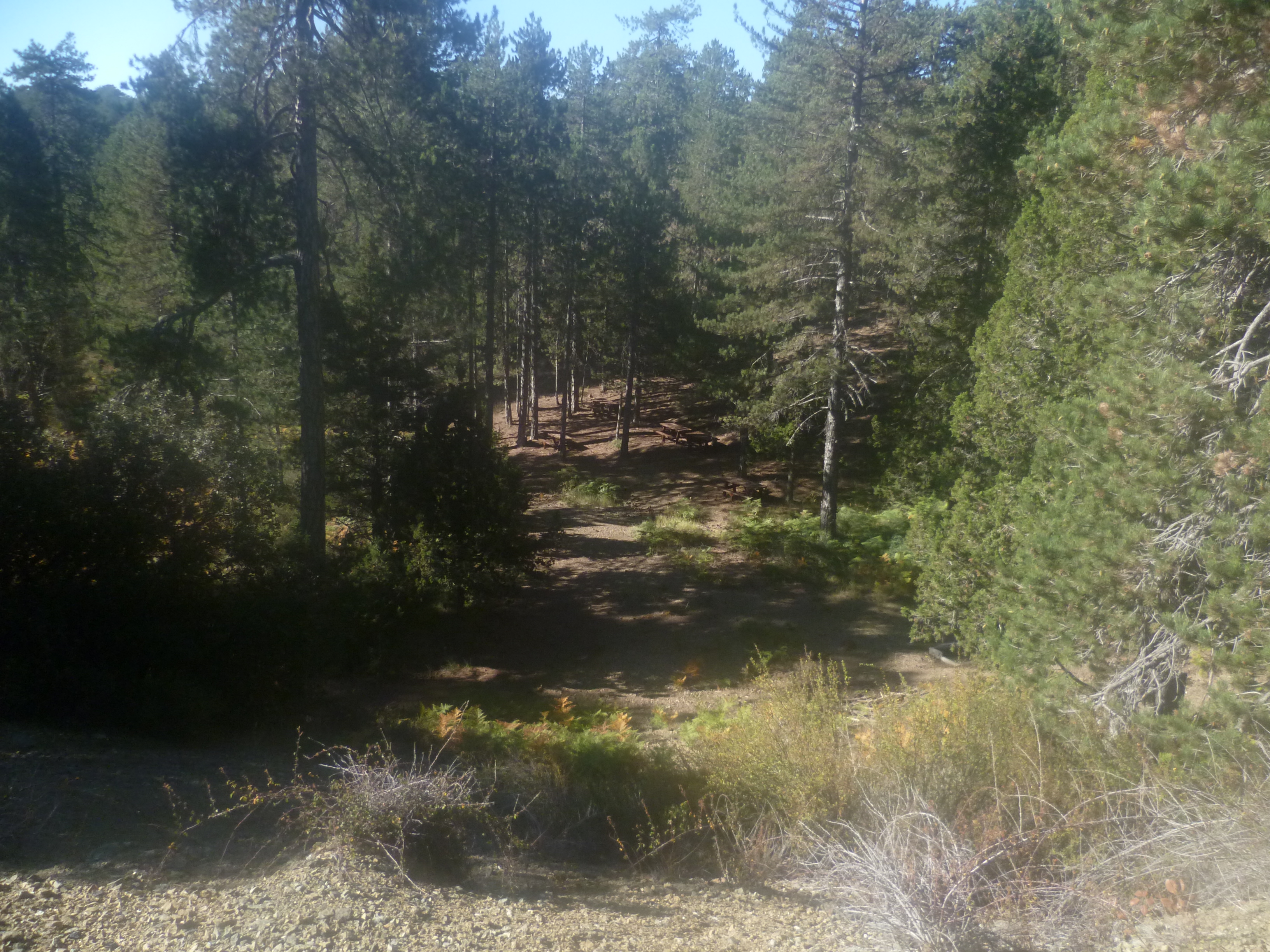
You will pass strategically placed picnic benches and a concrete block housing toilet facilities as the path initially winds around the south-western contours of the mountain. After 20-25 minutes you will briefly emerge uphill out of the pines into the open where you’ll get a clear view of Mount Olympos high above to your left with the deep river valley plunging below you.
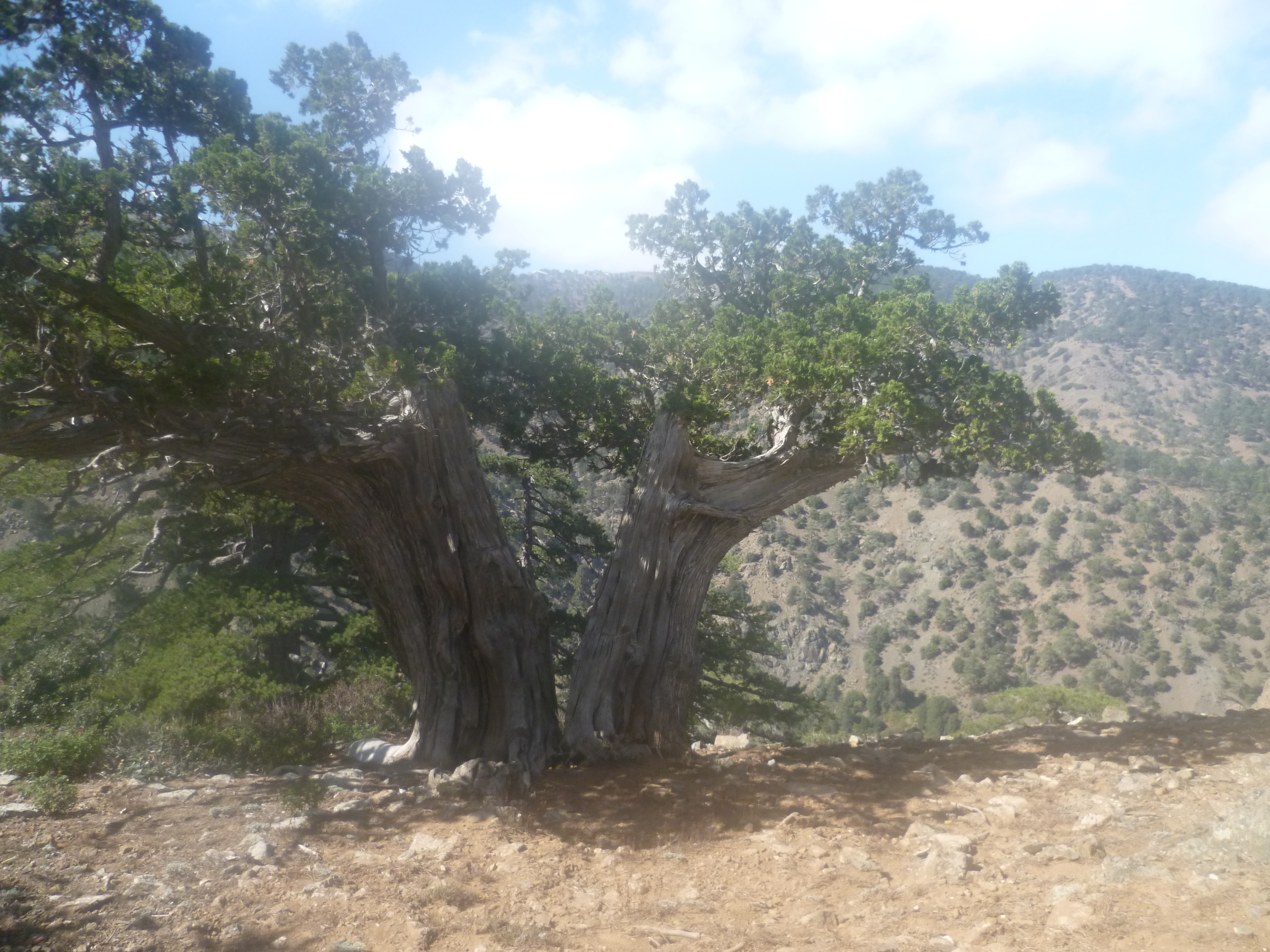
At 1 hour 10 minutes, as you continue following the marked trail, you’ll pass the thick trunk of a pine tree on your left, still thriving but cleft in two by a lightning strike – a dramatic foreground to more views of Mount Olympos. And of course an absolute no-brainer for a photo opportunity!
Your path winds round to the northern side of the mountain contour, passing a bench and an impressively steep drop to your left (don’t go too close!).
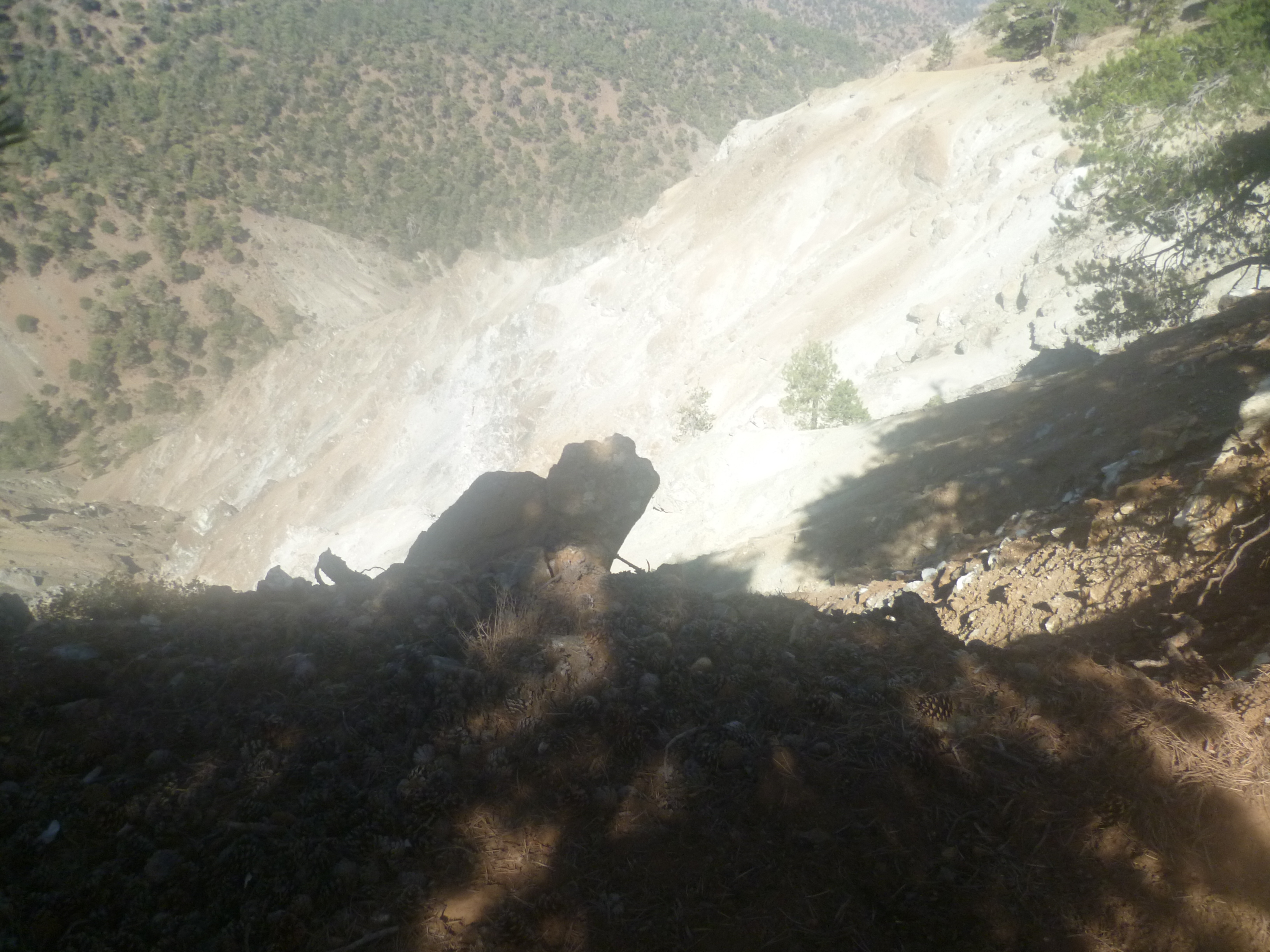
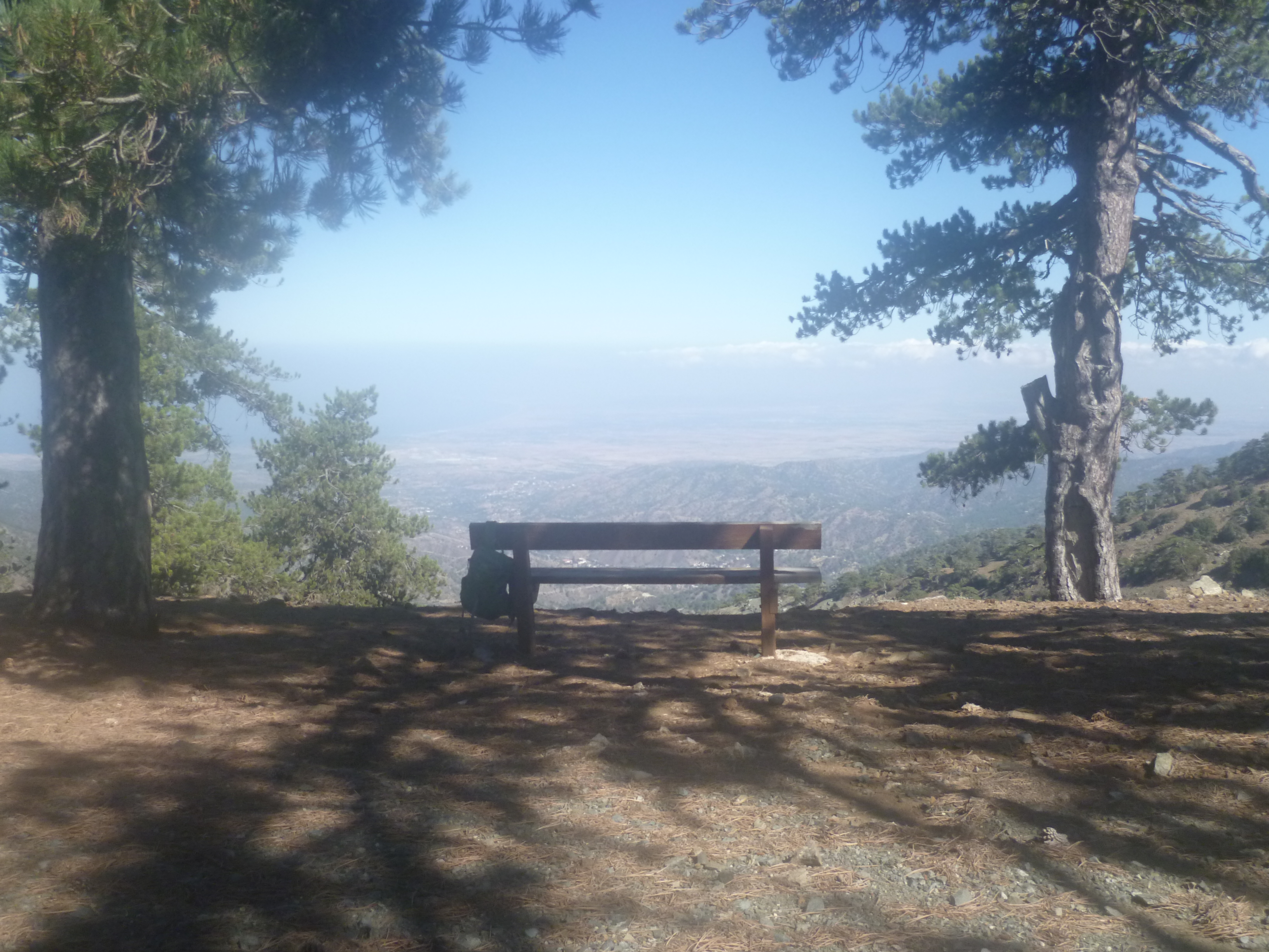
Some 50 metres beyond the bench there is a faint crossroads: carry on straight ahead (don’t be tempted by a possible left turn) following painted rock indicators on the ground before climbing uphill to a view-point where there is wooden bench (1 hour 20 minutes). It really is worth resting awhile here to enjoy the breathtaking views down the valley to the spa town of Kakopetria and across to Morfou Bay and the Mediterranean Sea beyond the northern coast of the island.
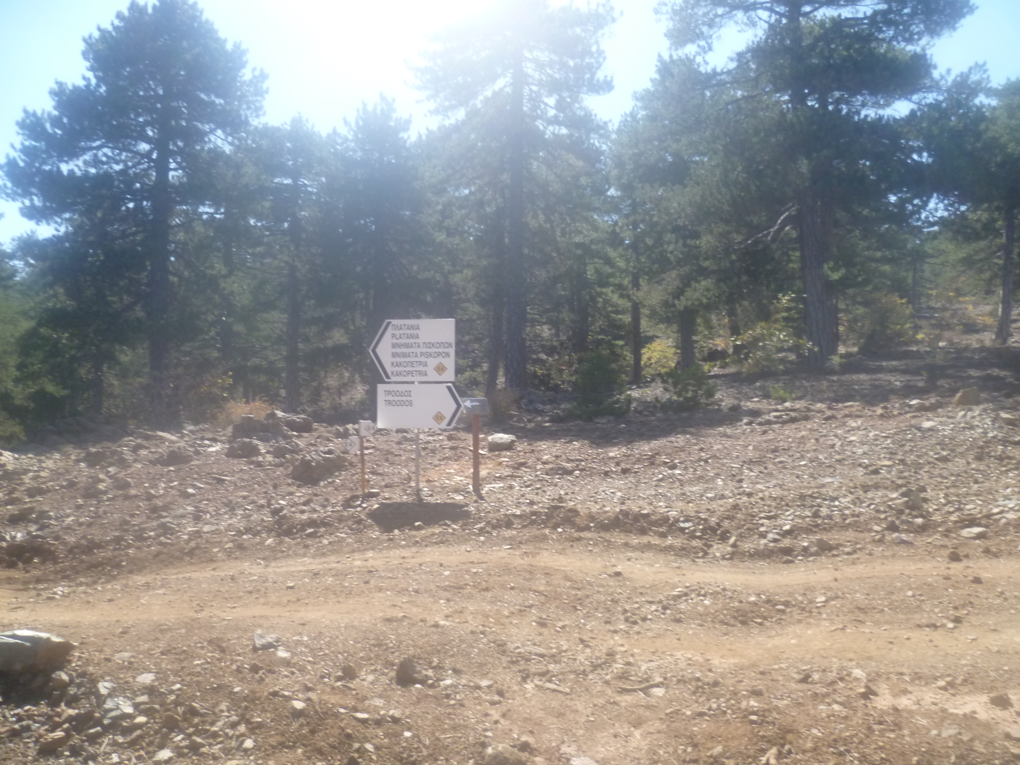
When you are ready to carry on, follow the track behind the bench to reach a junction. With the viewpoint behind you, turn to your left following the yellow signs on the tree in front of you and continue eastwards along Trail 2 as it follows the contours around the mountainside. In a minute or two you will see a signpost indicating Mnimata Piskopon (Piskopon footpath) and Kakopetria. This is your route.
You will head north, then east through quiet, mixed pine forest where young cedars have been planted amongst the black pines to help with re-forestation. At 1 hour 31 minutes ignore a track to the right. A few metres further on an E4 sign fixed to a tree followed by a wooden bench in a large clearing will confirm your route. Continue following signed waymarks and E4 route markers.
At 1 hour 43 minutes you will come to a T-junction. A large white signpost for the E4 long distance path points left to Kakopetria and right to Troodos. Turn right to join the main E4 route back towards Troodos.
Follow this signed forest track through the trees until it emerges to join a small asphalt road, still the E4, at 1 hour 51 minutes.

Turn right here (don’t go left – this is a restricted military area!) and walk down the deserted asphalt road. After about seven or eight minutes you will find yourself back at the start of the Kambos tou Livadiou nature trail board. (1 hour 59 minutes)
From here it is a fairly simple process to retrace your steps, crossing the B9 road and heading downhill for a few minutes before turning left and walking back along the old Troodos-Nicosia road. You should arrive back at the Almyrolivado picnic site in around 2 hours 30 minutes.
If you haven’t yet had your picnic you can head downhill for a few metres where there are plenty of benches and tables in the trees overlooking the grasslands.
Birds seen on this walk: Alpine Swift, Blackbird, Blackcap, Bonelli’s Eagle, Chaffinch, Coal Tit, Cyprus Wheatear, Goldfinch, Great Tit, Greenfinch, Grey Wagtail, Hooded Crow, House Martin, Jay, Northern Wheatear, Pied Wheatear, Short-toed Treecreeper, Tree Pipit, Wheatear, Whinchat, Willow warbler, Wood Pigeon, Wren.
