Akapnou – Vikla – Akapnou
Date last walked: February 2026
Distance: 5 miles (8 kms)
Duration: 2 hours 5 minutes (without stops)
Difficulty: Easy. Steady climbs, nothing very steep. Very little shade
GPX file available on request
Comments: This walk offers an easy way to see some very picturesque scenery in the foothills of the mountains. You will walk through sleepy villages and quiet countryside, partly on earth roads. NOTE: This area is popular with hunters so it’s best to avoid Wednesdays and Sundays (permitted hunting days) during the hunting season, mid October to the end of December.
Points of interest: the ruined village of Vikla, the restored church of St John at Vikla, the Venetian Bridge at Akapnou, shrines to Agia Paraskevi and Agios Andreas. The mixed habitat is excellent for birds, especially around the stream beds at a number of points during the walk.
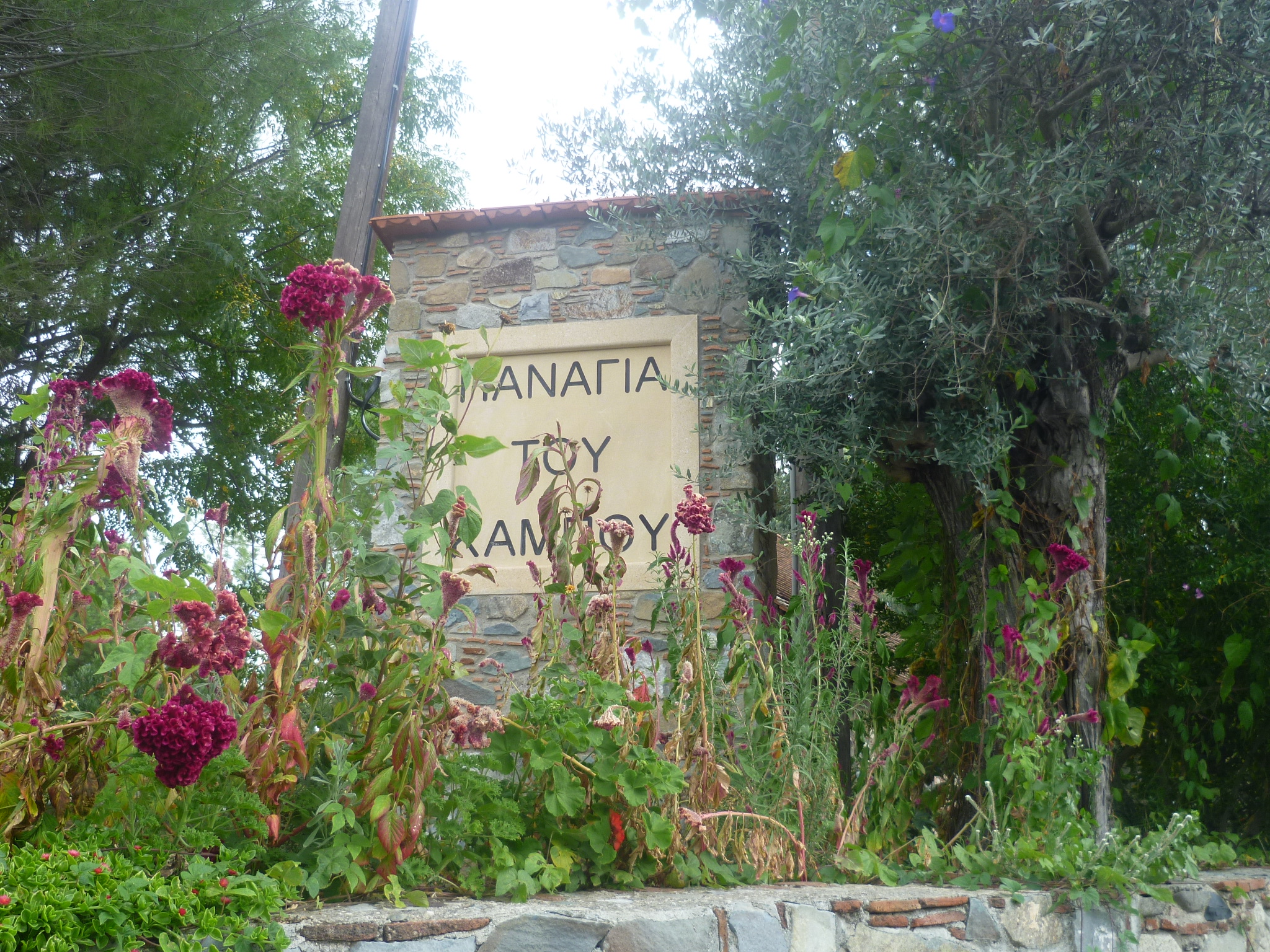
Driving from Eptagoneia on the F124 you will pass The Shrine of the Sacred Earth on your right just before you come into Akapnou. About 50 metres further on you will see signs welcoming you to Akapnou and, on the left of the road, the church of Panageia tou Kampou where there is a small picnic area and plenty of space to park your car.
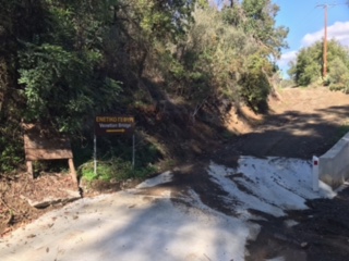
On the opposite side of the road (across from the blue road sign welcoming you to Akapnou village) there is a small concrete road leading downhill to a stream bed. Take this path and cross the stream – usually very shallow, or even non-existent. However, do be aware that after heavy rain this stream may not be not fordable or will require sturdy boots to get across. If that is the case then you may want to try a different starting point – see the alternative option at the end of this page.
Follow the track uphill on the other side of the stream. Ignore any small tracks to the left or right. After 5 minutes your path meets a wider track at a T-junction. Turn left here onto the track.
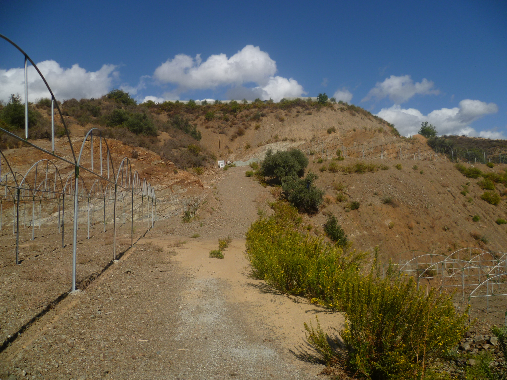
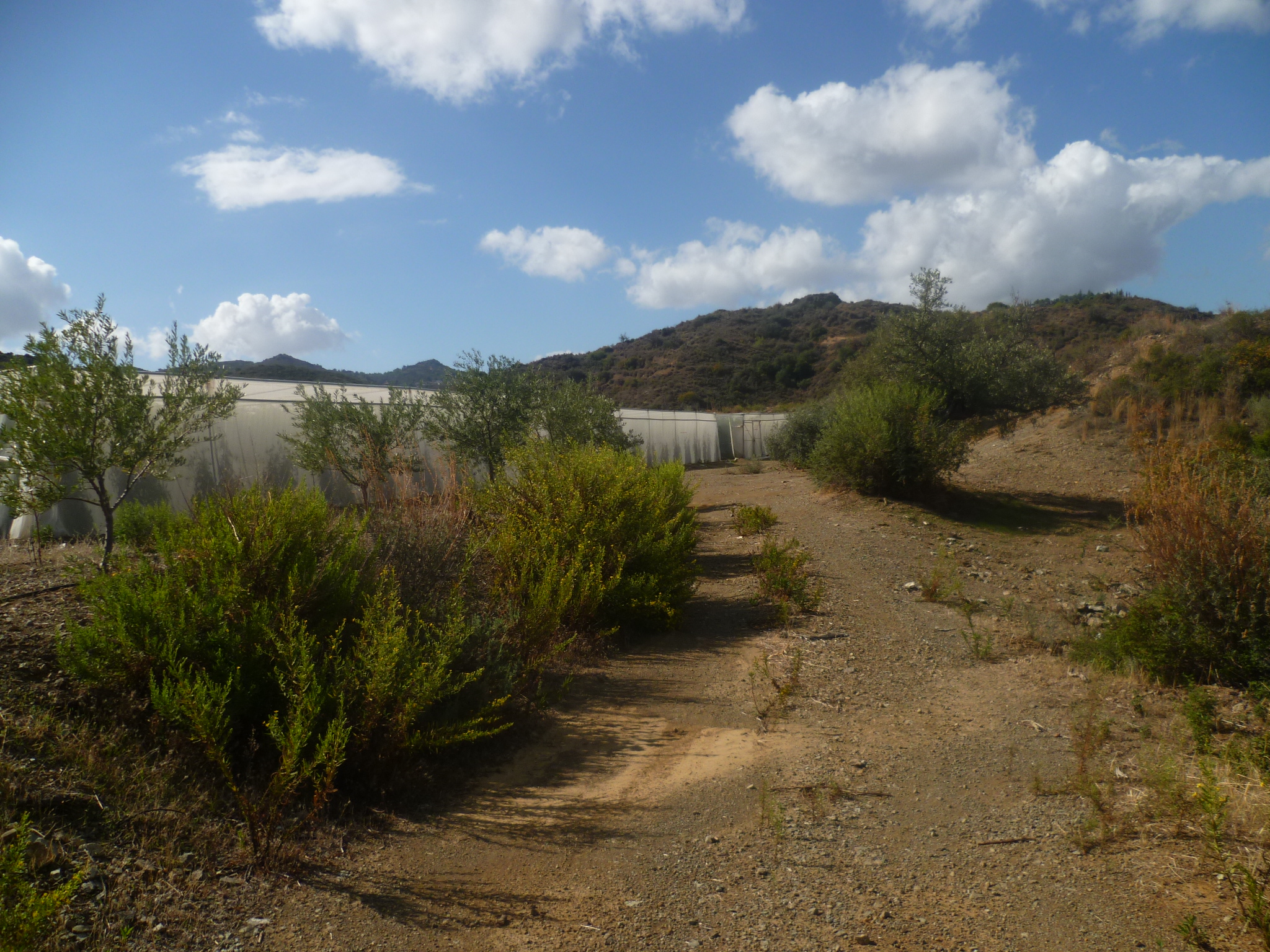
Follow this track as it bends left, drops downhill, passing a tall reed bed on your right hand side, then climbs up again becoming a concrete track. [Note – the alternative start point joins here from the left] Continue along this as it passes a stand of tall eucalyptus trees on your right and becomes a gravel track. At 15 minutes you will come to an area of terraced fields with metal agricultural frames (sometimes covered in mesh to form greenhouses). Your path turns right in front of the second set of frames and runs along the bottom of the second terrace, then uphill.
If you look to the top of the hill you should be able to see some frames, sometimes covered in nets, where tomatoes are grown. Your path climbs to here and turns left past the frames.
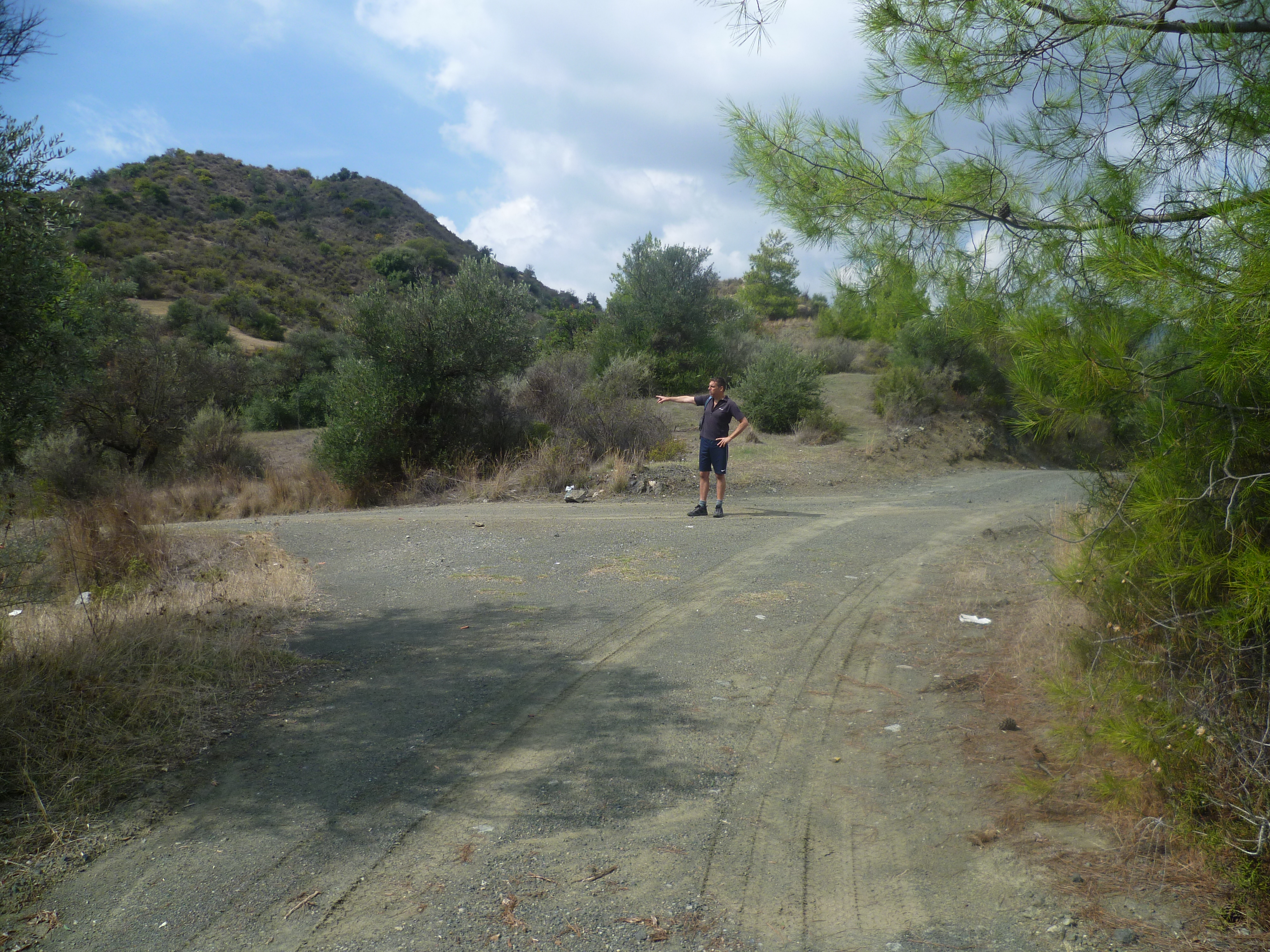
As you walk past this (20 minutes) you will see the village of Eptagoneia in the distance to your right and your path winding around the hillside to your left. You will fairly swiftly come to a T-junction. Turn left…
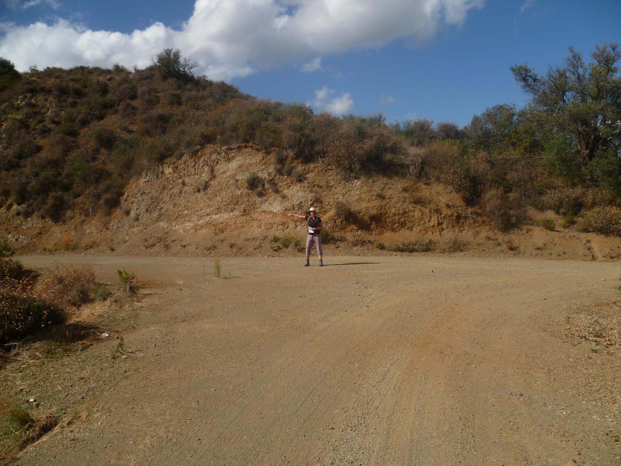
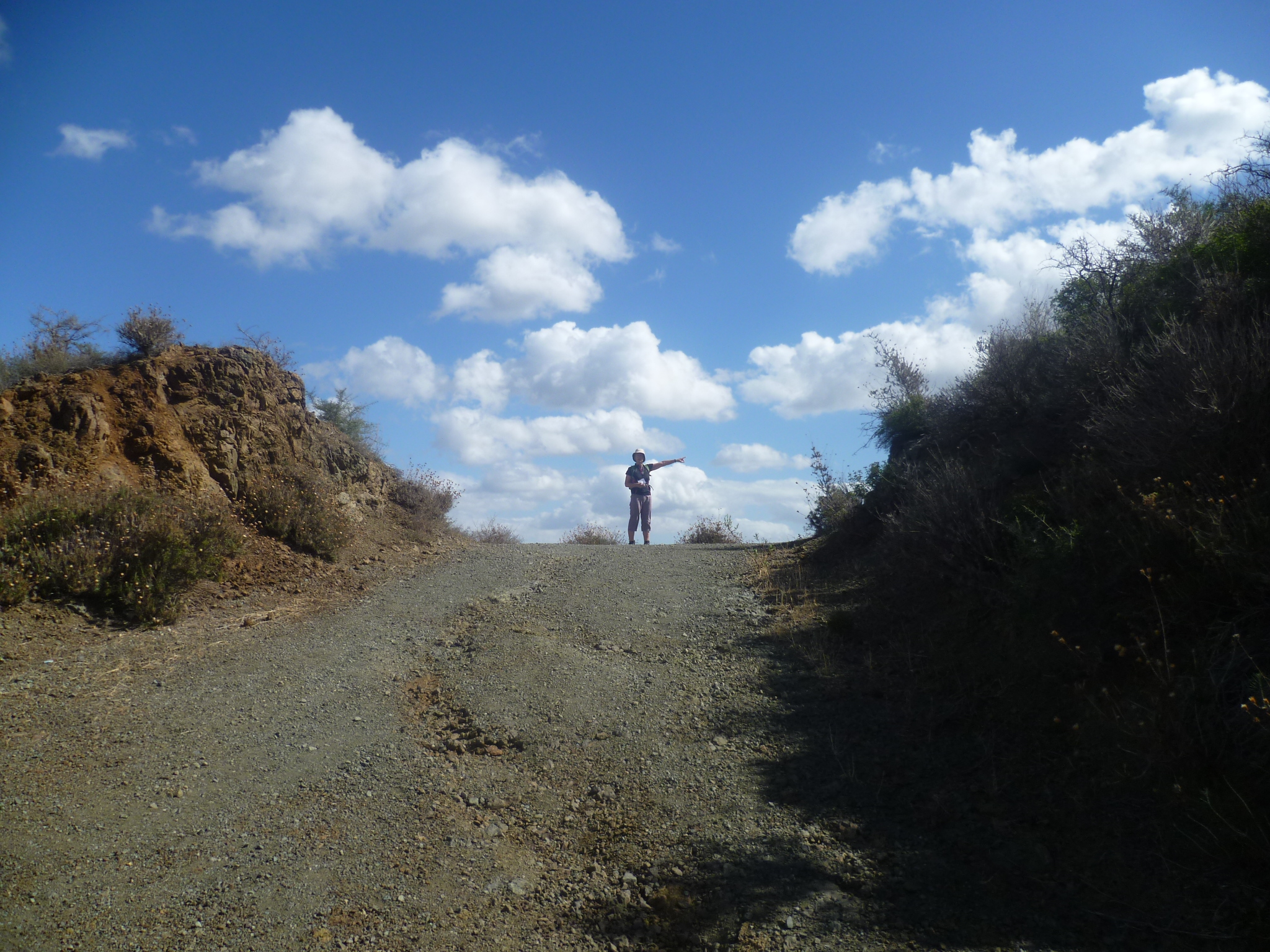
…then follow the path as it drops downhill, eventually ignoring a track to the right and crossing a stream bed before climbing through an orchard of olive trees. You will reach a junction at 30 minutes [GPS: 34.50039N, 33.10434E] where the main track bends right and another track comes in from the left. The left hand track leads to a small building with a red roof about 200 metres away. Your route is on the main track, so follow this to the right, continuing to climb gently, curving round and upwards towards a saddle. As you pass this saddle you come to another T-junction (35 minutes). Go right here…
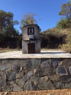
..and, following the path round and onto a concrete path downhill, a few minutes later you will pass a small shrine to Agia Paraskevi on your right.(40 minutes) [GPS 34.49760N, 33.10593E]
There is a clear right turn about 100 metres beyond the shrine which you should ignore. Instead, carry straight on along the earth track as it climbs then descends past a couple of habitations on your right. You will reach a wooden picnic shelter with drinking water where the track meets the road into Klonari (50 minutes) [GPS: 34.49570N, 33.10793E]. Turn left and walk along the very quiet asphalt road into Klonari, passing Agios Nikolaos church on your left.
Walk through Klonari, veering right and following the signs towards Vikla and Vikla Golf Club.
The asphalt surface used to run out just after you left the village but the old gravel road has recently been upgraded. There is now a deserted asphalt road which runs the 1.6 km to the golf club!
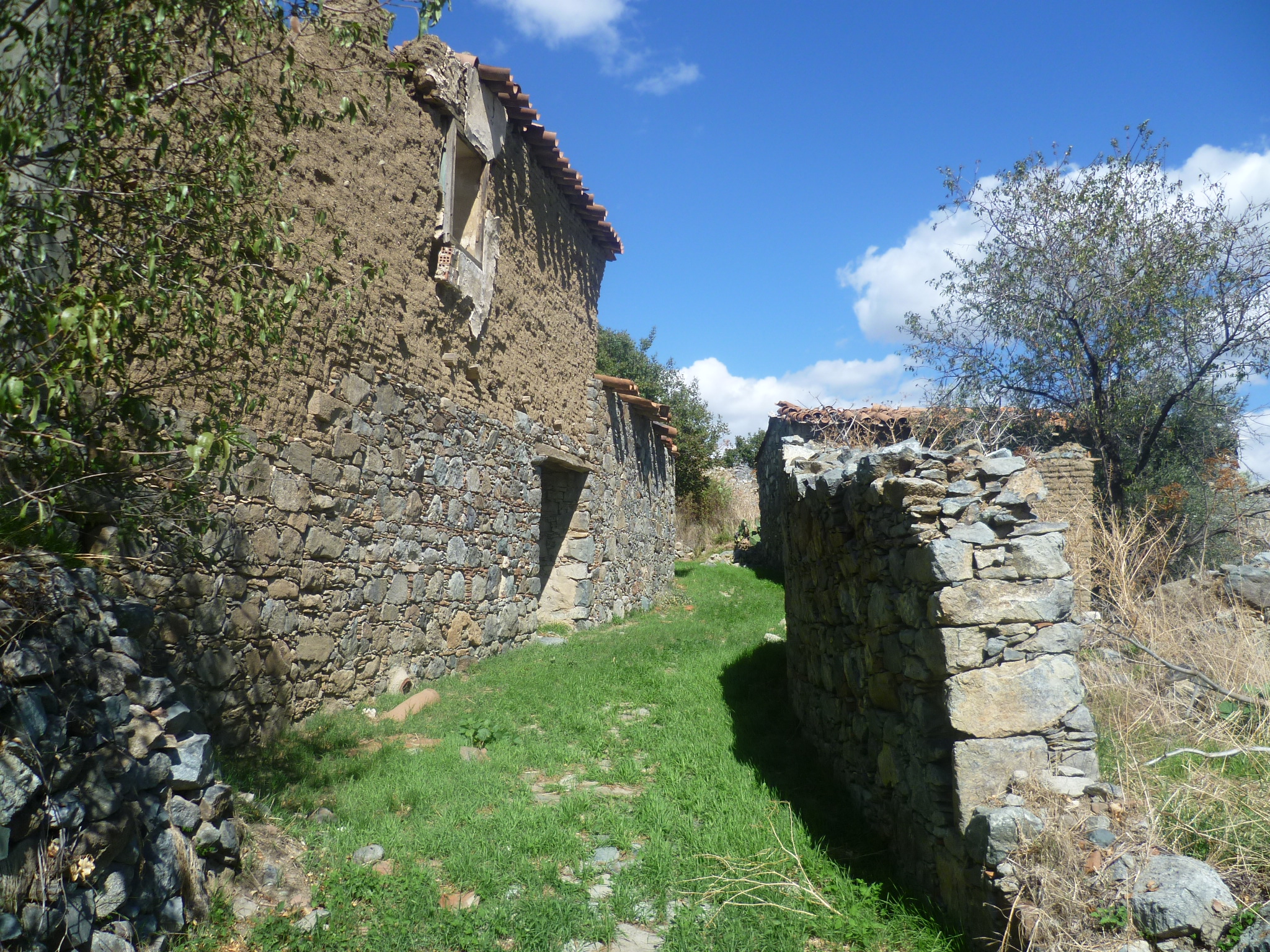
The road bends left to cross a stream and soon afterwards you will pass the entrance to the Golf Club on your right. (1 hour 10 minutes). Carry on along the road and about five minutes later you reach a sort of farmyard where a sign points left to Akapnou.(1 hour 15 minutes) Walk straight past this, with the farmyard to your left and you will be in the ruined village of Vikla where you can stop for a rest in the shade next to the church.(1 hour 20 minutes) [GPS: 34.49661N, 33.11760E].
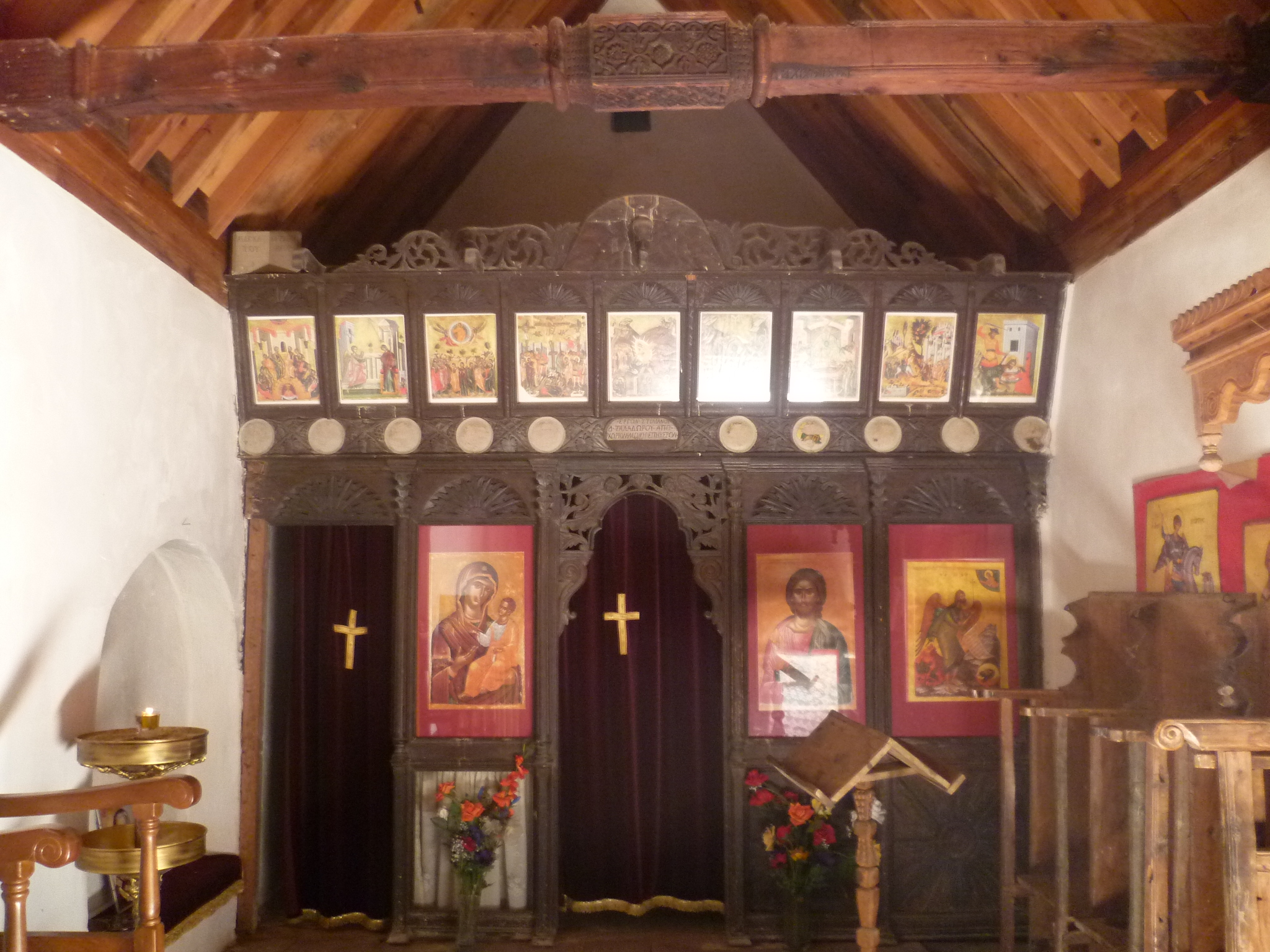
The church is dedicated to St John and has been nicely restored, with a nearby shelter and picnic tables. It is usually open and is well cared for. When we were here in November one year a pair of local ladies arrived with a pick-up loaded with plastic chairs and buckets of roses. They press-ganged us into helping set up the church in readiness for the feast of St John on 12 November.
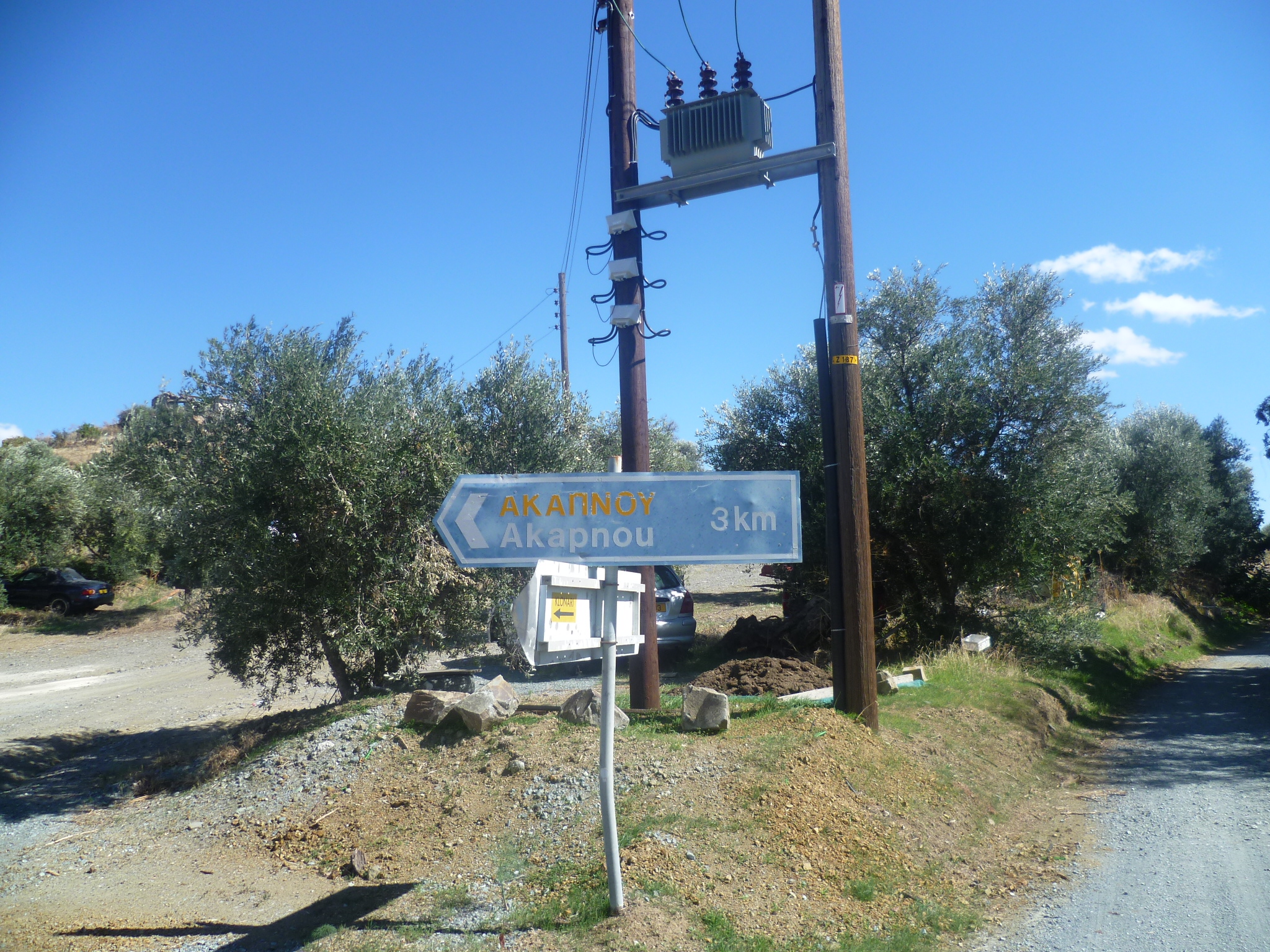
When you are ready to leave, retrace your steps to the farmyard junction and to the signpost – ‘Akapnou 3 km’.
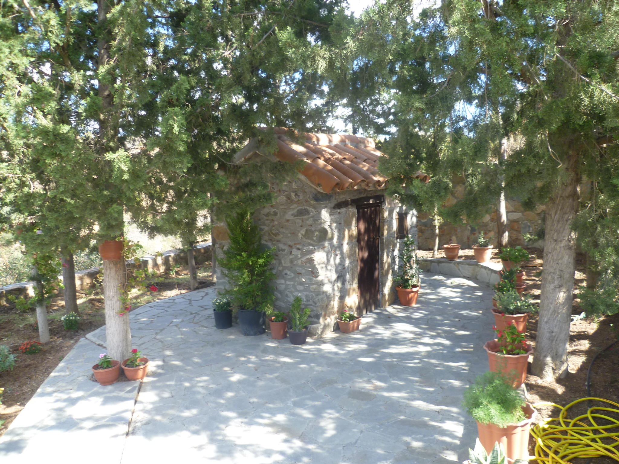
Just follow this earth track downhill towards Akapnou, which you will soon see ahead of you in the distance. At 1 hour 40 minutes the track crosses a stream bed – this is set next to an old stone bridge on the left which collapsed in 2015. Continue on to Akapnou, walking alongside a steep drop and a stream below you on your right. You will pass a tiny church or shrine set among pine trees and dedicated to St Andrew. (1 hour 45 minutes).
As you reach the outskirts of Akapnou, cross the stone bridge [GPS: 34.50184N, 33.11282E] over the stream and walk uphill. At the road sign to the village take a crazy-paved path off to your left (1 hour 50 minutes) Walk up and through this pretty village – with a friendly cafe! – until you emerge onto the Eptagoneia road, which you will follow to return to your car.
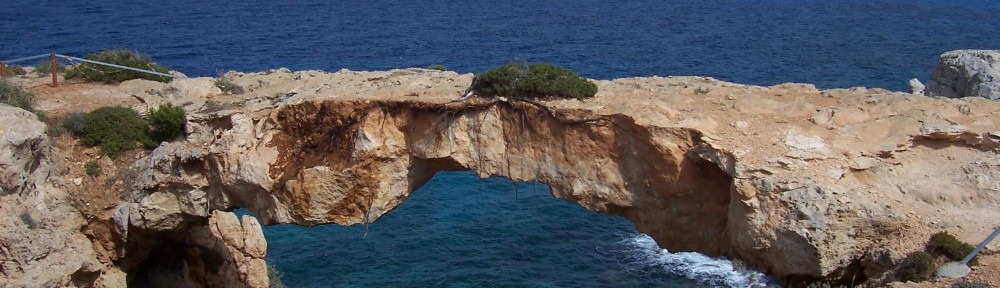
As you leave the village on a downhill road you will pass a sign on the right hand side which points the way to a medieval bridge [GPS: 34.50485N, 33.11148E].
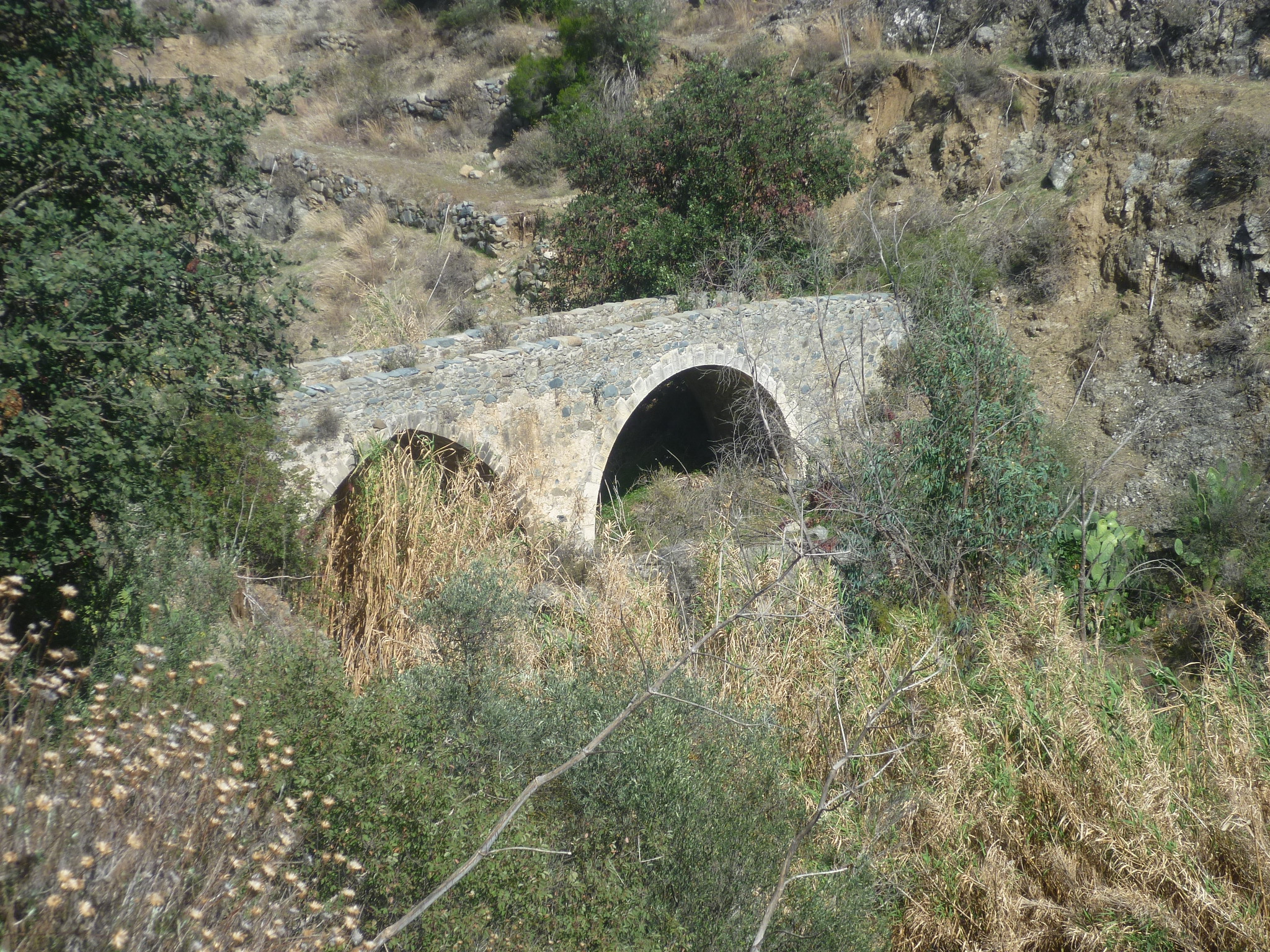
This is well worth the 200-metre detour from the road and is a good place to sit and admire the scenery.
Finally, return back to the road and walk for approximately 10 minutes back to where you parked your car.(2 hours 5 minutes)
NB – the timings are fairly generous but they do not include any lengthy stops or detours.
Alternative Starting Point: If the stream at the usual start point cannot be forded then you can begin the walk at the 1 hour 45 minute point, parking up at the church dedicated to St Andrew [GPS: 34.50173N, 33.11350E]. Opposite and slightly downhill from the church there is an earth track next to a 40km road speed sign. Take this track and follow it, with the river gorge to your right. After approximately eight minutes you will reach a junction – continue following the main route to the right as it climbs upwards (diverging slightly from the river gorge) until, after approximately 20 minutes, you reach a junction [GPS: 34.50278N, 33.10617E]. This links you back to the main walk just after the 5 -minute point where the path passes tall reed beds and turns into a concrete track. Turn left onto the concrete track and now carry on following the main walk as indicated in the main text above.
Birds seen on this walk: Blackbird, Blackcap, Chaffinch, Chukar, Coal Tit, Corn Bunting, Cyprus Warbler, Goldfinch, Great Tit, Greenfinch, Hooded Crow, House Sparrow, Jackdaw, Kestrel, Linnet, Magpie, Montagu’s Harrier, Pied Wagtail, Redstart, Robin, Rough Legged Buzzard, Sardinian Warbler, Serin, Siskin, Skylark, Song Thrush, Stonechat, Tawny Pipit, Wheatear, Willow Warbler, Woodlark, Wood Pigeon, Wren.
