PSILO DENDRO – MESA POTAMOS – AMIANTOS – PSILO DENDRO
Date Last Walked: March 2026
Distance: Approximately 15.5 miles (26 kms)
Duration: Approximately 6 hours without stops (less in cooler weather!) Add around an hour if you want to include the Loumata tous Aetous nature trail in Amiantos.
Difficulty: Numerous gentle climbs and descents. Quite a steep climb on asphalt road halfway through the walk – nothing too hard. Plenty of shade throughout the walk.
GPX file available on request
PLEASE NOTE: AS AT MARCH 2026 THE TRACK IS CURRENTLY CLOSED BEYOND THE SEK CENTRE DUE TO BONELLI’S EAGLES BREEDING GROUNDS. THE TRACK IS ONLY OPEN IN THE MONTHS OF OCTOBER, NOVEMBER AND DECEMBER EACH YEAR.
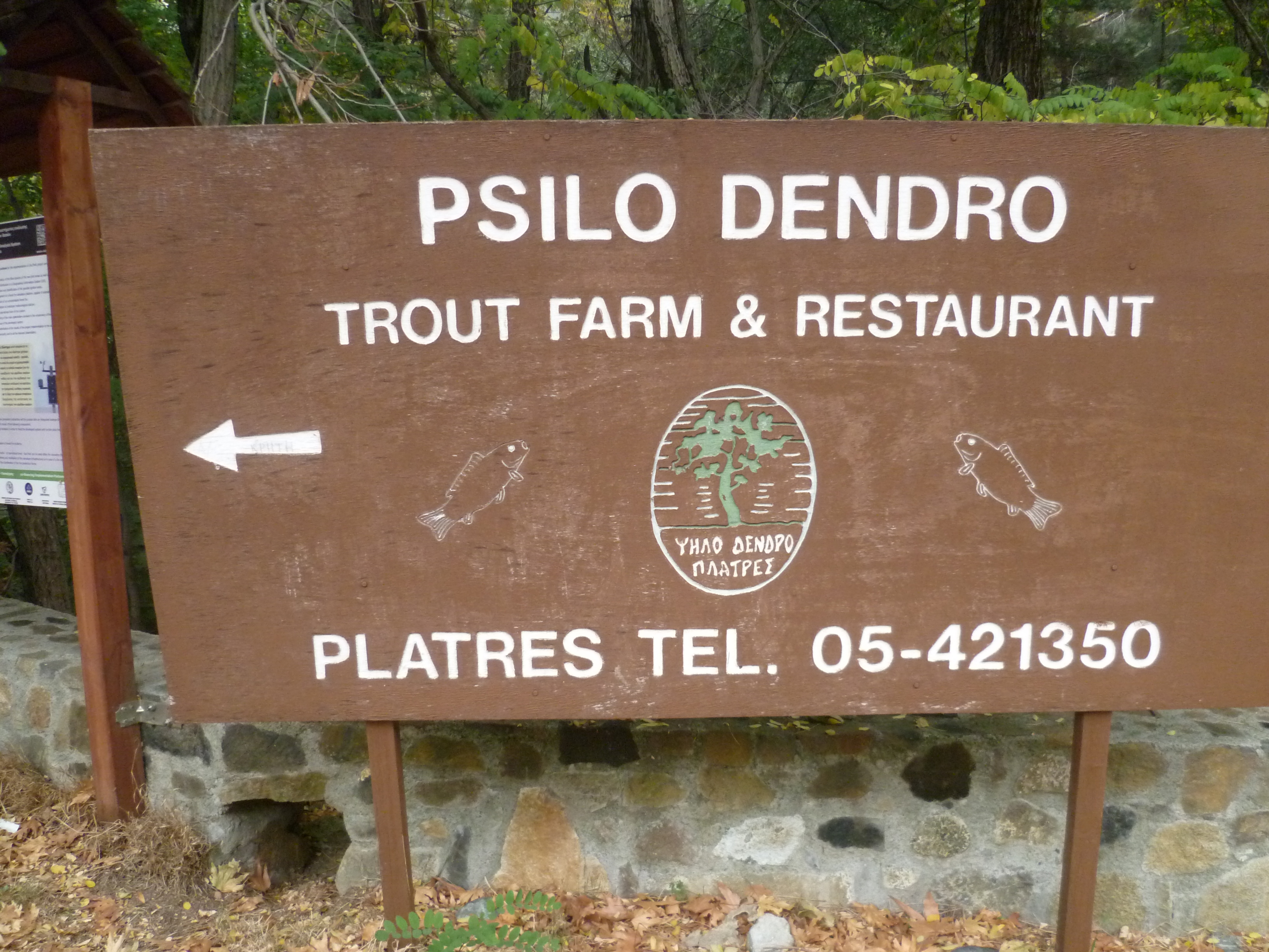
The walk starts at the Psilo Dendro nature trail board located just off the main B8 Limassol-Troodos road, above Pano Platres. There is (free) car parking alongside the entrance to the trout farm.
The GPS co-ordinates for this starting point are: 34.53752N, 32.52108E
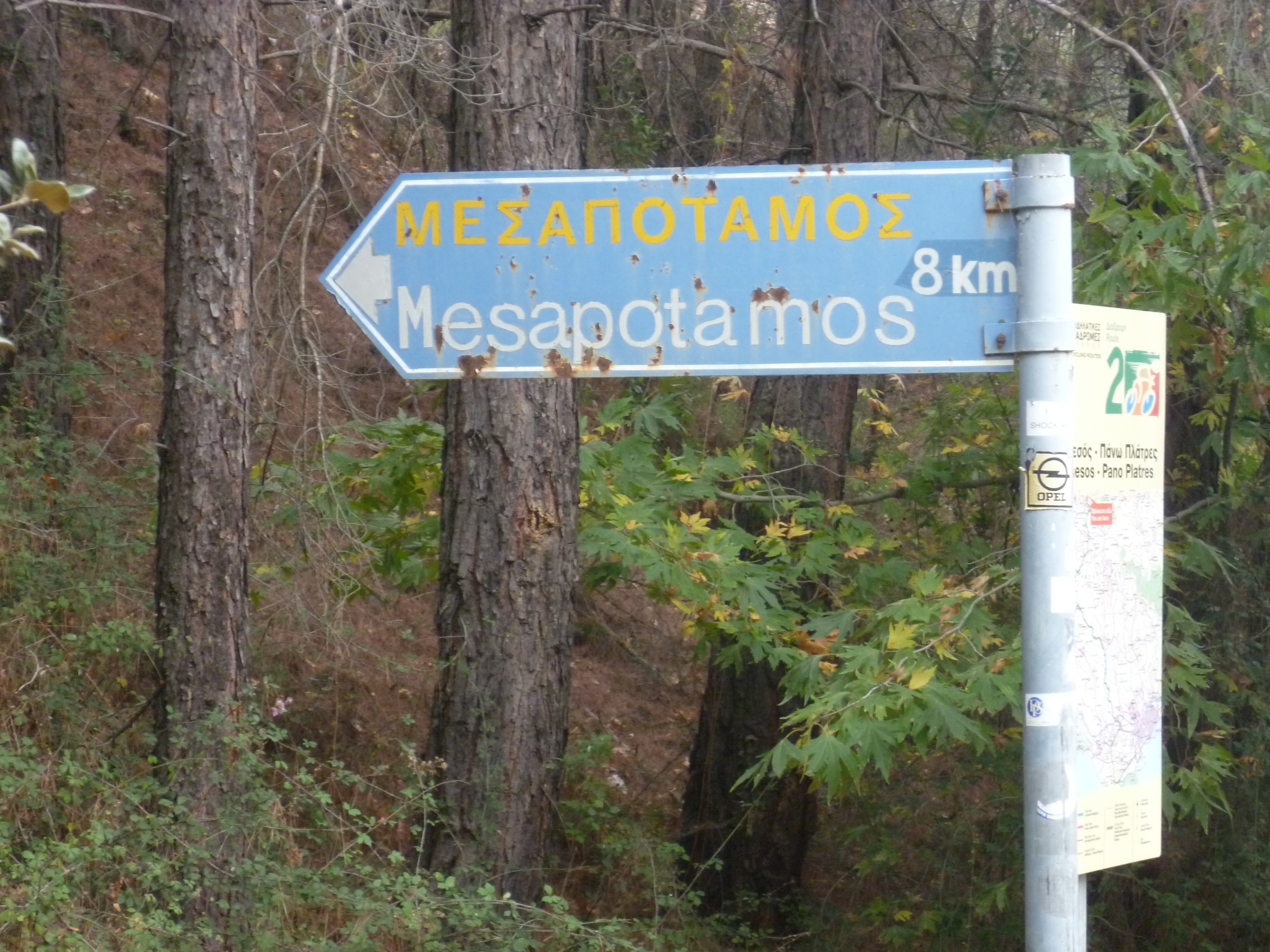
From the car park step back onto the road, turning left and walking a few steps to find your start point at the blue sign directing you to Mesapotamos [MP]
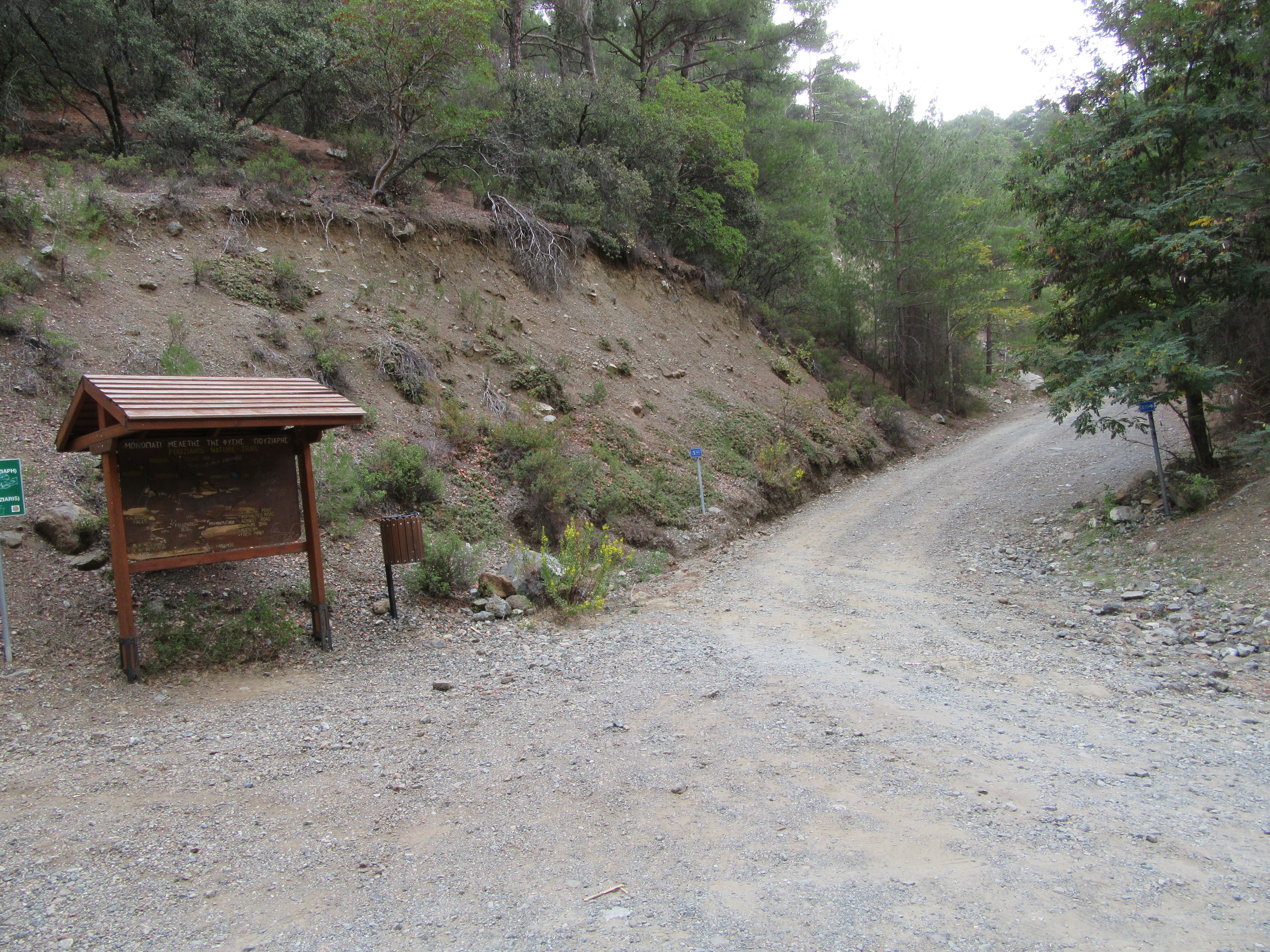
Just off the road you will see a brown nature trail board for the Pouziaris trail. Follow the wide earth road which leads right from here.
This heads uphill at an easy gradient for a short distance, then gently downwards for the easy 8km walk to Mesa Potamos. The path is also a designated cycle path with regular signboards and shelters (although we have never seen any cyclists when we have walked this route) so there is little chance of getting lost. Do ignore any tracks to left or right.
You are walking at an altitude of around 1,150 metres with good views through the trees to your right. After about 1 hour of easy contour walking you will pass a green signpost indicating ‘Mesa Potamos 2km’ [GPS: 34.53543N, 32.54043E]

A couple of minutes later note a strong track heading upwards to your left. Ignore this track for now and carry on following the main path – but later in the day you will return via this track.
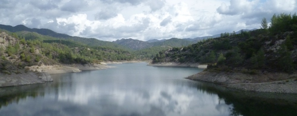
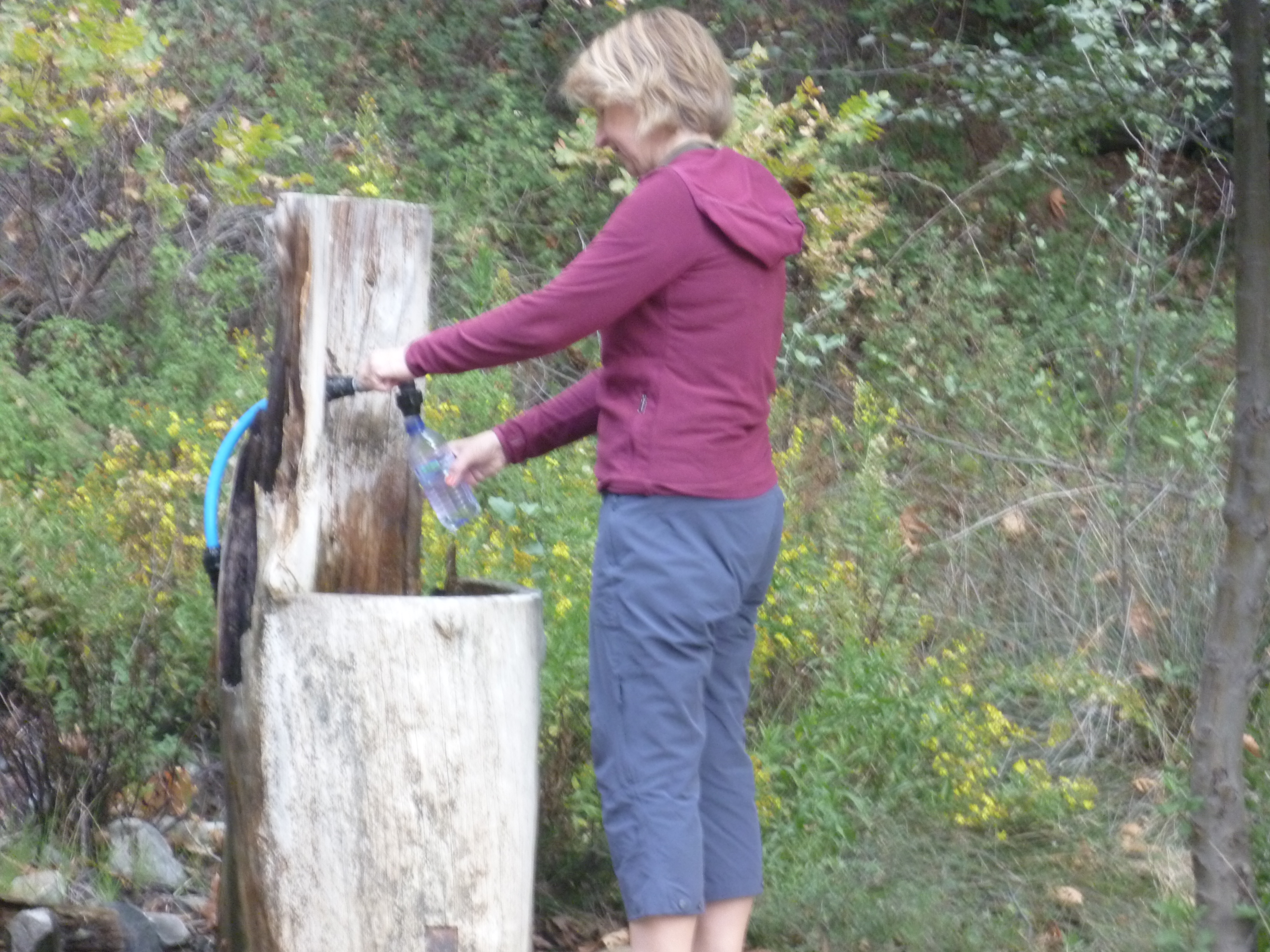
At approximately 1 hour 10 minutes the earth track becomes an asphalt road and, following this left around the mountain you will shortly be able to see Mesa Potamos monastery to your right and ahead in the distance. A further 10 minutes’ walk will bring you to the Archolakania picnic site and a spring (1 hour 20 minutes), with plenty of shade and an opportunity to refill water bottles. [GPS: 34.53694N, 32.54321E] The monastery itself is just beyond the picnic site (1 hour 30 minutes).
Just beyond the monastery, there is a sign to ‘Platres 7km’ to the right and to ‘Amiantos 7km’ to the left.
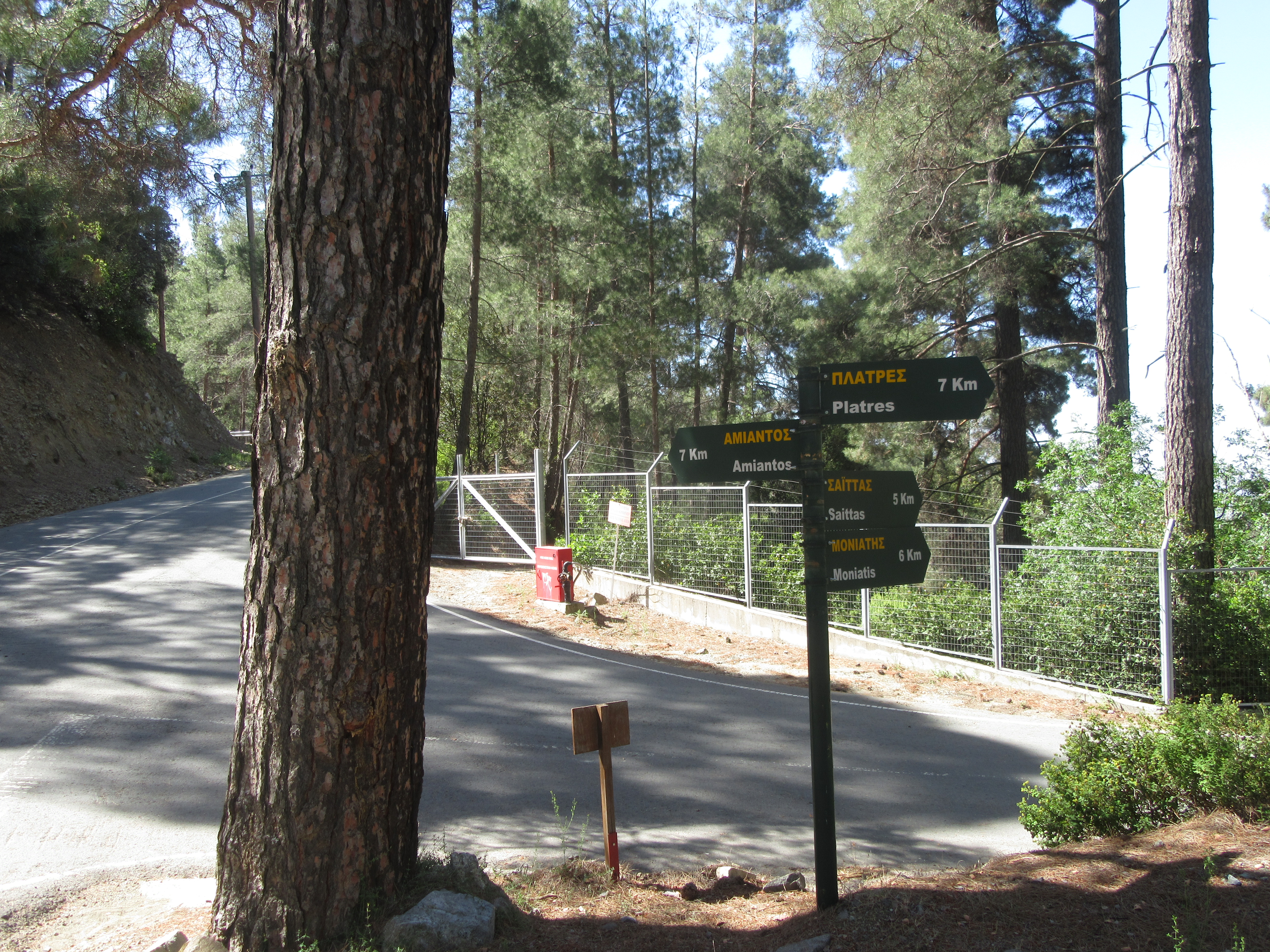
Take the road eastwards towards Kato Amiantos.
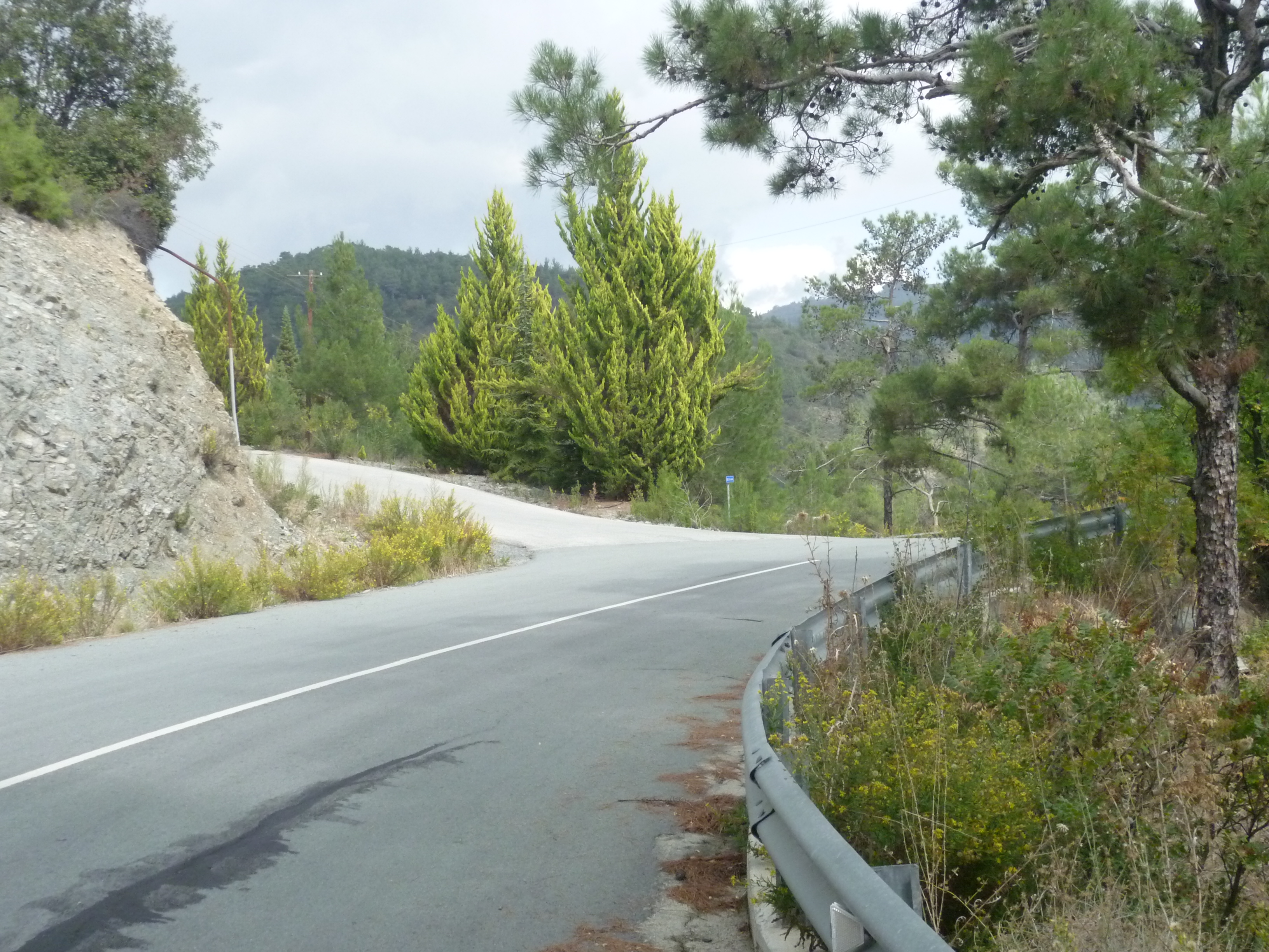
This is a straightforward walk along an asphalt road. There is virtually no traffic (just the very occasional Forestry Department truck) and there are some lovely views across the valleys and foothills to your right. On the outskirts of Kato Amiantos (2 hours 40 minutes) at a point where telegraph wires cross the road, there is a turning uphill to the left. This is Makarios Street (although there is no street name sign until you reach the other end) GPS reference is 34.54766N, 32.56320E
Follow Makarios street (quite steeply uphill) passing some rather nice houses on your left and right and with the village of Kato Amiantos initially below you and to your right. The road continues climbing, then curves around and down until you come to Nikou Nikolau Street on your left (2 hours 55 minutes). Turn down here between two houses and, after a few metres, left up the hill along Griva Digeni Street towards the SEK holiday centre.

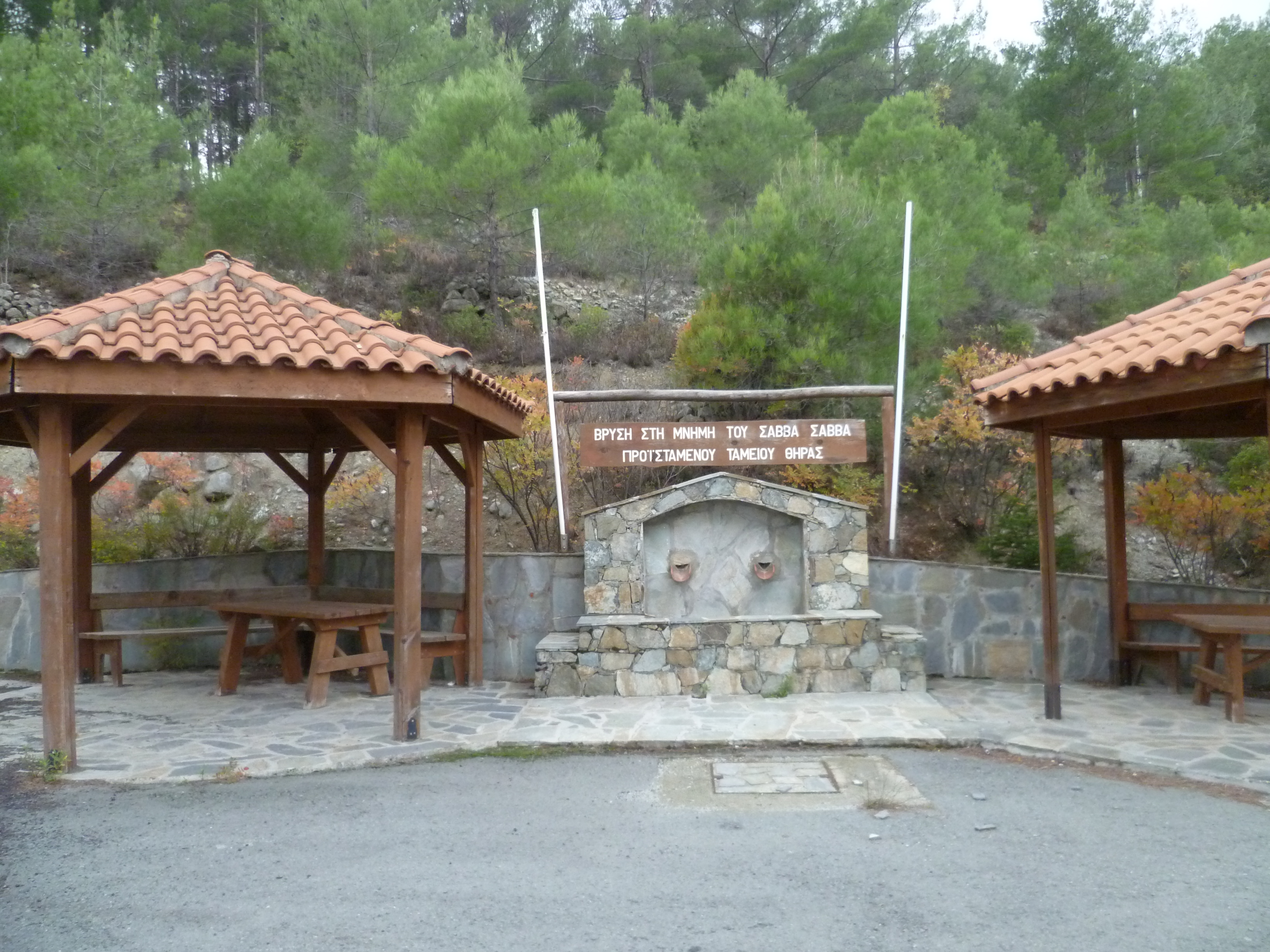
This is a steepish climb along an empty asphalt road for about 25-30 minutes. We stopped for lunch around halfway up at the Savva Savva Fountain and resting place (3 hours 15 minutes). [GPS: 34.54613N, 32.55901E]
(NB you can divert here onto the Loumata tous Aetous nature trail. There are two entry points along this road, one about half way up, the other next to the Savva Savva shelter. Both are clearly signed up. See the supplementary note below)
Follow Grivas Digenis Road all the way to the top of the hill, veering round to the right and ignoring a fork off to the left. You will reach a development of holiday homes on your right. This is the SEK (Cyprus Workers’ Confederation) trade union resort centre. (3 hours 25 minutes)
Just before you arrive at the main entrance to the SEK centre look for a white trig point with number 66 painted on it on the right hand side of the road. Take the track opposite this which leads into the trees and gently downhill. After about 50m you will see a concrete water tank down to your left. Look for a green signpost to Platres & Troodos Square 12 & 13km respectively.

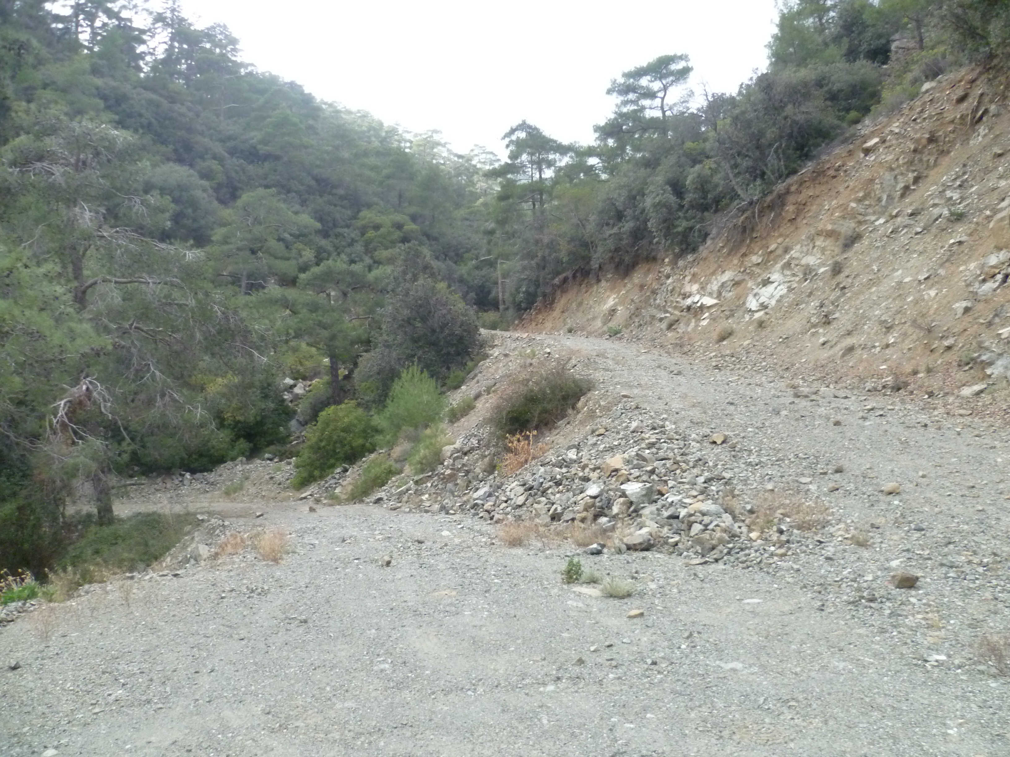
Follow the track indicated by the signpost. It is a decent earth road with lovely views and plenty of shade through a pine forest. Initial contour-level undulation followed by steady climbing but nothing too taxing; ignore any tracks off to left and right.
In particular, ignore a track down to the left – an escape route – after about 15 minutes’ walking. At around 4 hours 35 minutes you will reach a fork where another track heads to the right. Continue along your track to the left and downhill. We think this – un-signposted – right fork may be a long and winding road to Troodos, but we have yet to check this.
At around 4 hours 55 minutes you will reach a right turn as the track reaches the top of an incline. As you turn the corner the track descends and around 200m ahead you can see the junction where it rejoins the Psilon Dendron/Mesa Potamos road about 1km west of the monastery. [GPS: 34.53496N, 32.54110E] You passed this junction earlier in the day at the 1 hour 5 minutes point of your walk.

Return to Psilo Dendro along this track and you will arrive back at your start point after approximately 6 hours.
Birds seen on this walk: Barn Swallow, Blackbird, Chaffinch, Coal Tit, Chukar, Cyprus Wheatear, Goldfinch, Greenfinch, Hooded Crow, House Martin, House Sparrow, Jay, Kestrel, Masked Shrike, Sardinian Warbler,Swift, Wood Pigeon, Wren.
ADDITIONAL WALK
There are a couple of options to include the Loumata tous Aetous nature trail in this walk. This is trail 52 on the CTO Troodos Map Western Area. It is a very pretty gorge walk with spectacular cliffs and fairly dense, by Cyprus standards, forest. Also some EOKA hideouts. The path runs alongside a stream which might make the walking more difficult in winter/spring.
We last walked this trail in May 2018 and although it remains a beautiful addition, some of the trail has been eroded by rain and rockfalls. You will need to be reasonably nimble to navigate some of the stream crossings in places, particularly in winter and after rain.
To walk the trail:
At the 2 hours 40 minutes point you should carry on walking into the village of Kato Amiantos and turn left when – after 10 minutes – you reach the main F972 road. Walk about 5 minutes along the pavement of this road past a cafe on your right and, just beyond a right-hand bend, turn left to reach the start of the trail. The trail goes up the gorge and doubles back on itself. Dog-leg back and climb along the trail to the end, past wooden palings that you could see from earlier in the trail high on your left. At the end of the trail there is a noticeboard. Turn right here and walk along the road till you reach the Savva Savva’s fountain.
You can also join the trail at a point on Grivas Digenis street about 3 hours 20 minutes into the main walk
Add around an hour to the main walk if you want to include this nature trail.
