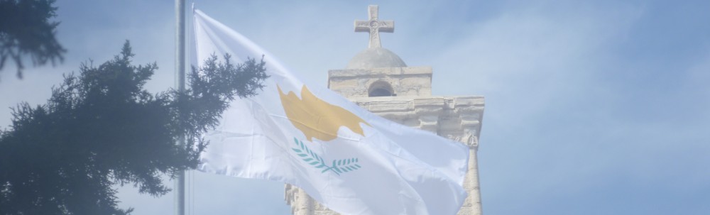
Agios Georgios – Elias Bridge – Agios Georgios
Date Last Walked: October 2019
Distance: Approximately 17 miles (27 kms)
Duration: Approximately 6 hours 30 minutes
Difficulty: Moderate. Although there is a big difference in elevation between Elias Bridge (approx 450 metres) to Agios Georgios (approx 1000 metres) much of the ascent and descent is fairly gentle. There’s plenty of shade on this walk as it winds through forests on deserted tracks. The scenery is beautiful and for most of the walk you will feel like you are the only people for miles around. The distance allows for a challenge without some of the really tough climbs and scrambles encountered on some of the other walks on this site. Drinking water is available at around 1 hour 45 minutes at the side of the F804, but not after that point.
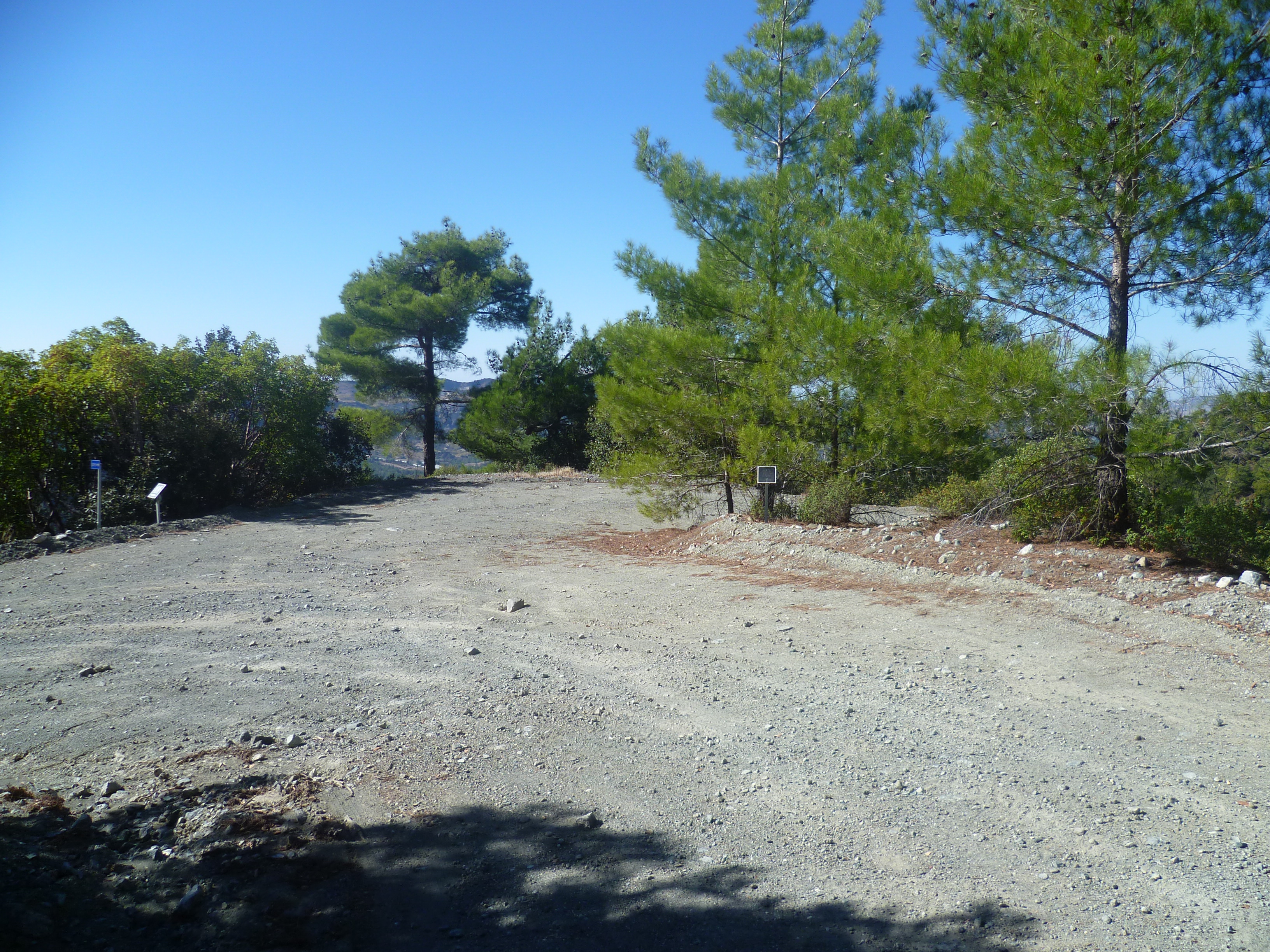
Park the car next to the shrine to Agios Georgios, about 6 km past Foini on the F804 towards Prodromos. [GPS Co-ordinates: 34.917488N, 32.813646E]
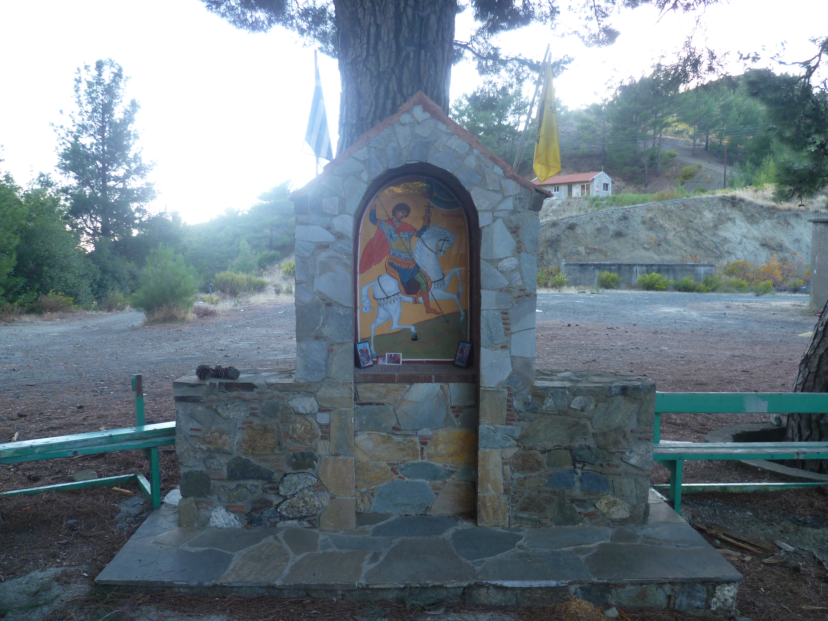
Start the walk here by continuing very briefly along the road toward Prodromos, passing the church of Agios Georgios on the right. About 50 metres along the road, just past the church you will see a track clearly signed up as the E4 and marked ‘Platres 15km’. There are also signposts to ‘Prodromos 10km Trooditissa 6km’.
Ignore any tracks off to the right and left and follow this main, wide earth road which is the European Long Distance Path E4.
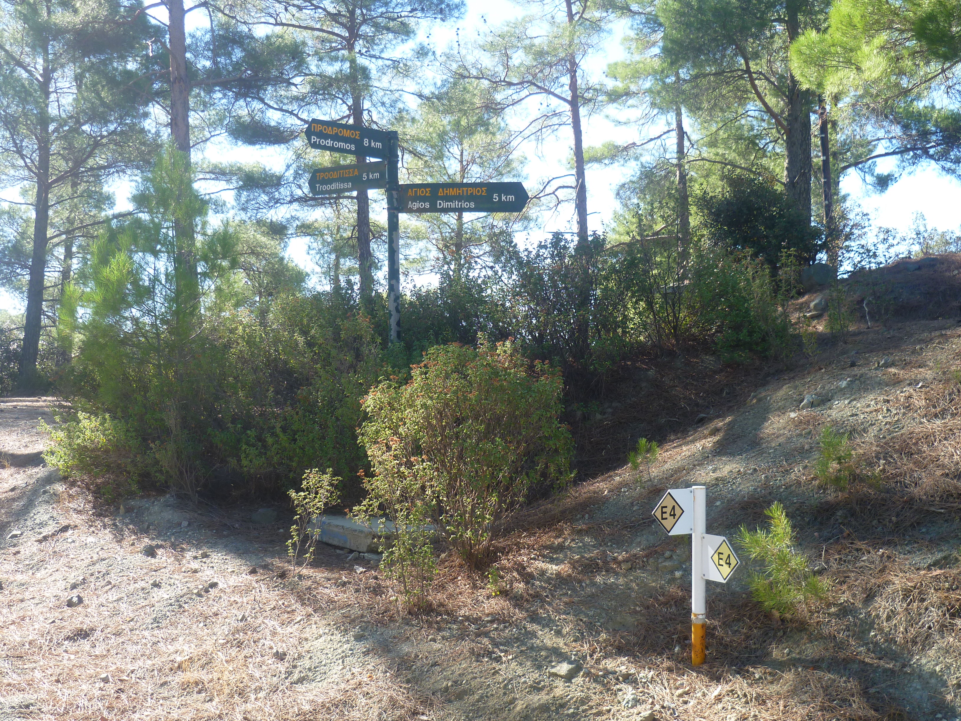
After 25 minutes gentle ascent you will reach a three-way junction with signposts to ‘Prodromos 8km, Trooditissa 5km, Agios Dimitrios 5km’. You leave the E4 at this point and follow the track towards Trooditissa.
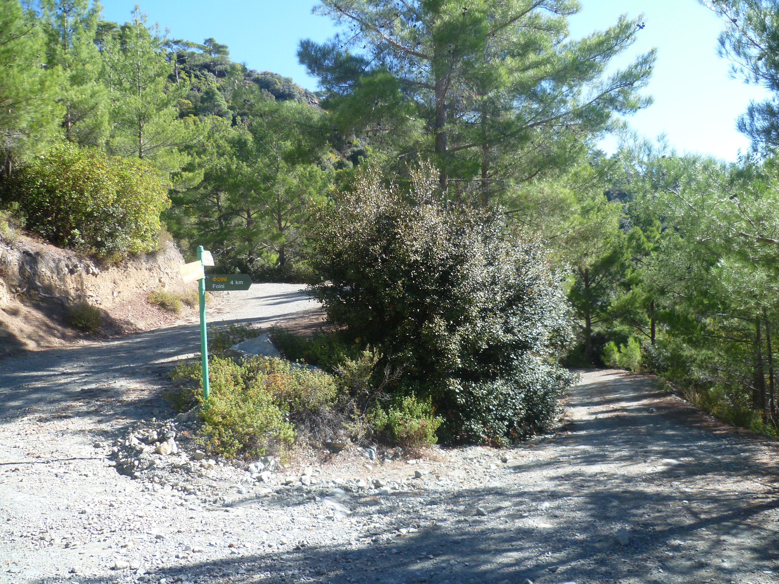
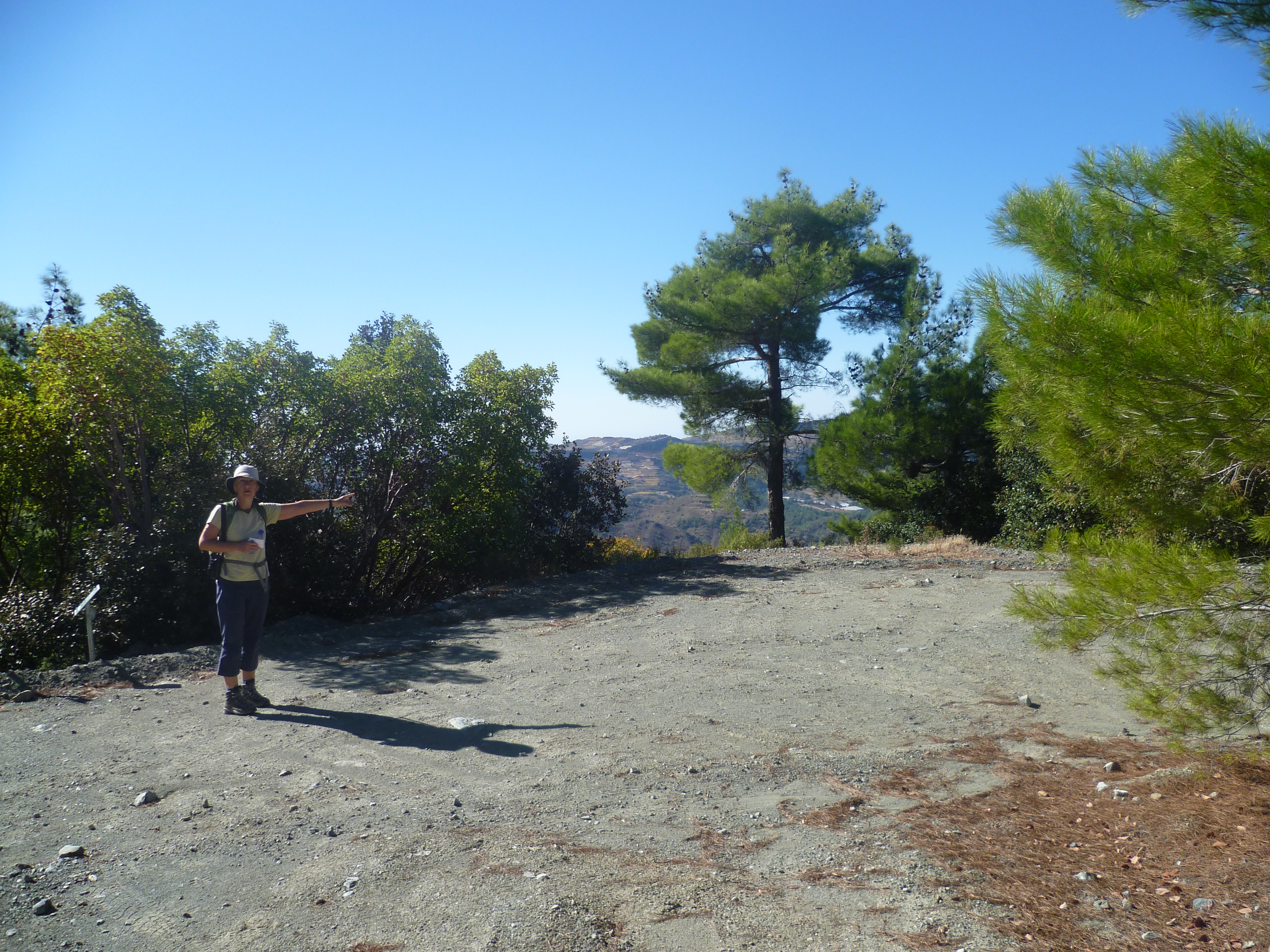
Keep to the main track, ignoring any paths or tracks off to the side. You are walking through quiet, still pine forest. Look behind you for views of Prodromos, with the deserted Berengeria hotel above the village and soon, to your right, views down to Foini. After 50 minutes you will reach another three-way junction. There are signposts (‘Agios Dimitrios 7km’ and ‘Trooditissa 2km’) and a bench. Follow the track towards ‘Foini 4km’.
You will see some small blue signs along this track marking it as a cycle route.
At 55 minutes the main route, and cycle route, curves to the left and down. Your path leaves the main walking/cycling route here and dog-legs to the right.
Follow this track as it winds downhill. At 1 hour 10 minutes your track turns sharp left and goes downhill at a hairpin bend – ignore the slightly overgrown track which goes straight on here.
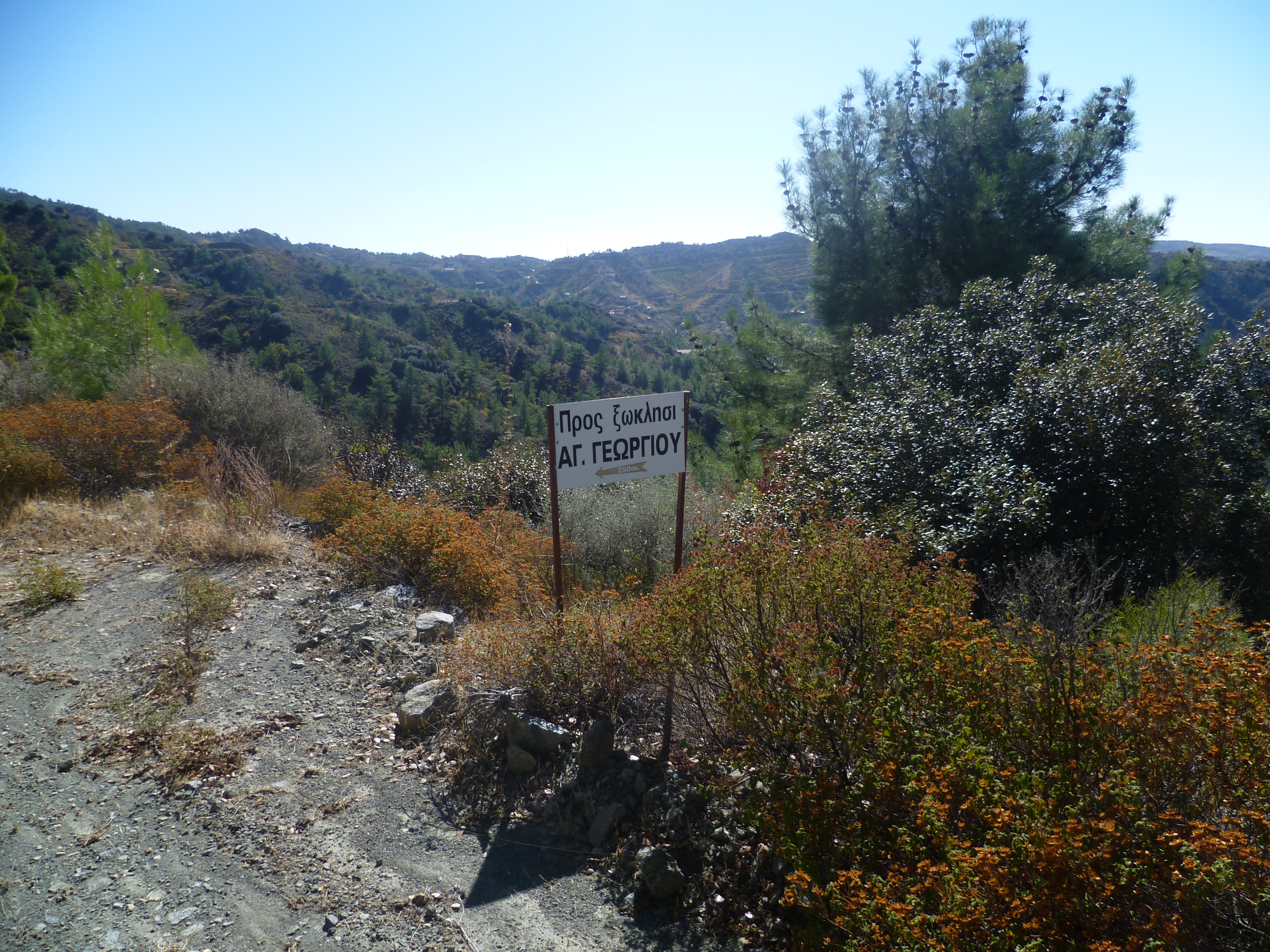
Just a few minutes further on at 1 hour 15 minutes you will pass a sign to another shrine dedicated to Saint George. Stay on the main track (now intermittently concreted) as it passes a remote house on your right and continues downhill.
At 1 hour 35 minutes you will arrive at the F804. [GPS: 34.894821N, 32.830296E]
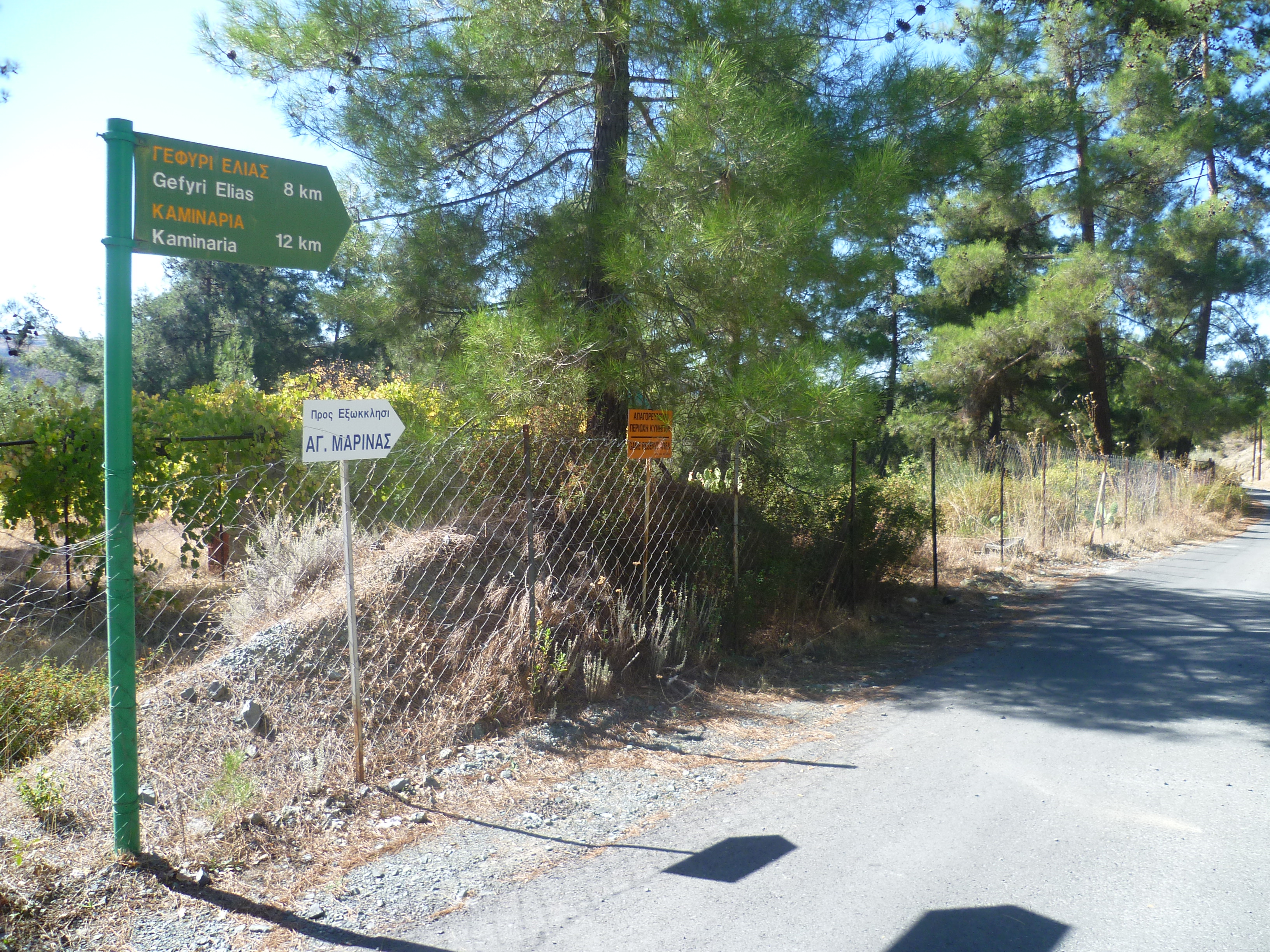
Turn right onto the F804 towards Prodromos and Agios Dimitrios. Walk along the quiet country road for about 10 minutes. You will pass a lay-by on the left where there is drinking water. You may want to pause at the left turn to Agios Anargyroi and enjoy a few moments rest on the shady bench under the enormous oak tree sheltering the roadside shrine. Just after this at 1 hour 50 minutes you leave the F804 to turn left onto the road signposted ‘Gefyri Elias 8km, Kaminaria 12km’. [GPS: 34.897696N, 32.821349E]
You will follow this track all the way to Elias bridge. It is a lovely route which passes a number of smallholdings before leading into pine forest. There is plenty of shade through the forest as the track follows the path of the stream to reach the bridge. Look out for signs, especially along the first part of the route, pointing towards Elias (Olive Tree) bridge.
At around 2 hours 10 minutes your path veers right at a minor fork as indicated in the photo below.

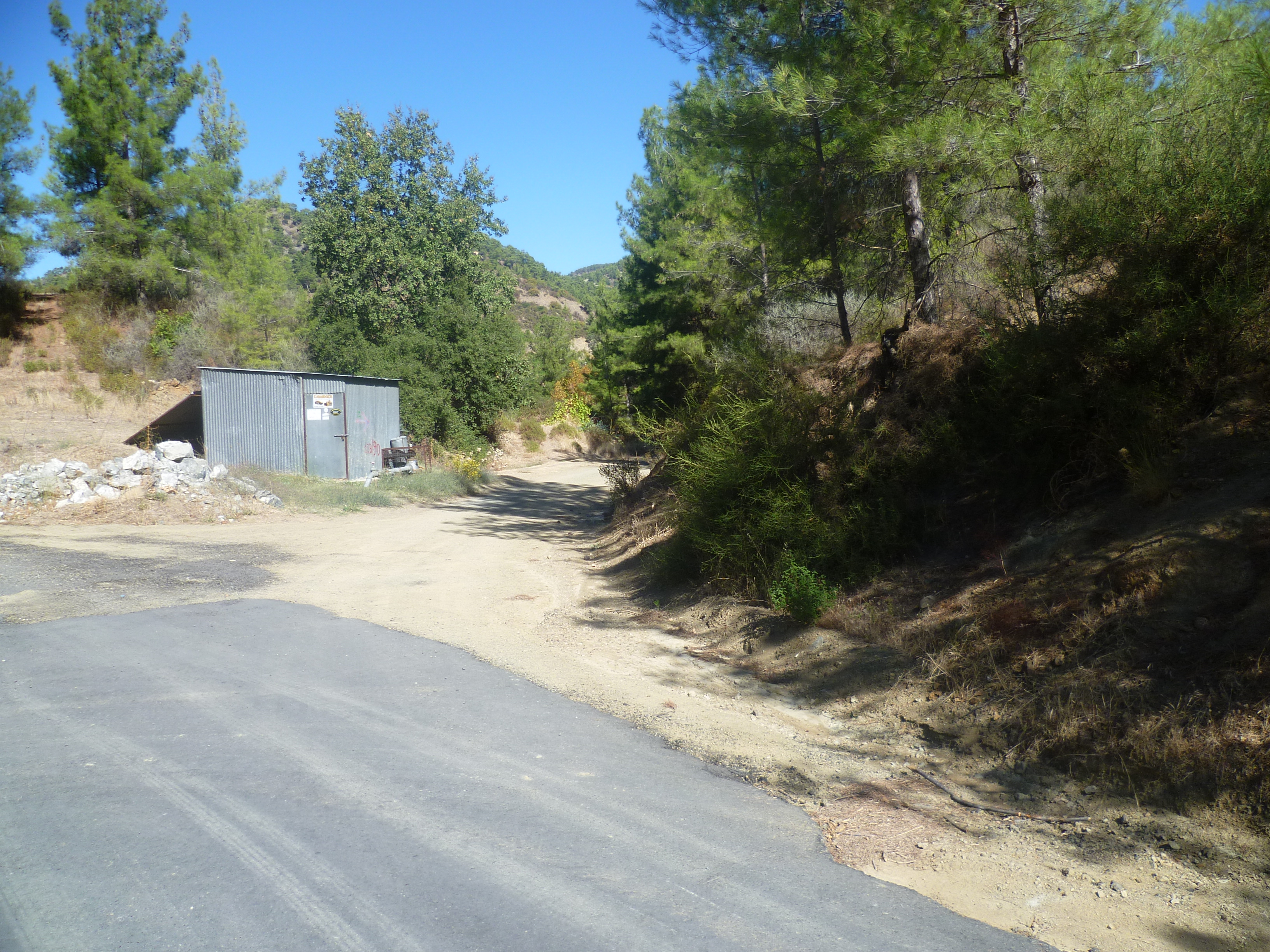
You will pass a poultry farm on your left (smelt as much as seen!) and at 2 hours 15 minutes you will reach a junction where the asphalt road turns left towards a house with a wooden statue of a moufflon above its gateway (The moufflon has become increasingly hard to spot as the trees have grown around it!). Leave the asphalt road at this point and follow the earth track to the right as it passes a corrugated metal shed.
Shortly after the track takes a U-turn to the left across a stream you will arrive at a shrine to Agios Zinonus at 2 hours 30 minutes. There is a shelter and a wooden bench – an ideal place to take a breather. Ignore the left hand turn towards Agia Marina and continue along the main track into a pine forest.
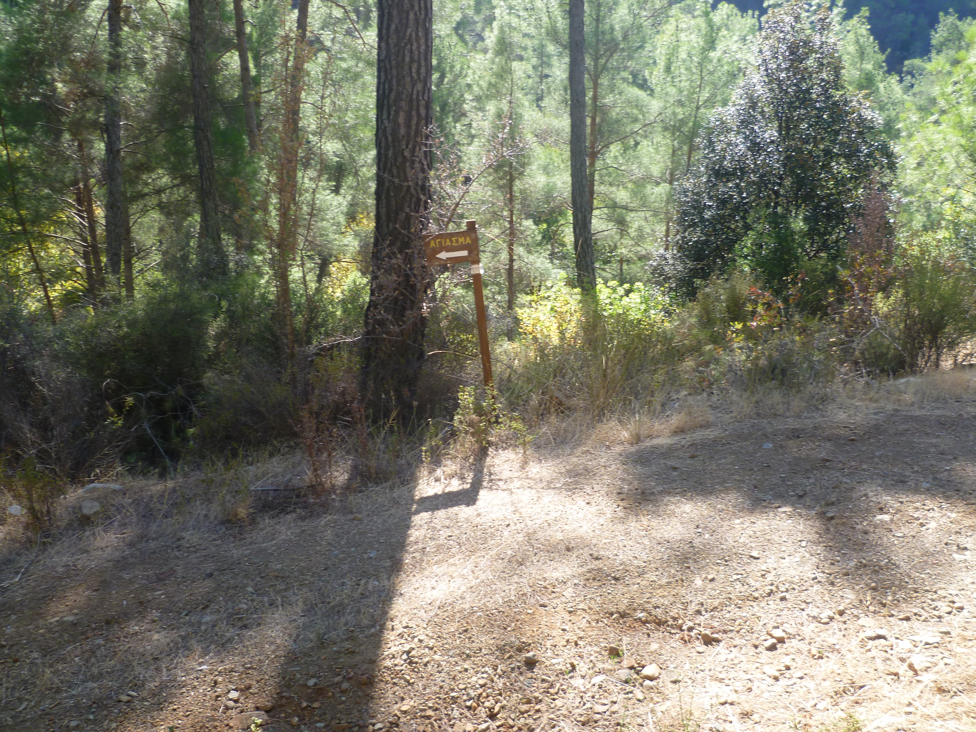
The track is easy to follow – ignore all side routes, keep the river bed below and to your left and at around 3 hours 10 minutes you will pass a sign on your left to a spring. (Agiasma). The spring is 300 metres down the track then a further 10 metres after the end of the track. Walk down to have a look but unless there’s been a lot of rain there’s not usually very much to see – a trickle of water coming from under some rocks and leading down to the stream.
Return to the main track and continue to follow it, still ignoring all side-tracks. At 3 hours 30 minutes you will see a small signpost with a yellow arrow pointing to the left of the main track. The sign is set back to the left of the track amongst the pines. Follow this as it leads you onto a footpath which zigzags downhill for 5 minutes, passing a wooden bench and emerging onto the road next to Elias Bridge at 3 hours 35 minutes. [GPS: 34.896311N, 32.774014E] (Don’t worry if you miss this footpath. The main track will in any event bring you out onto the road near the bridge in a few minutes – just turn left on the road and walk downhill to the bridge)
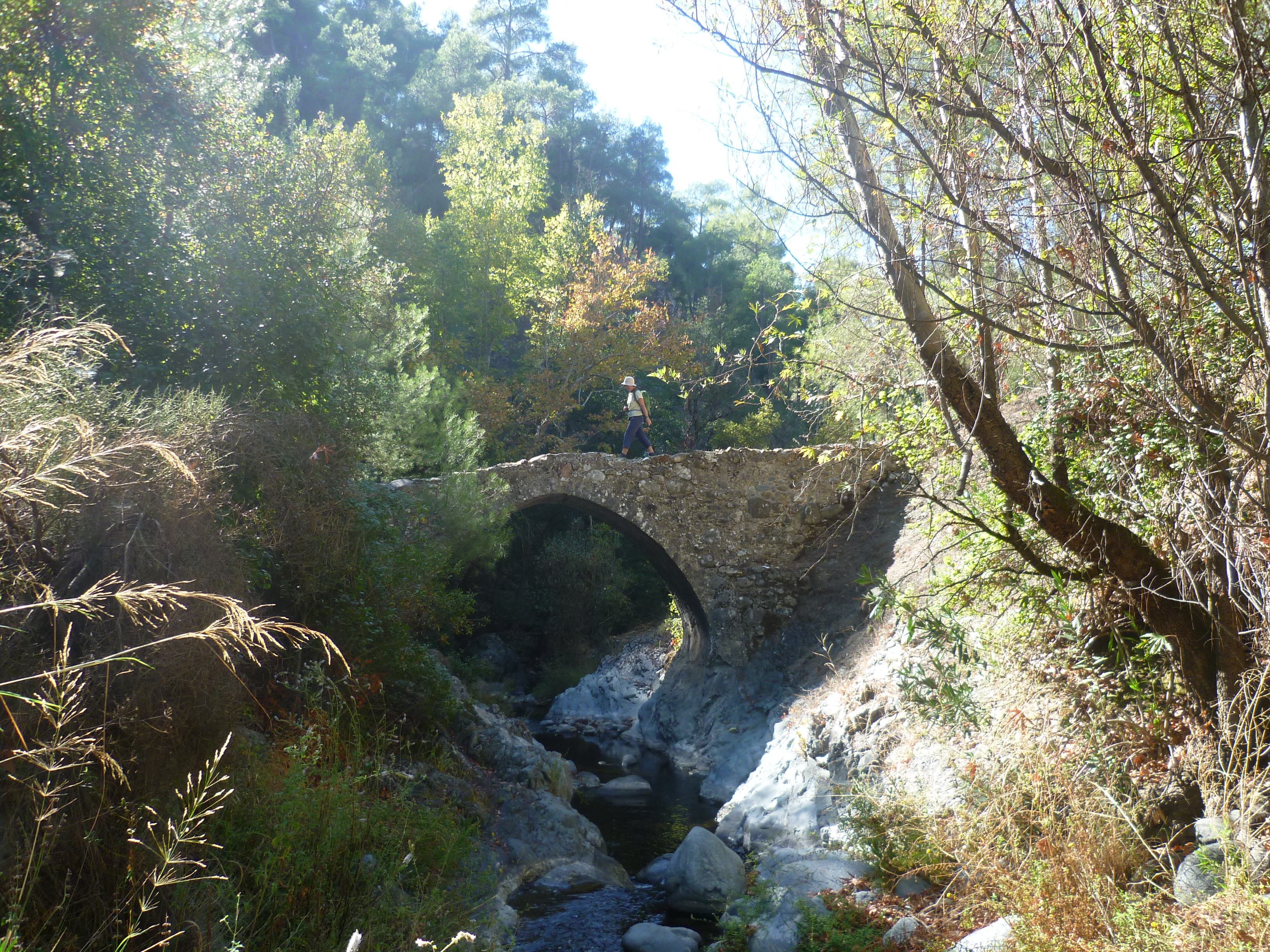
The bridge is a good place to stop for lunch as long as you choose your spot carefully – we generally sit upstream on the rocks to the left of the stream and we often see frogs and occasionally freshwater crabs. The surrounding forest area is good for wildlife and the photos below were taken in this vicinity:


When you are ready to continue, walk back up the road towards Kaminaria. This one-time track is now an asphalt road but there is rarely any traffic. It’s a steady climb up towards the village with a steep ravine to your left. Although it can be a bit of a slog in hot weather the views across the valley to your left are impressive.
At approximately 4 hours 25 minutes, and around half a kilometre before you reach Kaminaria, the E4 trail is clearly signposted up a concrete road to your right. (Don’t be tempted by an alluring earth track and trail board on your right some 200 metres beforehand.) This is your onward route. [GPS: 34.921053N, 32.783810E]

Almost immediately you will see a footpath leaving the E4 to the left and indicated by a green arrow. Ignore this and continue along the track. You will follow the main track and the intermittent E4 signs all the way back to the start point at Agios Georgios. The path climbs fairly steeply for the first 25 – 30 minutes, but levels off to a more steady ascent after that.
At 4 hours 50 minutes you will arrive at a fork in the track. Take the right hand, lower track to stay on the E4. At the time of writing in late 2019 there was an E4 sign here, so look out for this.
At 5 hours 5 minutes you will reach a wooden bench to the right of the track. Pause to catch your breath, marvel at the ascent you have made and admire the views over the valley below. Shortly after passing the bench you will cross the shoulder of the hill and enter into a new valley.
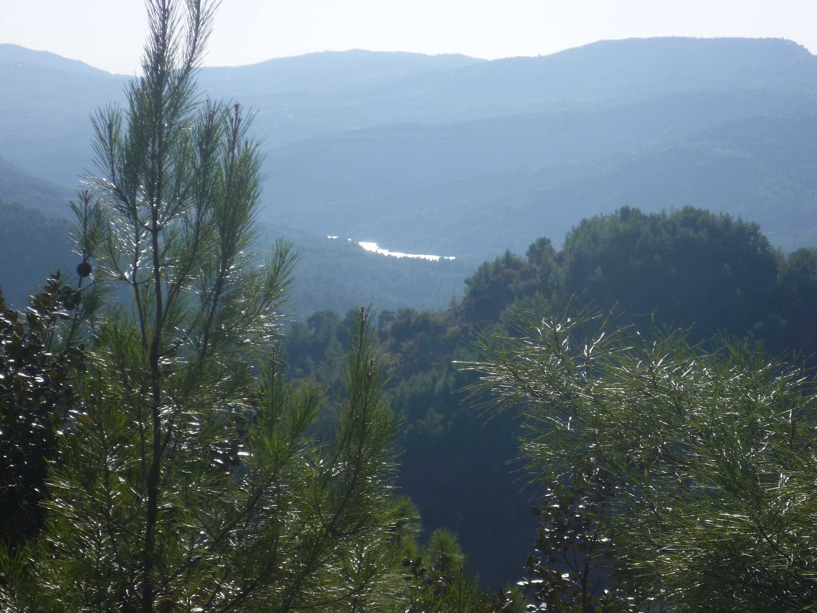
As you continue along the contours you will have a glimpse of the Arminou Reservoir in the distance to your right.
At 5 hours 45 minutes your track will join a slightly wider one coming up from your right. Carry straight on as the two tracks join, continuing around the contours of the mountain. Stay on the E4 and don’t follow the route downhill that dog-legs to the right.
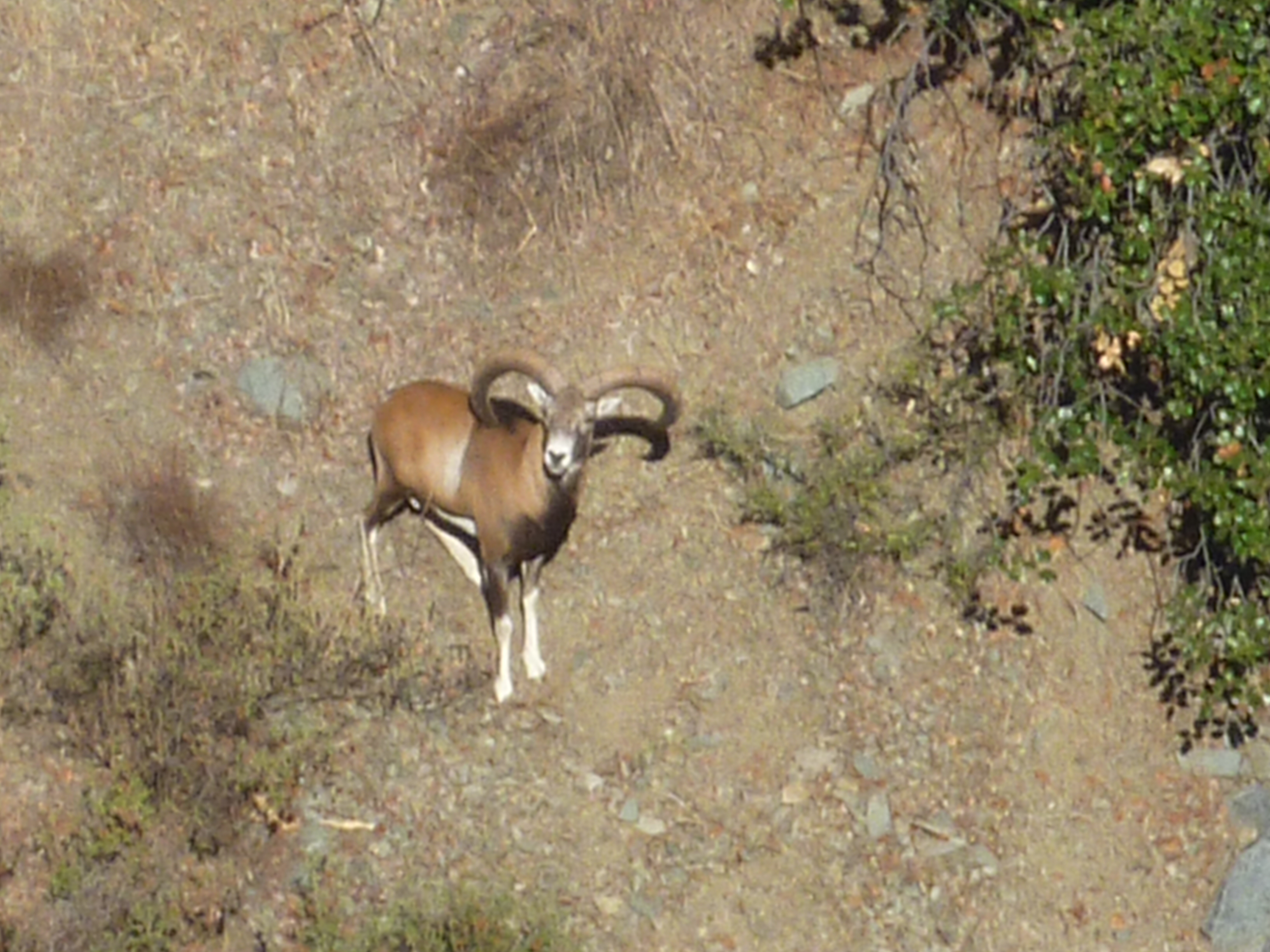
You will certainly have this lovely, uninhabited valley to yourself and we’ve seen mouflon here on a number of occasions. On one walk we saw a group of three mouflon: two males arguing over a single female. We managed to take this photograph of the winner.
At approximately 6 hours 30 minutes, following the E4 all the way, your path will arrive back at the shrine to St George, and your car.
Birds seen on this walk: Blackbird, Chaffinch, Chukar, Coal Tit, Cyprus Wheatear, Goldfinch, Great Tit, Hooded Crow, House Sparrow, Jay, Kestrel, Red-backed Shrike, Robin, Sardinian Warbler, Serin, Stonechat, Willow Warbler, Wood Pigeon.

Completed this walk on the 26/05/16 – very enjoyable, clear instructions and easily followed with good signage. We saw no one for the full duration of the walk, amazingly quite and peaceful
Yep, this is one of my favourite walks – although the slog up to Kaminaria can be a bit draining in hot weather! Mark