Date last walked: November 2023
Distance: Approximately 14 miles (22 kms)
Duration: 5 hours 35 minutes
Difficulty: Difficult with around 850m descent and ascent. Very little shade on the final ascent.
GPX file available on request.
This is a beautiful walk and one of our favourites. It’s strenuous and involves some arduous climbing, particularly during the latter part of the day…but it’s well worth it for the amazing scenery and incredible views. If remoteness is what you’re seeking then this one is for you!
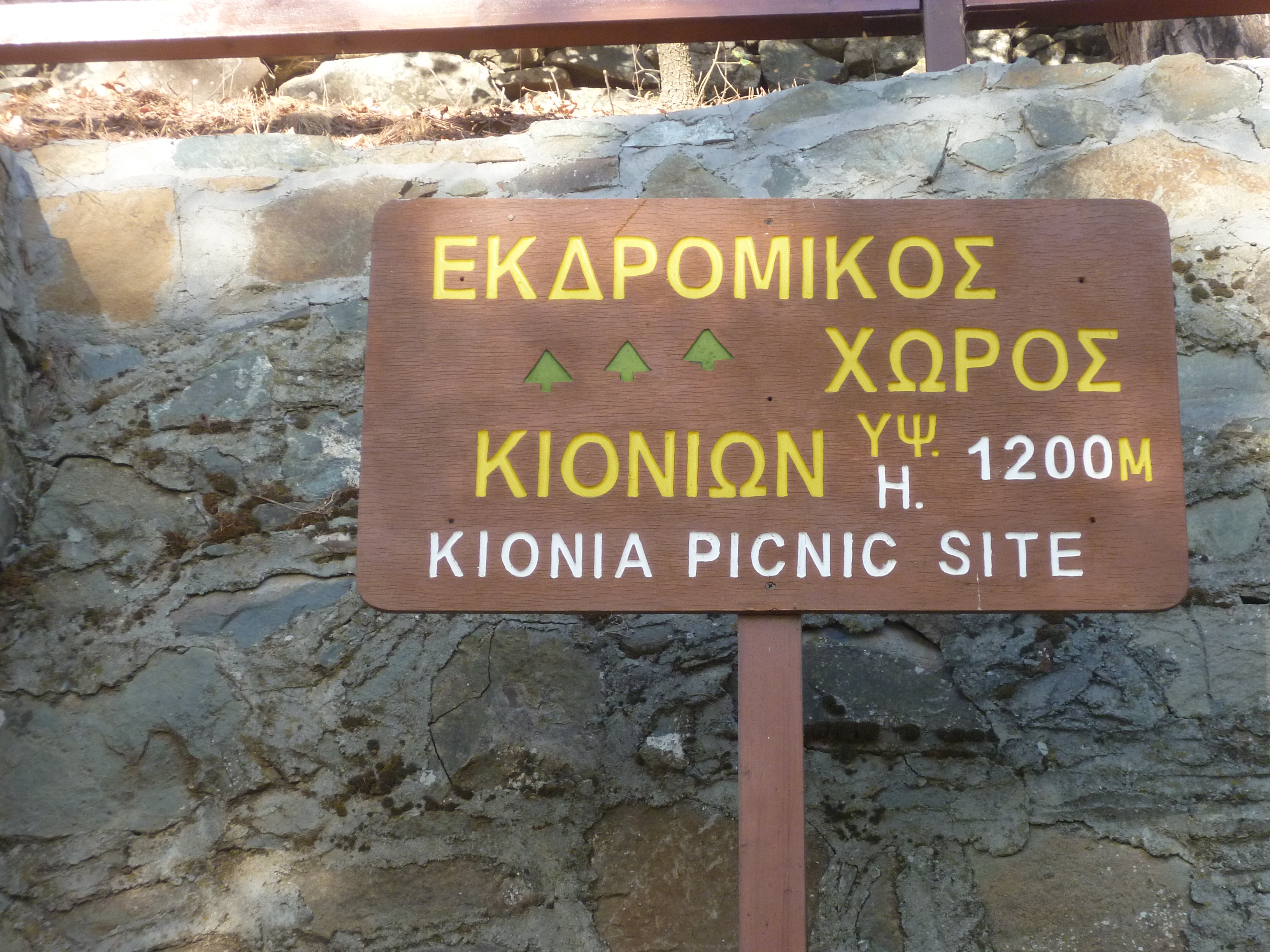
Start this walk from Kionia picnic site (elevation 1240m) which is situated on an asphalt road about 2km south of Machairas Monastery and just below Machairas Forest Station.
Take the E4 European Long Distance Footpath from the picnic site. There are three Forestry Department boards at the side of the road, the E4 is just to the left of these and takes you past the picnic tables, and leaves Kionia heading downhill in a roughly south-easterly direction.

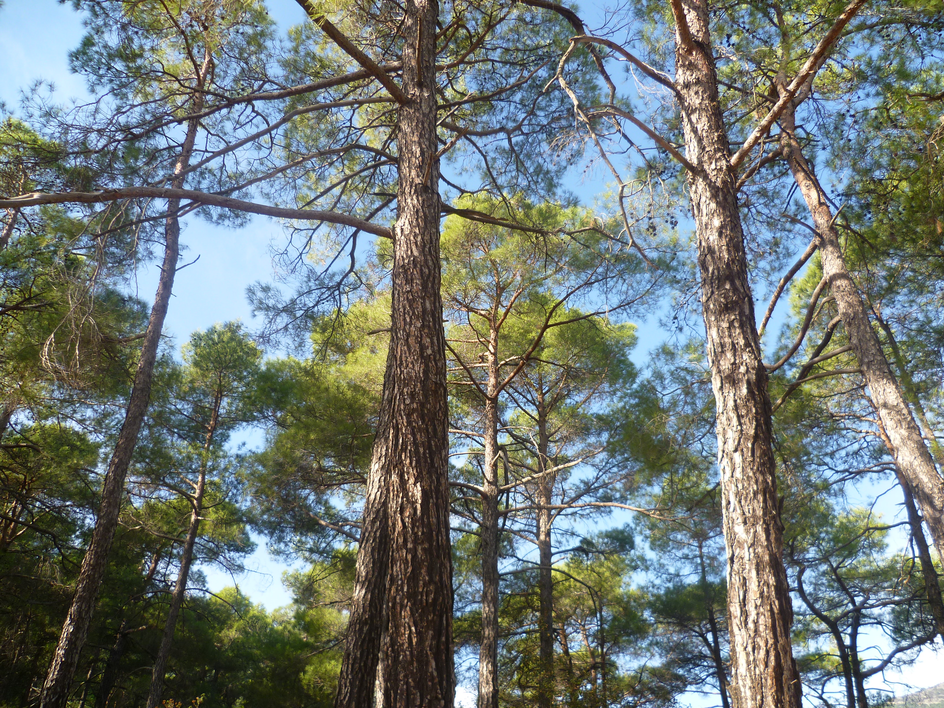
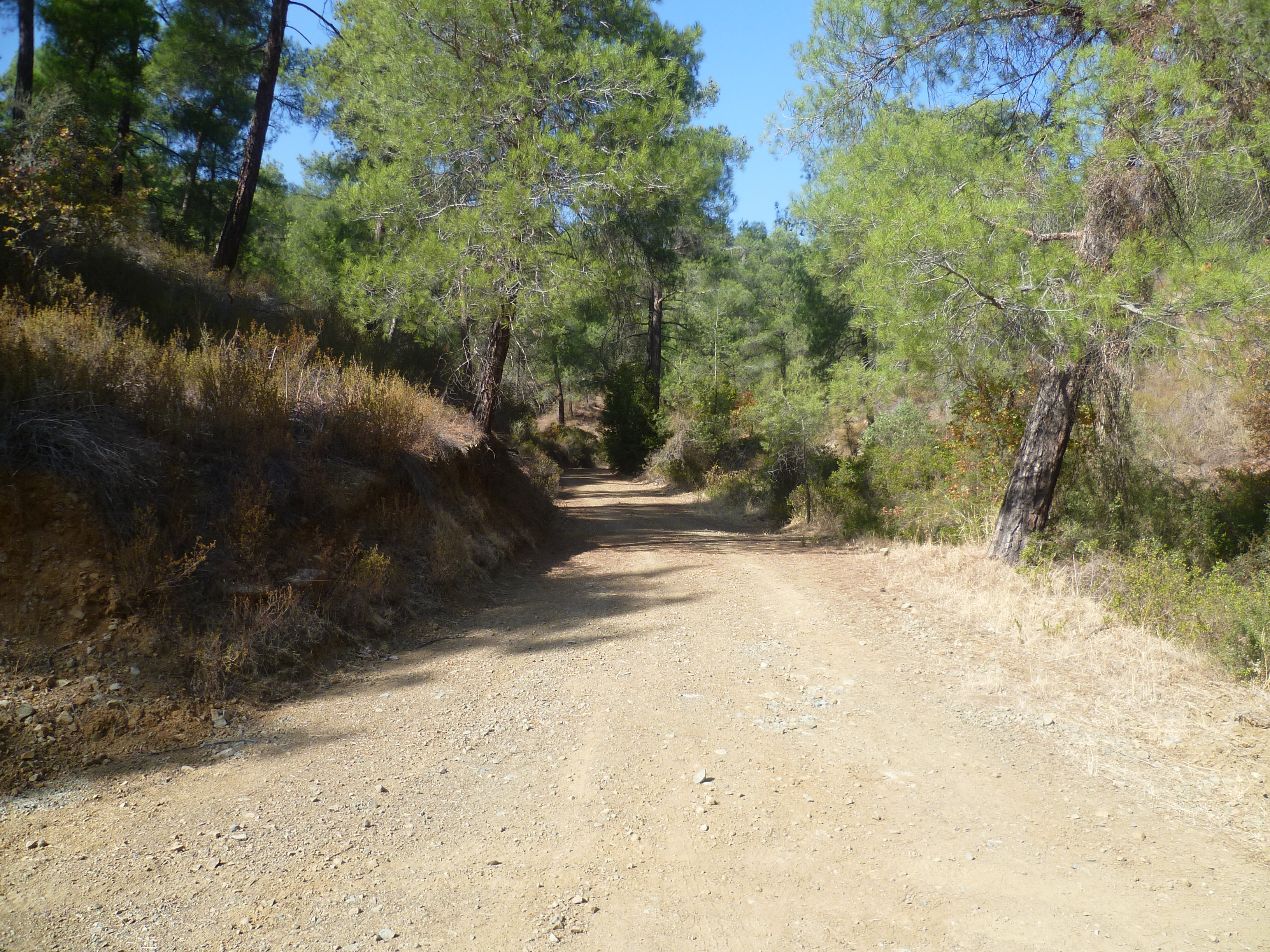
You’ll be walking downhill on a well-marked footpath. This is a nature trail as well as the E4, so there are occasional green information boards along the way. Note, though, that in the last couple of years quite a few of the early boards had disappeared…probably removed deliberately. A viewpoint with a bench on your left after approximately 20 minutes will confirm that you are on the right path. The footpath is quite narrow and steep in places so take care. You enter a beautiful valley with some dramatic rock formations and cliffs, also plenty of shade provided by a forest of black pines.
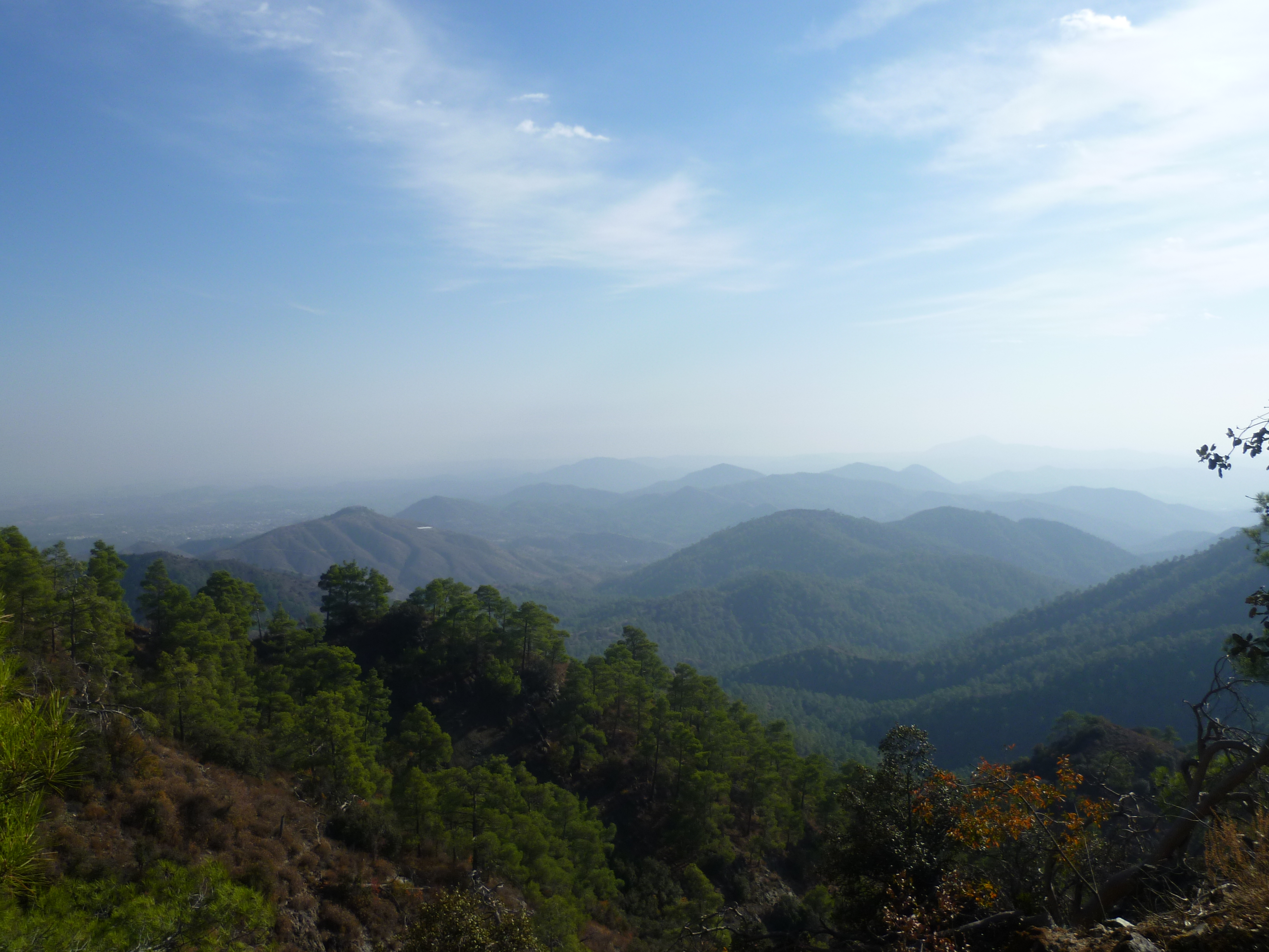
There are also good views across the hills to your left.
It’s a good habitat for a variety of birds and we once encountered two young peregrine falcons as we rounded a corner here.
Along the route you will pass (at around 30 minutes and again at 50 minutes) some old charcoal kilns, the latter of which which have been excavated.
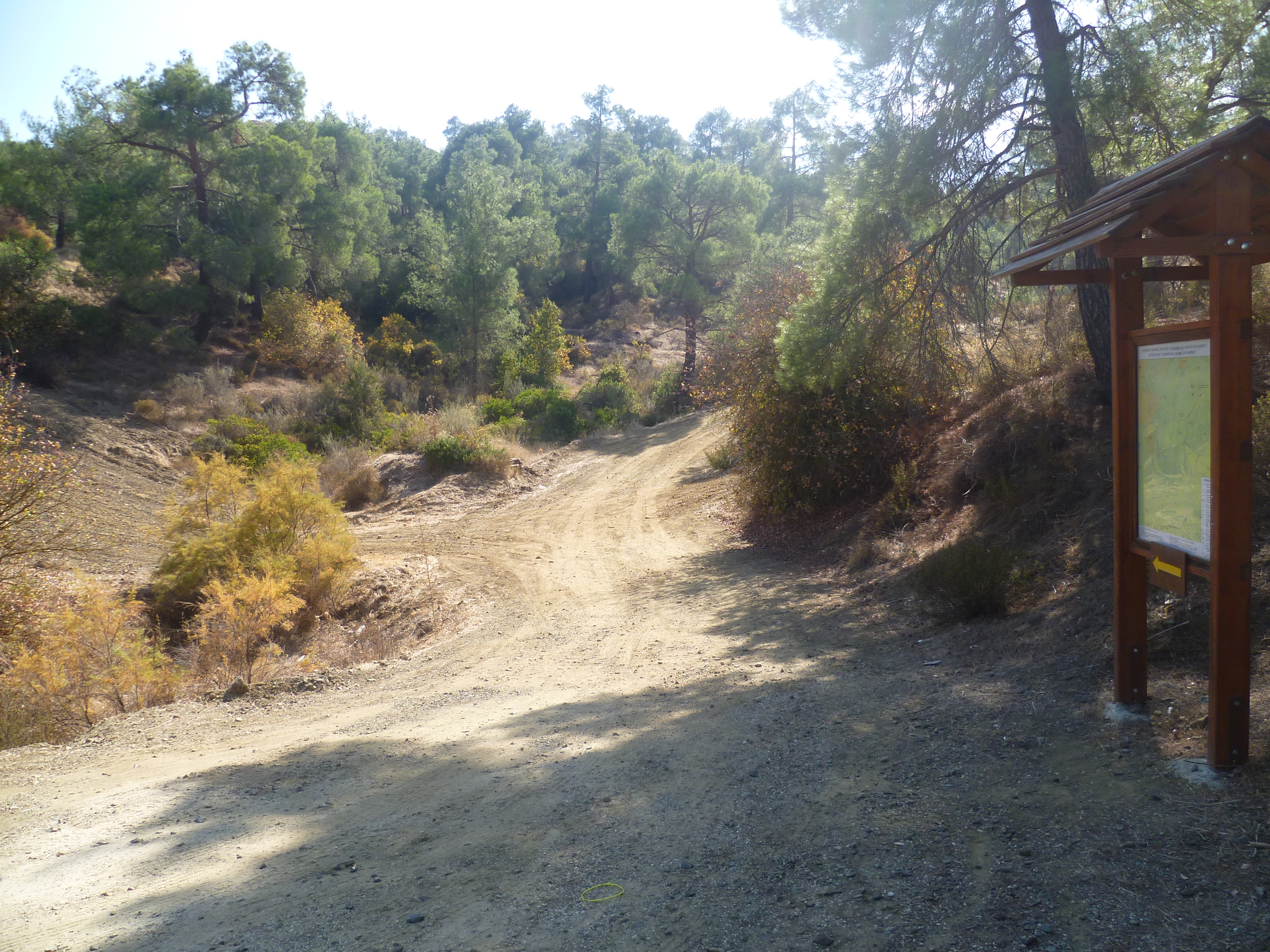
After following the footpath downhill for 55 minutes you’ll reach an open area where there is a junction of paths. This is signed up (in Greek) as ‘Topothesia Dinmas’ – elevation here is 960m. There is an information board and a signpost to ‘Profitis Elias 4km and Kionia 3km’.
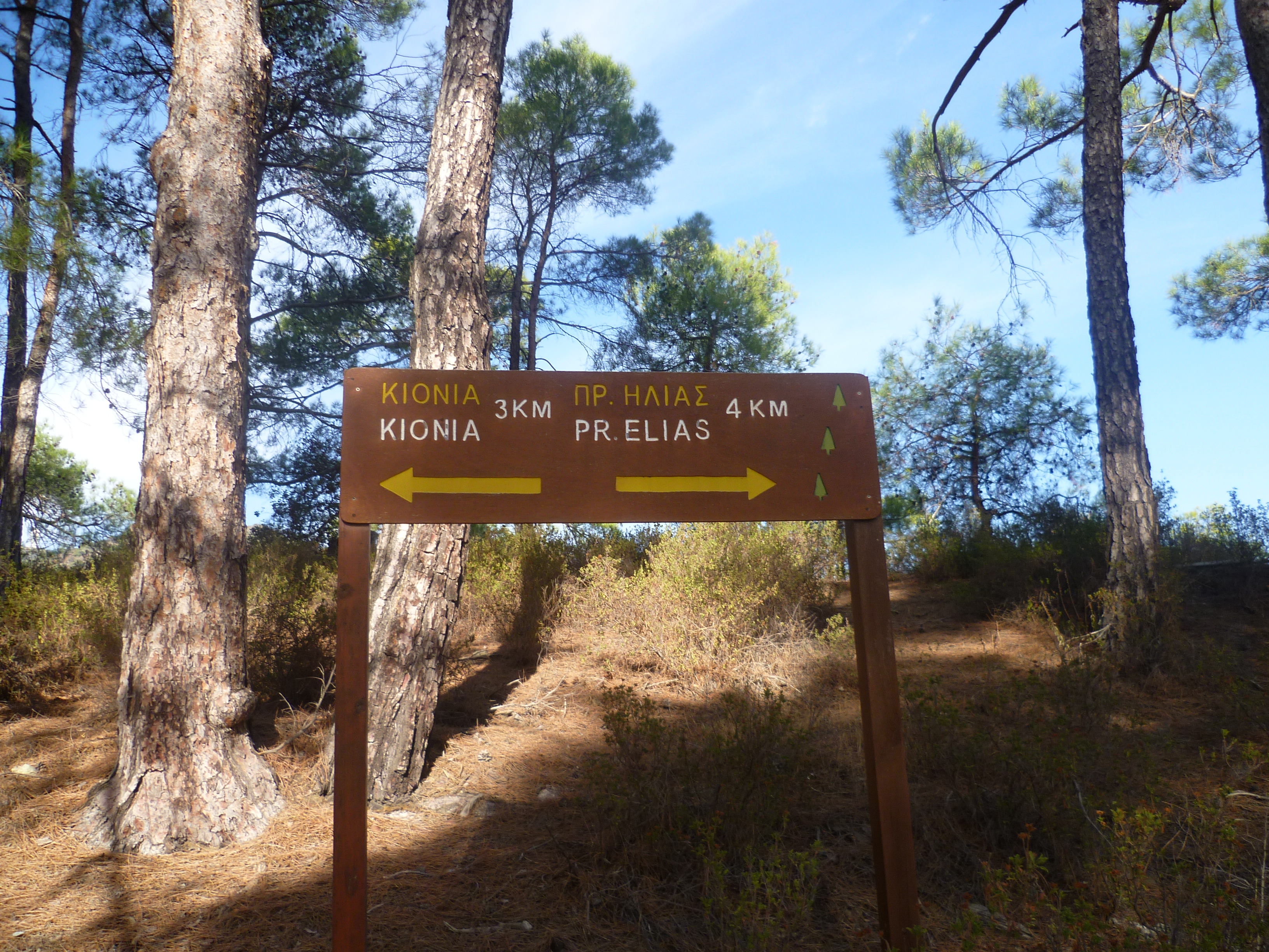
Follow the sign pointing towards Profitis Elias and continue to walk gradually uphill along the E4.
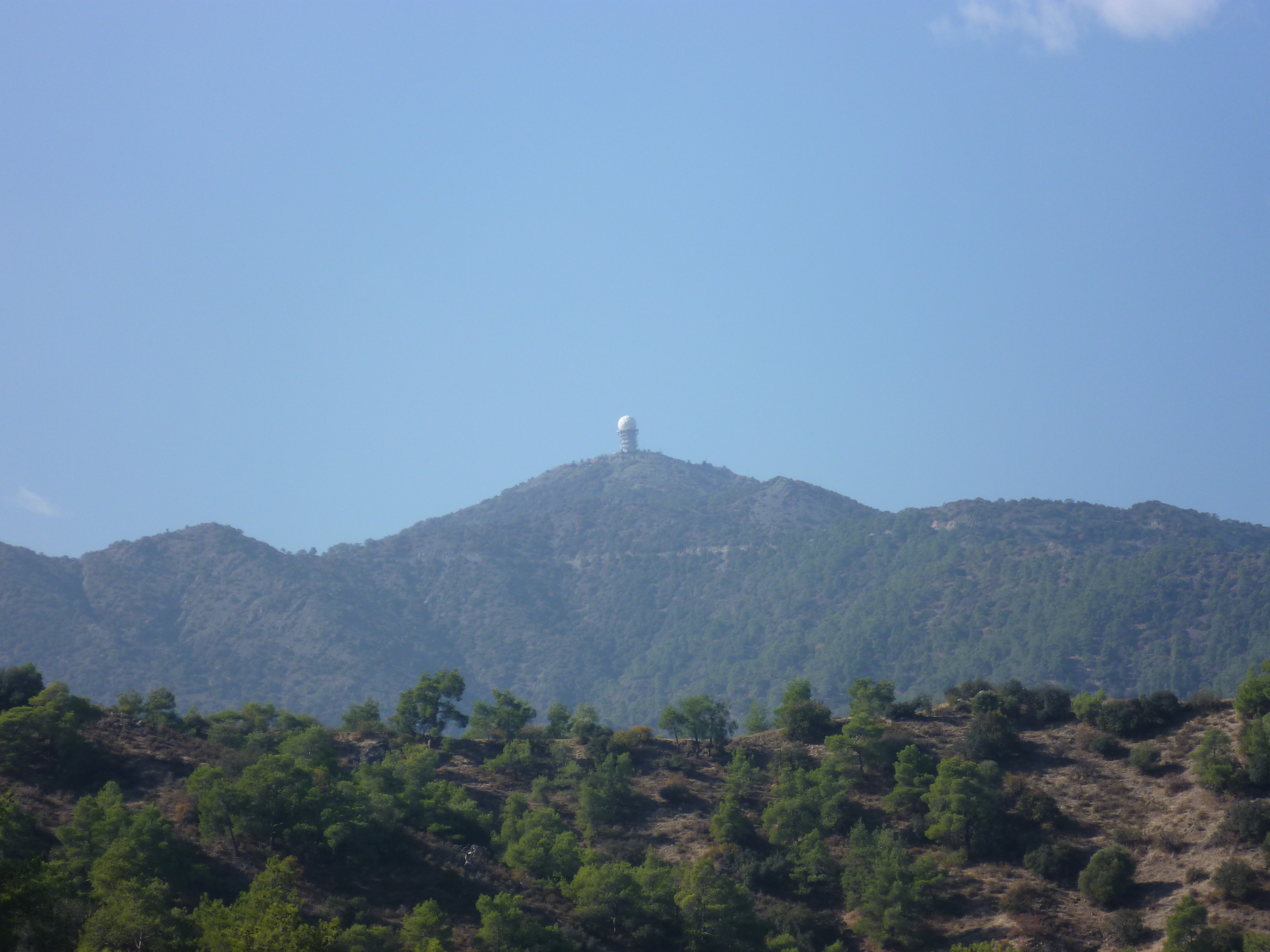
The views start to open up, the path levels out and at 1 hour 5 minutes you can see Lefkara reservoir glittering between the hills in the distance to your right, and 10 minutes later, the weather-station at the summit of Machairas way behind to your left.
At 1 hour 45 minutes you will arrive at a junction where there is a wooden bench and an E4 signpost to Profitis Elias 1km.
Continue to follow the E4 towards Profitis Elias. A couple of minutes later you will reach another junction where, again, you continue along the E4 which goes to the right. All this is clearly signposted. (Note – there is a footpath from this second junction heading uphill to a summit (Throni). An option for a small detour if you wish)
Follow the E4 footpath to arrive at the monastery of Profitas Elias (683m) at just over 2 hours.
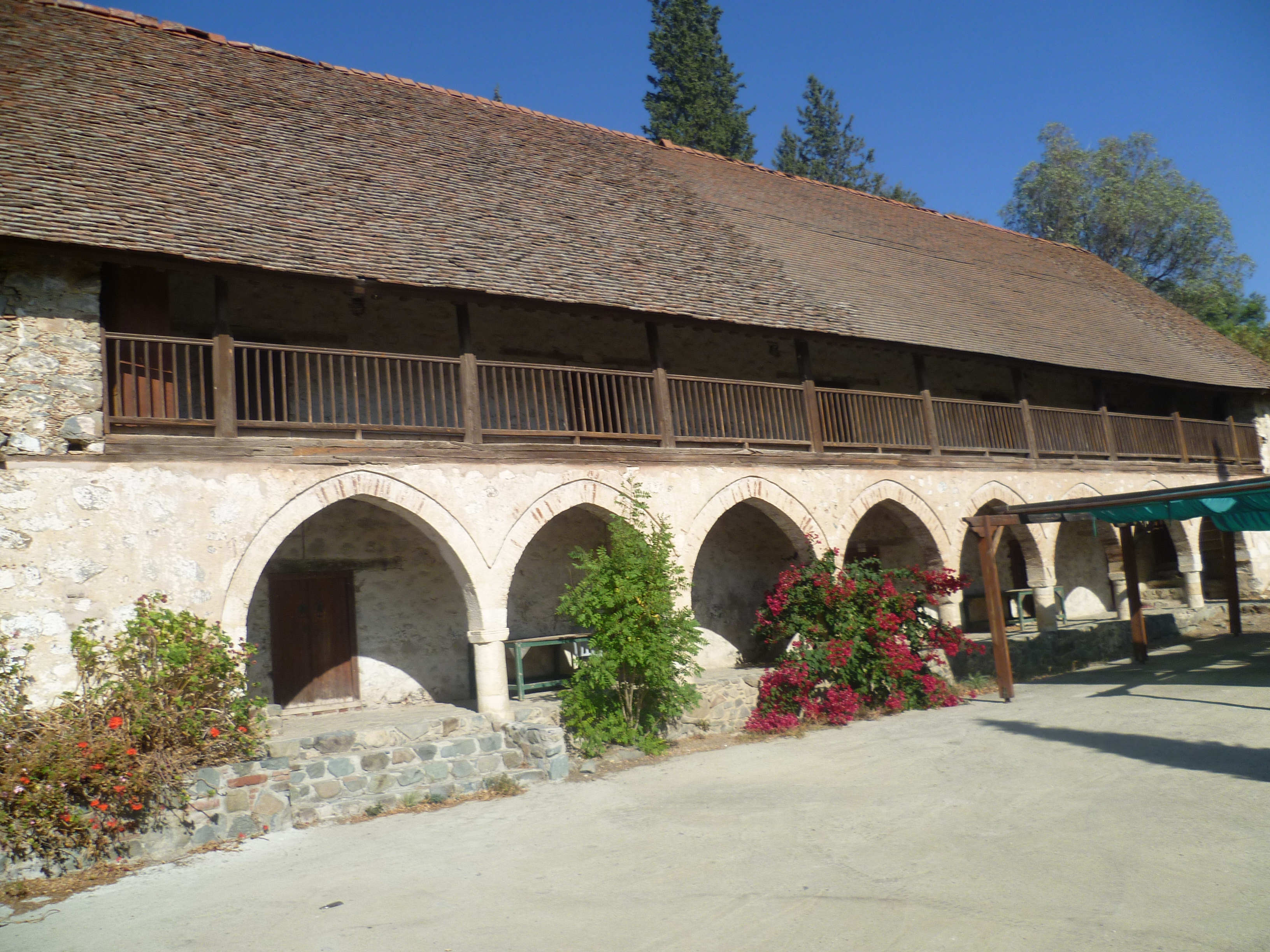
This disused but well maintained monastery is a beautiful place with plenty of shady spots for a picnic. There are toilets, a picnic area with tables and barbecues. Also drinking water from a tap just outside the toilets.
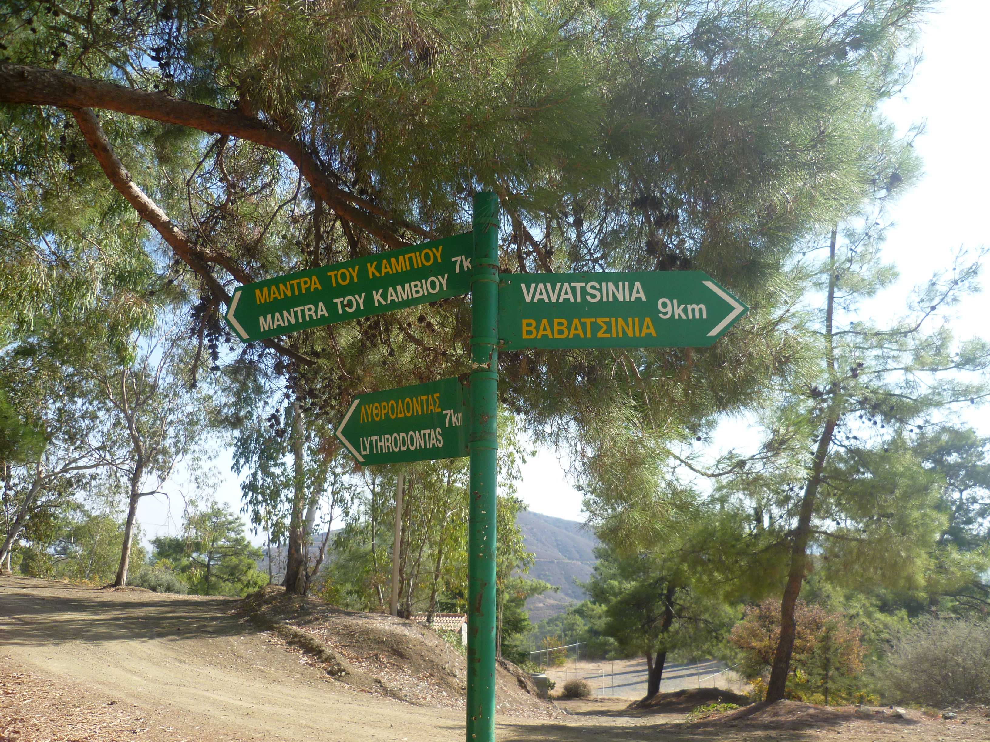
When you have finished exploring, leave the monastery on the earth road signposted to ‘Mantra tou Kambiou 7km’. There are no signposts after you leave the monastery but the route is easy to follow.
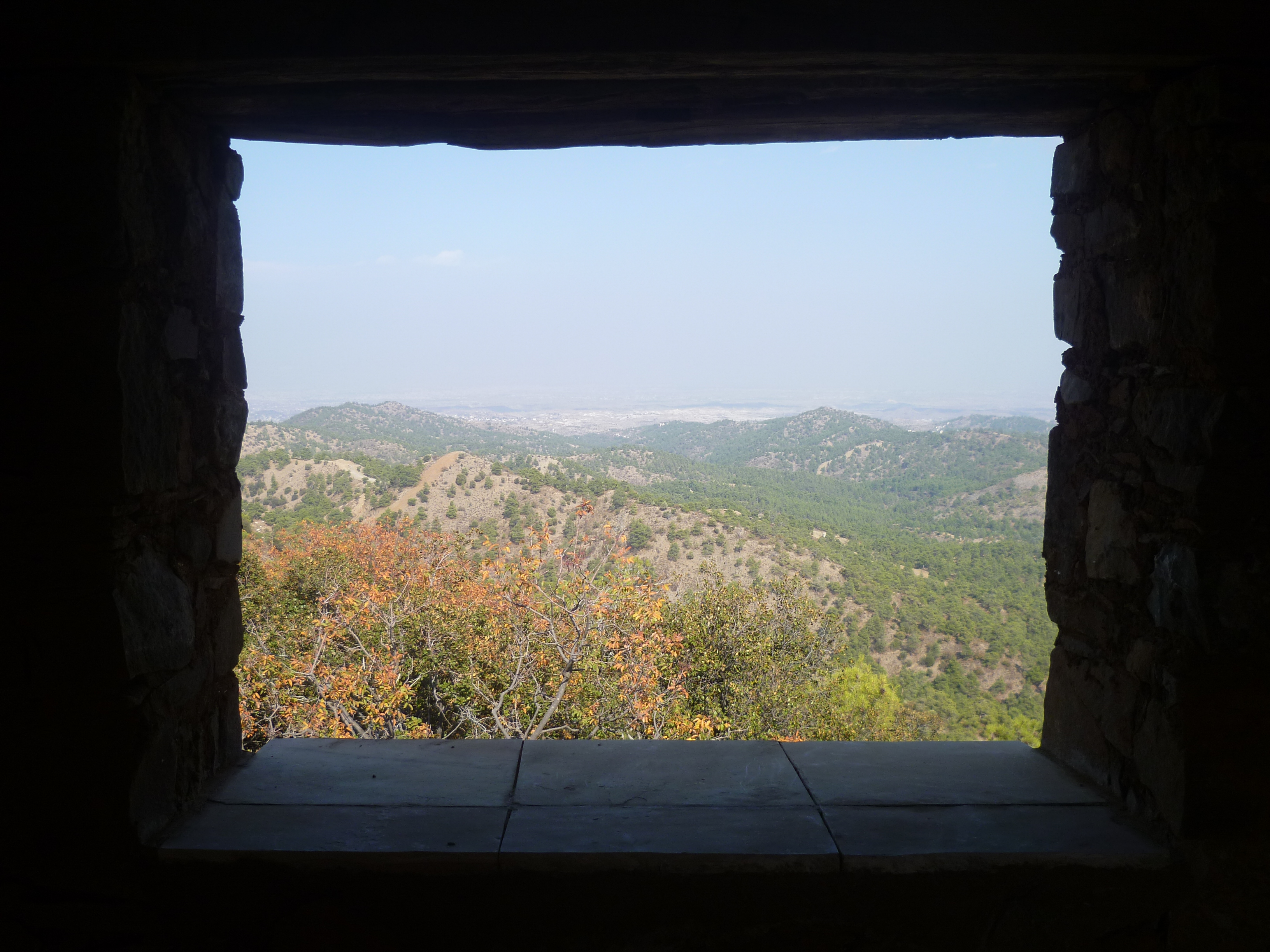
The earth road winds around the side of the mountain. Keep to the main wide earth road, ignoring any side tracks. As the valley opens out to your right you will be able to see Nicosia and the Mesaoria plains in the distance. About 20 minutes or so after leaving the monastery you will also see the white globe of the Machairas Forest Station high on the mountain ridge ahead of you – just above where you parked your car!
Keep on a downhill path and at 2 hours 55 minutes the track passes through some pine woodland, turns in a U-bend to cross a stream on a concrete bridge at the bottom of the valley and starts to climb up the other side. Two minutes later you will arrive at a 4-way junction. The main track curves to the right and another track turns sharp left in a hairpin bend – ignore both of these and take the middle trail (heading roughly North West) which branches off left from the track you are on and climbs up through the trees.
After climbing steadily for about 10 minutes you will come to another track which dog-legs to the left. Ignore it. Continue along the main track as it crosses over a wide fire-break.
After a few minutes note the black water pipe running along the side of the track. This continues intermittently all the way to Mantra tou Kampiou.
At 3 hours 35 minutes the trail emerges onto an asphalt road. Mantra tou Kampiou is just to the right of this junction. It’s a large picnic site (usually deserted, occasionally busy at weekends and absolutely rammed on OXI Day!) with plenty of shade and it’s a good place to stop for a break.
When you are ready to move on, walk down the road away from the picnic site in the direction of Machairas Monastery. After about 4 minutes as the road bends left and then curves around to the right you will see a Forestry Department information board at the start of a track to the left. This is the start of the Mantra tou Kampiou – Kakakephalos nature trail which is your onward route.
Turn onto the earth track and climb gently along it as it follows the course of a stream to your left.
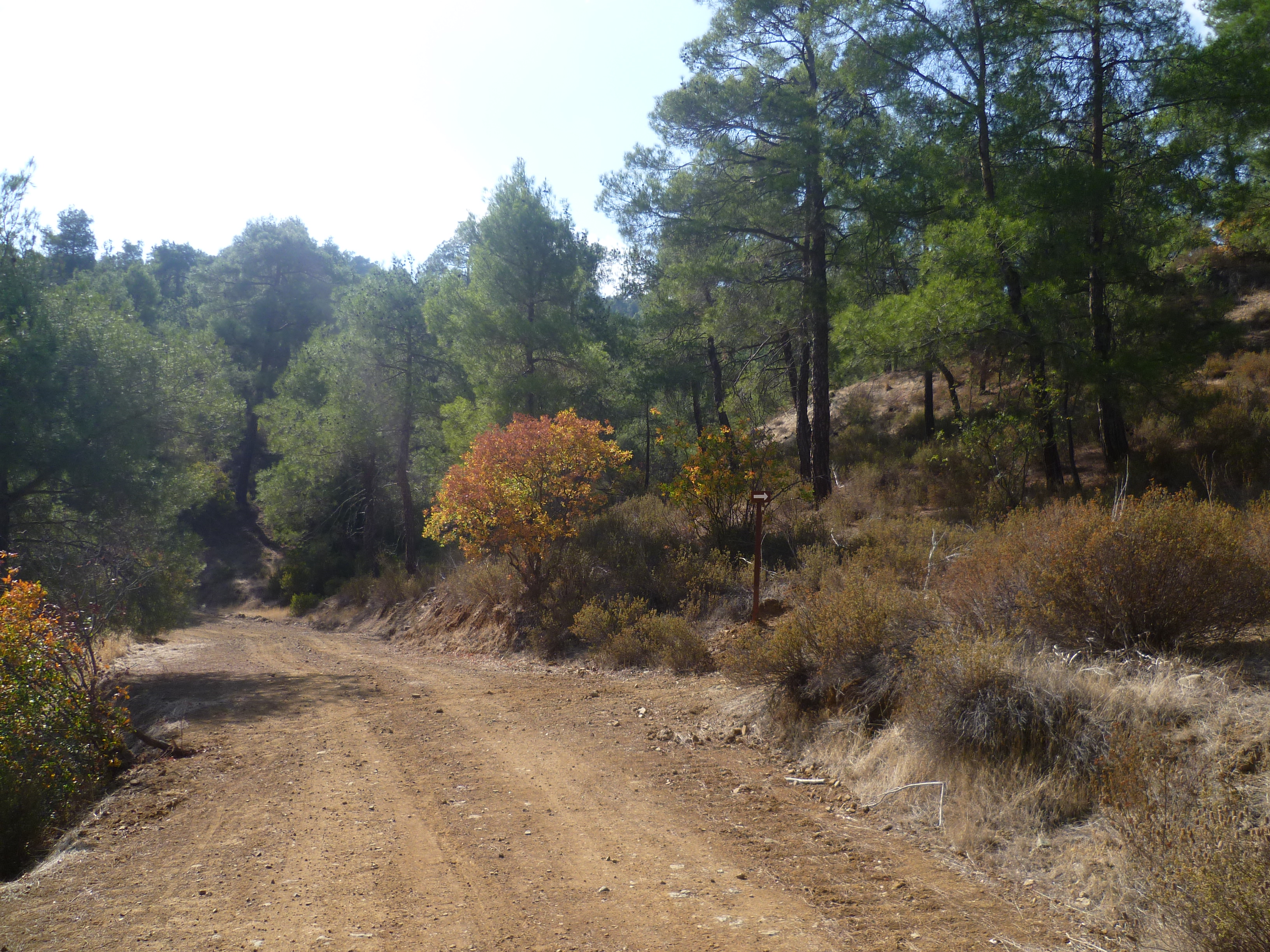
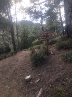
WATCH CAREFULLY FOR THE NEXT TURN After about 17-20 minutes (4 hours) the footpath leaves the earth track and heads into the woods to the right. It is a very clear path once you get onto it, but easy to miss as you stride along the earth road. There was a sign here when we did the walk in 2022 (see photos below) but it had one in 2023 (replaced by a cairn of stones), so do keep your eyes peeled. The footpath dog-legs away from the main track. (Note that the main track continues for about an hour but then comes to an abrupt dead end. We tried it once….)

You’ve quite a climb back to Kionia from here, so it’s quite a tough hike up this path, but believe me it’s worth it as you’ll be rewarded by wonderful views.
The path zigzags upwards and after about a quarter of an hour you reach a ridge. Your path turns left to follow the ridge – you’ll again be able to see the Machairas Forest Station ahead and above you.
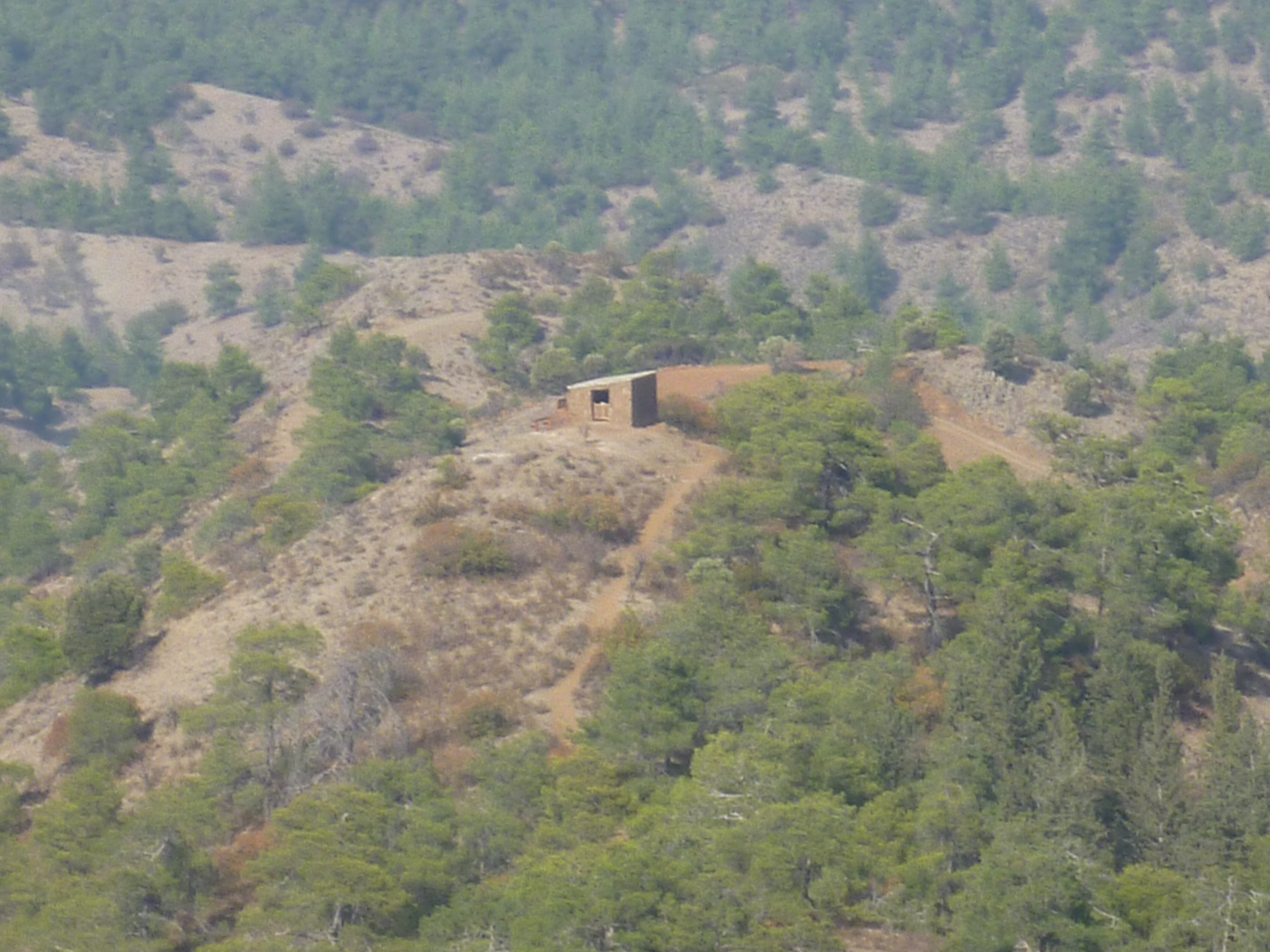
At 4 hours 25 minutes you arrive at ‘Hatzilouka Shed’, a remote shepherd’s hut (880m). The hut was built in 1930 and restored in 2013 and it commands fantastic views across the valley.
Continue walking uphill along the path. After 3-4 minutes there is a junction with a sign pointing uphill to Kakokephalos: take this route.
It follows the ridge at first, then skirts to the east side of the ridge before re-crossing to the west side. The Machairas summit pops into view from time to time as you climb, each glimpse bringing you a little closer. Also, look across the valley to the west to see a large monument. This is very close to the hideout where the EOKA fighter, Grigoris Afxentiou, met his death. I’m not sure whether the monument commemorates Afxentiou. One day I’ll go and find out……
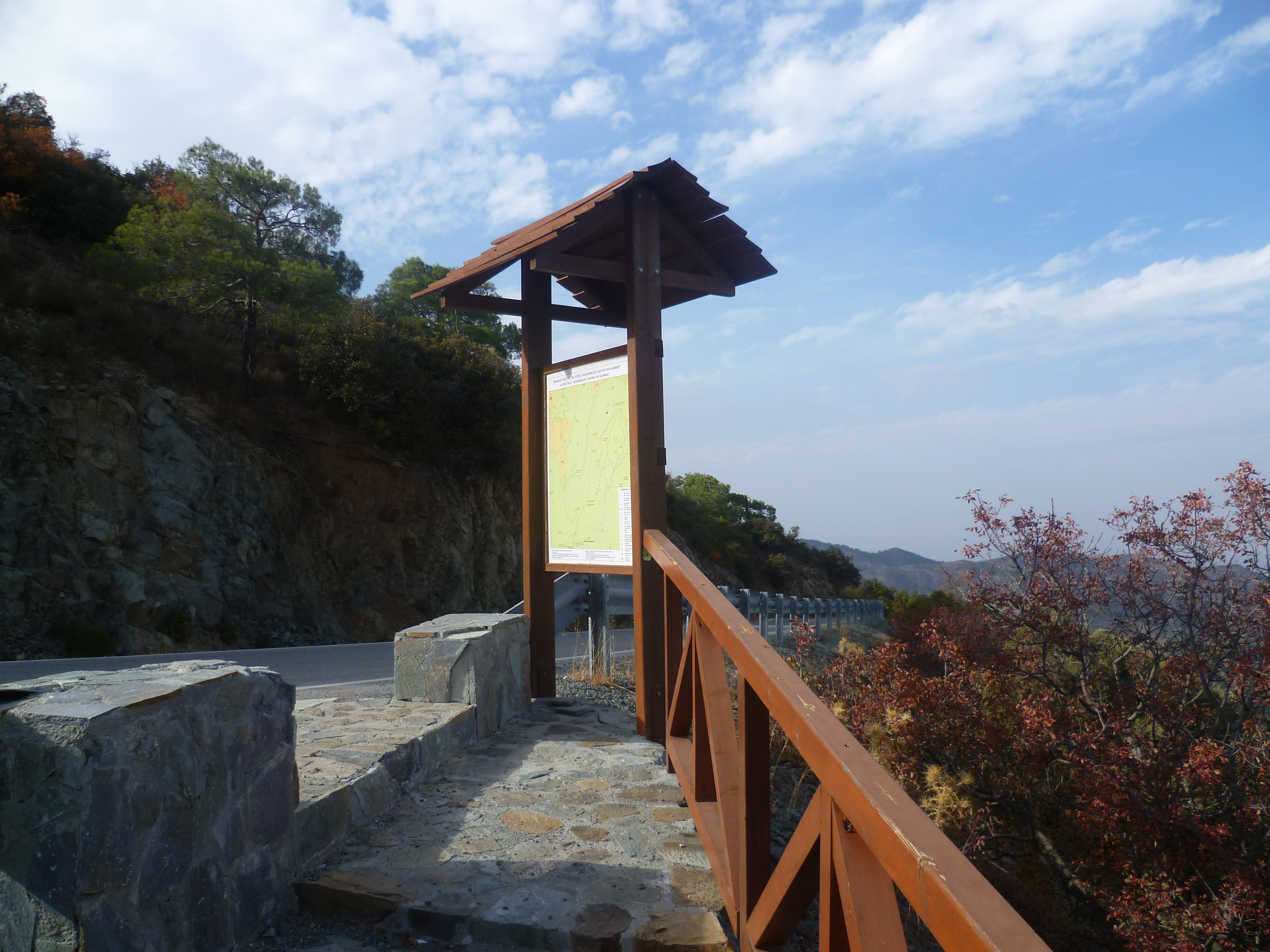
Keep walking, and climbing, and at 5 hours 20 minutes you will reach an asphalt road and an information board which maps the Kakakephalos – Mandria tou Kampiou nature trail.
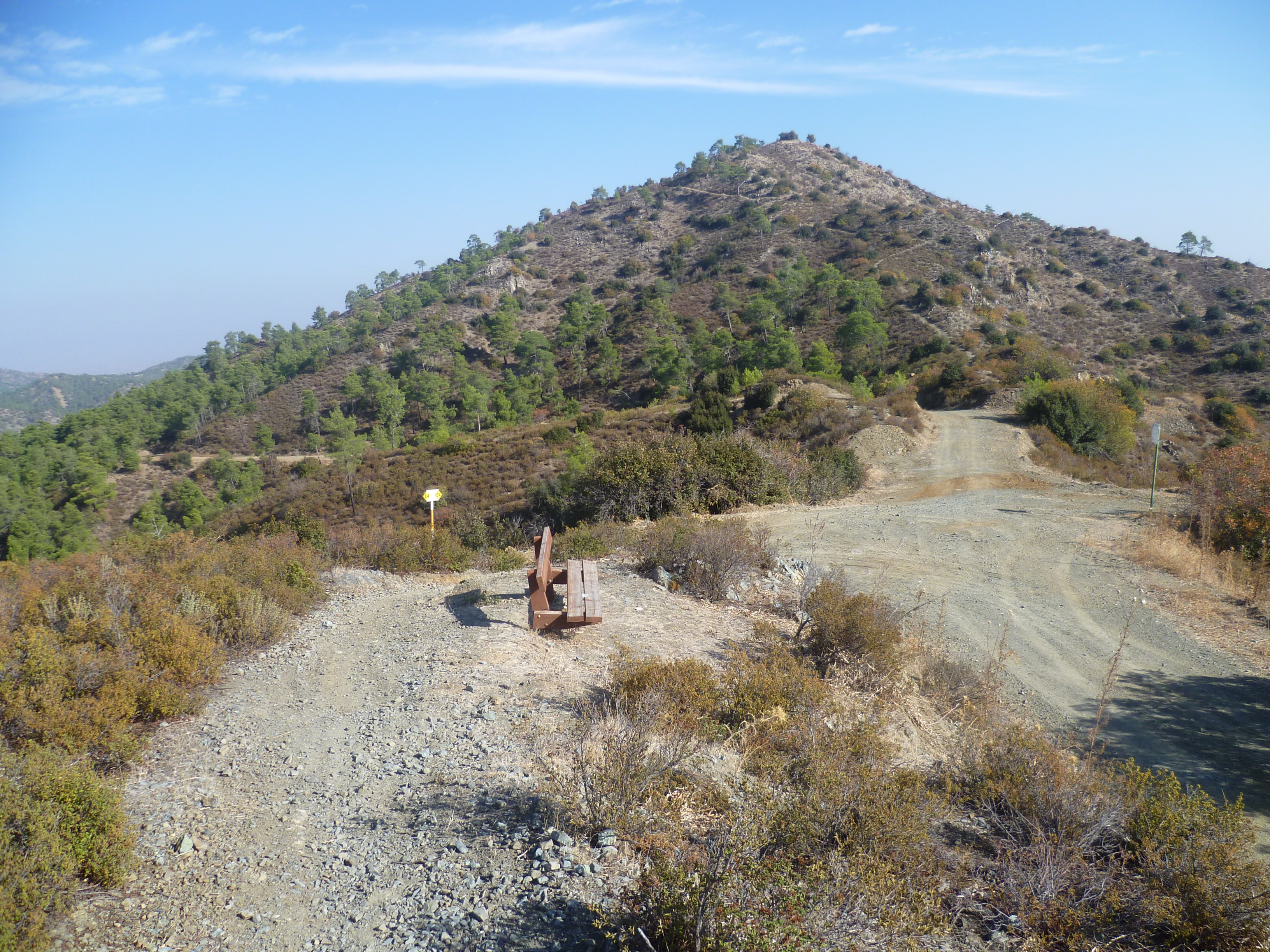
Turn left onto the road. As it curves around the mountainside you will pass a viewpoint on your left. This is next to the summit of Kakakephalos (1235m).
At 5 hours 35 minutes you arrive back at your start point: Kionia picnic site.
We once arrived back here after dark (having missed that turn onto the footpath at 4 hours!) and were welcomed by scops owls calling all around us. Magical.
Birds seen on this walk: Blackbird, Blackcap, Chaffinch, Chukar, Coal Tit, Collared Dove, Cyprus Wheatear, Great Tit, Greenfinch, Hooded Crow, Jay, Kestrel, Magpie, Robin, Sardinian Warbler, Short-toed treecreeper, Song Thrush, Spotted Flycatcher, Stock Dove.

I have done these walks but separately, as linear treks. Very nice that you manage to combine them in a loop! I will try it one day…Just a little comment…this is part of Nicosia district not Larnaca district. The other valley of Machairas that goes south towards vavatsinia is larnaca district
Hi Sara – glad you enjoyed the walks. I knew this trail was close to the Nicosia/Larnaca district boundary but didn’t look too closely. We were keen to have something under the “Larnaca Walks” section as we’re based in Lemesos and don’t tend to go to the east of the island quite so often! If you know of any other good, long walking trails let us know – we’d love to try them! Oh, and check out our new book – http://sunflowerbooks.co.uk/product/walking-in-cyprus-south/
Best wishes
Mark
An interesting adventure walk in the wild nature, in my style.. 🙂 😉
Than you very much for such an accurate detail of this hike- we did this today. A really great hike and thanks to you we didn’t get lost even once!
Thanks Allan – glad you enjoyed it. Well worth the climbing just to see Hatzilouka Shed!