Agios Neophytos – Melissovounos – Koili – Agios Neophytos
Date Last Walked: October 2019
Distance: Approximately 4 miles (6.5 km)
Duration: 1 hour 50 minutes
Difficulty: A fairly steep climb at the start and a slightly tricky descent down to Agios Neophytos monastery at the end. Very little shade throughout.
NB: Please see the recent (January2023) comment on this walk below. The last section back down to the monastery is not easy to find so please make sure you leave sufficient time. We will re-check this walk later this year.
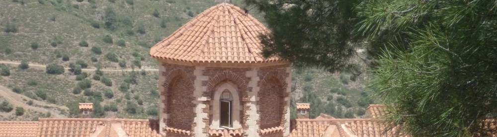
This walk starts from the 12th century monastery of Agios Neophytos, situated just outside the village of Tala and a few miles north of Paphos. The monastery is a well-known tourist attraction – particularly popular with Russian Orthodox visitors – and there is plenty of (free!) parking in the car park outside the monastery walls.
Starting from the car park next to the monastery café head back down the quiet asphalt road towards Paphos. You will pass a right-hand turning down towards Tala after about 100 metres – ignore this and, after a further 80 metres (before an old stone warehouse on your left), turn sharp left up a dirt track (5 minutes).
The track climbs quite steeply and you should follow it, ignoring any smaller tracks off to left or right. After 10 minutes it opens out into an olive grove and wends it way clockwise around three sides of the grove before coming to an asphalt road. Turn left and walk briefly up this cul-de-sac (with a large new house on your left) until it ends just before reaching two houses.
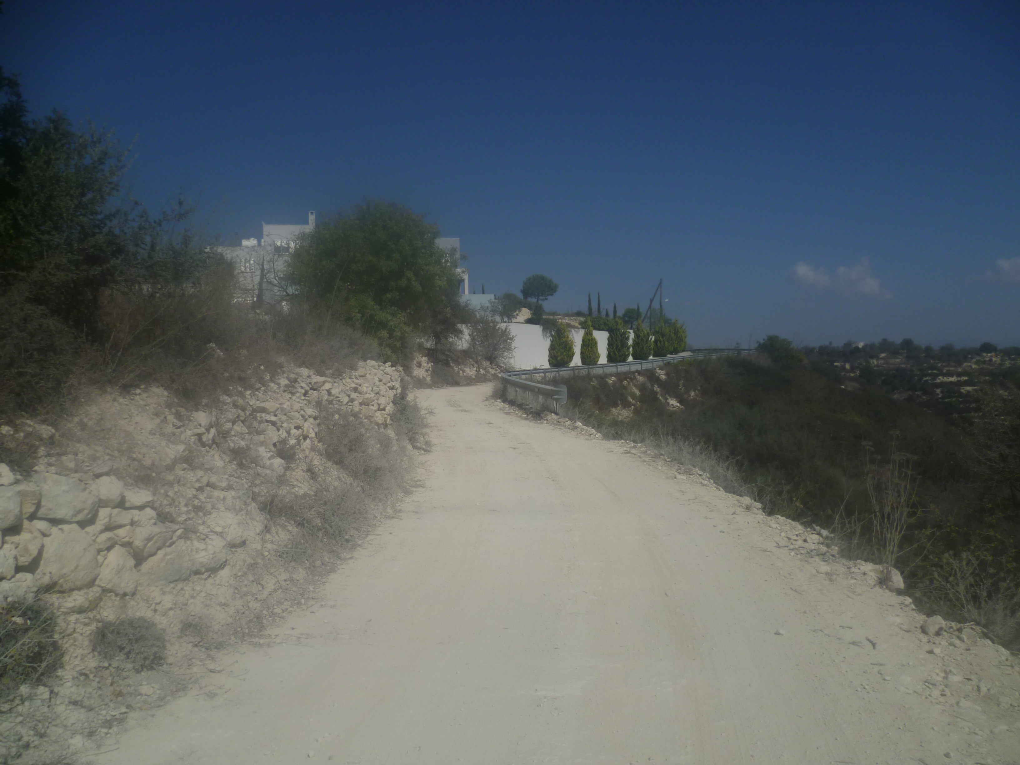
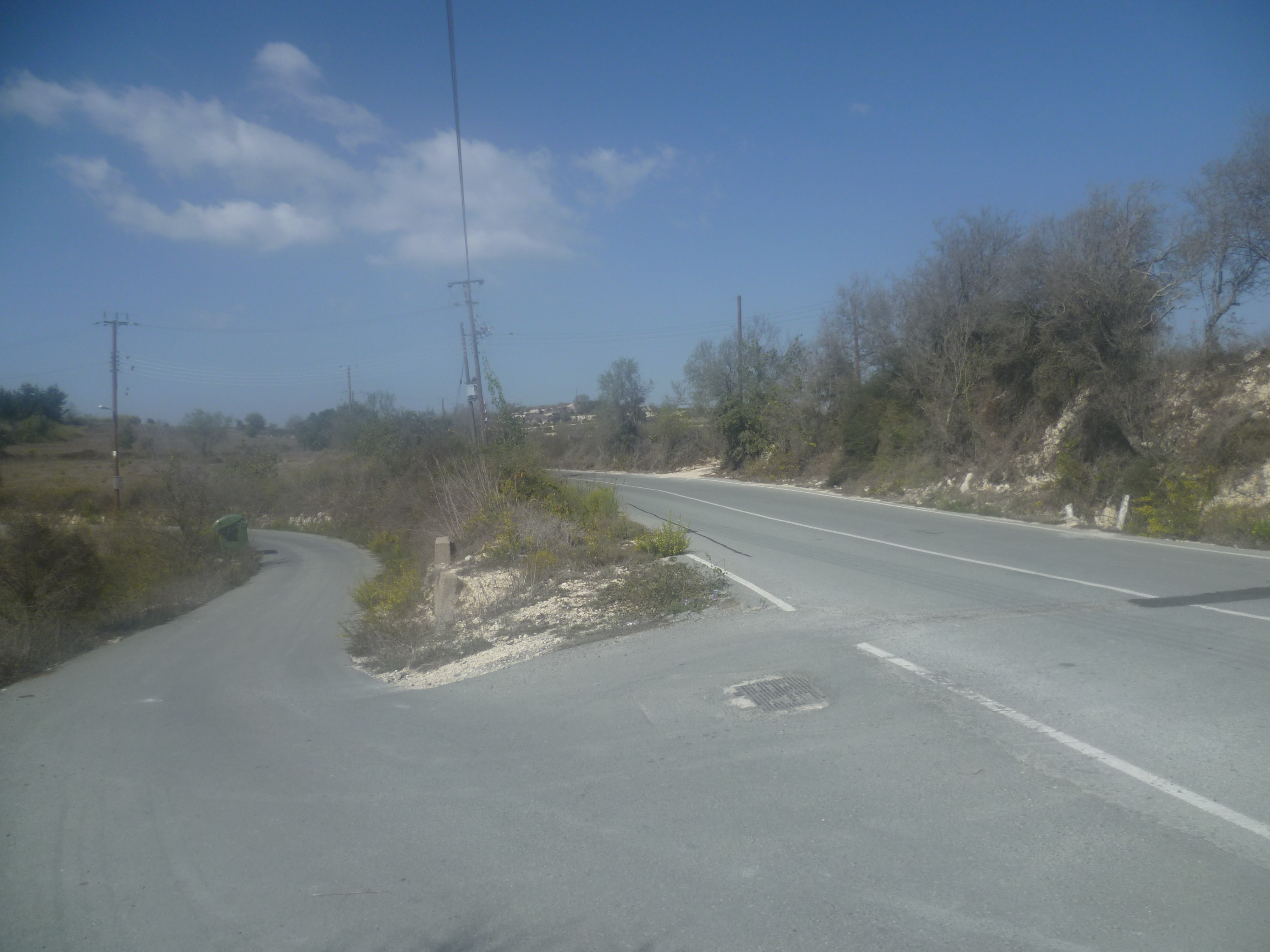
Walk up a low bank at the end of the road, follow a track up towards the houses until it comes to another asphalt road. Turn left here and follow the road for about 30 metres until it degenerates into a dirt track on your left and begins to climb below the summit of Melissovounos.
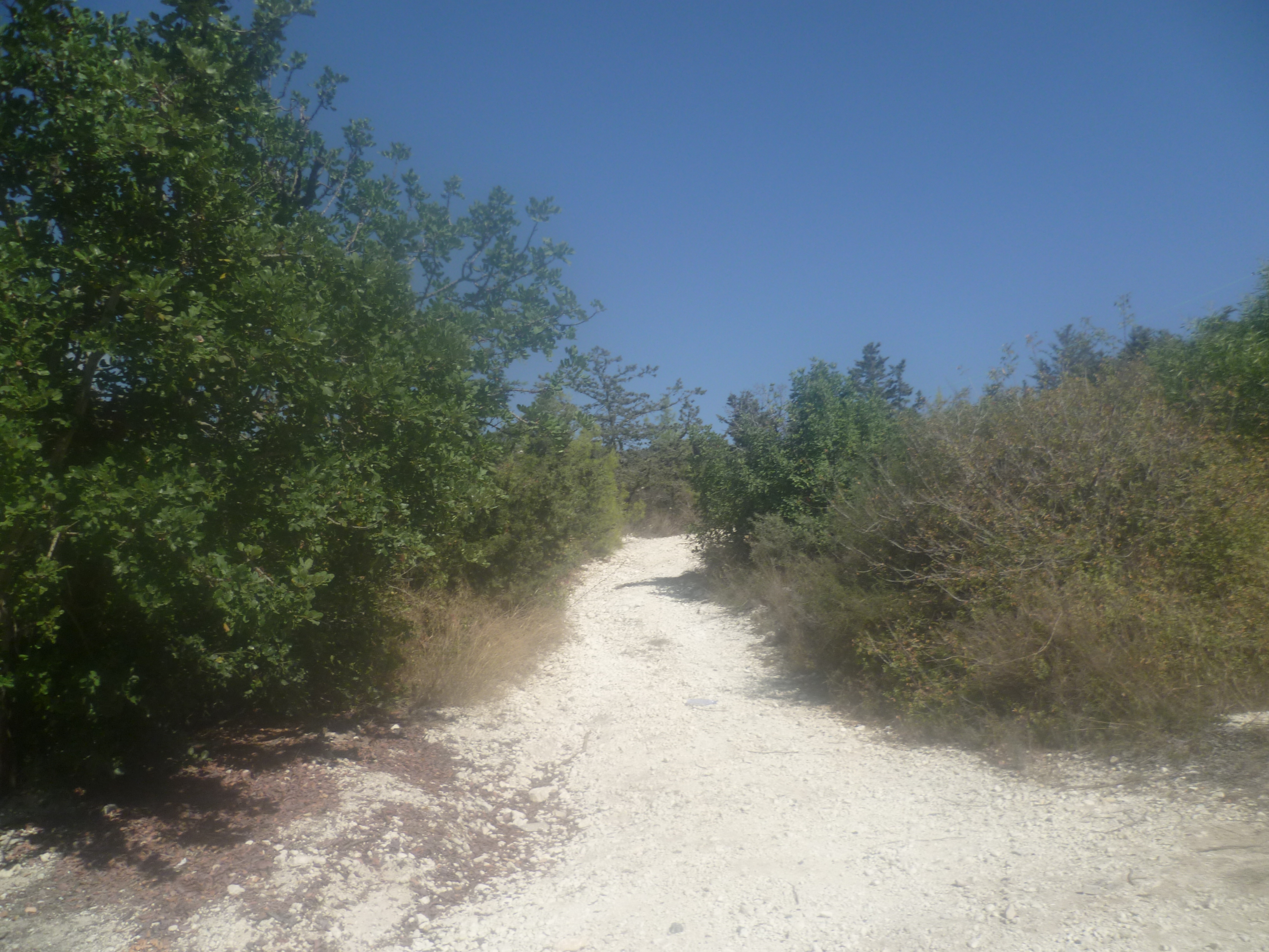
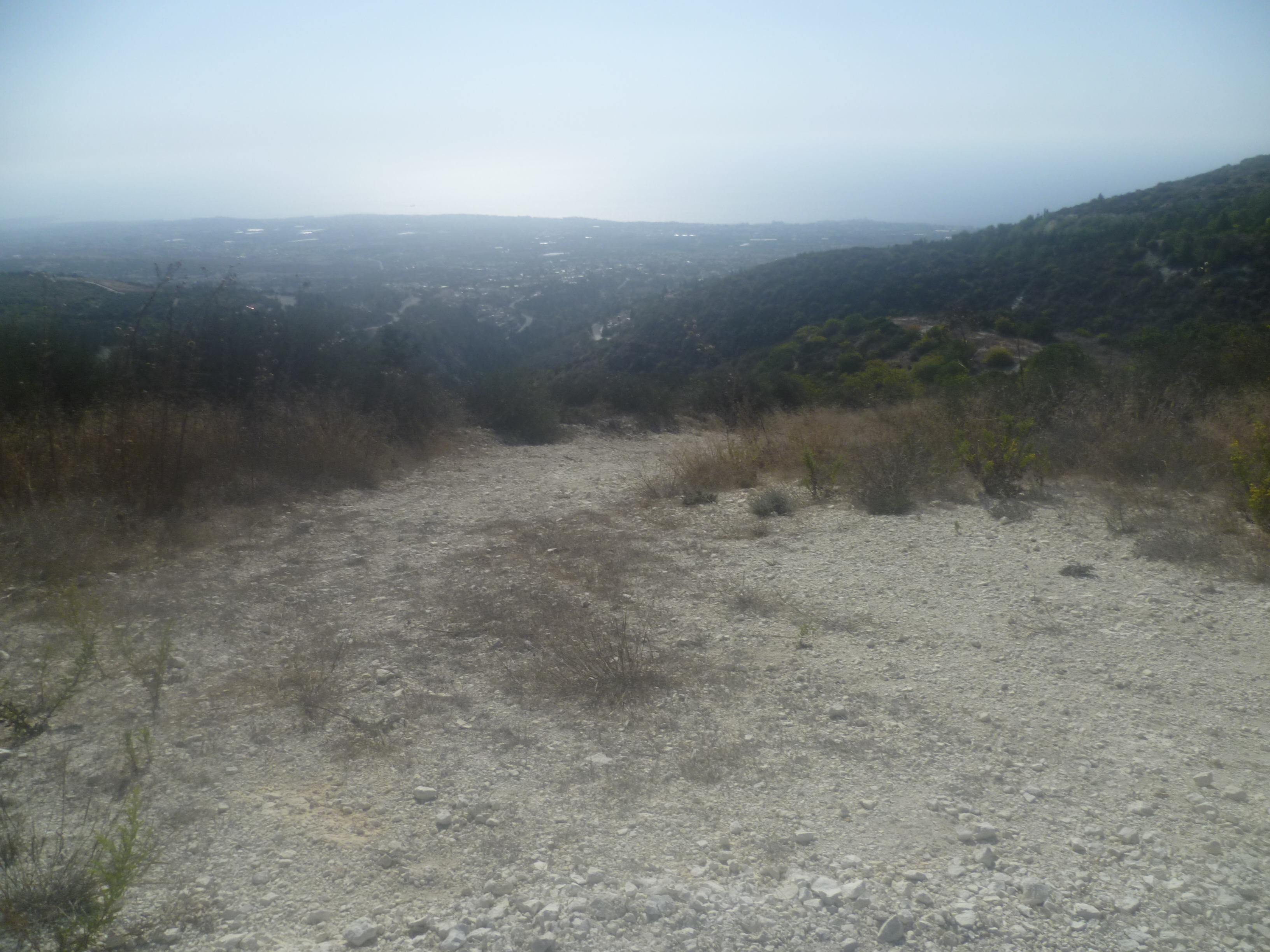
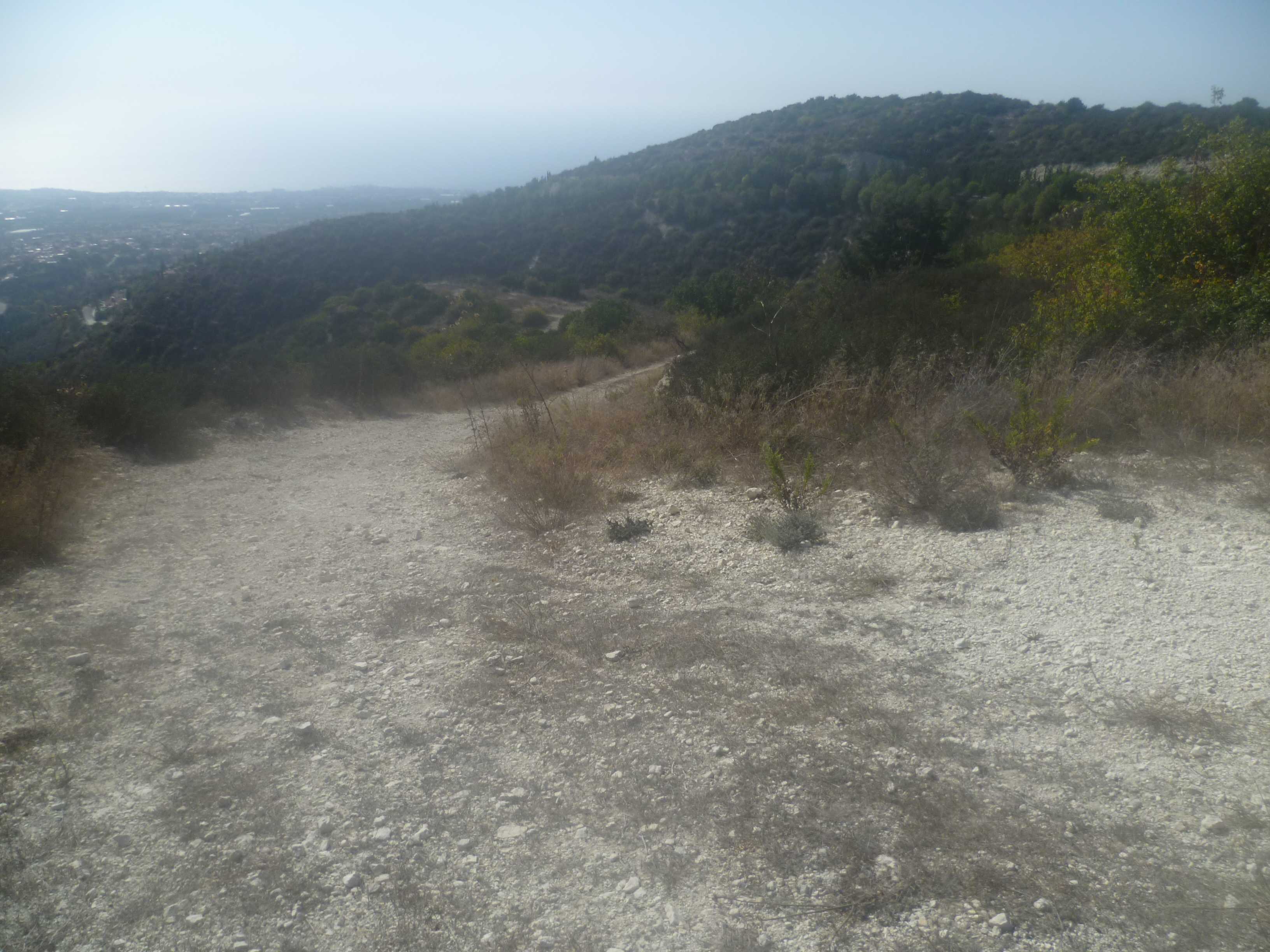
You should now follow this upward path – there’s no shade and it’s a bit steep in places. It also suffers from the scourge of Cyprus suburban walking – fly tipping! However, it does offer panoramic views of the coastline far below. After 35 minutes you will come to a junction…
A right turn here offers a short detour up to the radio aerials at the 590-metre summit of Melissovounos. You will of course have to retrace your steps back to this junction when you’re done!
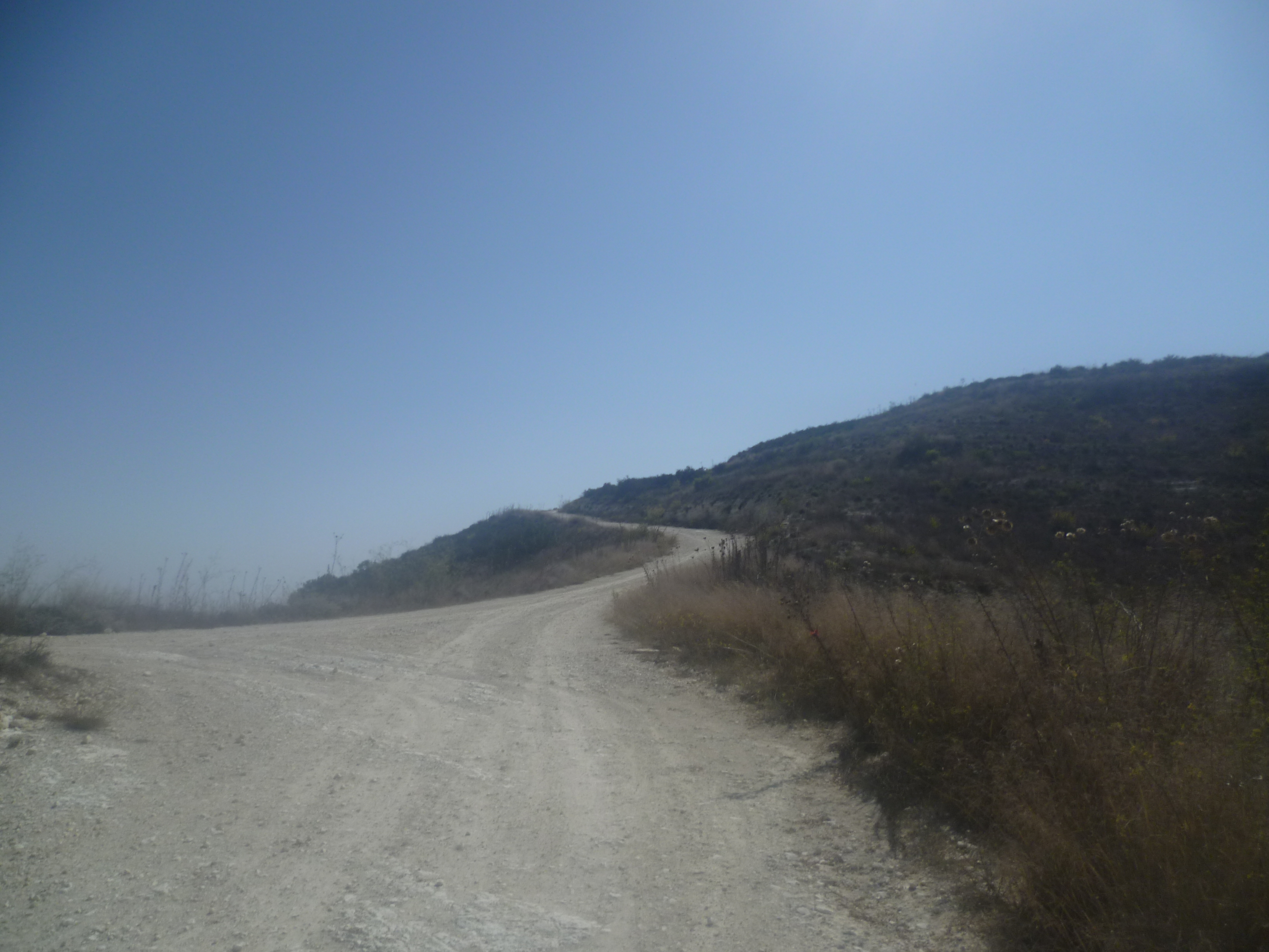
Otherwise, turn left at the junction and continue to follow the track uphill until it reaches a crest at around 45 minutes. No more climbing for a while now as the path veers left and gently undulates – stay on the track, ignoring any potential turn-offs, as it wends its way towards some houses and turns into a quiet tarmac road.
Walk past the houses on your left, then head downhill and around a right-hand bend, passing a further house on your right, before arriving at a junction (1 hour).
Turn left onto the larger – albeit quiet – country road and walk up towards the village of Koili. It’s about a kilometre into the outskirts of the village and, at around 1 hour 15 minutes, you will pass a bus shelter on the right-hand side of the road…
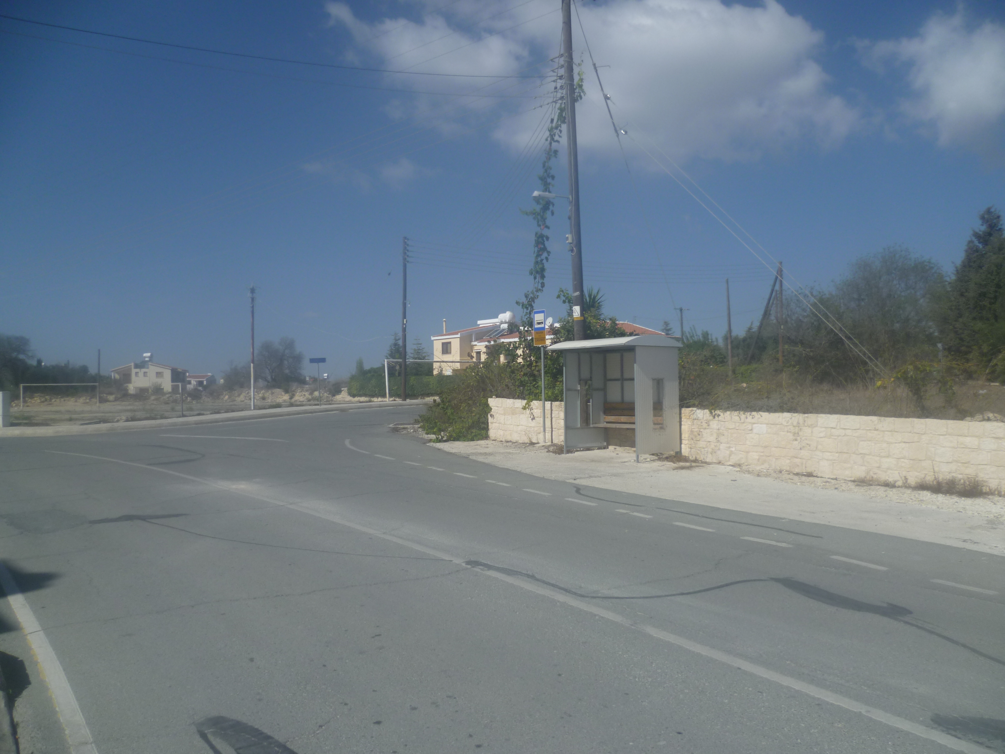
…and a few yards further on there is a left turn down Archbishop Makarios III Street. At the time of writing, a blue sign on a telegraph pole opposite this turning indicated (in Greek) the way back to Agios Neophytos.
Walk down Archbishop Makarios III Street ignoring the first street off to the right and following the road around to the right. You are walking through what passes for a housing estate in Cyprus – a few pleasant detached houses and a large expanse of open land waiting for possible further development.
Follow the road down to a T-junction, turn left into Keryneias Street and, fairly swiftly afterwards, turn right into the next (and only) street, which is unsigned. It’s almost impossible to go wrong here, we promise!
About 30 metres down this road there is a left turn onto a concrete track (1 hour 20 minutes)…
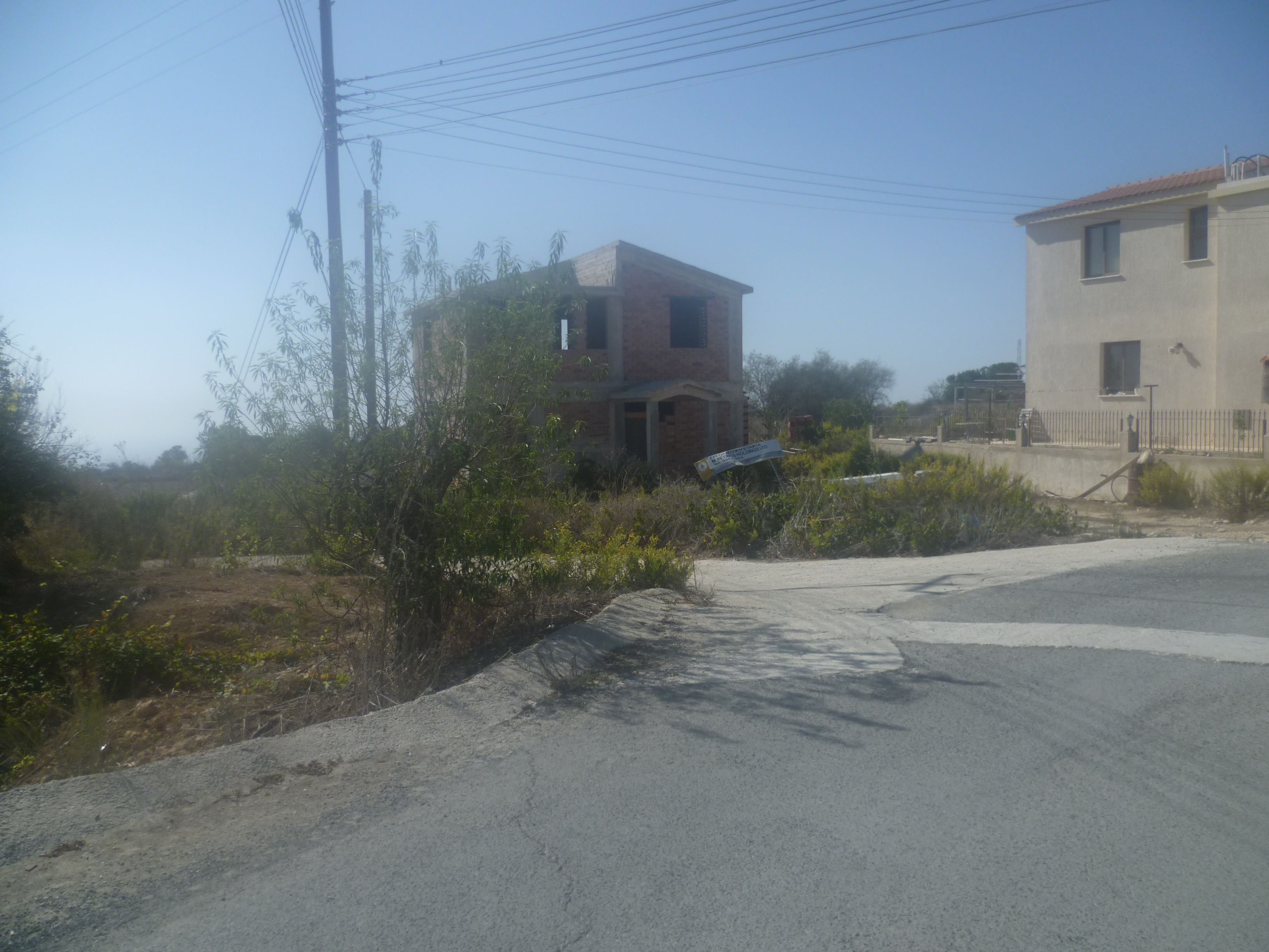
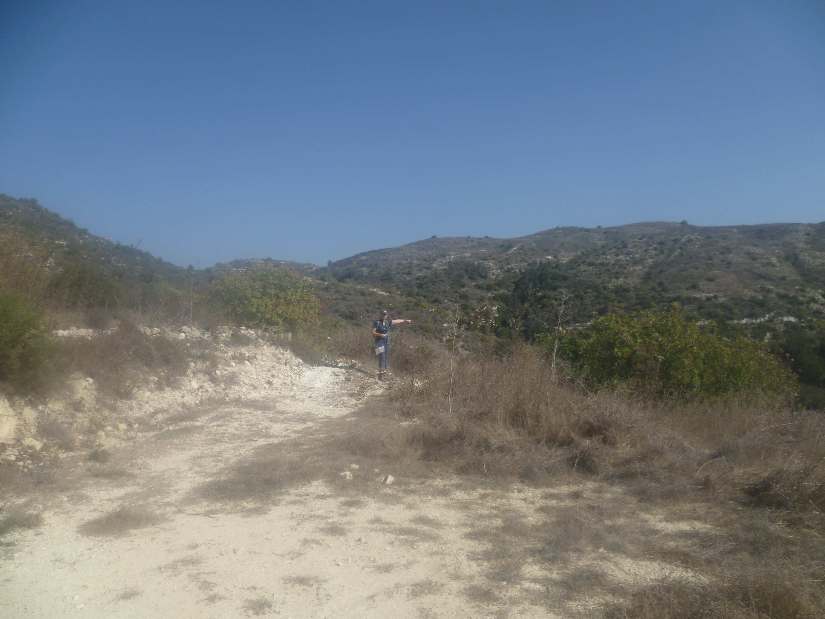
…which you should follow as it wends its way through vineyards. Keep to this main track as it heads downhill. After 4-5 minutes you will reach a junction of four tracks (1 hour 25 minutes). Take the first right-hand track, as indicated in the picture below:
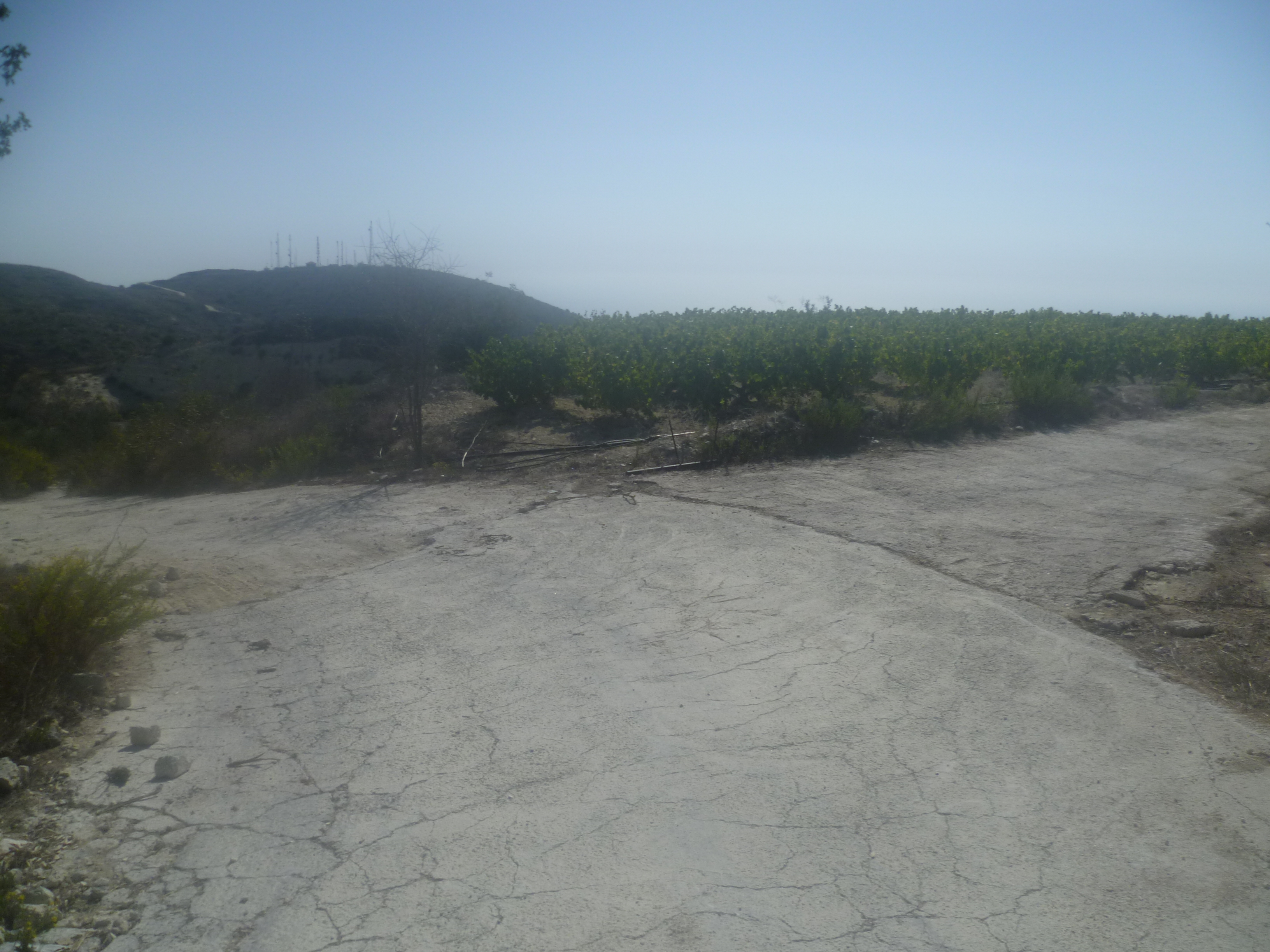
You will be able to see the Tala road across the valley to your right. You are now walking past a vineyard on your left. A few metres beyond the end of this vineyard you reach another junction – ignore the left-hand turns and continue straight ahead on the main track which heads downhill.
As your route turns 90 degrees left, ignore a rocky path to the right. About 100 metres further on leave the main track and turn sharp right (just before a left-hand bend) onto a downhill track. (1 hour 33 minutes). The pictures below indicate the path downhill.
Follow this track for about 300 metres until you reach a hairpin bend down to the right. At this point walk left for about 20 paces to find (perhaps hidden a little among the shrubs at what looks like the edge of a precipice!) a rocky path heading down the hillside to the monastery (1 hour 38 minutes). There is currently an arrow of stones lying on the ground which point to this path. Its precise location is indicated in the picture below.
Almost immediately on gaining this path you can see the monastery below you and the path gradually zigzags its way down towards it.

This has the feel of an old and well-trodden route pre-dating motorised transport and, we like to think (perhaps fancifully) that you are now walking in the footsteps of monks from many years ago.
The path comes out at a water tank at the back of the monastery and it’s a short walk round the monastery walls to arrive back at the car park (1 hour 50 minutes) and, more importantly perhaps, the monastery café!
Birds seen on this walk: Chiffchaff, Chukar, Common Buzzard, Cyprus Warbler, Cyprus Wheatear, Great Tit, Hooded Crow, House Sparrow, Jackdaw, Kestrel, Long-legged Buzzard, Magpie, Pigeon, Rock Dove, Sardinian Warbler, Stonechat, Willow Warbler.

This is a rubbish walk! In that there is lots and lots of fly tipped household rubbish everywhere on the first 45 mins uphill section. Abandoned sofas, chairs mattresses, etc. Tala municipal council should be ashamed of themselves as should Koili as there appears to be a rubbish dump just outside the village.
Frank – I feel your pain! Cyprus is a beautiful island…which makes it all the more baffling that many of its citizens happily spoil it by tipping their household rubbish down the side of scenic hills, valleys and river beds. We find that foreign visitors who enjoy the Cyprus countryside ALWAYS comment on pervasive fly-tipping. There’s no indication that the government or local councils care, sadly.
Really great walk, thank you for publishing this. I can confirm everything is as described above! Enjoying an ice cream in the cafe as I type!
Thanks again.
Thanks Tom – glad you enjoyed it! Looking out of my rainswept window here in the UK an ice-cream in the Cypriot sun seems like a distant memory!
Thanks for the detailed description of this walk which was v enjoyable. However, coming down to the last few turns and with the light gone, I somehow managed to miss the final left turn coming onto the path down to the monastery resulting in a somewhat panicked scramble down the brush and finding the path with the light of my phone. Word of warning: give yourself enough time to complete in future !
That final turn is tricky to find as it’s slightly counter intuitive. Although we’ve done this walk a number of times, the last time we did it we managed to miss it and ended up getting lost! So much for following our own instructions!
22 Jan 2023. A friend and I followed this walk today. We were OK until the left turning in Koili by the part built house as per authors photo. Then it went very wrong. The directions made no sense. There was no junction of 4 tracks. We tried many paths and returned to same place where there was main track, one left and one right. The main track came to a dead end with yet another rubbish tip. The right hand had a dead end sign and was part concrete with further down an area with concrete retaining wall obviously ready for a villa to be built. We managed to scramble down the side to join a downhill track which eventually got narrower and narrower. We could see where we started the walk hours earlier, could see the Tala road with crash barriers to the right but nothing else made sense. As dusk was an hour away we had no option but to head all the way back up to Koili and phone a friend to collect and take back to the monastery. I suggest the author takes this walk down for now and drives to Koili to where the part built house is and double checks the latter part of the route as it looks like things have changed. It’s a shame as was a beautiful day and we really enjoyed it, apart from the rubbish dumped, but it was quite stressful at the end with the sun starting to set. Please go back and check the last part of the route. Thankyou.