Trooditissa – Prodromos – Trooditissa
Date Last Walked: March 2026
Distance: Approximately 14 miles (22 kms) – Shorter walks (see below) of 11-12 km available.
Duration: About 5 hours 30 minutes (not including any stops)
Difficulty: Moderately easy walking at altitude along earthen roads and tracks. Steady ascents and descents but nothing very strenuous. Plenty of shade
GPX file available on request
This walk effectively divides into four sections:
A) Trooditissa Monastery to Kampi tou Kalogyrou (8 km)
B) Kampi tou Kalogyrou to Prodromos via Prodromos dam (7 km)
C) Prodromos to Kampi tou Kalogyrou (5 km)
D) Kampi tou Kalogyrou to Trooditissa Monastery (3 km)
The following – which is the walk which we did – covers all the sections in a figure of eight, but you can put together sections A & D or sections B & C to make shorter circular walks.
Park just outside the gates of Trooditissa Monastery. The GPS co-ordinates for this starting point are: 34.912922N, 32.838289E.
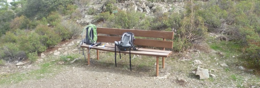
Walk through the wooden gates, past the monastery on your left and out the other side onto a clear earthen track. After about 7-8 minutes you will reach a junction where there is a bench and a shelter.
Continue along the track which curves around the mountain offering lovely views down to the village of Foini and – on a clear day – across to Limassol and the south coast.
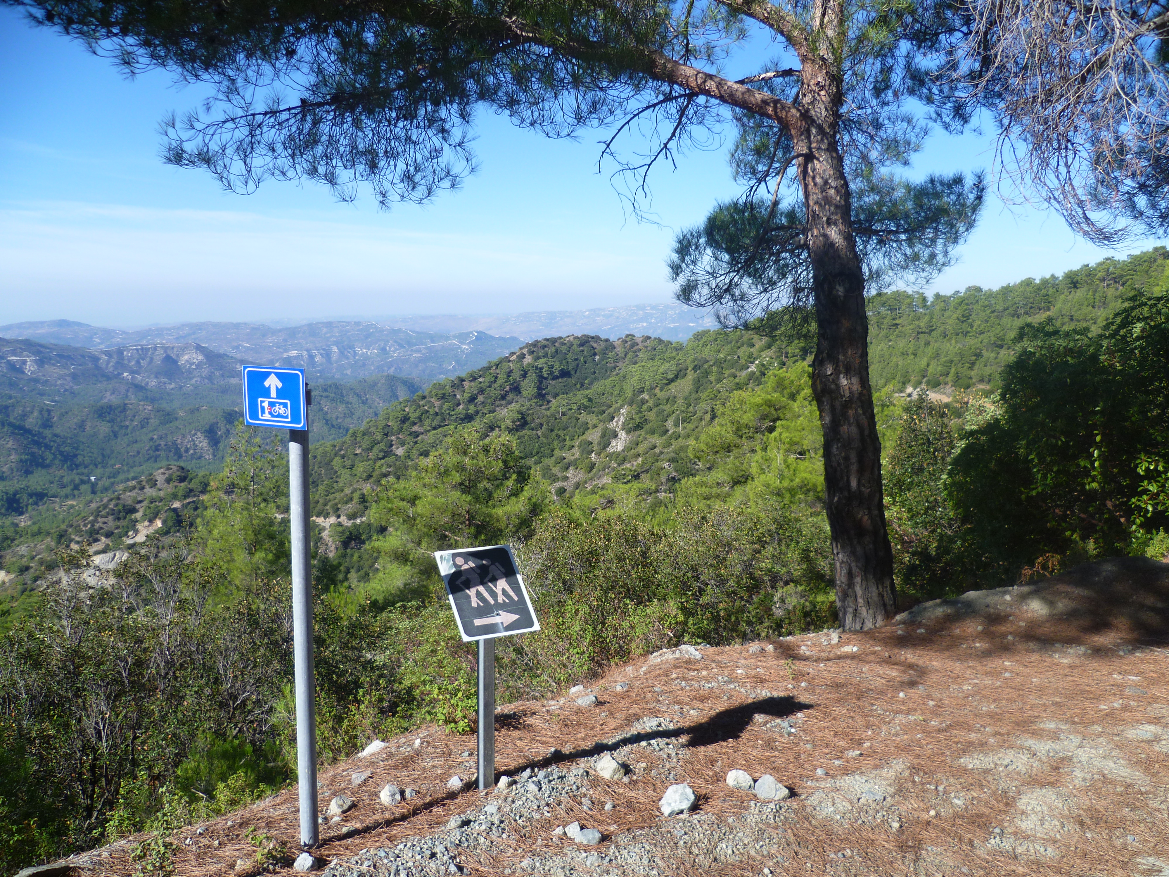
After about 20 minutes you will pass a trail off to your right – this is the return route. Ignore this for now and carry straight along the main trail, following the green hiking sign as shown in the photo below.
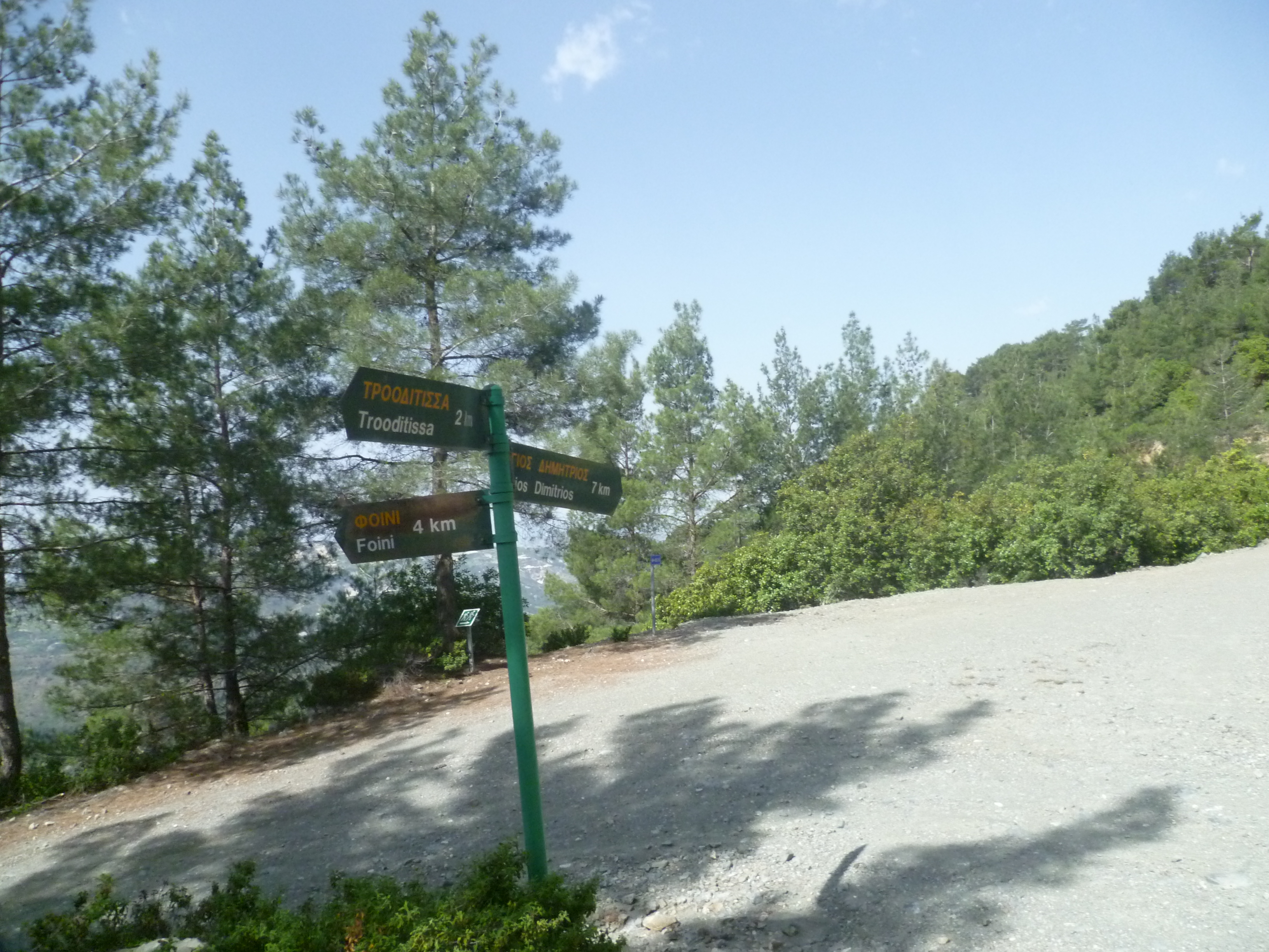
The path now opens out onto panoramic views of the valley below until, after 25 minutes, you arrive at a three-way signpost to Foini 4km, Agios Dimitrios 7km & back to Trooditissa 2km. Follow the route towards Agios Dimitrios.
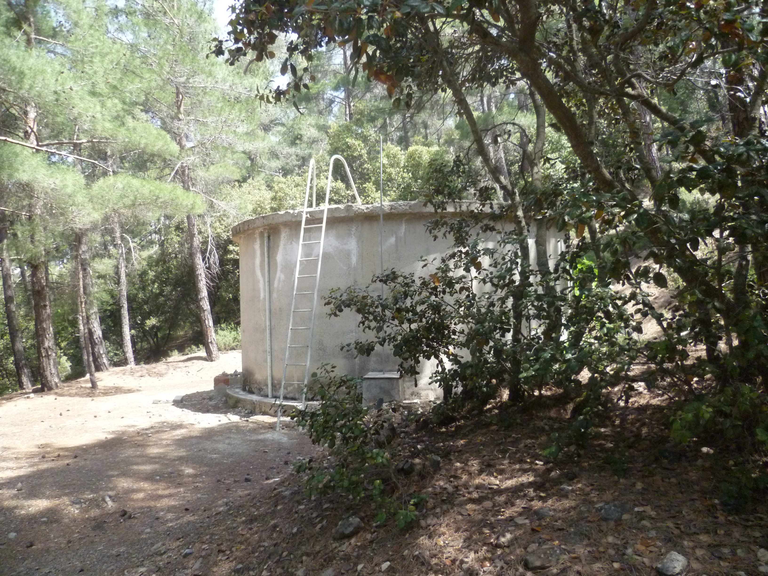
You will be walking on a clear contour-level path through some lovely pine forest. At 50-55 minutes you reach a clearing where there is a round concrete water tank and a signpost (currently hidden behind a tree!) to Agios Dimitrios 5km and to Prodromos 8km.

Turn right and follow the earthen road uphill towards Prodromos. You are now on the European Long Distance Path E4 and you will see periodic signs indicating this. The track climbs gently, offering early views of Prodromos nestling in the hills up to your left and of the famous Berengaria Hotel on the skyline above. In recent times we have seen moufflon in the woods here.
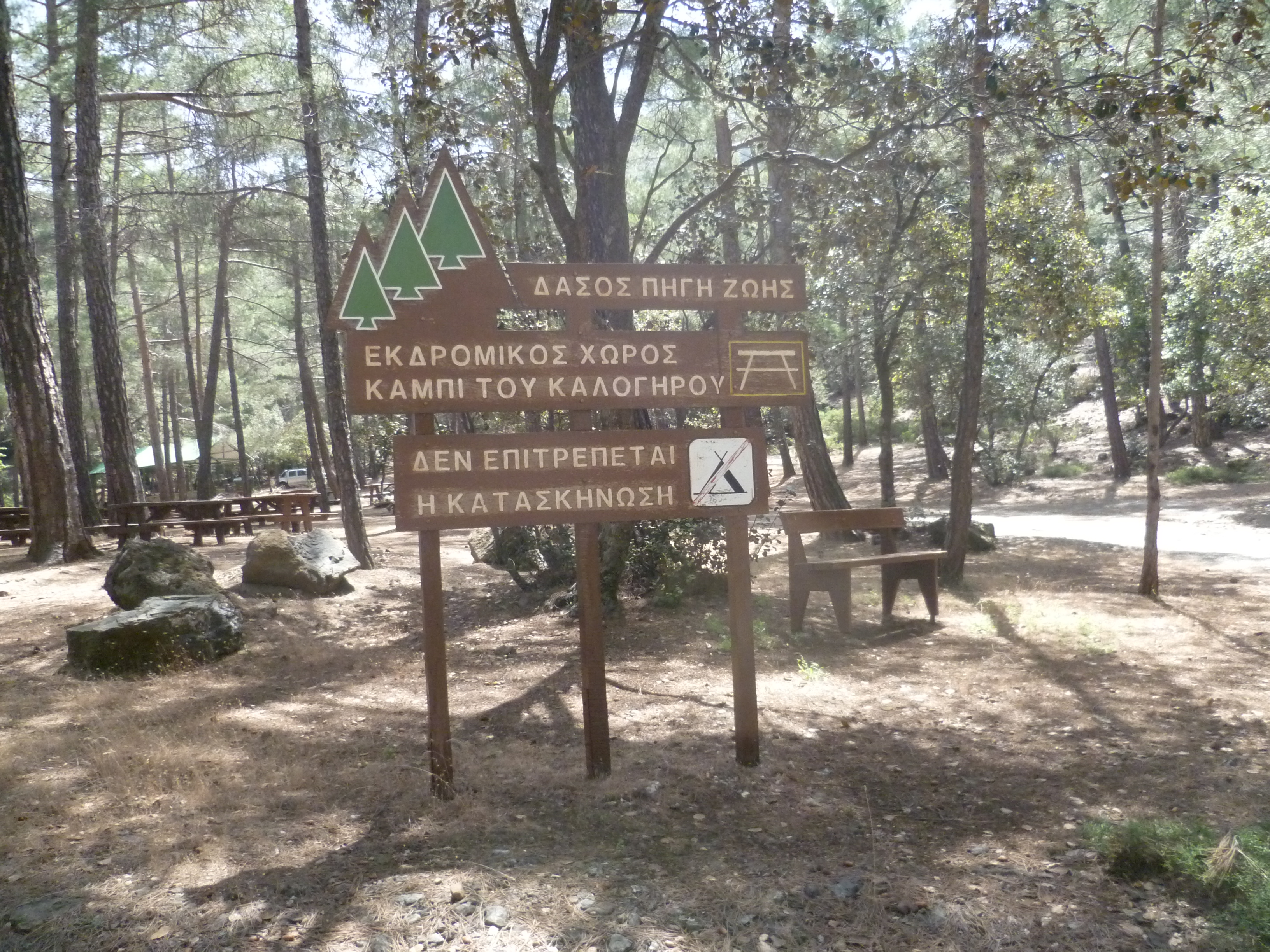
Ignore a downhill track to your left at around 1 hour 10 minutes and keep heading uphill. Then, at 1 hour 25 minutes you will reach a fork in the road where a signpost indicates Palaiomylos 4km downhill to your left. Take the right fork and continue uphill for another 5 minutes to reach the Kampi tou Kalogyrou picnic and campsite at approximately 1 hour 30 minutes. Toilets and drinking water are available here.
When you are ready to carry on, cross the main road (between Trooditissa and Prodromos) and walk 50 metres downhill to your right, rejoining the E4 path as signposted by the side of the road.

You will walk up a track which skirts around the right-hand side of a large concrete water tank.
Follow the path steeply uphill for about 7-8 minutes until, at 1 hour 40 minutes, you reach a T-junction with a wide earth track. Turn left here, leaving the E4 route (which heads off downhill to your right).
A minute or two later you pass a signpost pointing right to Asprokremnos. Keep following the trail straight ahead as indicated to ‘Prodromos Dam 4km’.
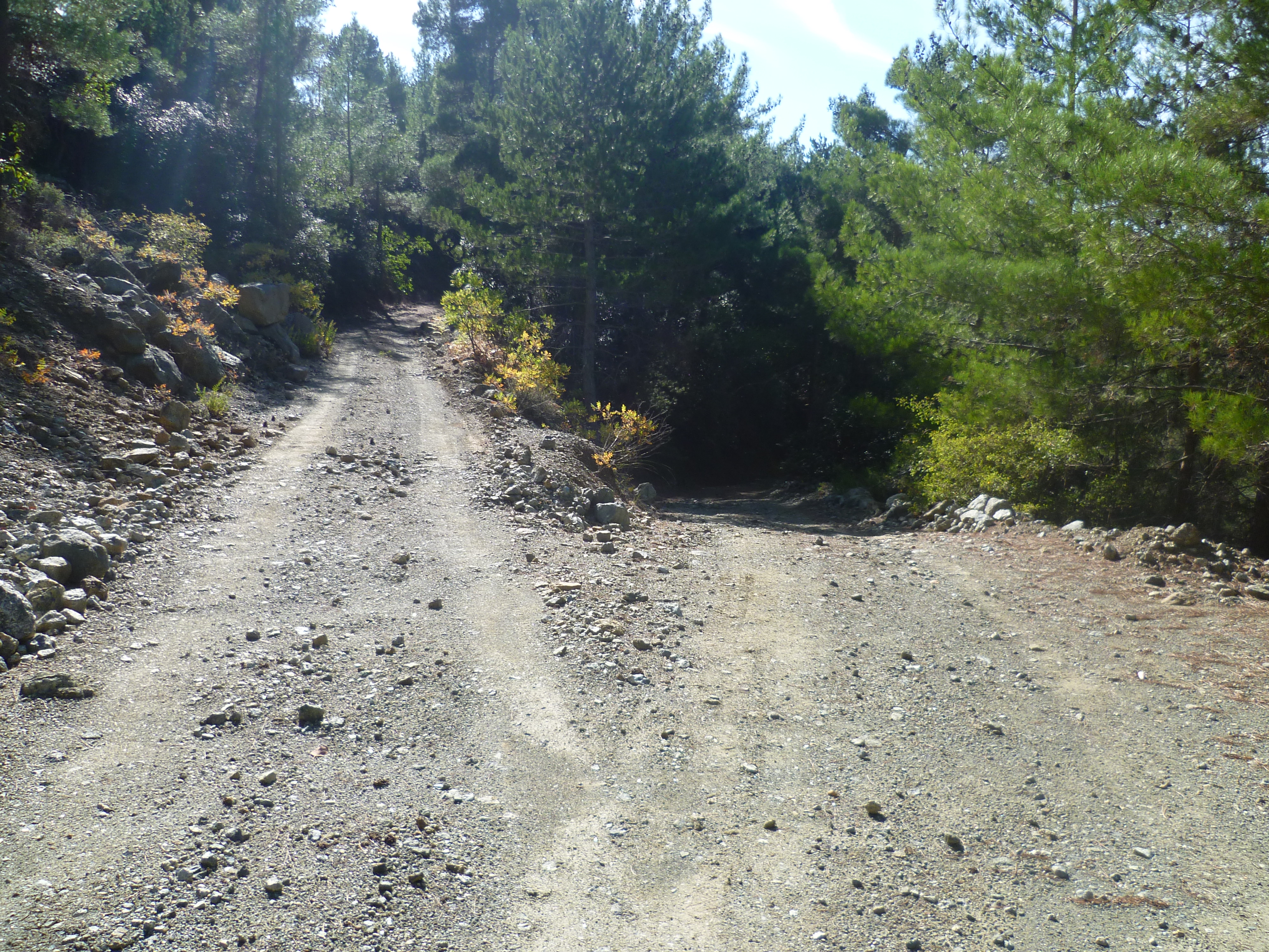
About 7 or 8 minutes later you will come to a fork in the track at approximately 1 hour 50-55 minutes.

To continue to Prodromos reservoir, take the right hand fork (in the photo above) heading uphill.
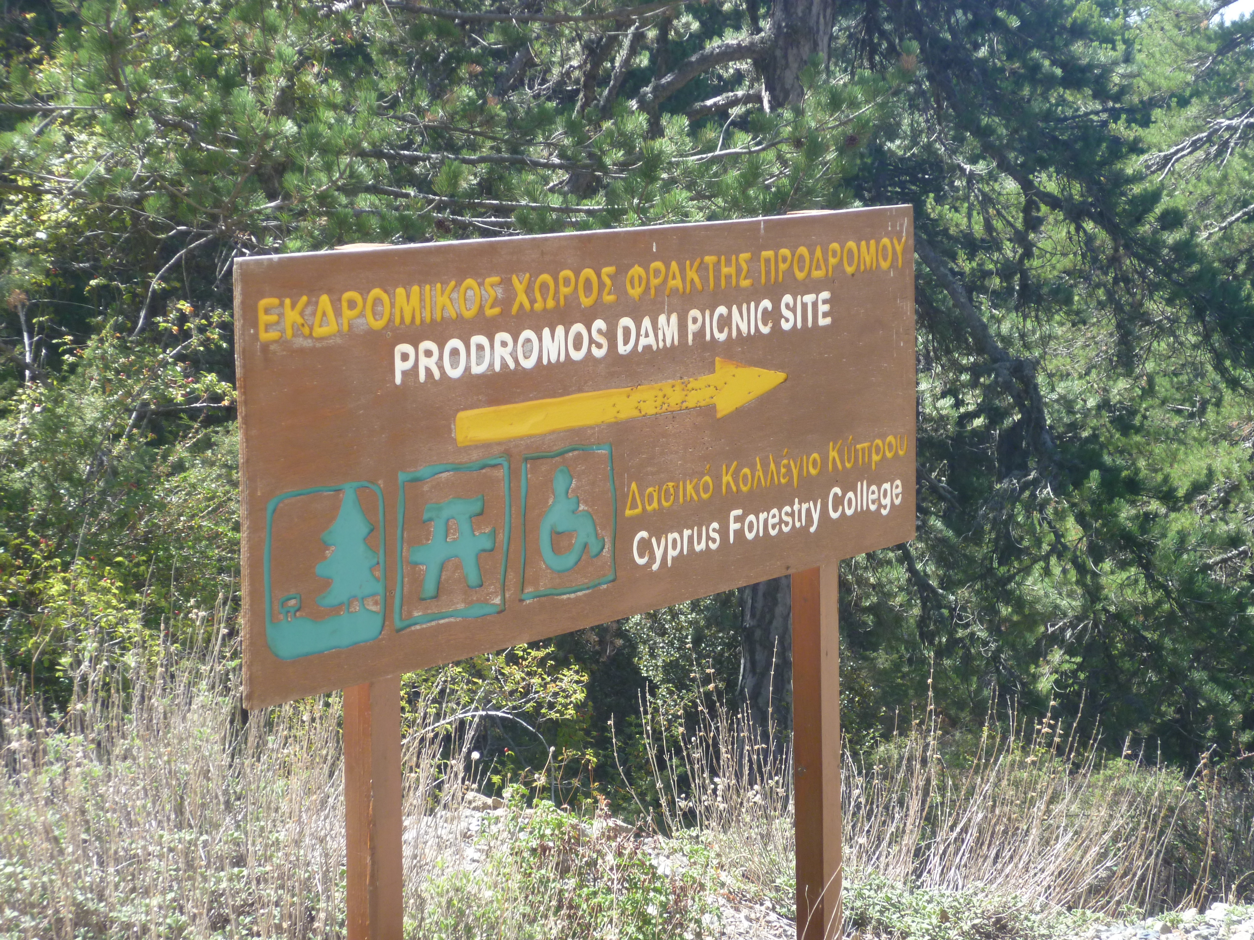
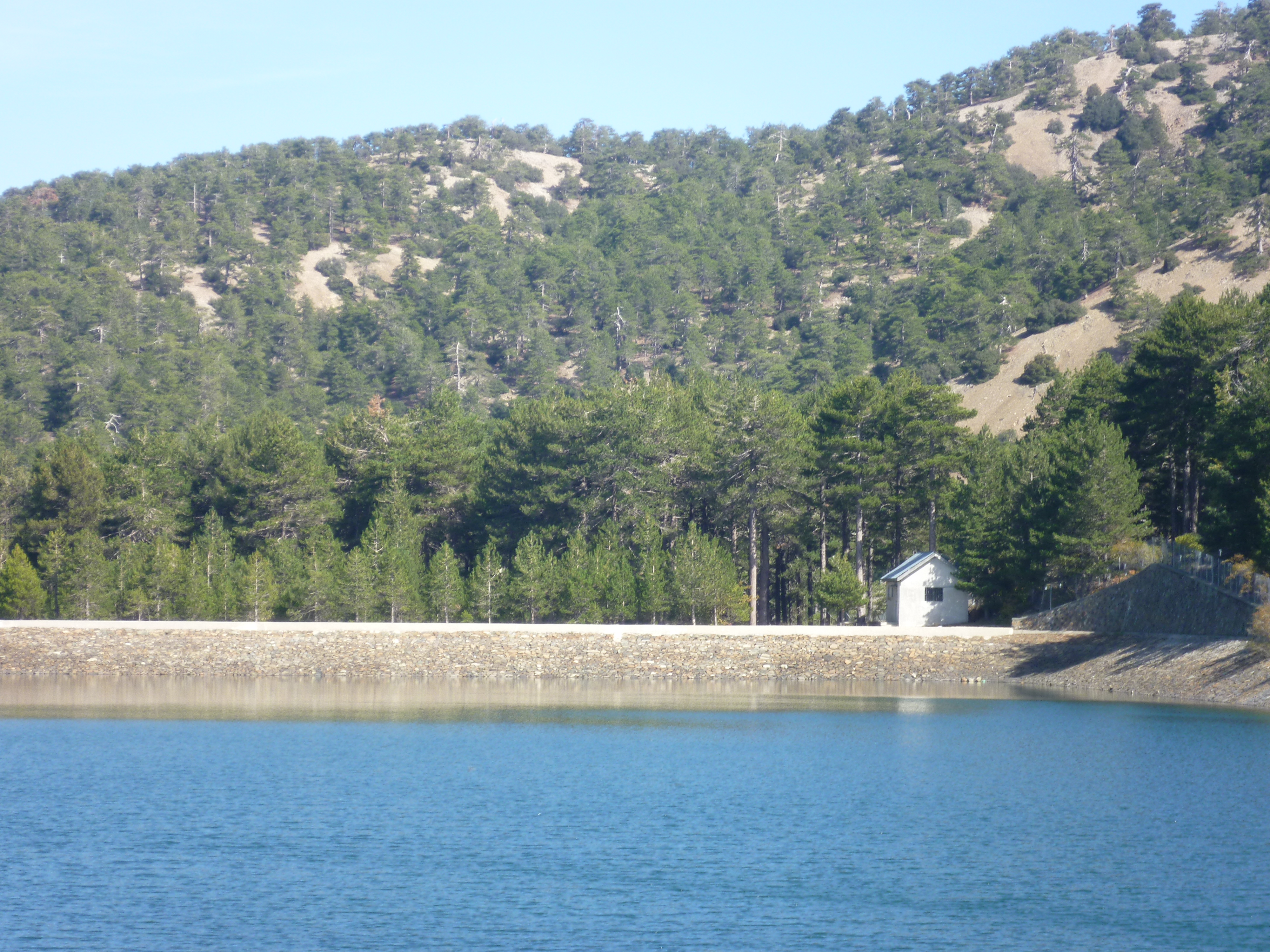
Keep along this track as it continues to climb steadily through scented pine forest towards the reservoir at 1573m above sea level. You will reach a junction with a signboard for the picnic site and, following this sign downhill to your left, you’ll arrive some five minutes later at the peacefully scenic Prodromos reservoir in approximately 2 hours 40 minutes.
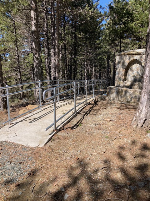
After stopping for a rest at the reservoir picnic site you’ll need to make your way to Prodromos itself. To do this, go to the green-roofed ash pit at the BBQ shelter. Directly behind this is a new stone path with a metal railing heading right towards a newly-constructed (as of March 2026) toilet block.
Walk alongside but to the left of this path (with the metal railing immediately on your right) and just before you reach the toilet block there is a path heading downhill through the trees to your left.
Follow the track downhill for some 50-60 metres until you come to a T-junction with another track next to some telegraph poles (KA123 is the identifier on the left hand pole).

Turn left here and follow the track in a gradual U-turn, initially heading away from Prodromos until, after 7-8 minutes you descend to a larger junction (2 hours 50 minutes). There is a trig point (marked as ‘540’) at this junction, although when the photo below was taken it was half-hidden by a mound of gravel!

Turn sharp right at this junction and start heading back towards Prodromos. After some 7-8 minutes the track becomes a concrete road before passing some houses and looping down to the Troodos-Prodromos road at around 3 hours. Turn left onto the quiet asphalt road, walking downhill for about 10 minutes to arrive at Prodromos. (3 hours 10 minutes)
If you’re looking to rest at this point there is a designated Viewing Point to the left of the road (just past the blue ‘Prodromos Welcomes You’ sign) before you come in to Prodromos. A few yards off the road and up a hillock there is a shelter, a picnic bench and some incredible views down from the mountainside. We usually have lunch here!
As you enter Prodromos you will see a roundabout near a restaurant and a gift shop. Both are expensive as this is a popular stopping-point for jeep safaris and coach trips. So don’t miss the opportunity to occupy the moral high ground and to feel smug about your healthy hike before you continue on your way.
From the roundabout there is a narrow cobbled street leading downhill behind the mini market with a yellow pillar box on the left hand side.
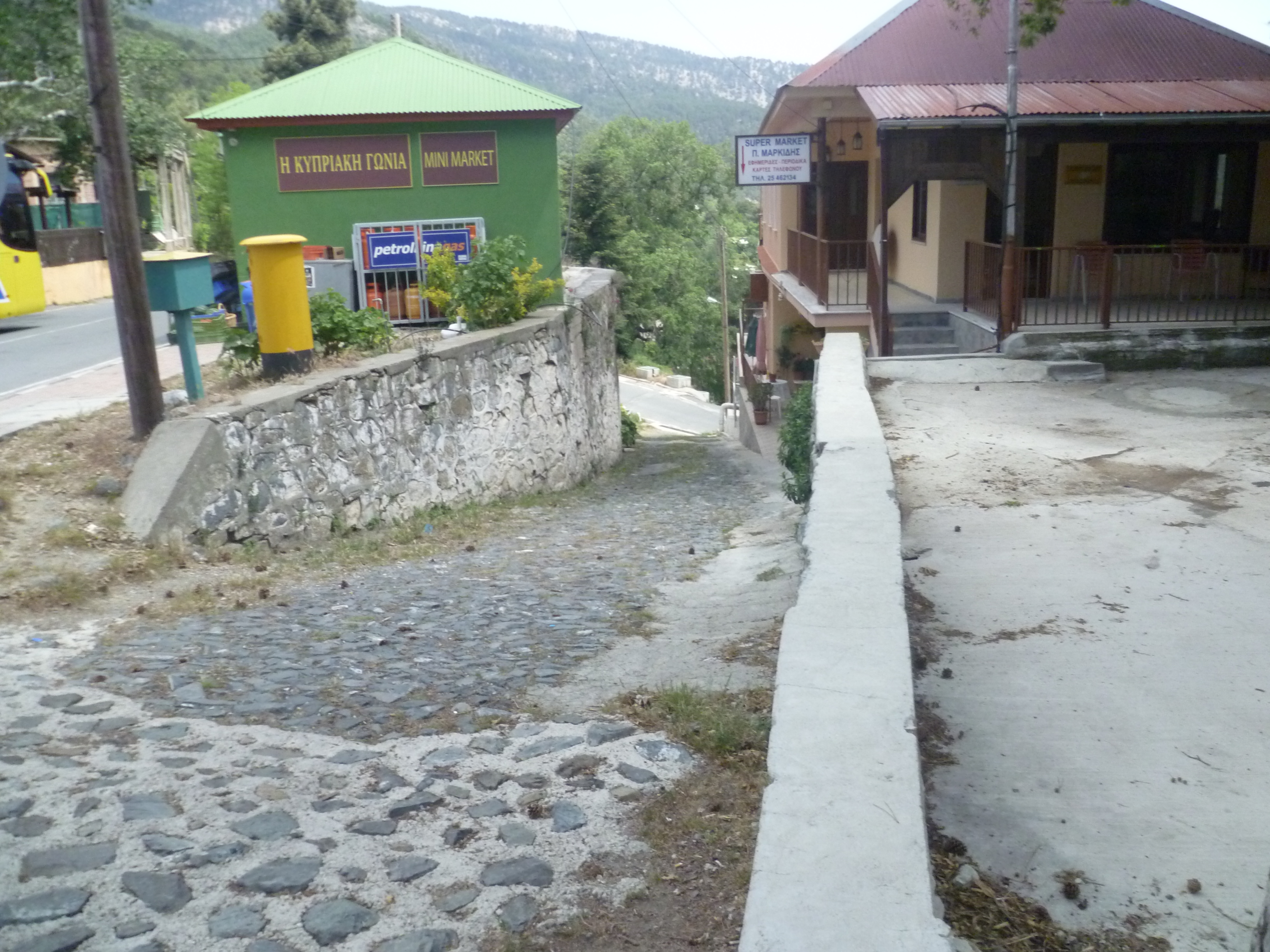
Take this street to swiftly reach an asphalt road at the bottom, Cross this road and carry straight on, passing a house with green shutters on your right. This is now a concrete road heading steeply downhill.
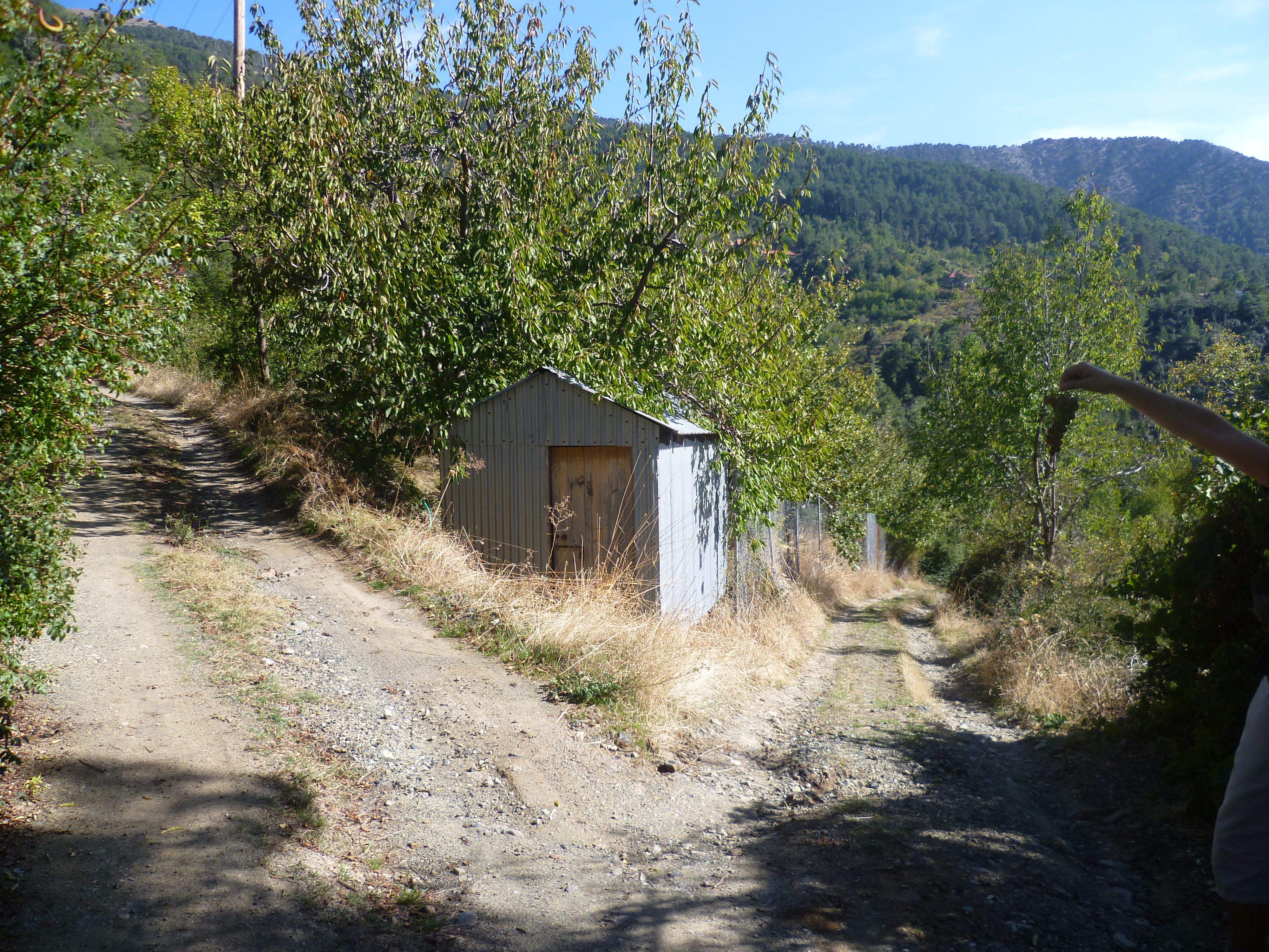
Follow this road as it curves around and leaves the village, passing water tanks with goldfish swimming in them and through verdant vineyards and orchards. Depending on the time of year when you walk this route the path is overhung with cherries, apples, almonds, grapes and much more! Ignore all of the tracks going off to the right or left. Most of them are very obviously not the main track so you shouldn’t lose your way here. After 20 minutes you will reach a fork in the road with a small hut directly in front of you. (3 hours 30 minutes)
Take the path to the left. After approximately six or seven minutes (3 hours 35 minutes) ignore a left turn next to a deep fissure and continue ahead on the downhill path to the right.

And after another five or six minutes, go left uphill at the next fork in the path. (3 hours 45 minutes)
Continue along this path, ignoring all side turnings to left and right, to climb back up to the Kambi tou Kalygyrou camp site. (4 hours 15 minutes). This is comparatively easy contour walking with great views across the island to your right.
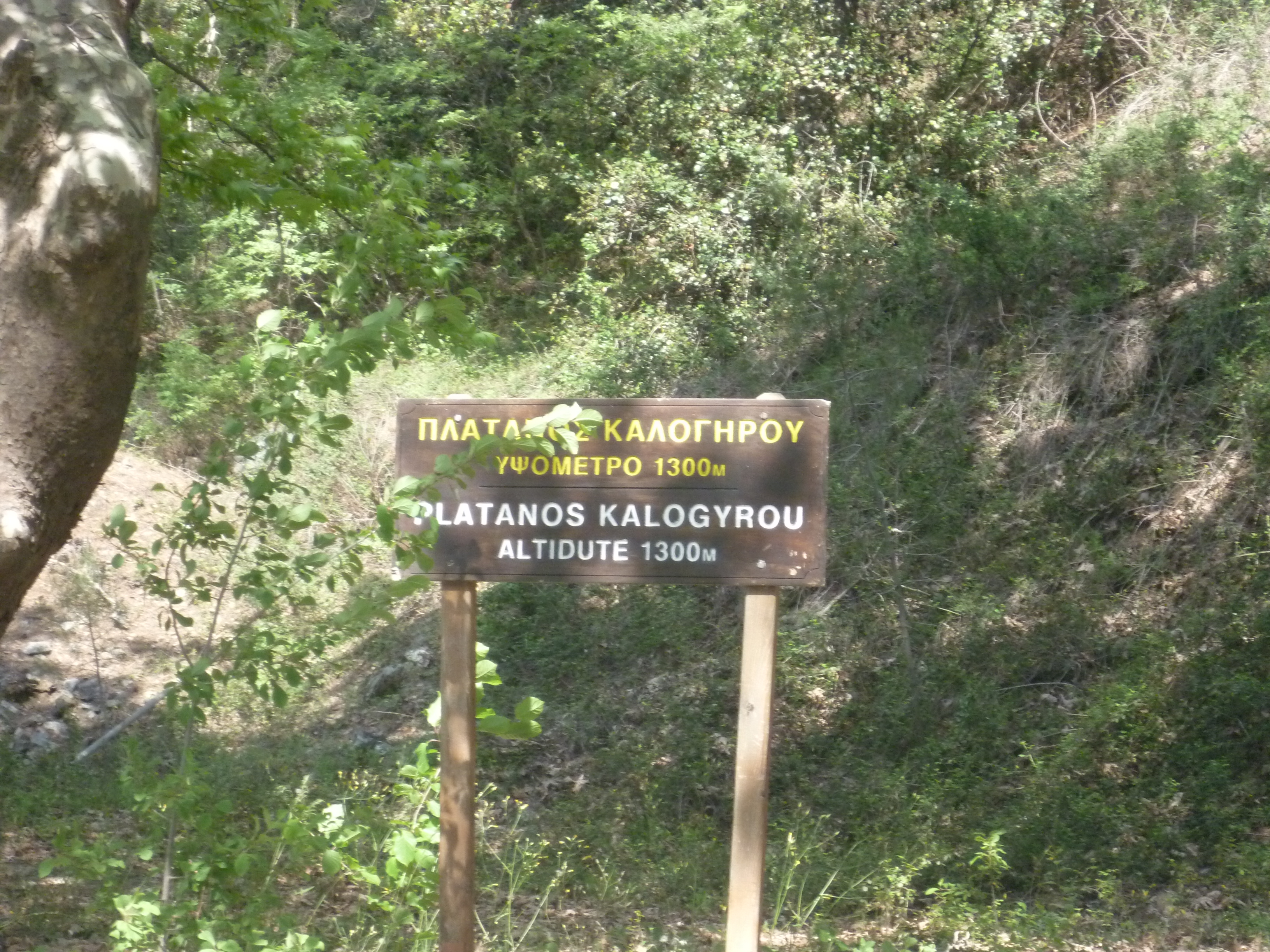
On arriving at the camp site you now need to turn right (i.e. away from Prodromos and towards Platres) onto the quiet asphalt road and walk along it for about 10 minutes. Pass a sign indicating Platanos Kalogyrou on the left of the road.
Almost immediately afterwards you will see a track leading off the road to the right and signposted to Trooditissa 3km. (4 hours 25 minutes)
Follow this, heading gradually downhill, until it rejoins the path you took when you left the monastery this morning. (5 hours 5 minutes). This is the point where the green hiking signs are – as in the photo above at the 20 minutes point. Turn left here and climb back to the monastery.
As it’s always harder uphill you should be back at your starting point after about 5 hours 30 minutes.
Birds seen on this walk: Blackbird, Chaffinch, Chiff Chaff, Chukar, Coal Tit, Cyprus Wheatear, Goldfinch, Great Tit, Grey Heron, Grey Wagtail, Hooded Crow, House Sparrow, Jackdaw, Jay, Magpie, Pied Wagtail, Pied Wheatear, Robin, Serin, Swift, Short-toed Treecreeper, Wheatear, Willow Warbler, Wood Pigeon
NB: Moufflon often seen on this walk!
